Ling Heath

Downs, Moorland in Norfolk Breckland

England

Ling Heath

Peddars Way A section of the Peddars Way & Norfolk Coast Path, also the NCR 13 follows this section of the Peddars Way.
Peddars Way Credit: Chris McAuley

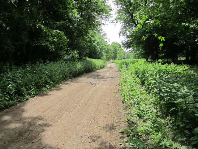
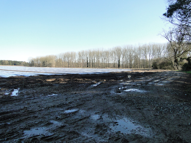
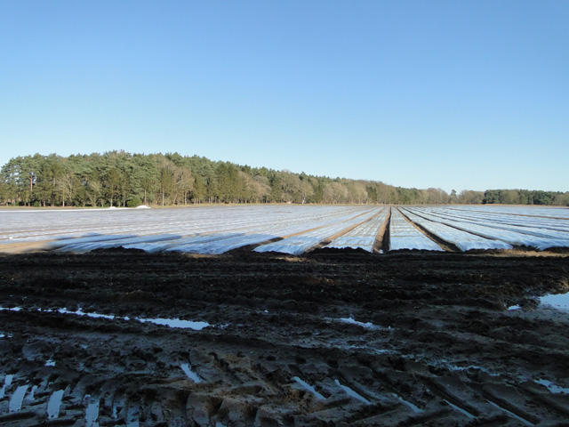
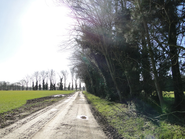
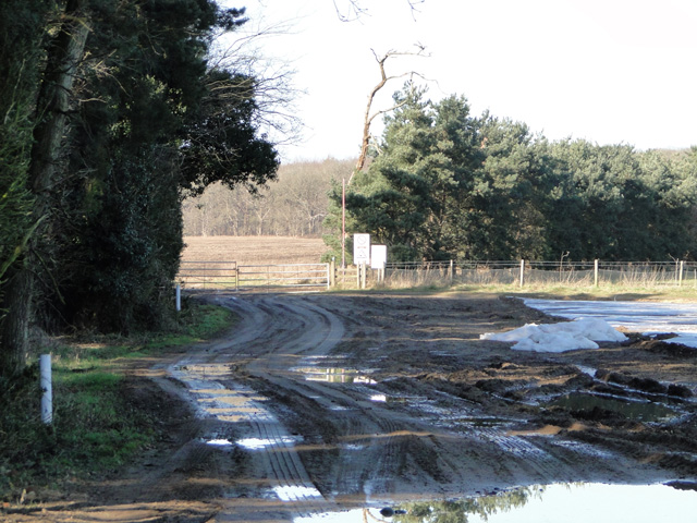
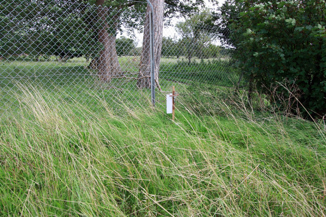
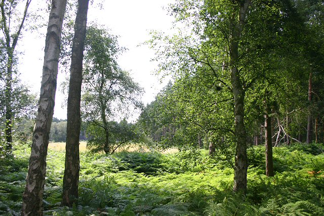
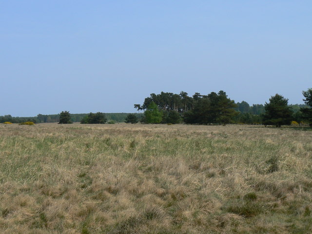
Ling Heath is a stunning natural landscape situated in Norfolk, England. With its vast expanse of downs and moorland, it offers visitors a unique and breathtaking experience. Covering an area of approximately 500 hectares, Ling Heath is a haven for nature enthusiasts and those seeking tranquility amidst the beauty of the outdoors.

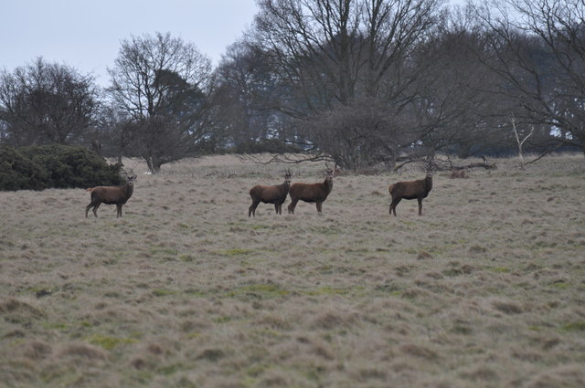
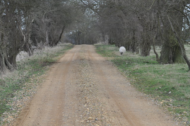
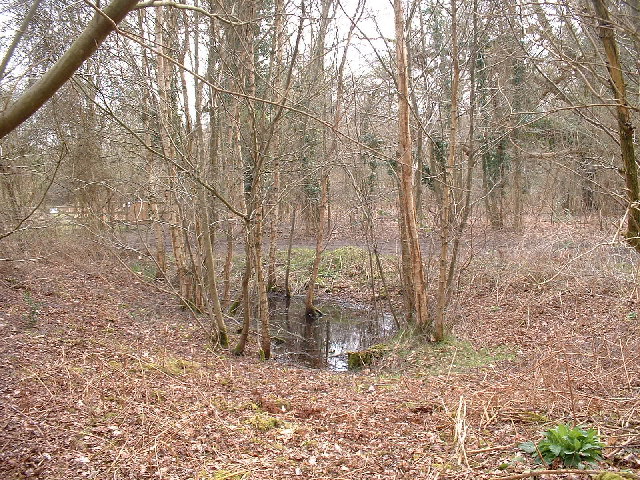
The downs at Ling Heath are characterized by their rolling hills and wide open spaces. Visitors can enjoy long walks or hikes, taking in the panoramic views of the surrounding countryside. The moorland, on the other hand, is a captivating sight with its heather-covered hills and vibrant colors. It is home to a diverse range of flora and fauna, including rare bird species and wildflowers.

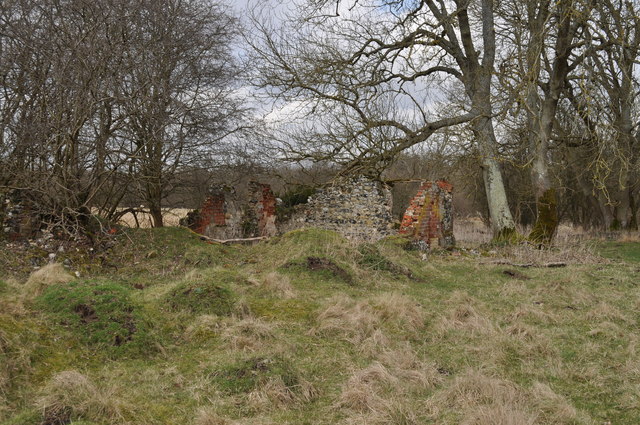
The area is also known for its historical significance. Ling Heath has been inhabited since ancient times, and evidence of human activity can be found in the form of burial mounds and ancient settlements. It is a place of archaeological interest, attracting researchers and history enthusiasts alike.

Nature conservation efforts have been put in place to protect the unique ecosystem of Ling Heath. The area is designated as a Site of Special Scientific Interest (SSSI), ensuring the preservation of its natural beauty and biodiversity. Visitors are encouraged to respect the environment and follow designated paths to minimize disturbance to the delicate ecosystem.

In conclusion, Ling Heath in Norfolk is a remarkable destination for those seeking to immerse themselves in the beauty of nature. With its downs, moorland, and rich history, it offers a truly unforgettable experience for all who visit.

If you have any feedback on the listing, please let us know in the comments section below.
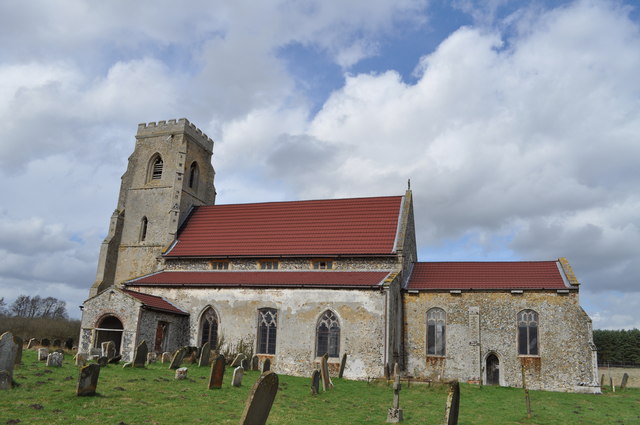
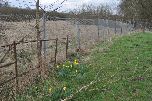
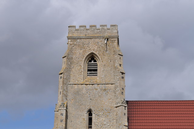
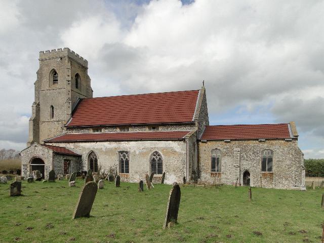
Ling Heath Images

Images are sourced within 2km of 52.506938/0.79455042 or Grid Reference TL8993. Thanks to Geograph Open Source API. All images are credited.

Peddars Way A section of the Peddars Way & Norfolk Coast Path, also the NCR 13 follows this section of the Peddars Way.
Peddars Way
A section of the Peddars Way & Norfolk Coast Path, also the NCR 13 follows this section of the Peddars Way.
Agricultural crop under plastic next to the firing range STANTA stands for STANford Training Area situated roughly TL 8495. 
The area was established in 1942 when a battle training area was required and a 'Nazi village' established. Military exercises were already taking place in the area; tanks had deployed to Thetford in the First World War. The complete takeover involved the complete evacuation of the villages of Buckenham Tofts, Langford, Stanford, Sturston, Tottington and West Tofts. The occupants of the houses were all rehoused in the belief that they would be allowed to return after the war. However the site was so valuable to the military that they have taken up permanent occupancy.  
The area was used during the run-up to the D-Day invasion and since then has hosted many exercises. 
The battle area includes four historic churches; the one at West Tofts was restored by Pugin and a new "church" forms part of the specially constructed village of Eastmere. Eastmere was originally built to give soldiers experience of fighting on the northern European plains.
There is a short landing strip for Harrier aircraft at TL 8332 9704
As a live firing area, access is not allowed without special permission from the Army. In the main this is limited to a number of tours a year and compassionate grounds for former residents of the villages or their relatives.
The area forms part of the distinctive Breckland landscape region, a gorse-covered sandy heath which offers poor agricultural opportunities but farms are still active and sheep graze within its confines. Arguably, its use as a military training area has safeguarded a substantial archaeological landscape. It is the home of a wealth of rare species of flora and fauna already lost in other parts of the country. Parts of the training area are designated Site of Special Scientific Interest (SSSI).
The battle area was used in the filming of many of the episodes of the TV comedy series, Dad's Army.
Agricultural crop under plastic next to the firing range
STANTA stands for STANford Training Area situated roughly TL 8495. The area was established in 1942 when a battle training area was required and a 'Nazi village' established. Military exercises were already taking place in the area; tanks had deployed to Thetford in the First World War. The complete takeover involved the complete evacuation of the villages of Buckenham Tofts, Langford, Stanford, Sturston, Tottington and West Tofts. The occupants of the houses were all rehoused in the belief that they would be allowed to return after the war. However the site was so valuable to the military that they have taken up permanent occupancy. The area was used during the run-up to the D-Day invasion and since then has hosted many exercises. The battle area includes four historic churches; the one at West Tofts was restored by Pugin and a new "church" forms part of the specially constructed village of Eastmere. Eastmere was originally built to give soldiers experience of fighting on the northern European plains. There is a short landing strip for Harrier aircraft at TL 8332 9704 As a live firing area, access is not allowed without special permission from the Army. In the main this is limited to a number of tours a year and compassionate grounds for former residents of the villages or their relatives. The area forms part of the distinctive Breckland landscape region, a gorse-covered sandy heath which offers poor agricultural opportunities but farms are still active and sheep graze within its confines. Arguably, its use as a military training area has safeguarded a substantial archaeological landscape. It is the home of a wealth of rare species of flora and fauna already lost in other parts of the country. Parts of the training area are designated Site of Special Scientific Interest (SSSI). The battle area was used in the filming of many of the episodes of the TV comedy series, Dad's Army.
Track to Gregson's Plantation
One of the many entrances to STANTA STANTA stands for STANford Training Area situated roughly TL 8495. 
The area was established in 1942 when a battle training area was required and a 'Nazi village' established. Military exercises were already taking place in the area; tanks had deployed to Thetford in the First World War. The complete takeover involved the complete evacuation of the villages of Buckenham Tofts, Langford, Stanford, Sturston, Tottington and West Tofts. The occupants of the houses were all rehoused in the belief that they would be allowed to return after the war. However the site was so valuable to the military that they have taken up permanent occupancy.  
The area was used during the run-up to the D-Day invasion and since then has hosted many exercises. 
The battle area includes four historic churches; the one at West Tofts was restored by Pugin and a new "church" forms part of the specially constructed village of Eastmere. Eastmere was originally built to give soldiers experience of fighting on the northern European plains.
There is a short landing strip for Harrier aircraft at TL 8332 9704
As a live firing area, access is not allowed without special permission from the Army. In the main this is limited to a number of tours a year and compassionate grounds for former residents of the villages or their relatives.
The area forms part of the distinctive Breckland landscape region, a gorse-covered sandy heath which offers poor agricultural opportunities but farms are still active and sheep graze within its confines. Arguably, its use as a military training area has safeguarded a substantial archaeological landscape. It is the home of a wealth of rare species of flora and fauna already lost in other parts of the country. Parts of the training area are designated Site of Special Scientific Interest (SSSI).
The battle area was used in the filming of many of the episodes of the TV comedy series, Dad's Army.
One of the many entrances to STANTA
STANTA stands for STANford Training Area situated roughly TL 8495. The area was established in 1942 when a battle training area was required and a 'Nazi village' established. Military exercises were already taking place in the area; tanks had deployed to Thetford in the First World War. The complete takeover involved the complete evacuation of the villages of Buckenham Tofts, Langford, Stanford, Sturston, Tottington and West Tofts. The occupants of the houses were all rehoused in the belief that they would be allowed to return after the war. However the site was so valuable to the military that they have taken up permanent occupancy. The area was used during the run-up to the D-Day invasion and since then has hosted many exercises. The battle area includes four historic churches; the one at West Tofts was restored by Pugin and a new "church" forms part of the specially constructed village of Eastmere. Eastmere was originally built to give soldiers experience of fighting on the northern European plains. There is a short landing strip for Harrier aircraft at TL 8332 9704 As a live firing area, access is not allowed without special permission from the Army. In the main this is limited to a number of tours a year and compassionate grounds for former residents of the villages or their relatives. The area forms part of the distinctive Breckland landscape region, a gorse-covered sandy heath which offers poor agricultural opportunities but farms are still active and sheep graze within its confines. Arguably, its use as a military training area has safeguarded a substantial archaeological landscape. It is the home of a wealth of rare species of flora and fauna already lost in other parts of the country. Parts of the training area are designated Site of Special Scientific Interest (SSSI). The battle area was used in the filming of many of the episodes of the TV comedy series, Dad's Army.
Tottington - remains of building This is the remains of a building just outside of Tottington. This is situated inside the STANTA military battle training area and I visited on 26th March 2010 with special permission from the MoD.

The area was originally established in 1942 when a battle training area was required. Military exercises were already known in the area; tanks had trained at Thetford in the First World War. The complete takeover involved the evacuation of the villages of Buckenham Tofts, Langford, Stanford, Sturston, Tottington and West Tofts. All residents were evacuated in 1942.
Tottington - remains of building
This is the remains of a building just outside of Tottington. This is situated inside the STANTA military battle training area and I visited on 26th March 2010 with special permission from the MoD. The area was originally established in 1942 when a battle training area was required. Military exercises were already known in the area; tanks had trained at Thetford in the First World War. The complete takeover involved the evacuation of the villages of Buckenham Tofts, Langford, Stanford, Sturston, Tottington and West Tofts. All residents were evacuated in 1942.
Sturston Warren - deer grazing This is some deer grazing at Sturston Warren, situated inside the STANTA military battle training area and I visited on 26th March 2010 with special permission from the MoD.

The area was originally established in 1942 when a battle training area was required. Military exercises were already known in the area; tanks had trained at Thetford in the First World War. The complete takeover involved the evacuation of the villages of Buckenham Tofts, Langford, Stanford, Sturston, Tottington and West Tofts. All residents were evacuated in 1942.
Sturston Warren - deer grazing
This is some deer grazing at Sturston Warren, situated inside the STANTA military battle training area and I visited on 26th March 2010 with special permission from the MoD. The area was originally established in 1942 when a battle training area was required. Military exercises were already known in the area; tanks had trained at Thetford in the First World War. The complete takeover involved the evacuation of the villages of Buckenham Tofts, Langford, Stanford, Sturston, Tottington and West Tofts. All residents were evacuated in 1942.
Sturston Warren - road to Tottington This is the road from Sturston to Tottington. This is situated inside the STANTA military battle training area and I visited on 26th March 2010 with special permission from the MoD.

The area was originally established in 1942 when a battle training area was required. Military exercises were already known in the area; tanks had trained at Thetford in the First World War. The complete takeover involved the evacuation of the villages of Buckenham Tofts, Langford, Stanford, Sturston, Tottington and West Tofts. All residents were evacuated in 1942.
Sturston Warren - road to Tottington
This is the road from Sturston to Tottington. This is situated inside the STANTA military battle training area and I visited on 26th March 2010 with special permission from the MoD. The area was originally established in 1942 when a battle training area was required. Military exercises were already known in the area; tanks had trained at Thetford in the First World War. The complete takeover involved the evacuation of the villages of Buckenham Tofts, Langford, Stanford, Sturston, Tottington and West Tofts. All residents were evacuated in 1942.
St. Andrew Church, Tottington This is St. Andrew Church, Tottington. This church is situated inside the STANTA military battle training area and I visited on 26th March 2010 with special permission from the MoD.

The area was originally established in 1942 when a battle training area was required. Military exercises were already known in the area; tanks had trained at Thetford in the First World War. The complete takeover involved the evacuation of the villages of Buckenham Tofts, Langford, Stanford, Sturston, Tottington and West Tofts. All residents were evacuated in 1942.
St. Andrew Church, Tottington
This is St. Andrew Church, Tottington. This church is situated inside the STANTA military battle training area and I visited on 26th March 2010 with special permission from the MoD. The area was originally established in 1942 when a battle training area was required. Military exercises were already known in the area; tanks had trained at Thetford in the First World War. The complete takeover involved the evacuation of the villages of Buckenham Tofts, Langford, Stanford, Sturston, Tottington and West Tofts. All residents were evacuated in 1942.
St. Andrew Church, Tottington - churchyard This is the churchyard of St. Andrew Church, Tottington. This church is situated inside the STANTA military battle training area and I visited on 26th March 2010 with special permission from the MoD.

The area was originally established in 1942 when a battle training area was required. Military exercises were already known in the area; tanks had trained at Thetford in the First World War. The complete takeover involved the evacuation of the villages of Buckenham Tofts, Langford, Stanford, Sturston, Tottington and West Tofts. All residents were evacuated in 1942.
St. Andrew Church, Tottington - churchyard
This is the churchyard of St. Andrew Church, Tottington. This church is situated inside the STANTA military battle training area and I visited on 26th March 2010 with special permission from the MoD. The area was originally established in 1942 when a battle training area was required. Military exercises were already known in the area; tanks had trained at Thetford in the First World War. The complete takeover involved the evacuation of the villages of Buckenham Tofts, Langford, Stanford, Sturston, Tottington and West Tofts. All residents were evacuated in 1942.
St. Andrew Church, Tottington - interior This is the interior of St. Andrew Church, Tottington. This church is situated inside the STANTA military battle training area and I visited on 26th March 2010 with special permission from the MoD.

The area was originally established in 1942 when a battle training area was required. Military exercises were already known in the area; tanks had trained at Thetford in the First World War. The complete takeover involved the evacuation of the villages of Buckenham Tofts, Langford, Stanford, Sturston, Tottington and West Tofts. All residents were evacuated in 1942.
St. Andrew Church, Tottington - interior
This is the interior of St. Andrew Church, Tottington. This church is situated inside the STANTA military battle training area and I visited on 26th March 2010 with special permission from the MoD. The area was originally established in 1942 when a battle training area was required. Military exercises were already known in the area; tanks had trained at Thetford in the First World War. The complete takeover involved the evacuation of the villages of Buckenham Tofts, Langford, Stanford, Sturston, Tottington and West Tofts. All residents were evacuated in 1942.
St. Andrew Church, Tottington - tower This is the tower of St. Andrew Church, Tottington. This church is situated inside the STANTA military battle training area and I visited on 26th March 2010 with special permission from the MoD.

The area was originally established in 1942 when a battle training area was required. Military exercises were already known in the area; tanks had trained at Thetford in the First World War. The complete takeover involved the evacuation of the villages of Buckenham Tofts, Langford, Stanford, Sturston, Tottington and West Tofts. All residents were evacuated in 1942.
St. Andrew Church, Tottington - tower
This is the tower of St. Andrew Church, Tottington. This church is situated inside the STANTA military battle training area and I visited on 26th March 2010 with special permission from the MoD. The area was originally established in 1942 when a battle training area was required. Military exercises were already known in the area; tanks had trained at Thetford in the First World War. The complete takeover involved the evacuation of the villages of Buckenham Tofts, Langford, Stanford, Sturston, Tottington and West Tofts. All residents were evacuated in 1942.
Tottington St. Andrew's church This substantial 14th c. church was built on the site of a much earlier building, probably pre-Conquest. The three window clerestory is supported by unusual elongated quatrefoil piers. The chancel was partially rebuilt in the 19th c.  The benches and screen were loaned to Rockland St. Peter. The benches which are well carved with poppy-heads and decorative ends have been returned, but because some were cut down to fit that church, they are now of little use here and are stacked against the walls. The octagonal font bowl lies on the floor with the shaft standing nearby.
Tottington St. Andrew's church
This substantial 14th c. church was built on the site of a much earlier building, probably pre-Conquest. The three window clerestory is supported by unusual elongated quatrefoil piers. The chancel was partially rebuilt in the 19th c. The benches and screen were loaned to Rockland St. Peter. The benches which are well carved with poppy-heads and decorative ends have been returned, but because some were cut down to fit that church, they are now of little use here and are stacked against the walls. The octagonal font bowl lies on the floor with the shaft standing nearby.
St Andrew, Tottington, Norfolk - Churchyard
St Andrew, Tottington, Norfolk - South aisle
Pingo, near Thompson Water A pingo is a relic of the Ice Age - a frozen piece of ice forced the earth up, and when it melted the indentation was left - a pond today.
Pingo, near Thompson Water
A pingo is a relic of the Ice Age - a frozen piece of ice forced the earth up, and when it melted the indentation was left - a pond today.
Blackrabbit Warren Viewed from the Peddars Way, this area is part of the Stanford Training Area, where public access is forbidden due to the presence of unexploded ammunition.
Blackrabbit Warren
Viewed from the Peddars Way, this area is part of the Stanford Training Area, where public access is forbidden due to the presence of unexploded ammunition.
Show me another place!

Ling Heath is located at Grid Ref: TL8993 (Lat: 52.506938, Lng: 0.79455042)

Administrative County: Norfolk

District: Breckland

Police Authority: Norfolk

What 3 Words

///tester.sang.remaking. Near Watton, Norfolk

Related Wikis

Sturston, Norfolk

Sturston is a deserted village and civil parish in the English county of Norfolk. It is situated some 7+1⁄2 miles (12 km) north of the town of Thetford...

Tottington, Norfolk

Tottington is a deserted village and civil parish in the English county of Norfolk. It is situated some 6.2 miles (10.0 km) north of the town of Thetford...

Wretham Park Meres

Wretham Park Meres is a 30-hectare (74-acre) biological Site of Special Scientific Interest north of Thetford in Norfolk.This site consists of four natural...

Breckland

Breckland in Norfolk and Suffolk is a 39,433 hectare Special Protection Area (SPA) under the European Union Directive on the Conservation of Wild Birds...

Stanford Training Area SSSI

Stanford Training Area SSSI is part of the British Army Stanford Training Area. It is a 4,678-hectare (11,560-acre) biological and geological Site of Special...

Stanford Training Area

The Stanford Training Area (STANTA), originally known as the Stanford Battle Area, is a British Army training area situated in the English county of Norfolk...

Great Eastern Pingo Trail

Great Eastern Pingo Trail is a 9.2 kilometres (5.7 miles) long footpath along a disused railway line north of Thetford in Norfolk. It is a 4.2-hectare...

Thompson Water, Carr and Common

Thompson Water, Carr and Common is a 154.7-hectare (382-acre) biological Site of Special Scientific Interest north of Thetford in Norfolk. Most of it is...

Have you been to Ling Heath?

Leave your review of Ling Heath below (or comments, questions and feedback).