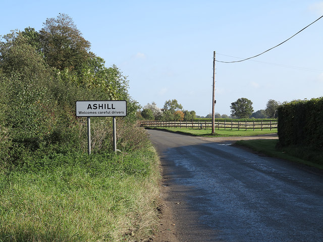
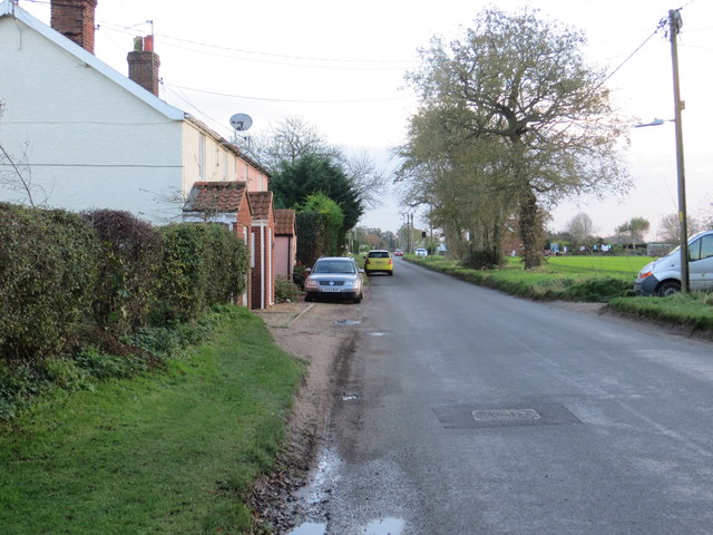
Ashill Common

Downs, Moorland in Norfolk Breckland

England

Ashill Common

Post Box at Ashill IP25 3201. Royal Mail list this box as 'The Green'.
My shadow is also in the photograph!
Post Box at Ashill Credit: David Bremner

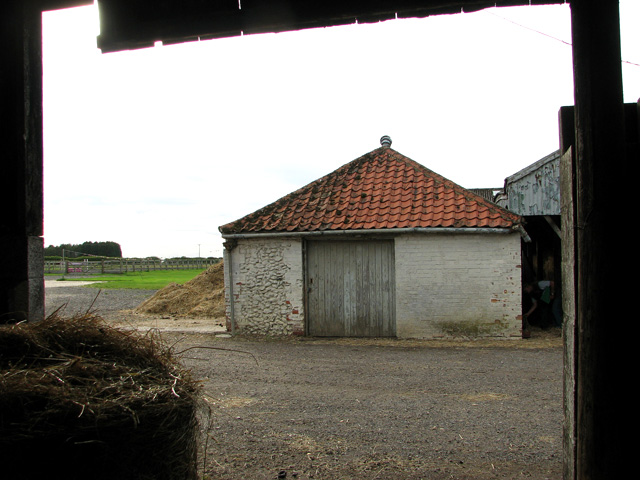
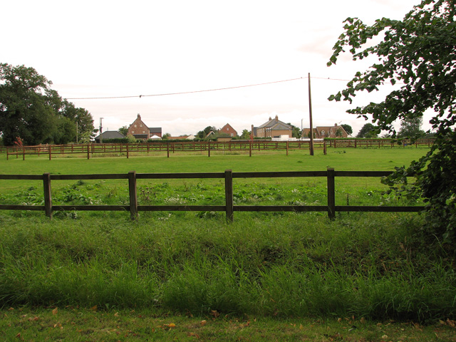
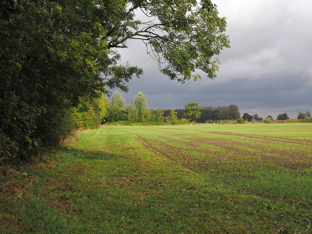
Ashill Common is a picturesque area located in Norfolk, England, known for its stunning landscapes and diverse ecosystems. Covering an area of approximately 2 square kilometers, the common is characterized by its rolling hills, lush green meadows, and expansive moorland.

The common is home to a variety of flora and fauna, making it a haven for nature enthusiasts. The grasslands are adorned with wildflowers, such as harebells and buttercups, creating a vibrant and colorful display during the spring and summer months. The moorland areas are dominated by heather and gorse, providing a unique habitat for many rare bird species, including the Dartford warbler and the stonechat.

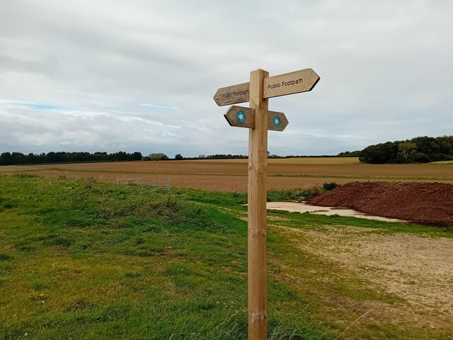
Walking trails crisscross the common, allowing visitors to explore its diverse landscapes at their own pace. These trails offer breathtaking views of the surrounding countryside, with glimpses of the nearby Breckland and Thetford Forest. On clear days, it is even possible to see the Norfolk coast in the distance.

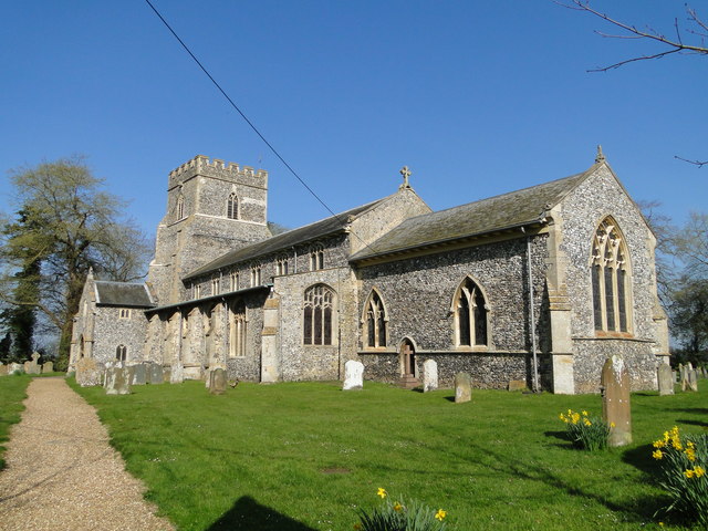
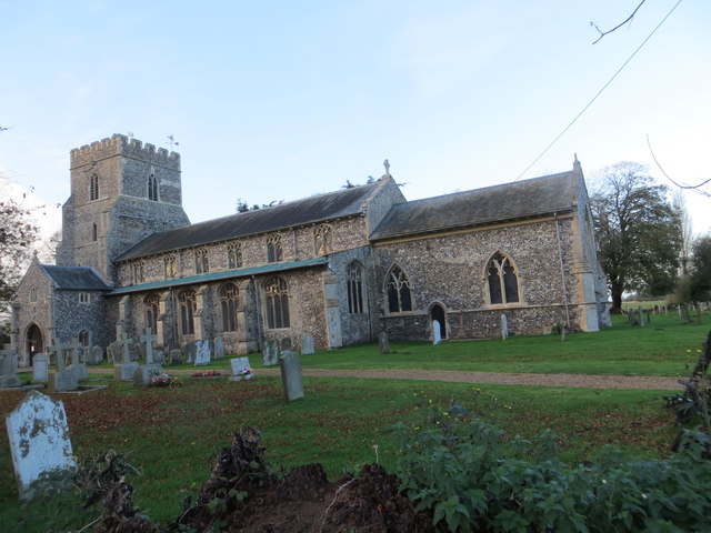
Ashill Common is not only a haven for wildlife but also a place of historical significance. The remains of ancient settlements and burial mounds can be found scattered throughout the common, providing a glimpse into the area's rich past.

Overall, Ashill Common offers a tranquil escape from the hustle and bustle of everyday life, providing visitors with the opportunity to immerse themselves in the beauty of nature and explore Norfolk's diverse landscapes.

If you have any feedback on the listing, please let us know in the comments section below.

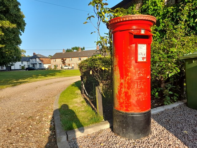
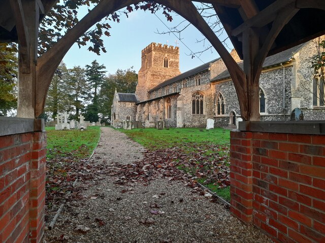
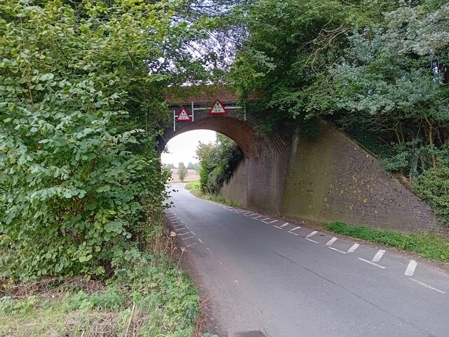
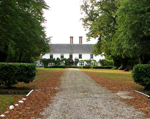
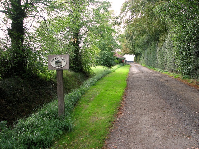
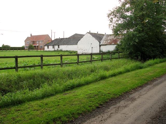
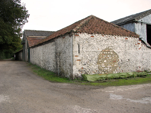
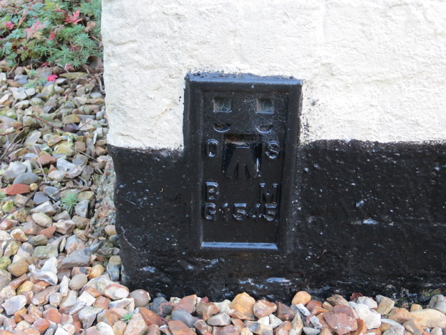
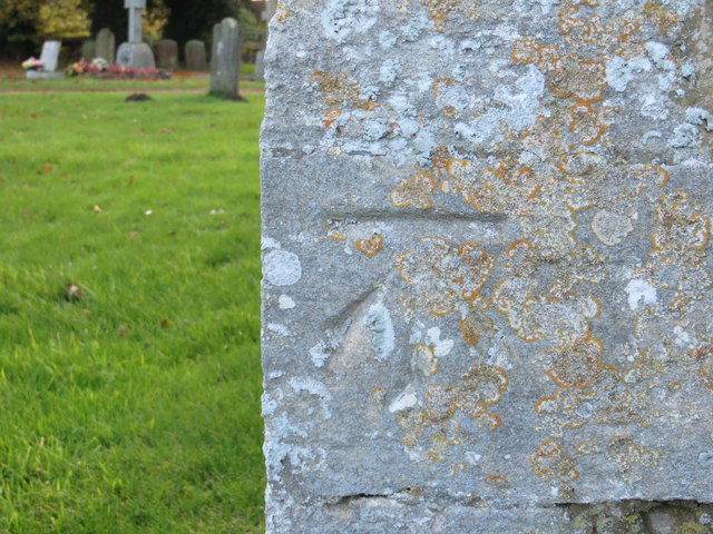
Ashill Common Images

Images are sourced within 2km of 52.613355/0.79956744 or Grid Reference TF8905. Thanks to Geograph Open Source API. All images are credited.

Post Box at Ashill IP25 3201. Royal Mail list this box as 'The Green'.
My shadow is also in the photograph!
Post Box at Ashill
IP25 3201. Royal Mail list this box as 'The Green'. My shadow is also in the photograph!
St Nicholas Church, Ashill Early morning sunlight touches the fine church at Ashill.
St Nicholas Church, Ashill
Early morning sunlight touches the fine church at Ashill.
Old Railway Bridge Part of the old Thetford & Watton Railway.
Old Railway Bridge
Part of the old Thetford & Watton Railway.
Footpath Sign Typical scenery of the area.
Footpath Sign
Typical scenery of the area.
Bury's Hall, Ashill
Bury's Hall, Ashill
Driveway to Hannover Farm, Ashill
Farm buildings, Ashill
Farm sheds, Ashill
Farm sheds, Ashill
Old farm building, Ashill
Paddocks beside Hale Road, Ashill
St. Nicholas' church, Ashill A lovely 14th c. tower with an first rate unusual ogee arch around the west doorway and a good three-light reticulated window above. Just below the parapet are two fine gargoyles. The 15th c. font has geometric decoration and faces beneath the bowl. The arcade and screen are all from in the same period. The chancel which weeps slightly is the oldest part of the church, dating from the 13th c. it still has the original corner piscina and sedilia. Each of the many wall posts which support the roof are themselves supported on corbels of various design, some faces, a grotesque and others floriated. The complex roof was put up in 1618 but some major timbers had to be replaced 1867. Much of the window glass has been removed from its original window and re-set elsewhere. All furnishings are Victorian.
St. Nicholas' church, Ashill
A lovely 14th c. tower with an first rate unusual ogee arch around the west doorway and a good three-light reticulated window above. Just below the parapet are two fine gargoyles. The 15th c. font has geometric decoration and faces beneath the bowl. The arcade and screen are all from in the same period. The chancel which weeps slightly is the oldest part of the church, dating from the 13th c. it still has the original corner piscina and sedilia. Each of the many wall posts which support the roof are themselves supported on corbels of various design, some faces, a grotesque and others floriated. The complex roof was put up in 1618 but some major timbers had to be replaced 1867. Much of the window glass has been removed from its original window and re-set elsewhere. All furnishings are Victorian.
Ordnance Survey Cut Mark This OS cut mark can be found on the NE face of the Church of St Nicholas. It marks a point 72.4228m above mean sea level.
Ordnance Survey Cut Mark
This OS cut mark can be found on the NE face of the Church of St Nicholas. It marks a point 72.4228m above mean sea level.
Watton Road entering Ashill Watton Road heading north into the village of Ashill.
Watton Road entering Ashill
Watton Road heading north into the village of Ashill.
Wheat emerging from field at Ashill The field is at the north end of the village on the east side of Hale Road.
Wheat emerging from field at Ashill
The field is at the north end of the village on the east side of Hale Road.
Hale Road at Ashill near Reeves Farm Looking southward.
Hale Road at Ashill near Reeves Farm
Looking southward.
The Church of St Nicholas at Ashill Viewed from the south-east.
The Church of St Nicholas at Ashill
Viewed from the south-east.
Ordnance Survey Flush Bracket G1545 This can be found on the wall of a house - a private dwelling - at Reeve's farm, Ashill.
For more detail see : <span class="nowrap"><a title="http://www.bench-marks.org.uk/bm10733" rel="nofollow ugc noopener" href="http://www.bench-marks.org.uk/bm10733">Link</a><img style="margin-left:2px;" alt="External link" title="External link - shift click to open in new window" src="https://s1.geograph.org.uk/img/external.png" width="10" height="10"/></span>
Ordnance Survey Flush Bracket G1545
This can be found on the wall of a house - a private dwelling - at Reeve's farm, Ashill. For more detail see : LinkExternal link
Ordnance Survey Cut Mark This can be found on the wall of St Nicholas Church at Ashill.
For more detail see : <span class="nowrap"><a title="http://www.bench-marks.org.uk/bm46562" rel="nofollow ugc noopener" href="http://www.bench-marks.org.uk/bm46562">Link</a><img style="margin-left:2px;" alt="External link" title="External link - shift click to open in new window" src="https://s1.geograph.org.uk/img/external.png" width="10" height="10"/></span>
Ordnance Survey Cut Mark
This can be found on the wall of St Nicholas Church at Ashill. For more detail see : LinkExternal link
Show me another place!

Ashill Common is located at Grid Ref: TF8905 (Lat: 52.613355, Lng: 0.79956744)

Administrative County: Norfolk

District: Breckland

Police Authority: Norfolk

What 3 Words

///slowly.exile.strapping. Near Ashill, Norfolk

Nearby Locations

Ashill Common

Related Wikis

Ashill, Norfolk

Ashill (pronounced Ash- ill ) is a village and civil parish in the English county of Norfolk. The village is between Watton and Swaffham. == Parish... ==

Holme Hale

Holme Hale is a village situated in the Breckland District of Norfolk and covers an area of 1069 hectares (4.13 square miles) with an estimated population...

Holme Hale railway station

Holme Hale railway station was located in Holme Hale, Norfolk, near Swaffham. It was on the Great Eastern Railway line between Swaffham and Thetford, and...

Houghton on the Hill, Norfolk

Houghton on the Hill is a deserted medieval village and former civil parish, now in the parish of North Pickenham in the Breckland district of Norfolk...

Old Manor, Saham Toney

The Old Manor is a Grade II listed building, which stands in Pages Lane/Page's Place in the Norfolk village of Saham Toney. The building was owned by...

Saham Toney

Saham Toney is a village and a civil parish in the English county of Norfolk. The village is 14.5 miles (23.3 km) north of Thetford, 27.3 miles (43.9 km...

North Pickenham

North Pickenham is a village in the Breckland district of mid-Norfolk, East Anglia, England. It lies three miles from the Georgian market town of Swaffham...

South Pickenham

South Pickenham is a small village and civil parish in the Breckland district of mid Norfolk, East Anglia, England. It has an area of 758 hectares (2.93...

Nearby Amenities

Located within 500m of 52.613355,0.79956744
Bench
Backrest: yes
Material: wood
Seats: 3
Lat/Long: 52.6135592/0.7944888
Bench
Backrest: yes
Material: wood
Seats: 3
Lat/Long: 52.6137699/0.7966202
Bench
Backrest: yes
Material: wood
Seats: 3
Lat/Long: 52.615063/0.7979841
Bicycle Parking
Access: yes
Bicycle Parking: stands
Fee: no
Surface: ground
Lat/Long: 52.6120232/0.7972917
The data included in this document is from www.openstreetmap.org. The data is made available under ODbL.

Have you been to Ashill Common?

Leave your review of Ashill Common below (or comments, questions and feedback).