Butterhole Covert
Wood, Forest in Norfolk Breckland
England
Butterhole Covert
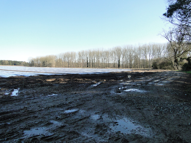
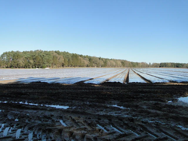
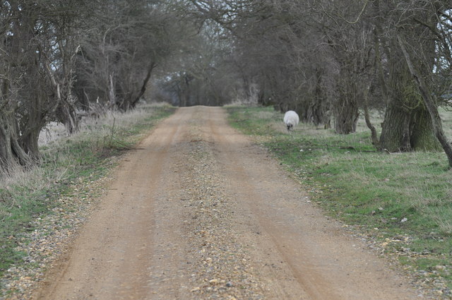
Butterhole Covert is a picturesque woodland located in Norfolk, England. Stretching over a vast area, the covert is known for its dense and lush forest, making it a popular destination for nature enthusiasts and hikers alike.
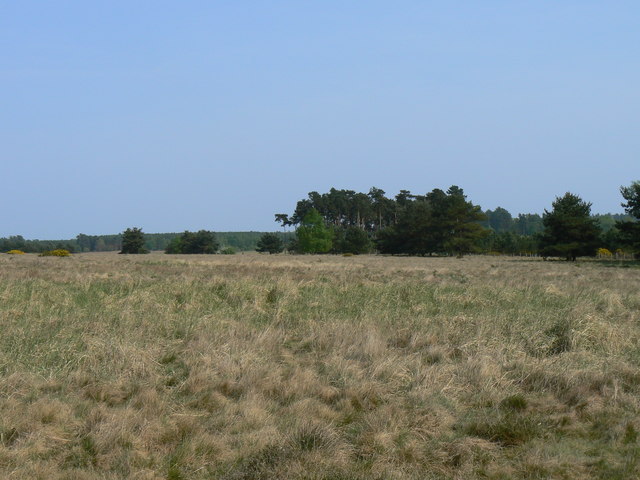
The woodland is characterized by a diverse range of trees, including oak, beech, and ash, which create a vibrant and colorful canopy during the autumn months. The forest floor is adorned with a variety of wildflowers, adding to the beauty of the area.
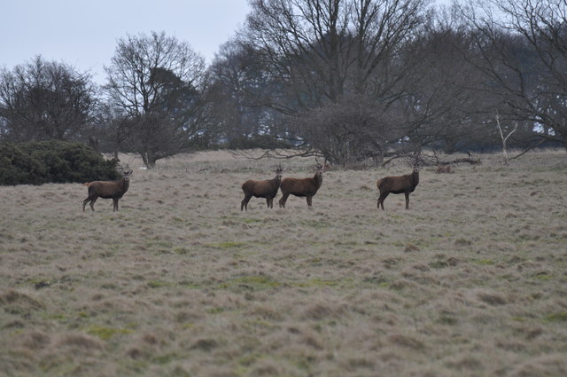
Butterhole Covert is home to a rich and diverse wildlife population. Visitors may encounter an array of animals, including deer, rabbits, squirrels, and a wide variety of bird species. The woodland provides a natural habitat for these creatures, offering a peaceful and undisturbed environment.
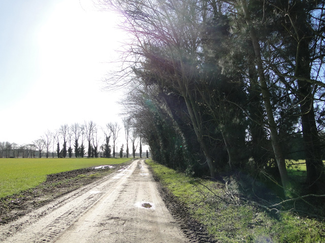
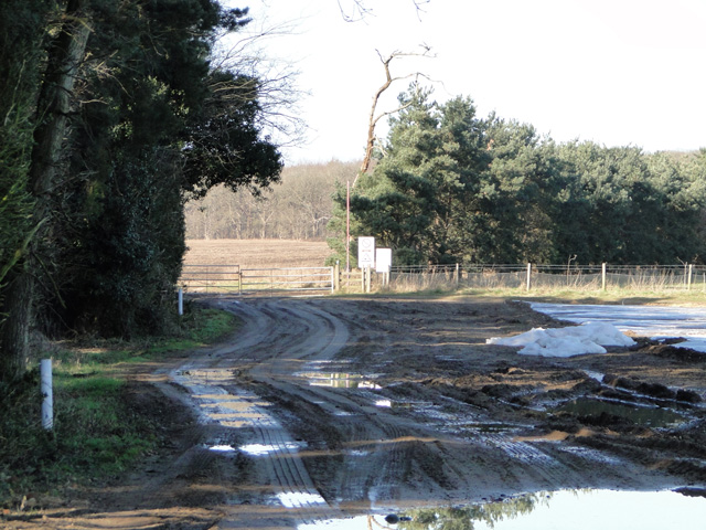
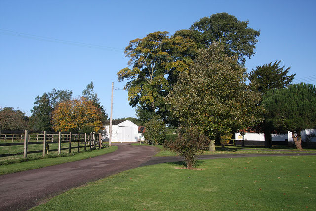
The covert is crisscrossed with well-maintained footpaths, allowing visitors to explore the area and enjoy its tranquil atmosphere. These paths lead to hidden meadows and small streams, providing an opportunity to observe the local flora and fauna up close. There are also designated picnic areas for visitors to relax and enjoy the surroundings.
The management of Butterhole Covert is overseen by local conservation authorities who work diligently to preserve the natural beauty of the woodland. They conduct regular maintenance activities, such as tree planting and habitat restoration, to ensure the longevity of the area.
Overall, Butterhole Covert offers a serene and captivating experience, allowing visitors to immerse themselves in the beauty of nature and explore the wonders of this enchanting Norfolk woodland.
If you have any feedback on the listing, please let us know in the comments section below.
Butterhole Covert Images
Images are sourced within 2km of 52.504948/0.78933986 or Grid Reference TL8993. Thanks to Geograph Open Source API. All images are credited.


Butterhole Covert is located at Grid Ref: TL8993 (Lat: 52.504948, Lng: 0.78933986)
Administrative County: Norfolk
District: Breckland
Police Authority: Norfolk
What 3 Words
///language.sympathy.describes. Near Watton, Norfolk
Related Wikis

Sturston, Norfolk
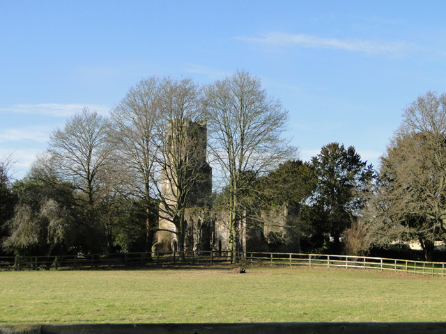
Sturston is a deserted village and civil parish in the English county of Norfolk. It is situated some 7+1⁄2 miles (12 km) north of the town of Thetford...
Breckland
Breckland in Norfolk and Suffolk is a 39,433 hectare Special Protection Area (SPA) under the European Union Directive on the Conservation of Wild Birds...

Wretham Park Meres
Wretham Park Meres is a 30-hectare (74-acre) biological Site of Special Scientific Interest north of Thetford in Norfolk.This site consists of four natural...

Tottington, Norfolk
Tottington is a deserted village and civil parish in the English county of Norfolk. It is situated some 6.2 miles (10.0 km) north of the town of Thetford...

Stanford Training Area SSSI
Stanford Training Area SSSI is part of the British Army Stanford Training Area. It is a 4,678-hectare (11,560-acre) biological and geological Site of Special...

Stanford Training Area
The Stanford Training Area (STANTA), originally known as the Stanford Battle Area, is a British Army training area situated in the English county of Norfolk...

Wretham
Wretham is a civil parish in the Breckland district of Norfolk, England. The parish includes the village of East Wretham, which is about 6 miles (10 km...

Great Eastern Pingo Trail
Great Eastern Pingo Trail is a 9.2 kilometres (5.7 miles) long footpath along a disused railway line north of Thetford in Norfolk. It is a 4.2-hectare...
Have you been to Butterhole Covert?
Leave your review of Butterhole Covert below (or comments, questions and feedback).