Toll Wood
Wood, Forest in Kent Maidstone
England
Toll Wood

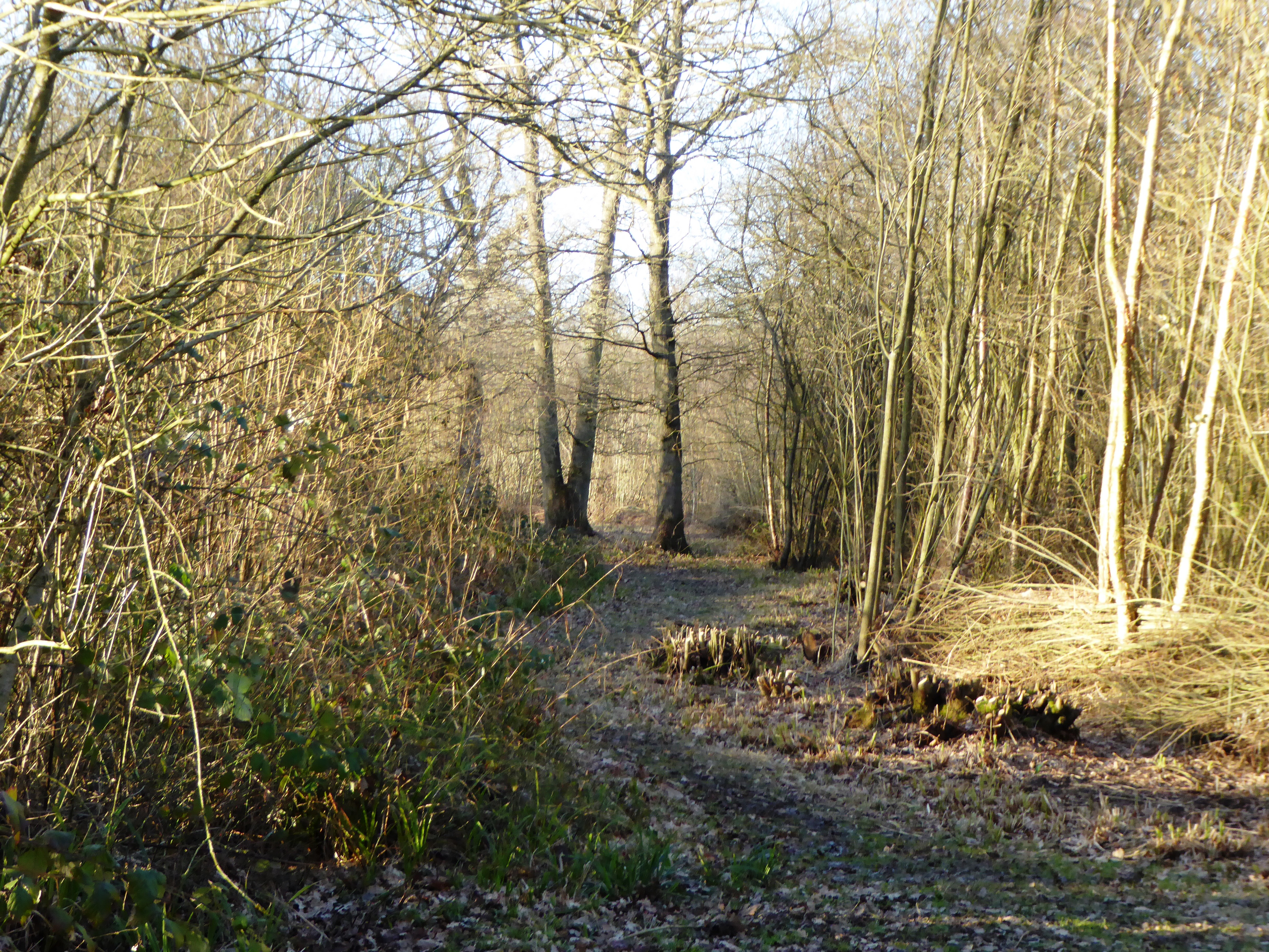
Toll Wood, located in Kent, England, is a picturesque forested area that spans over a vast expanse of land. Nestled amidst the rolling hills and verdant countryside, this woodland is a haven for nature lovers and outdoor enthusiasts alike.
Covering an area of approximately 500 acres, Toll Wood boasts a diverse range of flora and fauna, making it a significant ecological hotspot in the region. The forest is primarily composed of deciduous trees such as oak, birch, and beech, which provide a stunning display of vibrant colors throughout the seasons.
The wood is crisscrossed by a network of well-maintained footpaths and trails, allowing visitors to explore its enchanting beauty at their leisure. Hiking, jogging, and cycling are popular activities among locals and tourists who flock to Toll Wood to enjoy its tranquil ambiance and scenic vistas.
Wildlife enthusiasts will also find themselves captivated by the diverse array of fauna that call Toll Wood home. The forest is home to a variety of bird species, including woodpeckers, owls, and various songbirds. Foxes, badgers, and deer can also be spotted in the woodland, providing a glimpse into the rich biodiversity of the area.
Toll Wood offers a peaceful escape from the hustle and bustle of everyday life, with several picnic areas and shaded spots perfect for relaxation. Visitors can revel in the serenity of nature, breathing in the crisp, fresh air and immersing themselves in the natural beauty that surrounds them.
In summary, Toll Wood in Kent is a stunning forested area that provides a sanctuary for both nature enthusiasts and those seeking respite in the great outdoors. With its diverse flora and fauna and picturesque landscapes, it is a must-visit destination for anyone seeking a connection with nature.
If you have any feedback on the listing, please let us know in the comments section below.
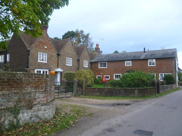
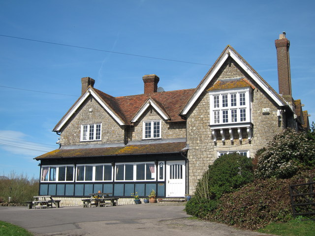
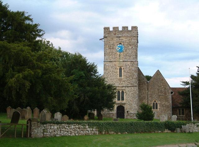
Toll Wood Images
Images are sourced within 2km of 51.214072/0.71068503 or Grid Reference TQ8949. Thanks to Geograph Open Source API. All images are credited.


Toll Wood is located at Grid Ref: TQ8949 (Lat: 51.214072, Lng: 0.71068503)
Administrative County: Kent
District: Maidstone
Police Authority: Kent
What 3 Words
///newlywed.doll.threaded. Near Lenham, Kent
Nearby Locations
Related Wikis
Boughton Malherbe
Boughton Malherbe ( BAW-tən MAL-ər-bee) is a village and civil parish in the Maidstone district of Kent, England, equidistant between Maidstone and Ashford...

Rivers of Kent
Four major rivers drain the county of Kent, England. == River Medway == The catchment area of the Medway covers almost 25% of the county. The detailed...

Kent
Kent is a county in the South East England region, the closest county to continental Europe. It borders Essex across the entire estuary of the River Thames...

Sandway
Sandway is a hamlet about one mile (1.6 km) to the SW of Lenham in the Maidstone district of Kent, England. The population is included in the civil parish...

Platt's Heath
Platts Heath is a hamlet in the civil parish of Lenham, Kent, England. It is also the source of the River Len, which flows in a westerly direction to join...
Lenham Heath
Lenham Heath is a hamlet in Kent situated on the southern edge of the North Downs, halfway between Maidstone and Ashford. grid reference TQ910500. The...
Kiln Wood
Kiln Wood is a 6-hectare (15-acre) nature reserve south of Lenham in Kent. It is managed by Kent Wildlife Trust.This wood is mainly oak, hornbeam and...
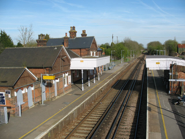
Lenham railway station
Lenham railway station serves Lenham in Kent, England. It is 49 miles 11 chains (79.1 km) down the line from London Victoria. The station, and all trains...
Nearby Amenities
Located within 500m of 51.214072,0.71068503Have you been to Toll Wood?
Leave your review of Toll Wood below (or comments, questions and feedback).