South Horse Fen
Downs, Moorland in Cambridgeshire East Cambridgeshire
England
South Horse Fen
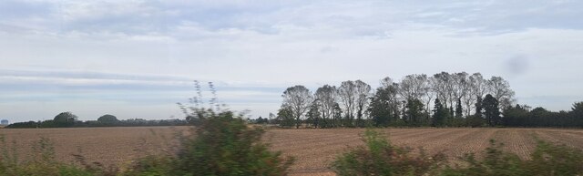
South Horse Fen is a unique natural landscape located in Cambridgeshire, England. Covering an area of approximately 500 acres, it is characterized by its diverse habitats, including downs and moorland. The fen is situated in the southern part of the county, near the village of Horseheath.
The downs of South Horse Fen are rolling hills covered in short grasses and are home to a variety of plant species. These include wildflowers such as harebells, cowslips, and orchids, which add vibrant colors to the landscape during the summer months. The downs provide an ideal habitat for several bird species, including skylarks and meadow pipits, which can be observed soaring in the skies above.
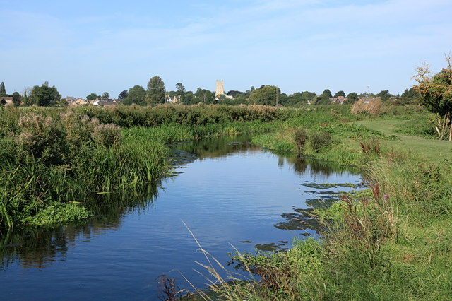
In contrast, the moorland section of South Horse Fen is characterized by its wet and boggy terrain. This area is home to a range of plant species that thrive in such conditions, including heather, cotton grass, and sphagnum moss. The moorland provides an important habitat for various bird species, such as curlews and lapwings, which rely on the wetland environment for nesting and feeding.
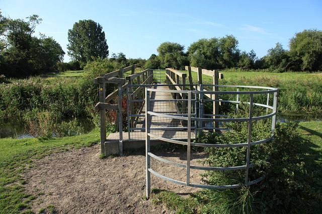
Visitors to South Horse Fen can enjoy scenic walks along designated trails that meander through the downs and moorland. The site also offers opportunities for wildlife observation, with several bird hides strategically placed for visitors to observe the diverse birdlife in the area.
In summary, South Horse Fen is a picturesque natural reserve characterized by its downs and moorland habitats. It offers visitors a chance to experience the beauty of the Cambridgeshire countryside while providing a haven for a wide range of plant and bird species.
If you have any feedback on the listing, please let us know in the comments section below.
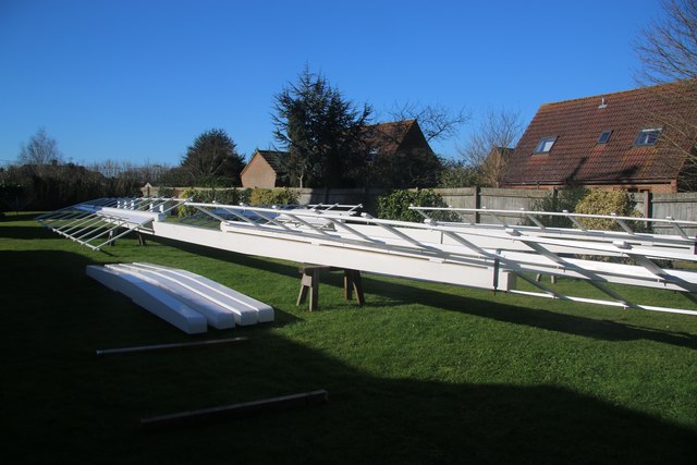
South Horse Fen Images
Images are sourced within 2km of 52.318598/0.33160887 or Grid Reference TL5971. Thanks to Geograph Open Source API. All images are credited.

South Horse Fen is located at Grid Ref: TL5971 (Lat: 52.318598, Lng: 0.33160887)
Administrative County: Cambridgeshire
District: East Cambridgeshire
Police Authority: Cambridgeshire
What 3 Words
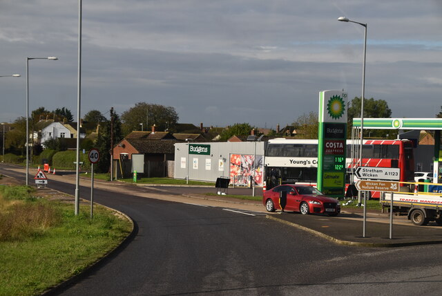
///garages.observers.bluffing. Near Soham, Cambridgeshire
Nearby Locations
Related Wikis

Burwell Tramway
Burwell Tramway was a 2.5 miles (4.0 km) standard gauge industrial tramway which ran from the Ely-Newmarket line, just south of the Soham-Wicken A1123...

Soham Village College
Soham Village College is a secondary school with academy status located in Soham, Cambridgeshire, England. It has around 1,400 pupils, aged 11 to 16. Although...
Soham Abbey
Soham Abbey was an Anglo-Saxon monastery in Soham, which at the time was in the Kingdom of East Anglia. Constructed by St Felix of Burgundy during the...

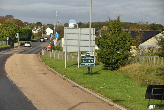
Soham
Soham ( SOH-əm) is a town and civil parish in the district of East Cambridgeshire, in Cambridgeshire, England, just off the A142 between Ely and Newmarket...
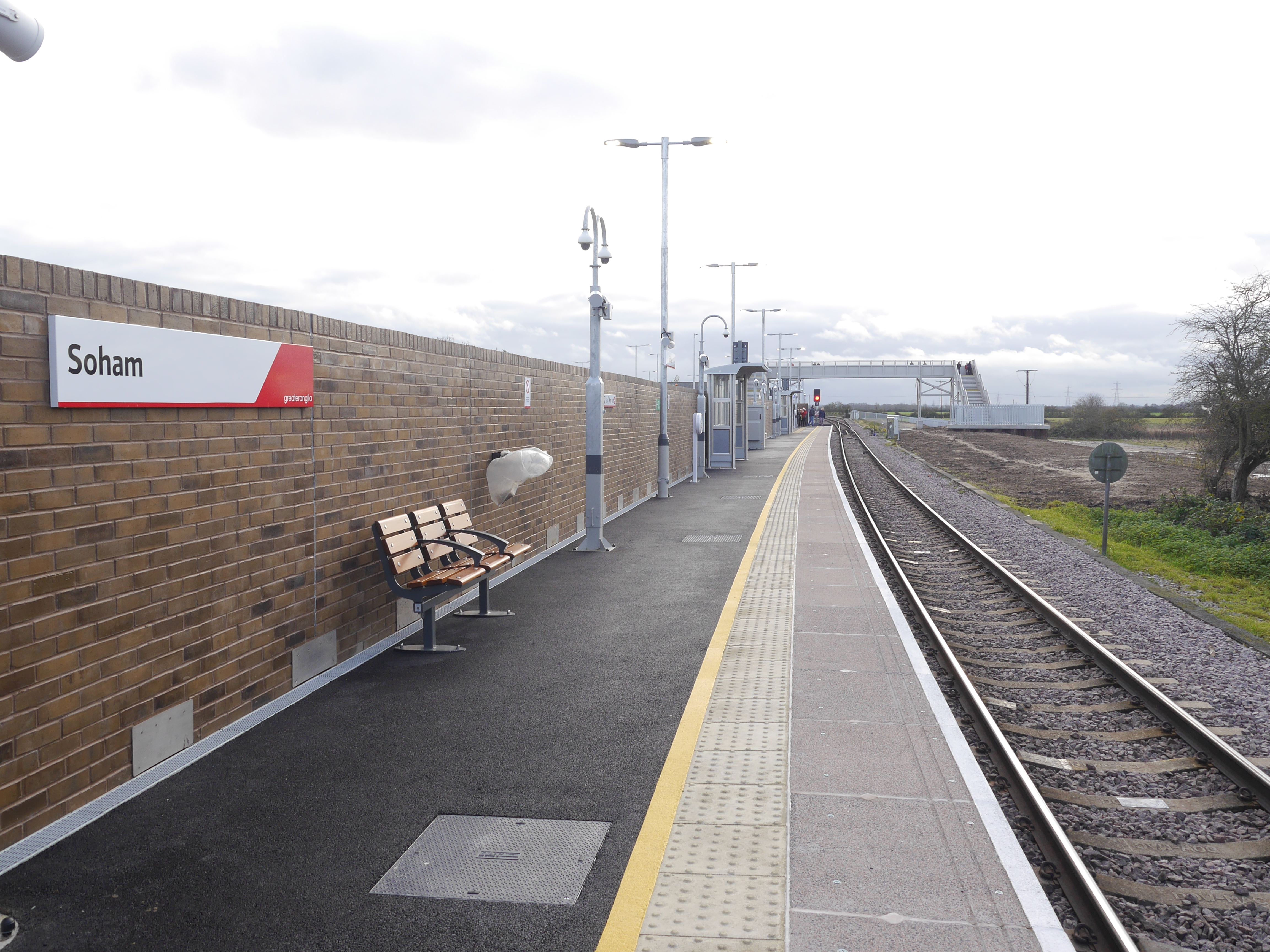
Soham railway station
Soham railway station is a station on the Ipswich–Ely line, serving the town of Soham in Cambridgeshire. The original station operated between 1879 and...

Soham rail disaster
The Soham rail disaster occurred on 2 June 1944, during the Second World War, when a fire developed on the leading wagon of a heavy ammunition train....
Soham Town Rangers F.C.
Soham Town Rangers Football Club is an English football club based in Soham, Cambridgeshire. The club are currently members of the Eastern Counties League...

Wicken, Cambridgeshire
Wicken is a small village on the edge of The Fens near Soham in East Cambridgeshire, ten miles north east of Cambridge and five miles south of Ely. It...
Related Videos

parkrun Tourism Episode 5 - Soham parkrun
A visit to Soham parkrun today for their 14th event. A quirky little parkrun with a mix of tight turns through a college campus, and ...
Honk! by KD Theatre July 2021
Aww we went to see this last night and wow, it was an amazing musical in the most perfect location. We needed something to ...

A Trip to Soham: Britain's NEWEST Station!
On Monday, 13th December 2021, a brand new station opened on Britain's rail network: Soham! The following day I took a trip ...

Soham - Britain's Newest Railway Station
Britain's newest railway station is open - it's Soham in Cambridgeshire on the line between Ipswich and Peterborough. Operated ...
Nearby Amenities
Located within 500m of 52.318598,0.33160887Have you been to South Horse Fen?
Leave your review of South Horse Fen below (or comments, questions and feedback).