Gunners Green
Downs, Moorland in Essex Uttlesford
England
Gunners Green
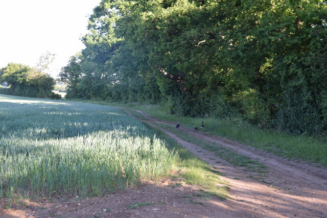
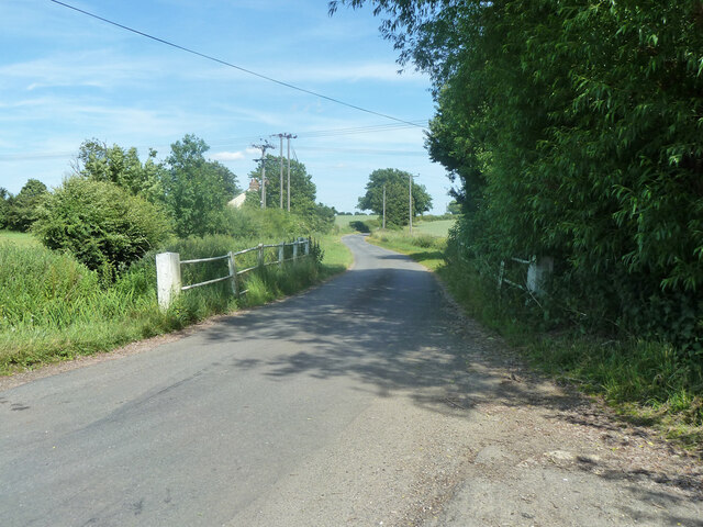
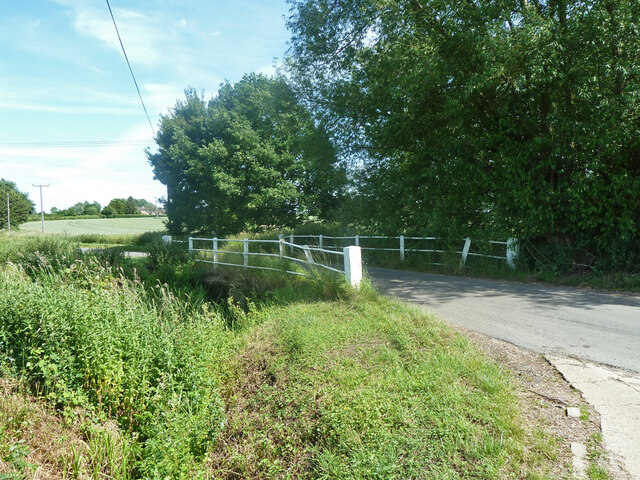
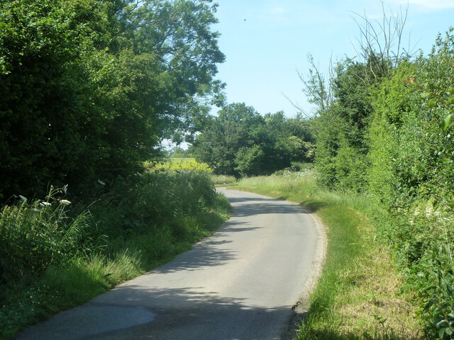
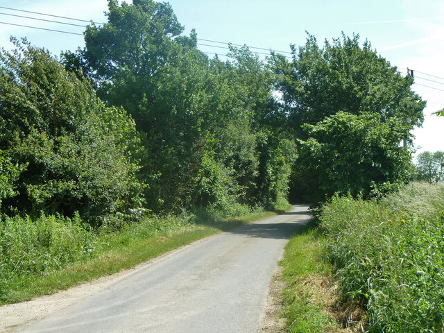
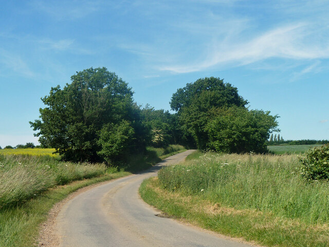
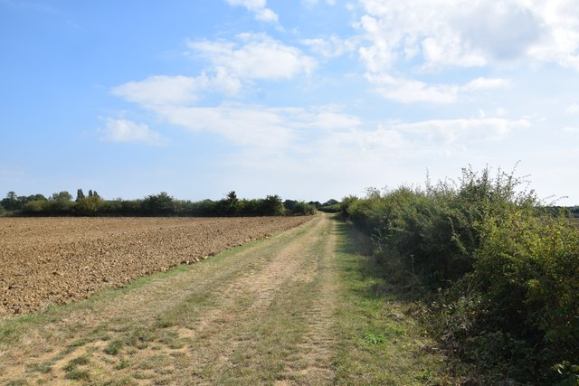
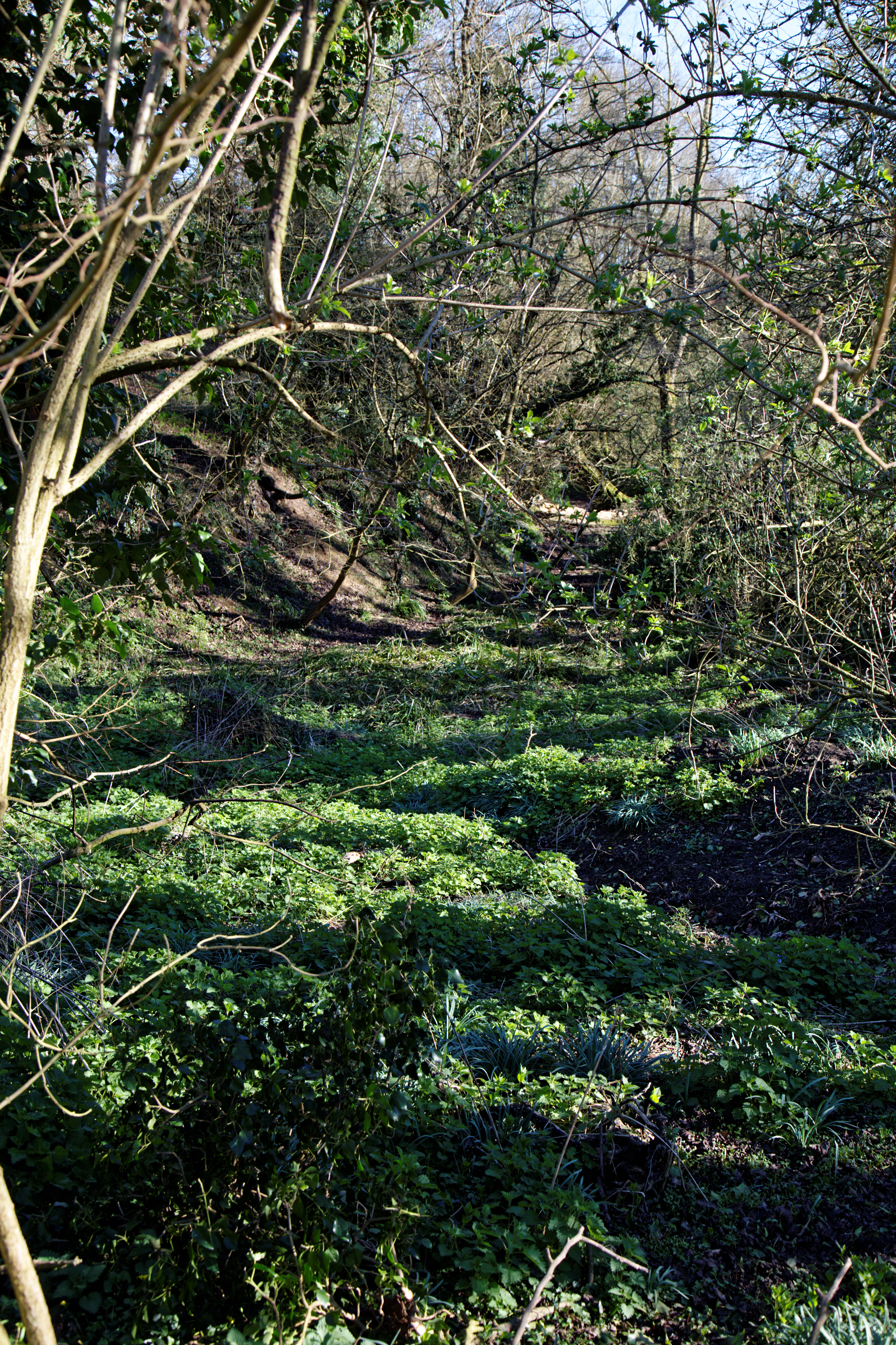
Gunners Green is a small rural area located in Essex, England. Nestled amidst the picturesque landscape of Downs and Moorland, it offers visitors and residents a tranquil and idyllic setting. With its lush green fields, rolling hills, and stunning natural beauty, Gunners Green is a haven for nature enthusiasts and those seeking a peaceful retreat.
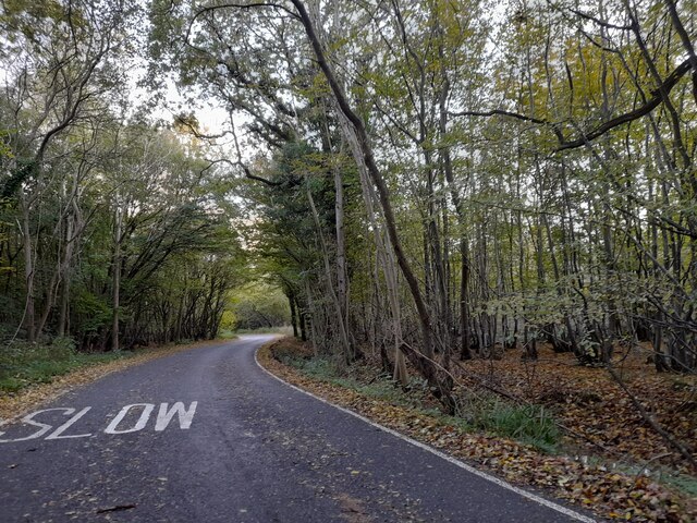
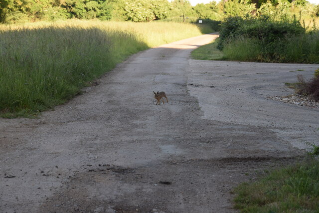
The area is renowned for its diverse wildlife, making it a popular destination for birdwatching and nature walks. Visitors can spot a variety of bird species, including kestrels, pheasants, and owls, as well as other wildlife such as rabbits and deer. The scenic beauty of Gunners Green is further enhanced by the presence of charming country lanes, ancient woodlands, and meandering streams.
Gunners Green is also home to a close-knit community of residents who take pride in maintaining the area's rural charm. The community organizes various events and activities throughout the year, including local fairs, farmers' markets, and traditional festivals. These events offer a glimpse into the rich cultural heritage of the region and provide an opportunity for locals and visitors to come together and celebrate.
While Gunners Green is predominantly rural, it is conveniently located near larger towns and cities, offering easy access to amenities and services. The area is well-connected by road and public transport, making it accessible for both residents and tourists.
In summary, Gunners Green, Essex (Downs, Moorland) is a picturesque and serene rural area that offers a peaceful escape from the hustle and bustle of city life. With its stunning natural surroundings, diverse wildlife, and vibrant community, it is a hidden gem waiting to be explored.
If you have any feedback on the listing, please let us know in the comments section below.
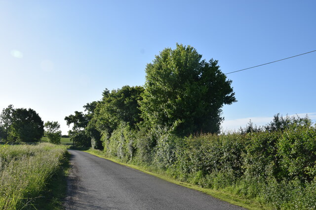
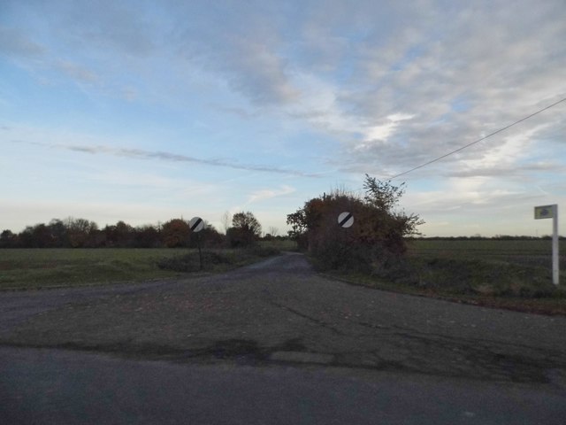
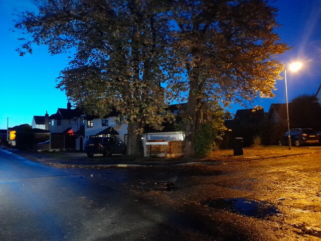
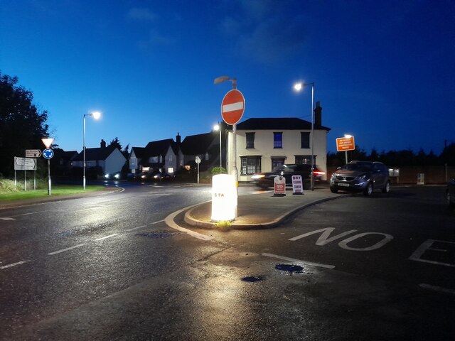
Gunners Green Images
Images are sourced within 2km of 51.812041/0.30636746 or Grid Reference TL5915. Thanks to Geograph Open Source API. All images are credited.
Gunners Green is located at Grid Ref: TL5915 (Lat: 51.812041, Lng: 0.30636746)
Administrative County: Essex
District: Uttlesford
Police Authority: Essex
What 3 Words
///seagulls.highly.website. Near Hatfield Heath, Essex
Nearby Locations
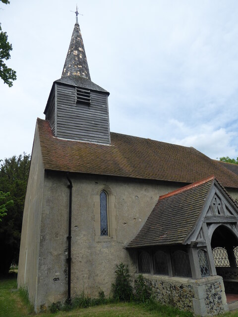
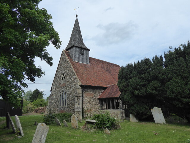
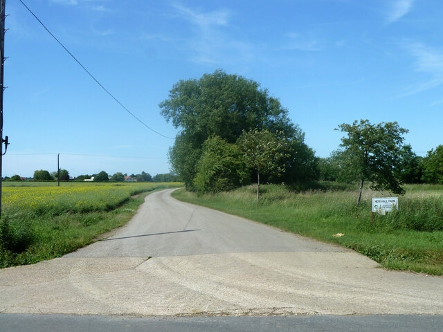
Related Wikis

Aythorpe Roding Windmill
Aythorpe Roding Windmill is a Grade II* listed Post mill at Aythorpe Roding, Essex, England which has been restored to working order. == History == Aythorpe...
Aythorpe Roding
Aythorpe Roding is a village and civil parish in the Uttlesford district of Essex, England. The village is included in the eight hamlets and villages called...

The Rodings
The Rodings are a group of eight villages in the upper part of the River Roding and the west of Essex, England, the largest group in the country to bear...

Leaden Roding
Leaden Roding is a village and civil parish in the Uttlesford district of Essex, England. The village is included in the eight hamlets and villages called...

High Roding
High Roding is a village and civil parish in the Uttlesford district of Essex, England. The village is included in the eight hamlets and villages called...

Bacon End
Bacon End is a hamlet in the civil parish of Great Canfield, and near Great Canfield Castle, in Essex, England. == References == == External links == mid...
Great Canfield Castle
Great Canfield Castle lies in the small village of Great Canfield, 3 miles (5 km) south-west of Great Dunmow in Essex, England: grid reference TL595179...

High Easter
High Easter is a village and a civil parish in the Uttlesford district of Essex, England. The village is 7 miles (11 km) northwest from the city of and...
Related Videos

The Pirate Trail !
A great day out at Cammas Hall Farm in Essex and their Pirate Trail. #cammashallfarm #piratetrail #pirates #easterholidays ...

Fruit Picking | PYO | Farm Visit | Strawberry Picking | Cammas Hall Farm| Family Summer Day Trip UK
fruitpicking #strawberrypicking #daysoutwithkids In this video we are taking you to a Pick-your-own (also called U-Pick or PYO) ...
Cammas Hall 2022 Halloween
halloween2022 #essex 25/10/2022.

Strawberry and Raspberry Picking in UK | Cammas Hall Farm
Hello buddies!!! In this video, we have captured our trip to Cammas Hall Farm - strawberry and raspberry farm. Address: Needham ...
Nearby Amenities
Located within 500m of 51.812041,0.30636746Have you been to Gunners Green?
Leave your review of Gunners Green below (or comments, questions and feedback).