Ash Closes
Downs, Moorland in Cambridgeshire East Cambridgeshire
England
Ash Closes
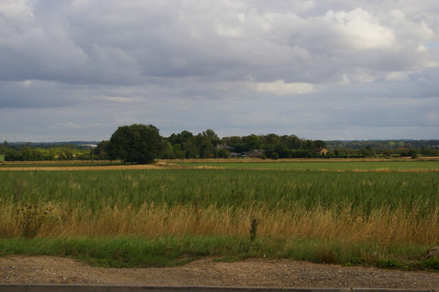
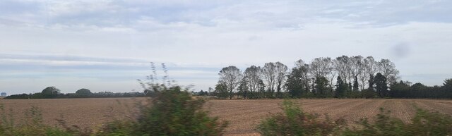
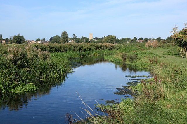
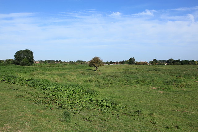
Ash Closes is a picturesque area located in Cambridgeshire, England. Nestled between Downs and Moorland, it is known for its natural beauty and tranquil atmosphere. The region is characterized by its rolling hills, lush green meadows, and scattered patches of dense woodland.
The landscape of Ash Closes showcases a rich diversity of flora and fauna, making it a haven for nature enthusiasts. The area is home to a wide variety of bird species, including skylarks, lapwings, and kestrels, which can often be seen soaring above the open fields. The woodlands are inhabited by an array of wildlife, such as deer, foxes, and badgers.
The meandering footpaths and bridleways that crisscross through Ash Closes offer visitors the opportunity to explore the area's scenic beauty. These paths lead to breathtaking viewpoints, where one can admire the panoramic vistas of the surrounding countryside.
Ash Closes is also known for its historical significance. It is believed that the area has been inhabited since prehistoric times, with evidence of ancient settlements and burial mounds found in the vicinity. Archaeological excavations have unearthed artifacts and remains that provide insights into the region's past.
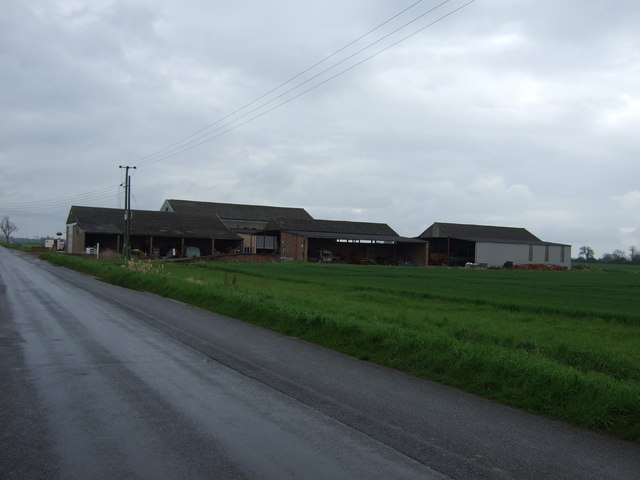
In addition to its natural and historical attractions, Ash Closes offers a range of recreational activities for visitors. These include hiking, cycling, horse riding, and picnicking. The area is well-maintained and provides ample parking and facilities for visitors to enjoy their day out in the countryside.
Overall, Ash Closes, Cambridgeshire is a treasured gem that showcases the beauty of the English countryside. With its stunning landscapes, diverse wildlife, and rich history, it is a must-visit destination for nature lovers and history enthusiasts alike.
If you have any feedback on the listing, please let us know in the comments section below.
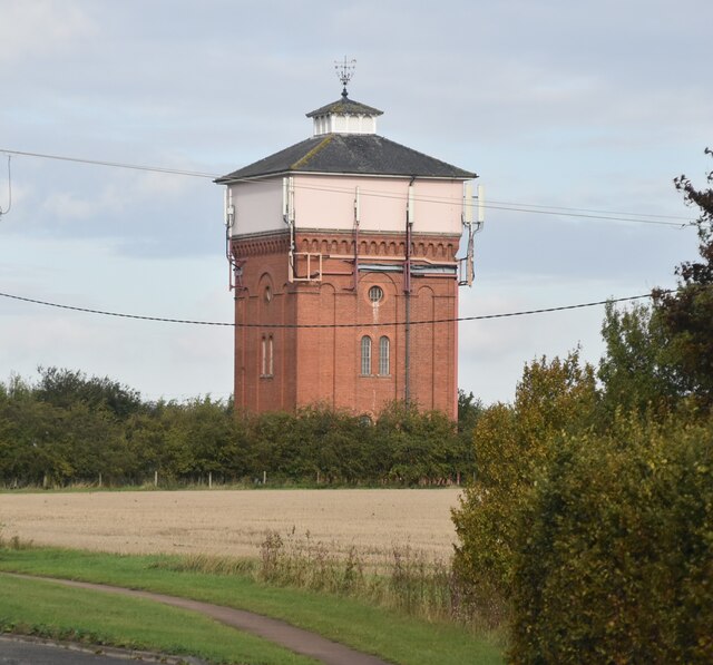
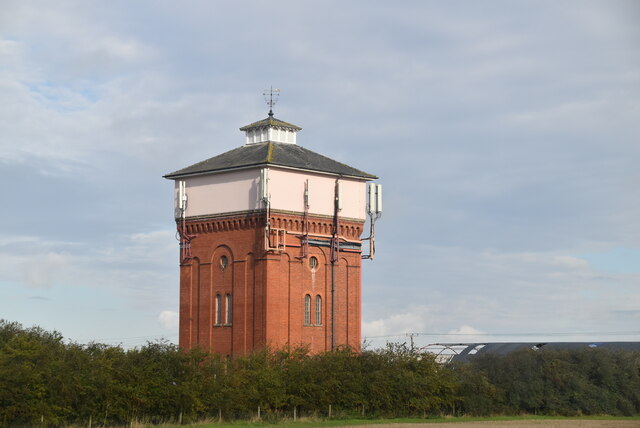
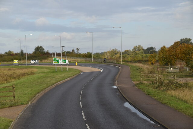
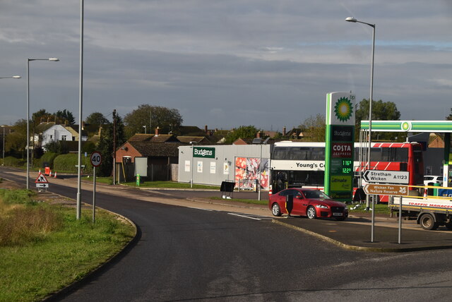
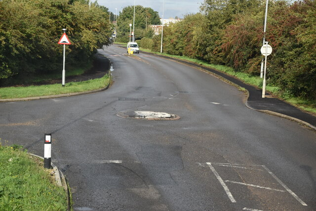
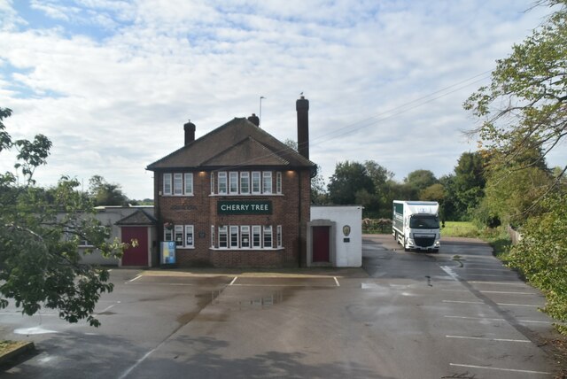
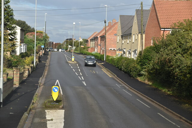
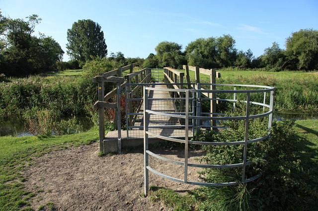
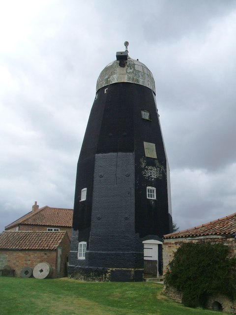
Ash Closes Images
Images are sourced within 2km of 52.321172/0.34104778 or Grid Reference TL5971. Thanks to Geograph Open Source API. All images are credited.
Ash Closes is located at Grid Ref: TL5971 (Lat: 52.321172, Lng: 0.34104778)
Administrative County: Cambridgeshire
District: East Cambridgeshire
Police Authority: Cambridgeshire
What 3 Words
///method.farmed.glossed. Near Soham, Cambridgeshire
Nearby Locations
Related Wikis

Soham Village College
Soham Village College is a secondary school with academy status located in Soham, Cambridgeshire, England. It has around 1,400 pupils, aged 11 to 16. Although...

Burwell Tramway
Burwell Tramway was a 2.5 miles (4.0 km) standard gauge industrial tramway which ran from the Ely-Newmarket line, just south of the Soham-Wicken A1123...
Soham Abbey
Soham Abbey was an Anglo-Saxon monastery in Soham, which at the time was in the Kingdom of East Anglia. Constructed by St Felix of Burgundy during the...

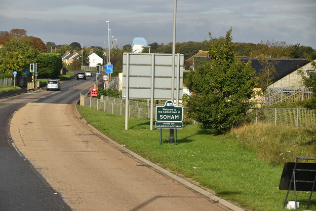
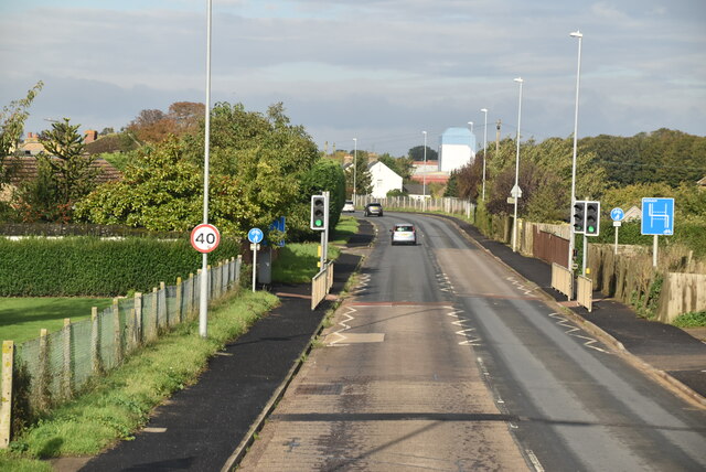
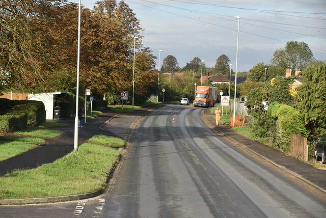
Soham
Soham ( SOH-əm) is a town and civil parish in the district of East Cambridgeshire, in Cambridgeshire, England, just off the A142 between Ely and Newmarket...

Soham Wet Horse Fen
Soham Wet Horse Fen is a 33.8-hectare (84-acre) biological Site of Special Scientific Interest east of Soham in Cambridgeshire. A 3.6-hectare (8.9-acre...
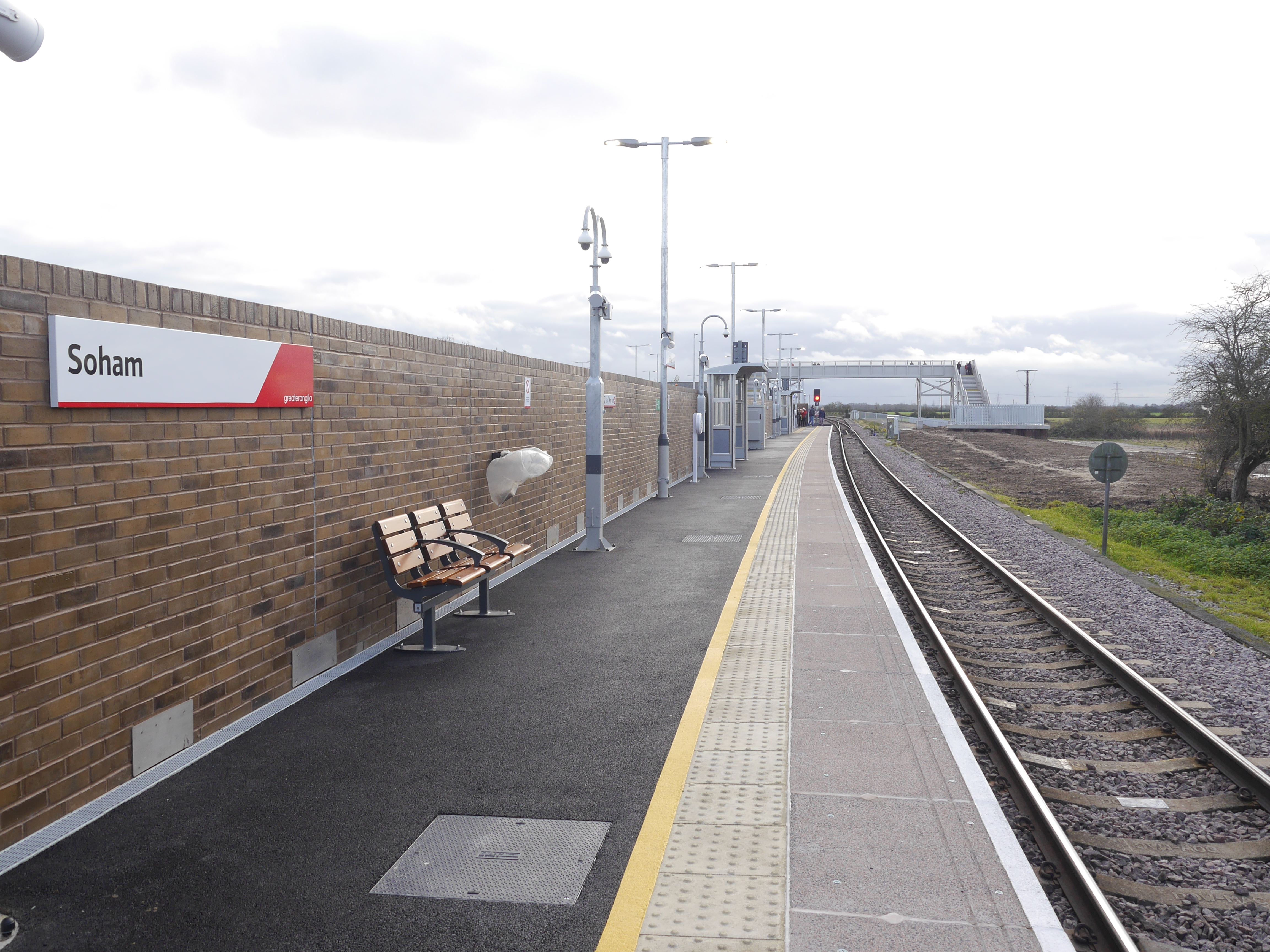
Soham railway station
Soham railway station is a station on the Ipswich–Ely line, serving the town of Soham in Cambridgeshire. The original station operated between 1879 and...

Soham rail disaster
The Soham rail disaster occurred on 2 June 1944, during the Second World War, when a fire developed on the leading wagon of a heavy ammunition train....
Soham Town Rangers F.C.
Soham Town Rangers Football Club is an English football club based in Soham, Cambridgeshire. The club are currently members of the Eastern Counties League...
Nearby Amenities
Located within 500m of 52.321172,0.34104778Have you been to Ash Closes?
Leave your review of Ash Closes below (or comments, questions and feedback).