The Wilderness

Downs, Moorland in Kent Tonbridge and Malling

England

The Wilderness

Fairlawne Estate: looking across parkland to Plaxtol church
Fairlawne Estate: looking across parkland to Plaxtol church Credit: Christopher Hilton

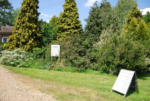
The Wilderness in Kent, England, is a vast and breathtaking expanse of natural beauty, encompassing both downs and moorland. Located in the southeastern part of the county, this area is renowned for its diverse landscape and abundant wildlife.

The downs, characterized by rolling hills and open grassland, offer stunning panoramic views of the surrounding countryside. This expansive terrain is dotted with vibrant wildflowers and teeming with a wide variety of bird species. Walking along the gentle slopes, visitors can enjoy the tranquility of the countryside while taking in the awe-inspiring vistas.

Moving towards the moorland, one enters a different world altogether. This wilder and more rugged terrain is characterized by heather-clad slopes, interspersed with patches of dense woodland. The moorland is home to a wide range of wildlife, including deer, rabbits, and various species of birds of prey. The air is filled with the sweet scent of heather, creating a truly immersive experience.

The Wilderness is a haven for outdoor enthusiasts, with a network of well-maintained trails and footpaths that allow visitors to explore the area at their own pace. Hiking, cycling, and horseback riding are popular activities, offering an opportunity to fully immerse oneself in the natural wonders of the landscape.

For those seeking a peaceful retreat or a chance to reconnect with nature, The Wilderness in Kent is a haven waiting to be discovered. With its stunning views, diverse wildlife, and wide range of outdoor activities, it is a place where one can truly experience the beauty and tranquility of the English countryside.

If you have any feedback on the listing, please let us know in the comments section below.

The Wilderness Images

Images are sourced within 2km of 51.257795/0.28593913 or Grid Reference TQ5953. Thanks to Geograph Open Source API. All images are credited.
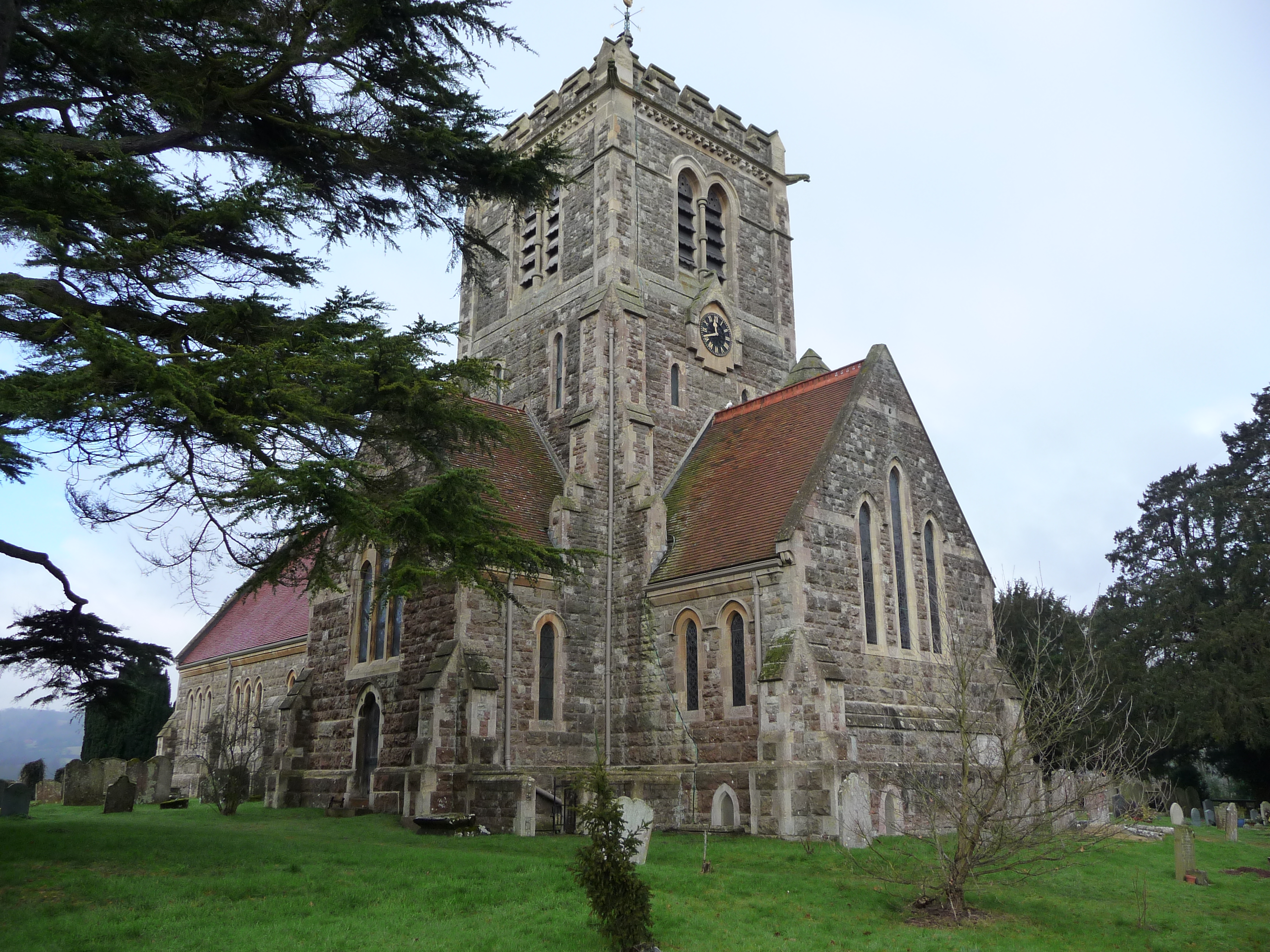
Fairlawne Estate: looking across parkland to Plaxtol church
The Street, Plaxtol Plaxtol a small village north of Tonbridge. The name means "play area". Services include a church, shop, school, two pubs and a cricket club. Just outside the village is Fairlawne House and much of the area around is part of the Fairlawne Estate.
Wikipedia: <span class="nowrap"><a title="http://en.wikipedia.org/wiki/Plaxtol" rel="nofollow ugc noopener" href="http://en.wikipedia.org/wiki/Plaxtol">Link</a><img style="margin-left:2px;" alt="External link" title="External link - shift click to open in new window" src="https://s1.geograph.org.uk/img/external.png" width="10" height="10"/></span> 
Website: <span class="nowrap"><a title="http://www.plaxtol.com/village/index.php" rel="nofollow ugc noopener" href="http://www.plaxtol.com/village/index.php">Link</a><img style="margin-left:2px;" alt="External link" title="External link - shift click to open in new window" src="https://s1.geograph.org.uk/img/external.png" width="10" height="10"/></span>
The Street, Plaxtol
Plaxtol a small village north of Tonbridge. The name means "play area". Services include a church, shop, school, two pubs and a cricket club. Just outside the village is Fairlawne House and much of the area around is part of the Fairlawne Estate. Wikipedia: LinkExternal link Website: LinkExternal link
St Hildas, Plaxtol
St Hildas, Plaxtol
Lane junction, Plaxtol Spoute
Plaxtol village sign King George VI recommended that the old custom of identifying villages with carved or painted name signs could be revived. In 1920, Biddenden had won a Daily Mail competition for a sign featuring the two Biddenden Maids.
More villages followed, especially in 1953, the Coronation of Queen Elizabeth II. More signs have been put up due to the Millennium. This has meant half of the county villages are identified.]
See also <a title="https://www.geograph.org.uk/article/Kent-Village-Signs" href="https://www.geograph.org.uk/article/Kent-Village-Signs">Link</a> , an article on Kent Village Signs
Plaxtol village sign
King George VI recommended that the old custom of identifying villages with carved or painted name signs could be revived. In 1920, Biddenden had won a Daily Mail competition for a sign featuring the two Biddenden Maids. More villages followed, especially in 1953, the Coronation of Queen Elizabeth II. More signs have been put up due to the Millennium. This has meant half of the county villages are identified.] See also Link , an article on Kent Village Signs
Communications centre, Plaxtol Spoute Telephones, postal and parish notices - Multimedia!!
Communications centre, Plaxtol Spoute
Telephones, postal and parish notices - Multimedia!!
Plaxtol Nursery Plaxtol a small village north of Tonbridge. The name means "play area". Services include a church, shop, school, two pubs and a cricket club. Just outside the village is Fairlawne House and much of the area around is part of the Fairlawne Estate.
Wikipedia: <span class="nowrap"><a title="http://en.wikipedia.org/wiki/Plaxtol" rel="nofollow ugc noopener" href="http://en.wikipedia.org/wiki/Plaxtol">Link</a><img style="margin-left:2px;" alt="External link" title="External link - shift click to open in new window" src="https://s1.geograph.org.uk/img/external.png" width="10" height="10"/></span> 
Website: <span class="nowrap"><a title="http://www.plaxtol.com/village/index.php" rel="nofollow ugc noopener" href="http://www.plaxtol.com/village/index.php">Link</a><img style="margin-left:2px;" alt="External link" title="External link - shift click to open in new window" src="https://s1.geograph.org.uk/img/external.png" width="10" height="10"/></span>
Plaxtol Nursery
Plaxtol a small village north of Tonbridge. The name means "play area". Services include a church, shop, school, two pubs and a cricket club. Just outside the village is Fairlawne House and much of the area around is part of the Fairlawne Estate. Wikipedia: LinkExternal link Website: LinkExternal link
Long Mill Lane, Plaxtol Spoute
Brook Lane
Brook Lane
Brook Lane, Plaxtol Spoute
Brook Lane
Brook Lane
Pylon by Brook Lane
Pylon by Brook Lane
River Bourne The River Bourne rises on the Greensand Ridge near Oldbury Hill and flows generally south east for 10 miles to join the River Medway at East Peckham.
Wikipedia: <span class="nowrap"><a title="http://en.wikipedia.org/wiki/River_Bourne,_Kent" rel="nofollow ugc noopener" href="http://en.wikipedia.org/wiki/River_Bourne,_Kent">Link</a><img style="margin-left:2px;" alt="External link" title="External link - shift click to open in new window" src="https://s1.geograph.org.uk/img/external.png" width="10" height="10"/></span>
River Bourne
The River Bourne rises on the Greensand Ridge near Oldbury Hill and flows generally south east for 10 miles to join the River Medway at East Peckham. Wikipedia: LinkExternal link
Footpath off Brook Lane
Brook Farm Oast Single round kiln oast house.
Brook Farm Oast
Single round kiln oast house.
Brook Farm Oast Single round kiln oast house.
Brook Farm Oast
Single round kiln oast house.
Brook Farm
Brook Farm
Brook Farm Oast Single round kiln oast house.
Brook Farm Oast
Single round kiln oast house.
Show me another place!

The Wilderness is located at Grid Ref: TQ5953 (Lat: 51.257795, Lng: 0.28593913)

Administrative County: Kent

District: Tonbridge and Malling

Police Authority: Kent

What 3 Words

///twice.pardon.cult. Near Borough Green, Kent

Related Wikis

Fairlawne

Fairlawne is a Grade I listed house in Shipbourne, Kent, England, about 30 miles southeast of central London. The Fairlawne Estate is extensive and stretches...

Plaxtol

Plaxtol is a village and civil parish in the borough of Tonbridge and Malling in Kent, England. The village is located around 5 miles (8 km) north of Tonbridge...

Yopps Green

Yopps Green is a hamlet in the Tonbridge and Malling District, in the county of Kent, England. It is part of the small village of Plaxtol. == Location... ==

Shipbourne

Shipbourne ( SHIB-ərn) is a village and civil parish situated between the towns of Sevenoaks and Tonbridge, in the borough of Tonbridge and Malling in...

Nearby Amenities

Located within 500m of 51.257795,0.28593913
Barrier: stile
Lat/Long: 51.2595365/0.2907103
Man Made: mast
Tower Type: communication
Lat/Long: 51.2601755/0.2885369
Colour: blue
Marker: post
Material: concrete
Utility: gas
Lat/Long: 51.2596387/0.2906302
Colour: red and white
Marker: aerial
Material: plastic
Utility: gas
Lat/Long: 51.2596514/0.290372
The data included in this document is from www.openstreetmap.org. The data is made available under ODbL.

Have you been to The Wilderness?

Leave your review of The Wilderness below (or comments, questions and feedback).