Brumsted Common

Downs, Moorland in Essex Uttlesford

England

Brumsted Common

Road junction between Brickkiln Spring and Canfield Hart These are each the names of woods nearby. The B183 runs across ahead in the shot.
Road junction between Brickkiln Spring and Canfield Hart Credit: Trevor Harris

Brumsted Common is a picturesque area located in Essex, England. Situated on the edge of the county, it encompasses a diverse landscape of downs and moorland. Spanning approximately 500 acres, it offers a tranquil escape for nature enthusiasts and outdoor enthusiasts alike.

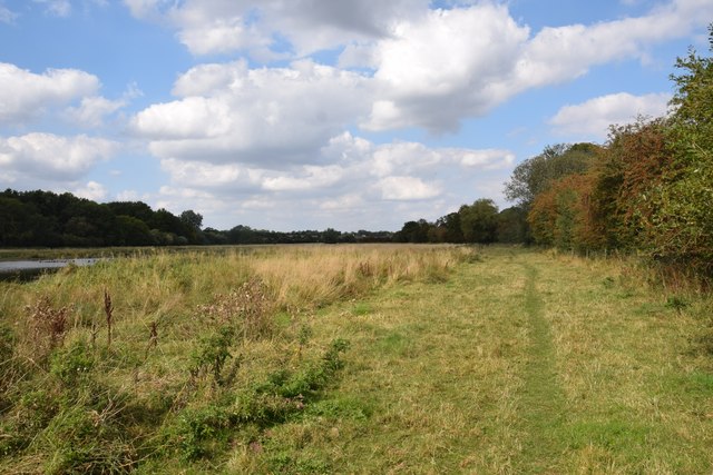
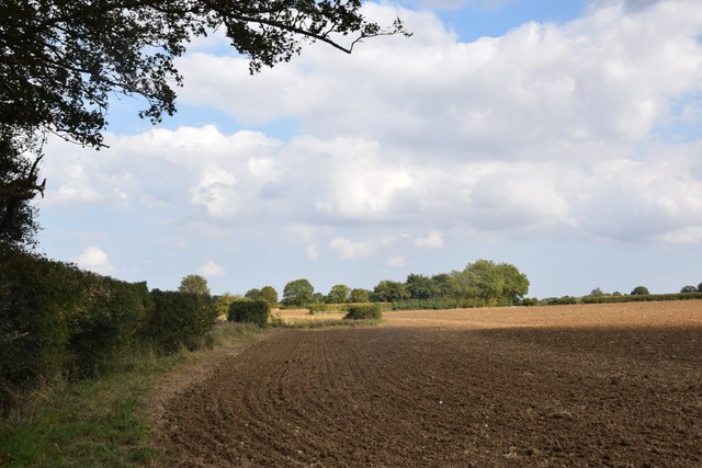
The common is characterized by its rolling hills, vast open spaces, and stunning panoramic views. Its rich and varied flora and fauna make it an important ecological site, attracting a range of bird species, including skylarks and lapwings. The moorland areas are home to several species of wildflowers, adding bursts of color during spring and summer.

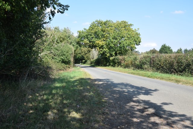
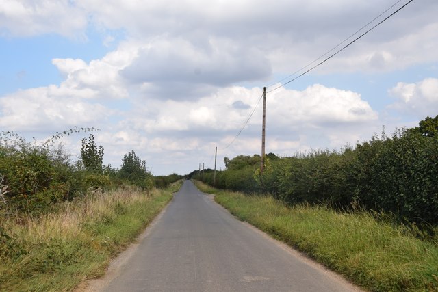
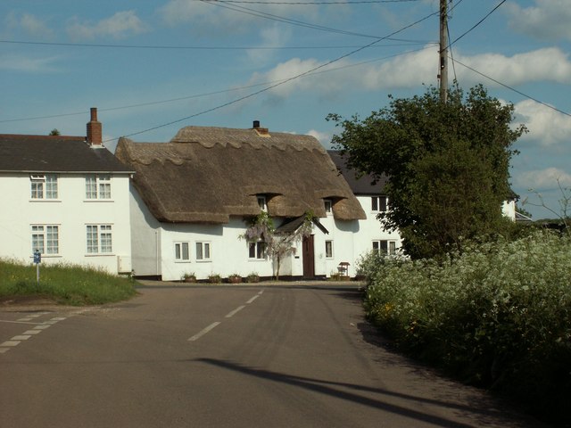
Brumsted Common is also known for its network of footpaths and bridleways, making it a popular destination for walkers, hikers, and horse riders. The well-maintained trails allow visitors to explore the area's natural beauty, providing access to hidden valleys, ancient woodlands, and charming villages.

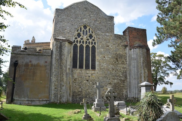
The common's historical significance is evident in the presence of archaeological remains, such as Bronze Age barrows and Iron Age hill forts. These remnants offer a glimpse into the area's past, providing an intriguing backdrop for history enthusiasts.

In addition to its natural and historical attractions, Brumsted Common offers various recreational facilities for visitors. These include picnic areas, play areas for children, and designated spots for camping and barbecues.

Overall, Brumsted Common in Essex is a stunning and diverse landscape, offering a peaceful retreat for those seeking to immerse themselves in nature, explore its historical heritage, or simply enjoy outdoor activities.

If you have any feedback on the listing, please let us know in the comments section below.

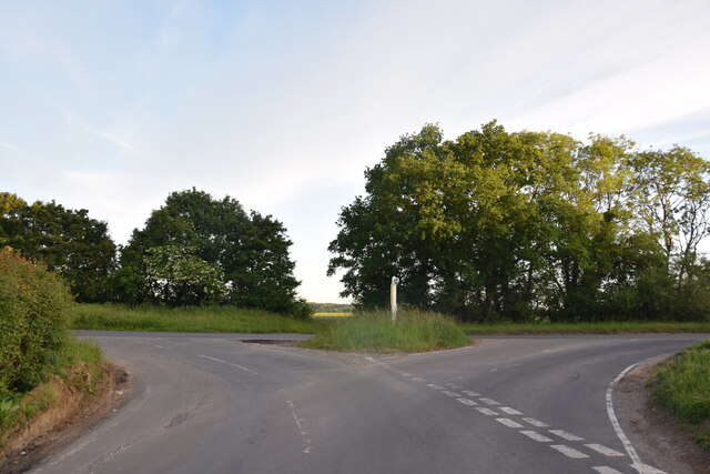
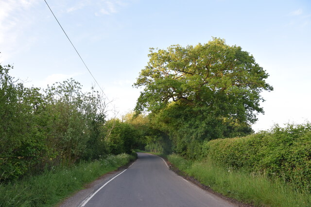
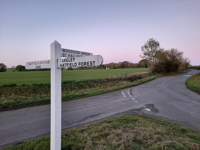
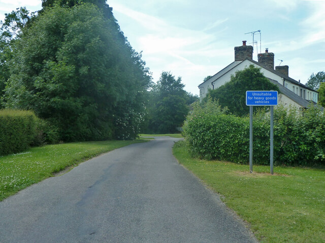
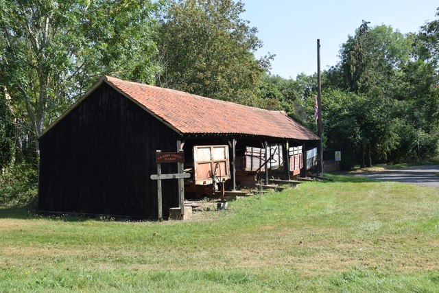
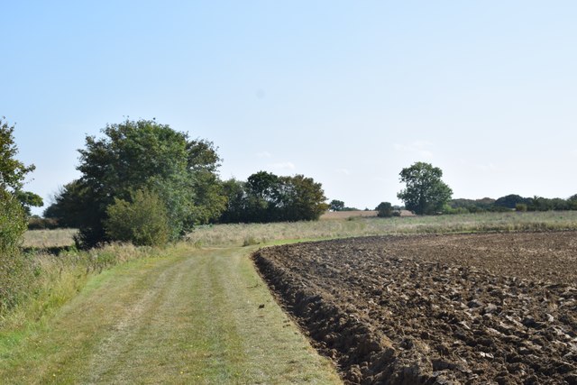
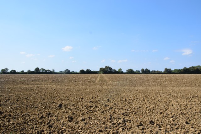
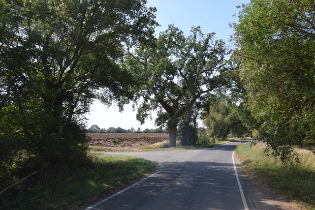
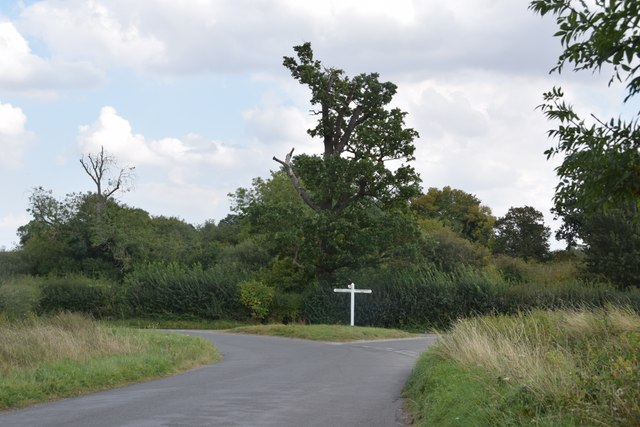
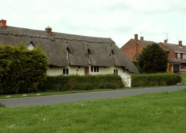
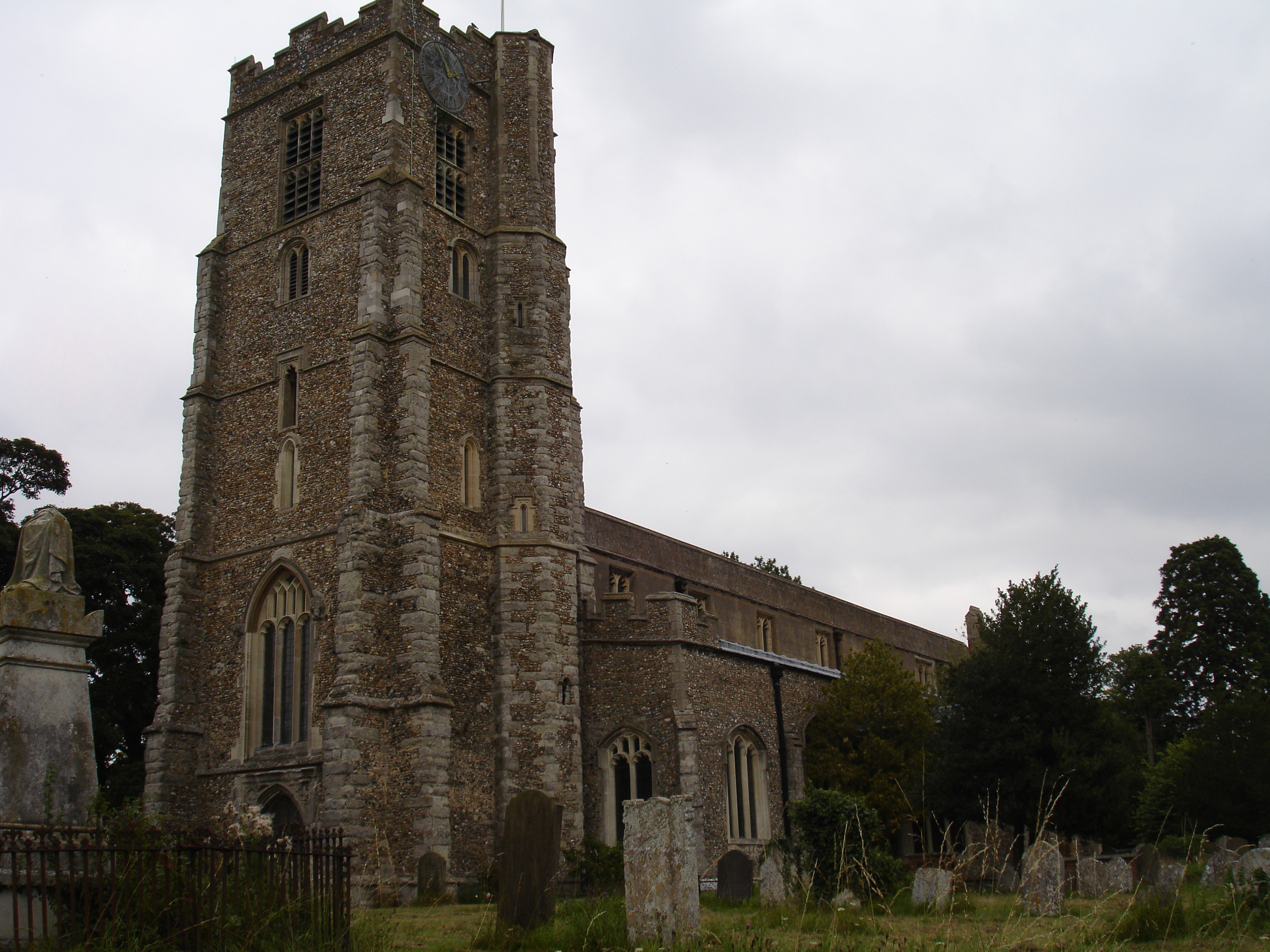
Brumsted Common Images

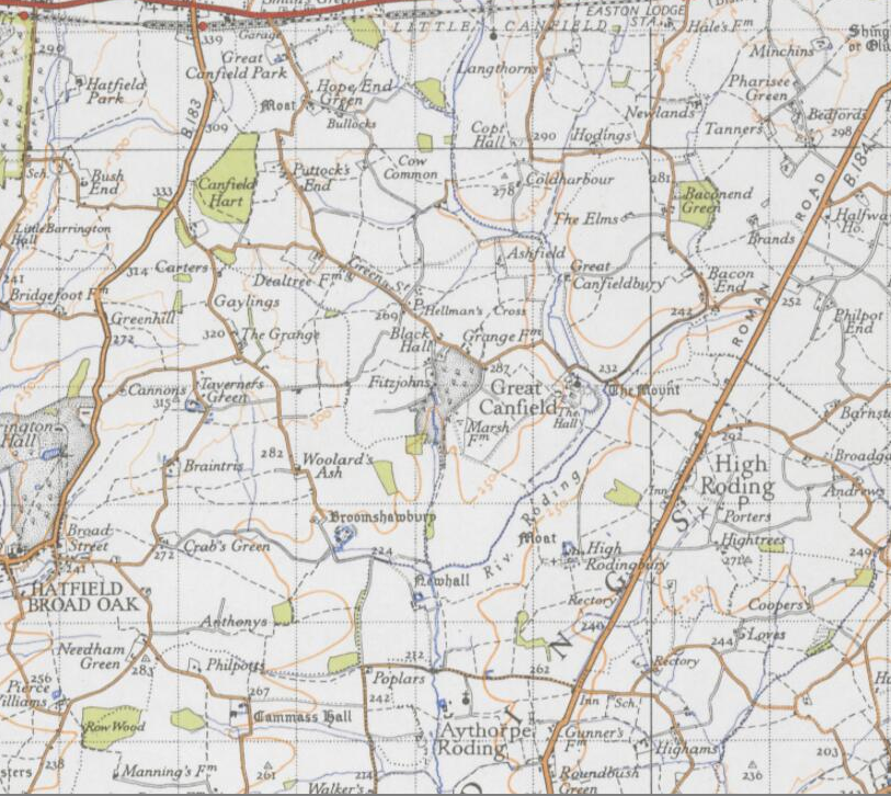
Images are sourced within 2km of 51.842864/0.25605535 or Grid Reference TL5518. Thanks to Geograph Open Source API. All images are credited.

Road junction between Brickkiln Spring and Canfield Hart These are each the names of woods nearby. The B183 runs across ahead in the shot.
Road junction between Brickkiln Spring and Canfield Hart
These are each the names of woods nearby. The B183 runs across ahead in the shot.
Lane to Great Canfield
Junction and Sign The meeting of Hatfield Forest Road/ Wood Row/ Greenhill.
Junction and Sign
The meeting of Hatfield Forest Road/ Wood Row/ Greenhill.
Cannons Lane, Hatfield Broad Oak The Broad Street Green part of the village.
Cannons Lane, Hatfield Broad Oak
The Broad Street Green part of the village.
Shed with trailers  One of the farm buildings at Crabbs Green Farm.
Shed with trailers
One of the farm buildings at Crabbs Green Farm.
Field and farm track at Crabbs Green Farm The field has been freshly ploughed and a harrow is working nearby.
Field and farm track at Crabbs Green Farm
The field has been freshly ploughed and a harrow is working nearby.
Field north of Crabbs Green Farm Taken from Crabbs Green Lane looking west. The tractor track dead ahead shows the line of the public footpath crossing this field.
Field north of Crabbs Green Farm
Taken from Crabbs Green Lane looking west. The tractor track dead ahead shows the line of the public footpath crossing this field.
Road junction at Taverners Green With the lane called Crabbs Green on the left ahead.
Road junction at Taverners Green
With the lane called Crabbs Green on the left ahead.
On the lane to Broomshawbury Looking north here with the fingerpost for Boxley Lane just visible in the centre ahead.
On the lane to Broomshawbury
Looking north here with the fingerpost for Boxley Lane just visible in the centre ahead.
Footpath through The Marsh This area north of Hatfield Broad Oak, formerly apparently common grazing, is a good wildlife habitat. Though there are some areas of standing water (one can be seen to the right here), most of the marshy area was dry today - as was Pincey Brook, whose course the path runs beside.
Footpath through The Marsh
This area north of Hatfield Broad Oak, formerly apparently common grazing, is a good wildlife habitat. Though there are some areas of standing water (one can be seen to the right here), most of the marshy area was dry today - as was Pincey Brook, whose course the path runs beside.
Pillars of an ecclesiastical dispute Or maybe not. This is the east end of St Mary the Virgin. The pillars here are the remaining two of four pillars which supported the central tower of the Benedictine Priory church - which until the Dissolution was twice as long as the present church. So much is not in dispute; however notes in the church say the church was divided by this east wall following violent disputes between the parish and its priest, and the monks - who the parishioners accused of not maintaining the then-shared. This was supposedly carried out on the orders of the king as a solution to the dispute. I can't find any reference to these events on-line, in Victoria County History etc although other disputes are recorded concerning the priory. I suspect that maybe the east wall was constructed in 1536 when the priory was dissolved in order to reduce the church to more manageable proportions - though I stand to be corrected.
Pillars of an ecclesiastical dispute
Or maybe not. This is the east end of St Mary the Virgin. The pillars here are the remaining two of four pillars which supported the central tower of the Benedictine Priory church - which until the Dissolution was twice as long as the present church. So much is not in dispute; however notes in the church say the church was divided by this east wall following violent disputes between the parish and its priest, and the monks - who the parishioners accused of not maintaining the then-shared. This was supposedly carried out on the orders of the king as a solution to the dispute. I can't find any reference to these events on-line, in Victoria County History etc although other disputes are recorded concerning the priory. I suspect that maybe the east wall was constructed in 1536 when the priory was dissolved in order to reduce the church to more manageable proportions - though I stand to be corrected.
Straight road near Forest Farm This very straight section is about a kilometre in length and may mark the route of a Roman road heading for Takeley Street (several other straight sections occur between here and Takeley Street). "Street" in a place name often denotes a settlement on a Roman road and indeed Takeley Street is on Stane Street running east to west. I think it's not too fanciful to see this as a Roman route to Stane Street.
Straight road near Forest Farm
This very straight section is about a kilometre in length and may mark the route of a Roman road heading for Takeley Street (several other straight sections occur between here and Takeley Street). "Street" in a place name often denotes a settlement on a Roman road and indeed Takeley Street is on Stane Street running east to west. I think it's not too fanciful to see this as a Roman route to Stane Street.
Finger post at junction near Bridgefoot Farm Directions shown are left to Takeley and Hatfield Forest, right to Hatfield Broad Oak, and towards the photographer, to Woodside Green and Hallingbury. For a close-up see photo from contributor David Bremner <a href="https://www.geograph.org.uk/photo/7329457">TL5418 : Junction and Sign</a>
Finger post at junction near Bridgefoot Farm
Directions shown are left to Takeley and Hatfield Forest, right to Hatfield Broad Oak, and towards the photographer, to Woodside Green and Hallingbury. For a close-up see photo from contributor David Bremner TL5418 : Junction and Sign
Little Barrington Hall Farm
Field south of Greenhill Is beside, or was part of Brumsted Common.
Field south of Greenhill
Is beside, or was part of Brumsted Common.
Hatfield Forest. Now a popular park cared for by the National Trust.
Hatfield Forest.
Now a popular park cared for by the National Trust.
Thatched cottages, Hatfield Broad Oak, Essex
Cottages at Greenhill, near Hatfield Broad Oak, Essex
Show me another place!

Brumsted Common is located at Grid Ref: TL5518 (Lat: 51.842864, Lng: 0.25605535)

Administrative County: Essex

District: Uttlesford

Police Authority: Essex

What 3 Words

///scouts.utensil.stated. Near Takeley, Essex

Related Wikis

Nearby Amenities

Located within 500m of 51.842864,0.25605535
Collier Street
Naptan AtcoCode: 150020013001
Naptan Bearing: N
Naptan BusStopType: CUS
Naptan CommonName: Greenhill
Naptan Crossing: Collier Street
Naptan Indicator: N-bound
Naptan Landmark: Greenhill
Naptan NaptanCode: esxdgjdt
Naptan Street: Dunmow Road
Naptan Verified: no
Public Transport: platform
Source: naptan_import
Lat/Long: 51.8446152/0.2536623
Collier Street
Naptan AtcoCode: 1500200130Y1
Naptan Bearing: S
Naptan BusStopType: CUS
Naptan CommonName: Greenhill
Naptan Crossing: Collier Street
Naptan Indicator: S-bound
Naptan Landmark: Greenhill
Naptan NaptanCode: esxgtamp
Naptan Street: Dunmow Road
Naptan Verified: no
Public Transport: platform
Source: naptan_import
Lat/Long: 51.8446217/0.2537933
Broadfield Common
Place: locality
Lat/Long: 51.8433133/0.2518389
Colour: red and white
Marker: aerial
Utility: gas
Lat/Long: 51.8417306/0.2543326
Colour: yellow
Marker: post
Utility: gas
Lat/Long: 51.841734/0.2541794
Greenhill
Place: locality
Lat/Long: 51.8443971/0.2537841
Brumsted Common
Place: locality
Lat/Long: 51.8428627/0.2560586
The data included in this document is from www.openstreetmap.org. The data is made available under ODbL.

Have you been to Brumsted Common?

Leave your review of Brumsted Common below (or comments, questions and feedback).