West Newland Field
Downs, Moorland in Norfolk King's Lynn and West Norfolk
England
West Newland Field
West Newland Field is a small village located in the county of Norfolk, in the East of England. Situated amidst the beautiful Norfolk Downs and Moorland, this picturesque area boasts a tranquil and idyllic setting that attracts both locals and tourists alike.
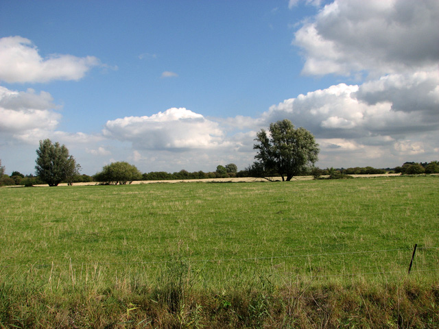
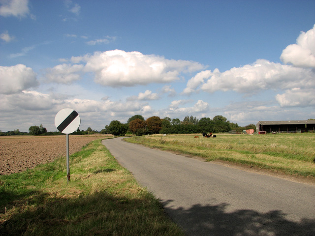
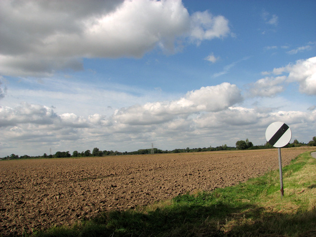
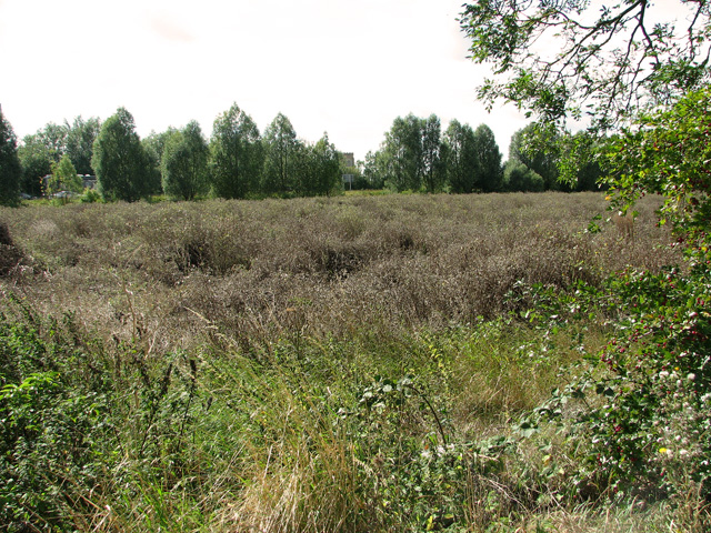
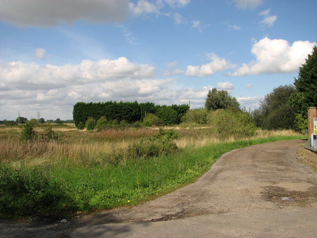
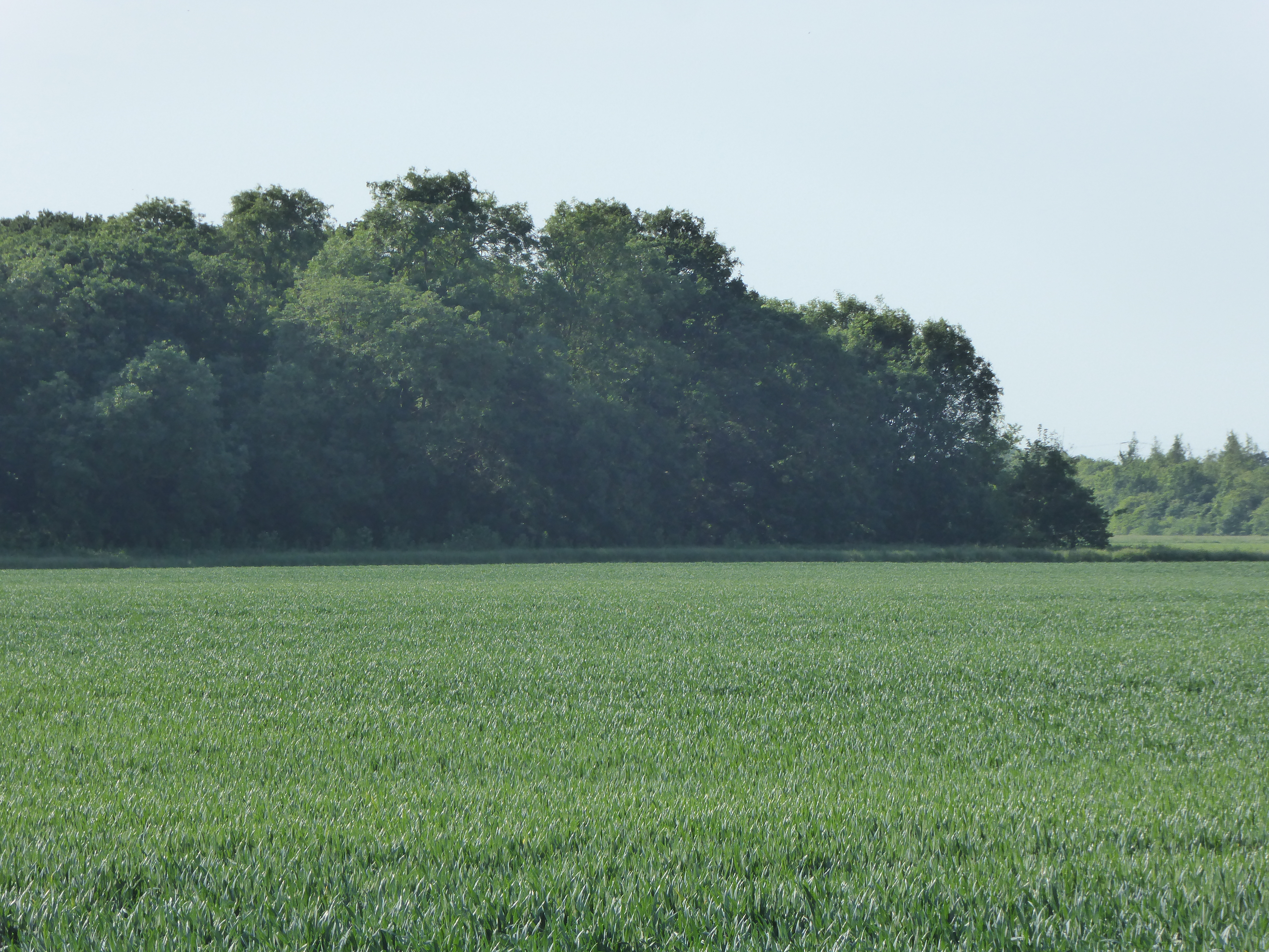
The village itself is characterized by its charming and traditional English cottages, which are surrounded by lush green fields and rolling hills. The landscape is dotted with grazing sheep and cows, adding to the rural charm of the area. The village is surrounded by vast stretches of open moorland, providing ample opportunities for nature enthusiasts to explore and enjoy the local flora and fauna.
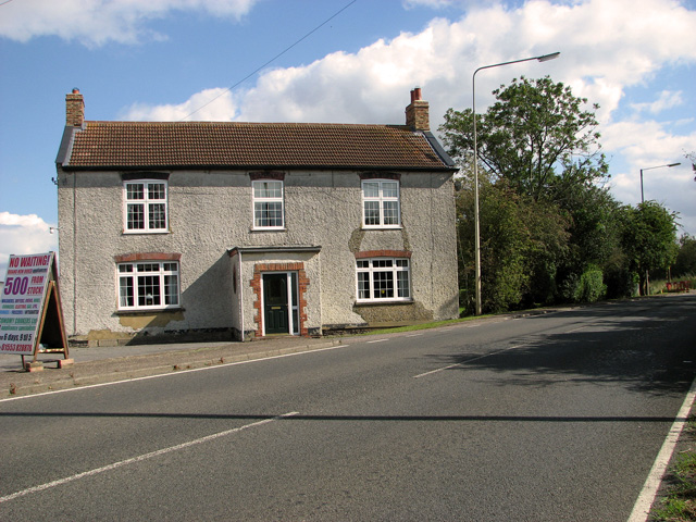
West Newland Field is also home to a tight-knit community that prides itself on its friendly and welcoming nature. The village has a small local pub, serving traditional English fare and acting as a hub for socializing and community events. The village hall hosts various activities and gatherings throughout the year, bringing the residents together in a spirit of camaraderie.
For those seeking outdoor pursuits, the Norfolk Downs and Moorland offer a wealth of opportunities. Hiking and walking trails crisscross the area, providing stunning views of the surrounding countryside. The village is also known for its equestrian activities, with several stables and riding schools offering lessons and trekking experiences.
In summary, West Newland Field in Norfolk is a charming and peaceful village nestled amongst the breathtaking beauty of the Norfolk Downs and Moorland. With its stunning natural surroundings and friendly community, it is a perfect destination for those seeking a tranquil escape from the hustle and bustle of city life.
If you have any feedback on the listing, please let us know in the comments section below.
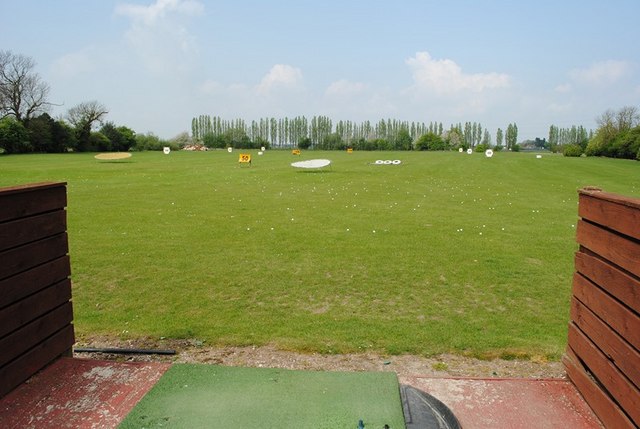
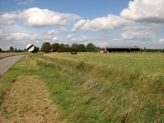
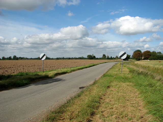
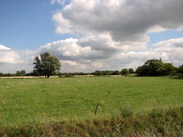
West Newland Field Images
Images are sourced within 2km of 52.729045/0.30180619 or Grid Reference TF5517. Thanks to Geograph Open Source API. All images are credited.


West Newland Field is located at Grid Ref: TF5517 (Lat: 52.729045, Lng: 0.30180619)
Administrative County: Norfolk
District: King's Lynn and West Norfolk
Police Authority: Norfolk
What 3 Words
///scrolled.butternut.congested. Near Terrington St Clement, Norfolk
Nearby Locations
Related Wikis
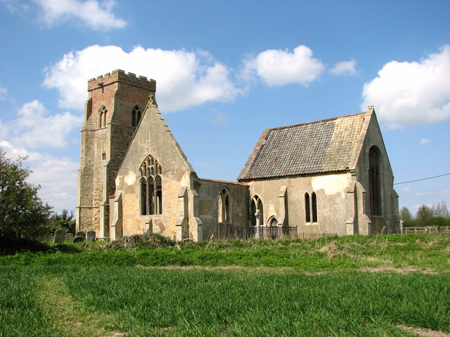
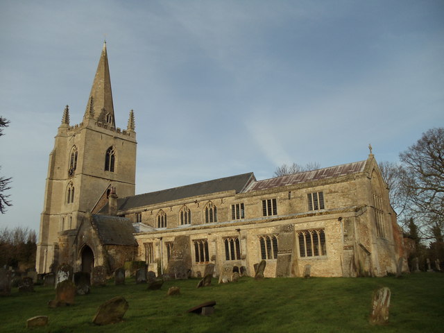
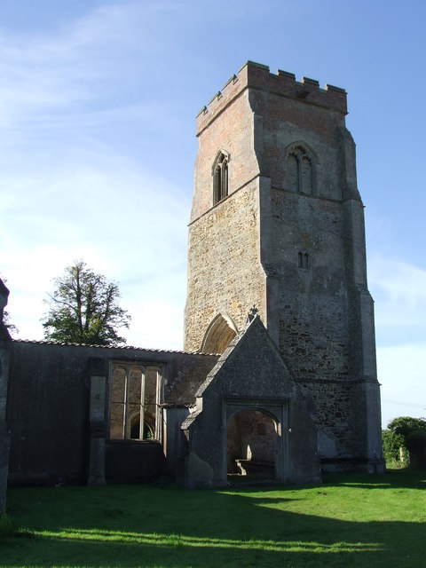
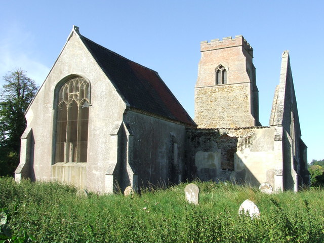
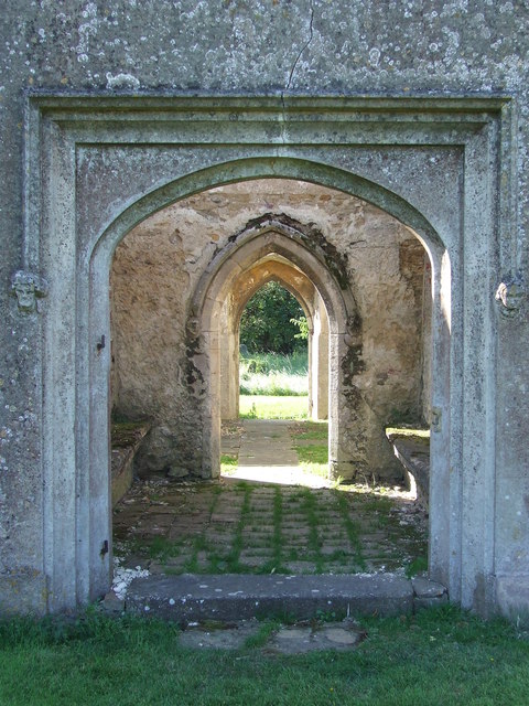
St Mary's Church, Islington, Norfolk
St Mary's Church is a ruined redundant Anglican church in the civil parish of Tilney St Lawrence, Norfolk, England. It is recorded in the National Heritage...

Tilney All Saints
Tilney All Saints is a civil parish in the English county of Norfolk. It covers an area of 11.56 km2 (4.46 sq mi) and had a population of 563 in 230 households...
Islington Heronry
Islington Heronry is a 1.3-hectare (3.2-acre) biological Site of Special Scientific Interest south-west of King's Lynn Norfolk.This stand of mature oaks...

Terrington railway station
Terrington railway station is a former station in Terrington St Clement, Norfolk. It opened in 1866 and was closed in 1959. It was on the Midland and Great...
Clenchwarton railway station
Clenchwarton Railway Station is a former train station in Clenchwarton, Norfolk. It was part of the Midland and Great Northern Joint Railway line from...

Terrington St Clement
Terrington St Clement is a village and civil parish in King's Lynn and West Norfolk borough and district in Norfolk, England. It is in the drained marshlands...

Tilney St Lawrence
Tilney St Lawrence is a village and a civil parish in the English county of Norfolk The village is 52.3 miles (84.2 km) west of Norwich, 9.7 miles (15...
Terrington St John
Terrington St John is a village and civil parish in the English county of Norfolk. The village lies to the south of the route of the A47 between Peterborough...
Nearby Amenities
Located within 500m of 52.729045,0.30180619Have you been to West Newland Field?
Leave your review of West Newland Field below (or comments, questions and feedback).