Brand's Land

Downs, Moorland in Essex Uttlesford

England

Brand's Land

Road junction between Brickkiln Spring and Canfield Hart These are each the names of woods nearby. The B183 runs across ahead in the shot.
Road junction between Brickkiln Spring and Canfield Hart Credit: Trevor Harris

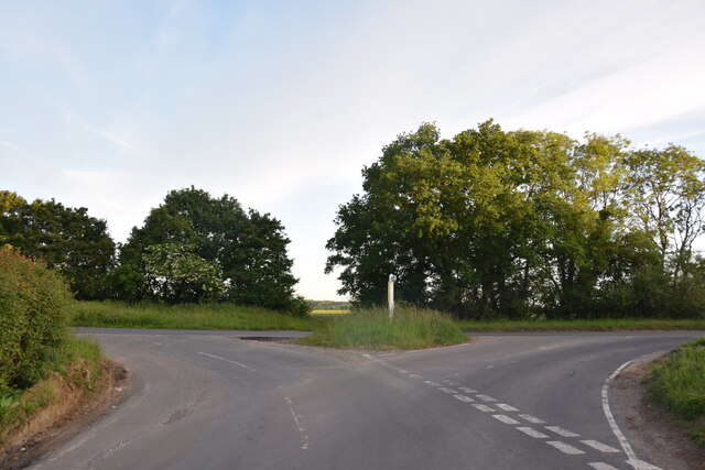
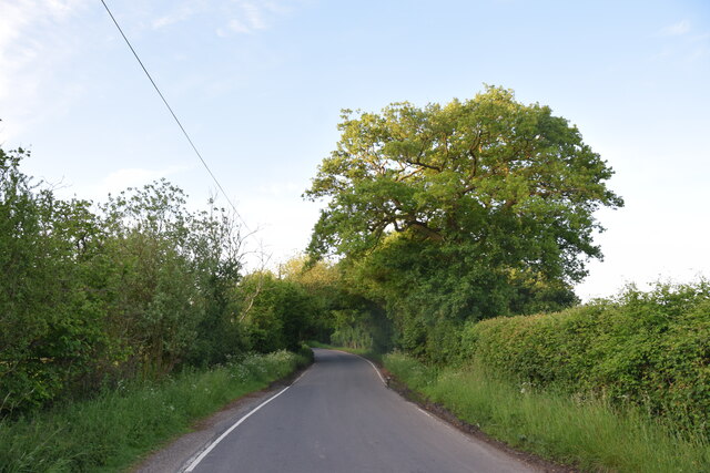
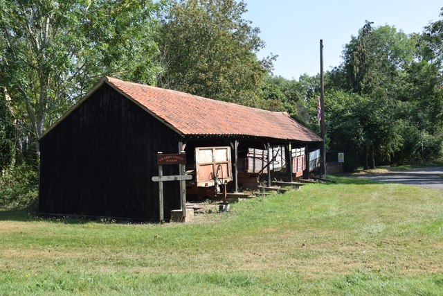
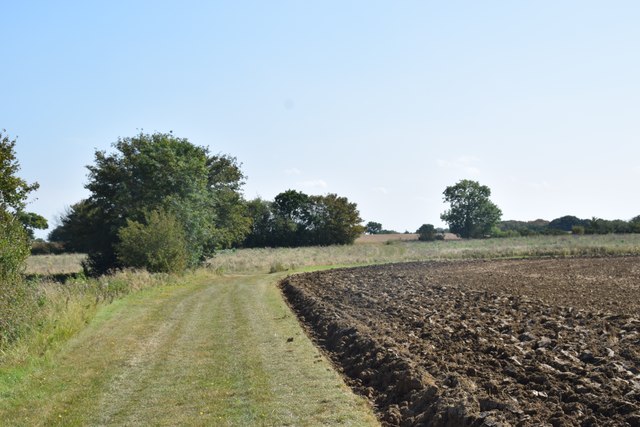
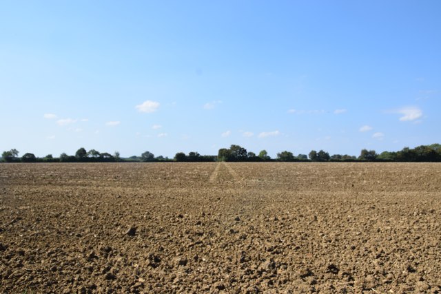
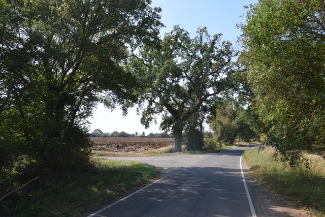
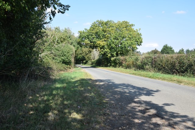
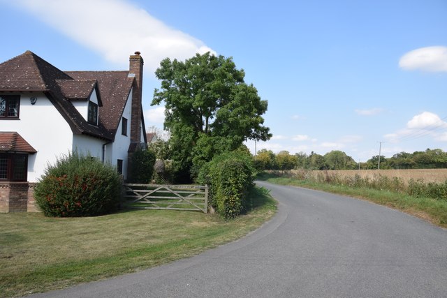
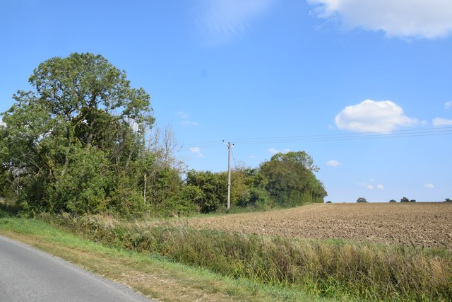
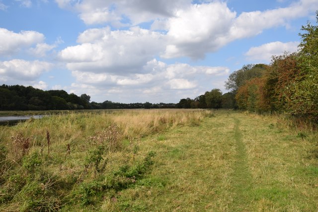
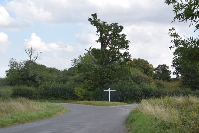
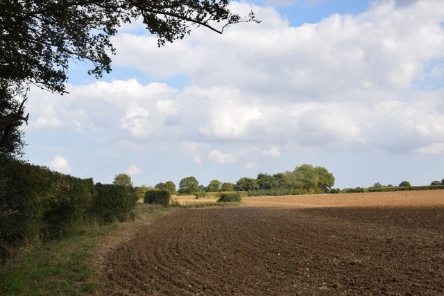
Brand's Land is a picturesque area located in Essex, England, known for its diverse landscape comprising of downs and moorland. Spanning over a considerable area, it offers visitors a unique experience of the countryside.

The downs in Brand's Land showcase rolling hills covered in lush green grass, creating a stunning panoramic view. These hills are interspersed with gentle slopes, giving the landscape a dynamic and undulating character. The downs are home to a variety of plant species, including wildflowers, heather, and gorse, which contribute to the area's vibrant natural beauty.

Adjacent to the downs, the moorland in Brand's Land offers a contrasting landscape with its vast open spaces and heathland vegetation. The moorland is characterized by patches of heather, bracken, and grasses, creating a rich tapestry of colors throughout the year. It provides a habitat for a range of wildlife, including birds, insects, and small mammals.

The area is a popular destination for outdoor enthusiasts, offering numerous walking trails and opportunities for wildlife spotting. Visitors can enjoy leisurely walks along the downs, taking in the breathtaking views, or explore the moorland and its unique flora and fauna. The tranquil atmosphere and natural beauty of Brand's Land make it an ideal place for relaxation and rejuvenation.

Overall, Brand's Land, Essex, is a stunning area that combines the charm of downs and the allure of moorland. Its diverse landscape, rich biodiversity, and recreational opportunities make it a must-visit destination for nature lovers and those seeking a peaceful retreat in the heart of the English countryside.

If you have any feedback on the listing, please let us know in the comments section below.
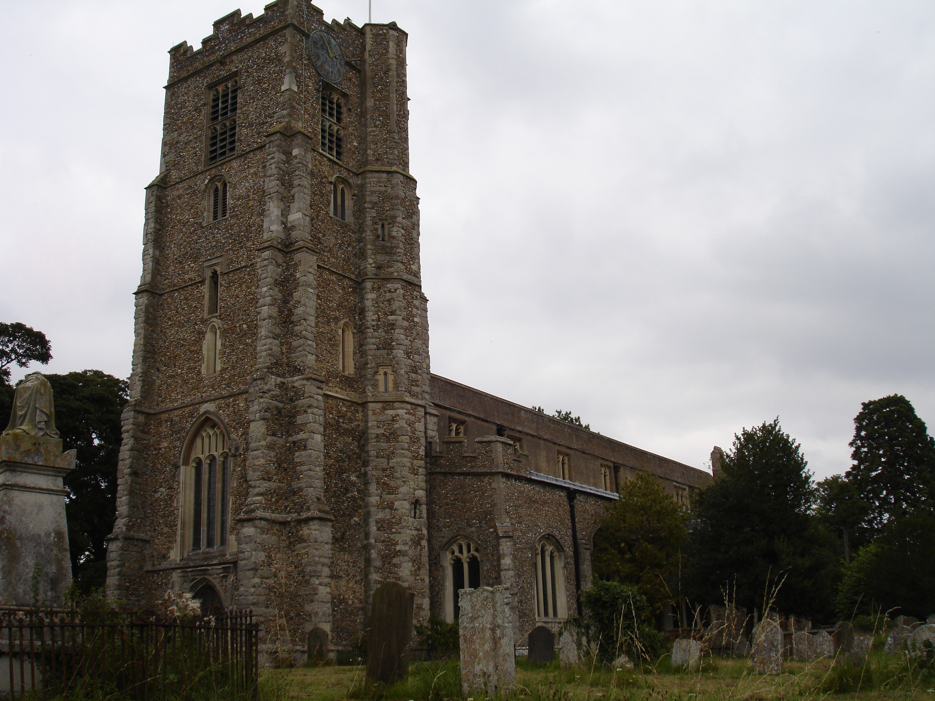
Brand's Land Images

Images are sourced within 2km of 51.841108/0.26177454 or Grid Reference TL5518. Thanks to Geograph Open Source API. All images are credited.

Road junction between Brickkiln Spring and Canfield Hart These are each the names of woods nearby. The B183 runs across ahead in the shot.
Road junction between Brickkiln Spring and Canfield Hart
These are each the names of woods nearby. The B183 runs across ahead in the shot.
Lane to Great Canfield
Junction and Sign The meeting of Hatfield Forest Road/ Wood Row/ Greenhill.
Junction and Sign
The meeting of Hatfield Forest Road/ Wood Row/ Greenhill.
Cannons Lane, Hatfield Broad Oak The Broad Street Green part of the village.
Cannons Lane, Hatfield Broad Oak
The Broad Street Green part of the village.
Shed with trailers  One of the farm buildings at Crabbs Green Farm.
Shed with trailers
One of the farm buildings at Crabbs Green Farm.
Field and farm track at Crabbs Green Farm The field has been freshly ploughed and a harrow is working nearby.
Field and farm track at Crabbs Green Farm
The field has been freshly ploughed and a harrow is working nearby.
Field north of Crabbs Green Farm Taken from Crabbs Green Lane looking west. The tractor track dead ahead shows the line of the public footpath crossing this field.
Field north of Crabbs Green Farm
Taken from Crabbs Green Lane looking west. The tractor track dead ahead shows the line of the public footpath crossing this field.
Road junction at Taverners Green With the lane called Crabbs Green on the left ahead.
Road junction at Taverners Green
With the lane called Crabbs Green on the left ahead.
On the lane to Broomshawbury Looking north here with the fingerpost for Boxley Lane just visible in the centre ahead.
On the lane to Broomshawbury
Looking north here with the fingerpost for Boxley Lane just visible in the centre ahead.
House north of Broomshawbury Taken from just outside the private entrance to Broomshawbury Farm.
House north of Broomshawbury
Taken from just outside the private entrance to Broomshawbury Farm.
Field and copse near Woolard's Ash Taken on the lane to Broomshawbury,
Field and copse near Woolard's Ash
Taken on the lane to Broomshawbury,
Footpath through The Marsh This area north of Hatfield Broad Oak, formerly apparently common grazing, is a good wildlife habitat. Though there are some areas of standing water (one can be seen to the right here), most of the marshy area was dry today - as was Pincey Brook, whose course the path runs beside.
Footpath through The Marsh
This area north of Hatfield Broad Oak, formerly apparently common grazing, is a good wildlife habitat. Though there are some areas of standing water (one can be seen to the right here), most of the marshy area was dry today - as was Pincey Brook, whose course the path runs beside.
Finger post at junction near Bridgefoot Farm Directions shown are left to Takeley and Hatfield Forest, right to Hatfield Broad Oak, and towards the photographer, to Woodside Green and Hallingbury. For a close-up see photo from contributor David Bremner <a href="https://www.geograph.org.uk/photo/7329457">TL5418 : Junction and Sign</a>
Finger post at junction near Bridgefoot Farm
Directions shown are left to Takeley and Hatfield Forest, right to Hatfield Broad Oak, and towards the photographer, to Woodside Green and Hallingbury. For a close-up see photo from contributor David Bremner TL5418 : Junction and Sign
Little Barrington Hall Farm
Field south of Greenhill Is beside, or was part of Brumsted Common.
Field south of Greenhill
Is beside, or was part of Brumsted Common.
Hatfield Forest. Now a popular park cared for by the National Trust.
Hatfield Forest.
Now a popular park cared for by the National Trust.
Thatched cottages, Hatfield Broad Oak, Essex
Cottages at Greenhill, near Hatfield Broad Oak, Essex
Show me another place!

Brand's Land is located at Grid Ref: TL5518 (Lat: 51.841108, Lng: 0.26177454)

Administrative County: Essex

District: Uttlesford

Police Authority: Essex

What 3 Words

///expensive.kinds.visions. Near Takeley, Essex

Related Wikis

Taverners Green

Taverners Green is a hamlet in the Hatfield Broad Oak civil parish of the Uttlesford district, in the county of Essex, England. Nearby settlements include...

Barrington Hall, Essex

Barrington Hall is a Grade II* listed 18th-century English country house in Hatfield Broad Oak, Essex, England. Barrington Hall is built in red brick...

Hatfield Regis Priory

Hatfield Broad Oak Priory, or Hatfield Regis Priory, is a former Benedictine priory in Hatfield Broad Oak, Essex, England. Founded by 1139, it was dissolved...

Hatfield Broad Oak

Hatfield Broad Oak (also known as Hatfield Regis) is a village and civil parish in the Uttlesford district of Essex, England. The village is approximately...
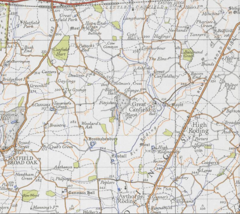
Great Canfield

Great Canfield is a village and a civil parish in the Uttlesford district of Essex, England. The village, which sits at the south-east edge of its civil...

Takeley F.C.

Takeley Football Club is an English football club based in Takeley, Essex. The club are currently members of the Essex Senior League and play at Station...

Little Canfield

Little Canfield is a village and a civil parish in the Uttlesford district of Essex, England. The village is situated the B1256 road, near the A120 road...

Takeley railway station

Takeley railway station was a station serving the Hockerill area of Takeley in Bishop's Stortford, England. The station was 5 miles 11 chains (8.27 km...

Nearby Amenities

Located within 500m of 51.841108,0.26177454
Taverners Green
Place: hamlet
Wikidata: Q7689076
Lat/Long: 51.8375934/0.2650301
Brumsted Common
Place: locality
Lat/Long: 51.8428627/0.2560586
The data included in this document is from www.openstreetmap.org. The data is made available under ODbL.

Have you been to Brand's Land?

Leave your review of Brand's Land below (or comments, questions and feedback).