Gaston Common

Downs, Moorland in Essex Uttlesford

England

Gaston Common

Lee and Stort Navigation: Lock no 3 - Spellbrook Lock A lock situated in what appears to be a remote stretch of the route, though a look at the map reveals that the hamlet of Spellbrook is just the other side of the railway line to the west while the landmark of Wallbury (an iron-age behemoth) is alongside to the east, though it is not seen from the canal.
Lee and Stort Navigation: Lock no 3 - Spellbrook Lock Credit: Peter S

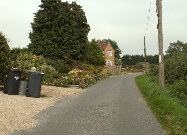
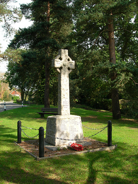
Gaston Common is a small village located in the county of Essex, in the southeastern part of England. Situated amidst the scenic beauty of the Essex Downs and Moorland, this rural settlement offers a tranquil and picturesque environment for its residents and visitors alike.

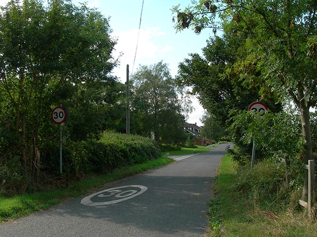
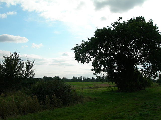
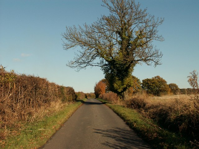
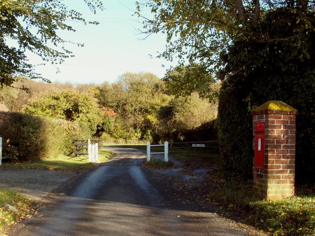
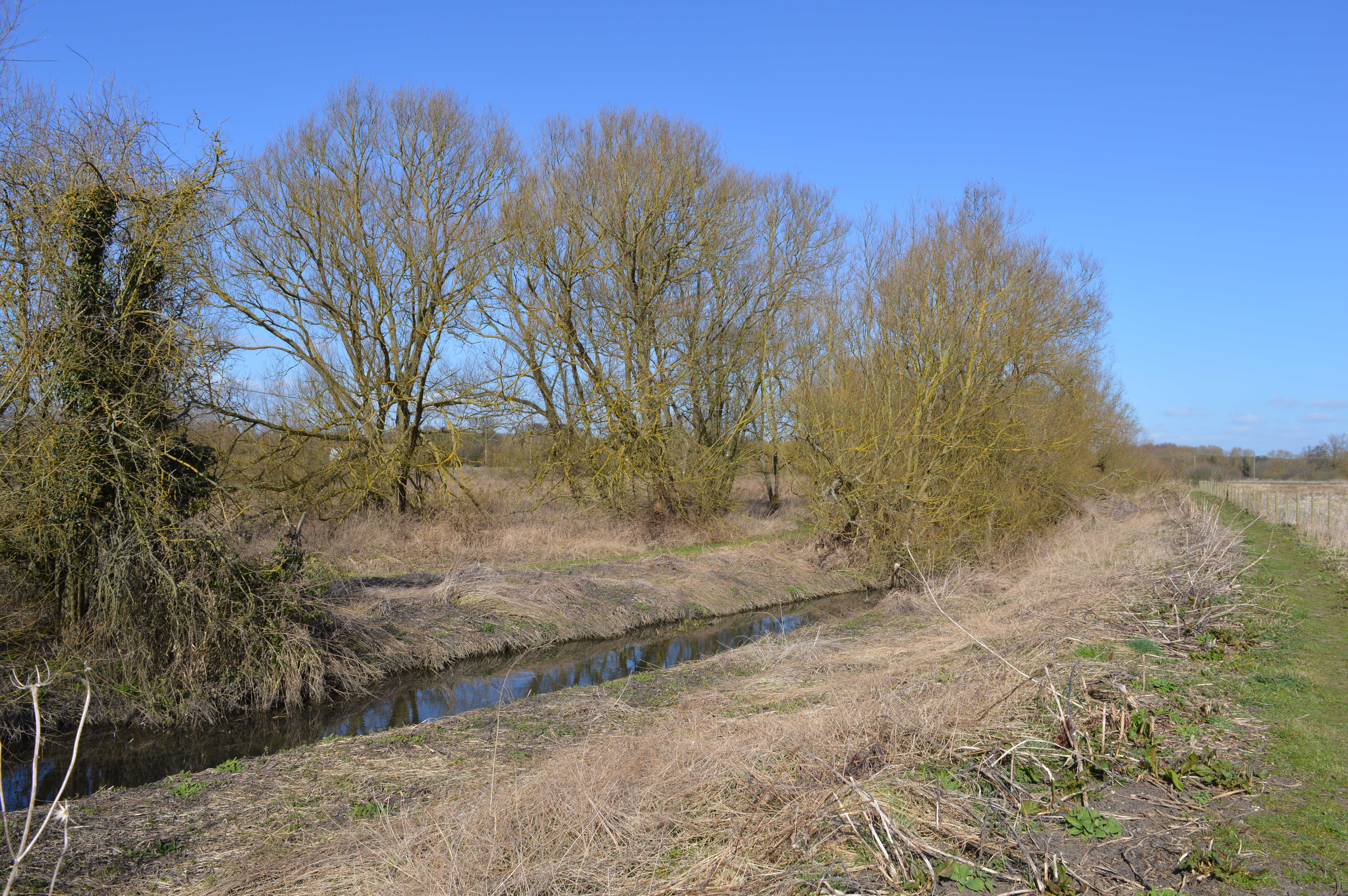
The village is characterized by its charming countryside setting, with rolling hills, lush green fields, and meandering streams, creating an idyllic backdrop for outdoor activities and leisurely strolls. The area is known for its diverse wildlife and is a haven for nature enthusiasts, with numerous walking trails and nature reserves nearby.

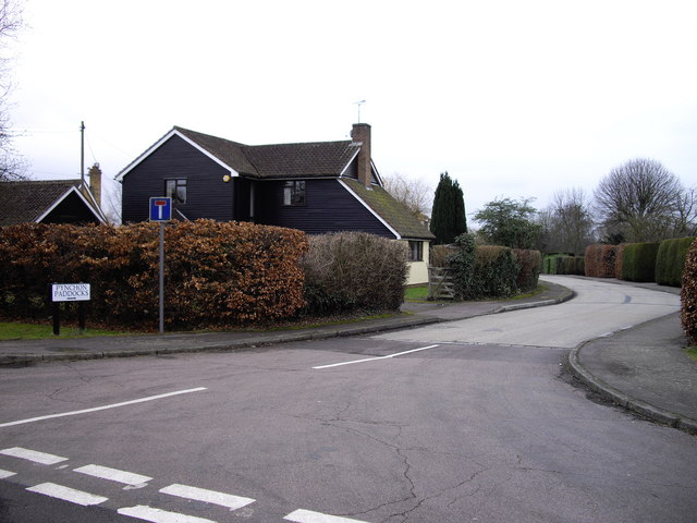
Gaston Common itself is a close-knit community with a population of approximately 500 residents. The village boasts a quaint village center, featuring a local pub, a small grocery store, and a few independent shops. The residents take pride in their village, actively participating in community events and initiatives to maintain its unique charm and heritage.

The village is well-connected to surrounding areas, with good road links to nearby towns and cities. The town of Chelmsford is a short drive away, offering a wider range of amenities such as shopping centers, schools, and healthcare facilities.

Overall, Gaston Common in Essex is an enchanting rural village that offers a peaceful retreat from the hustle and bustle of city life. With its stunning natural surroundings and close-knit community, it is an ideal place for those seeking a slower pace of life and a genuine connection with nature.

If you have any feedback on the listing, please let us know in the comments section below.

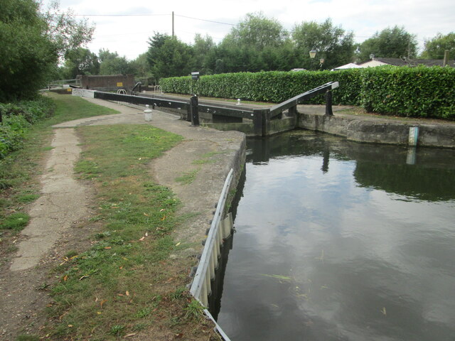
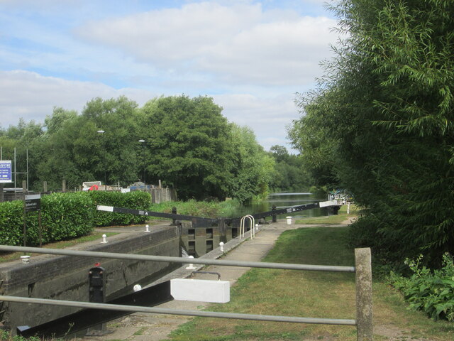
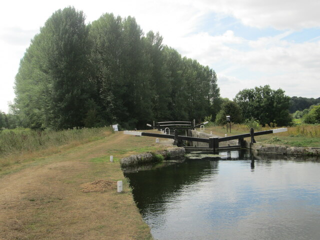
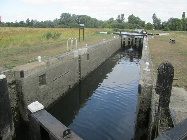
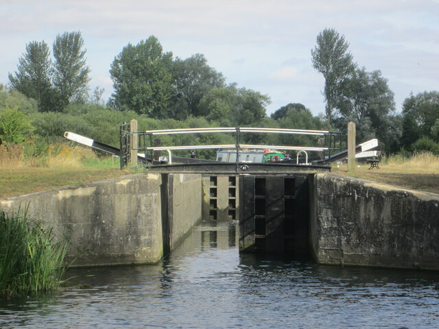
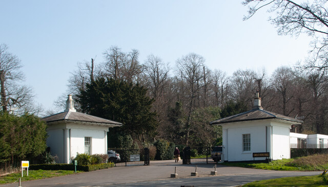
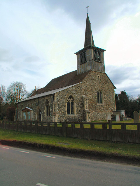
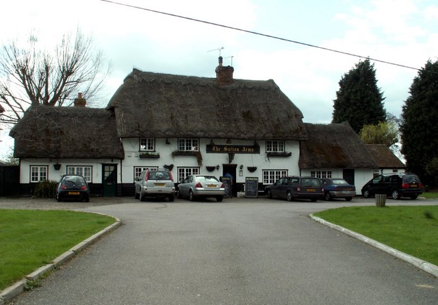
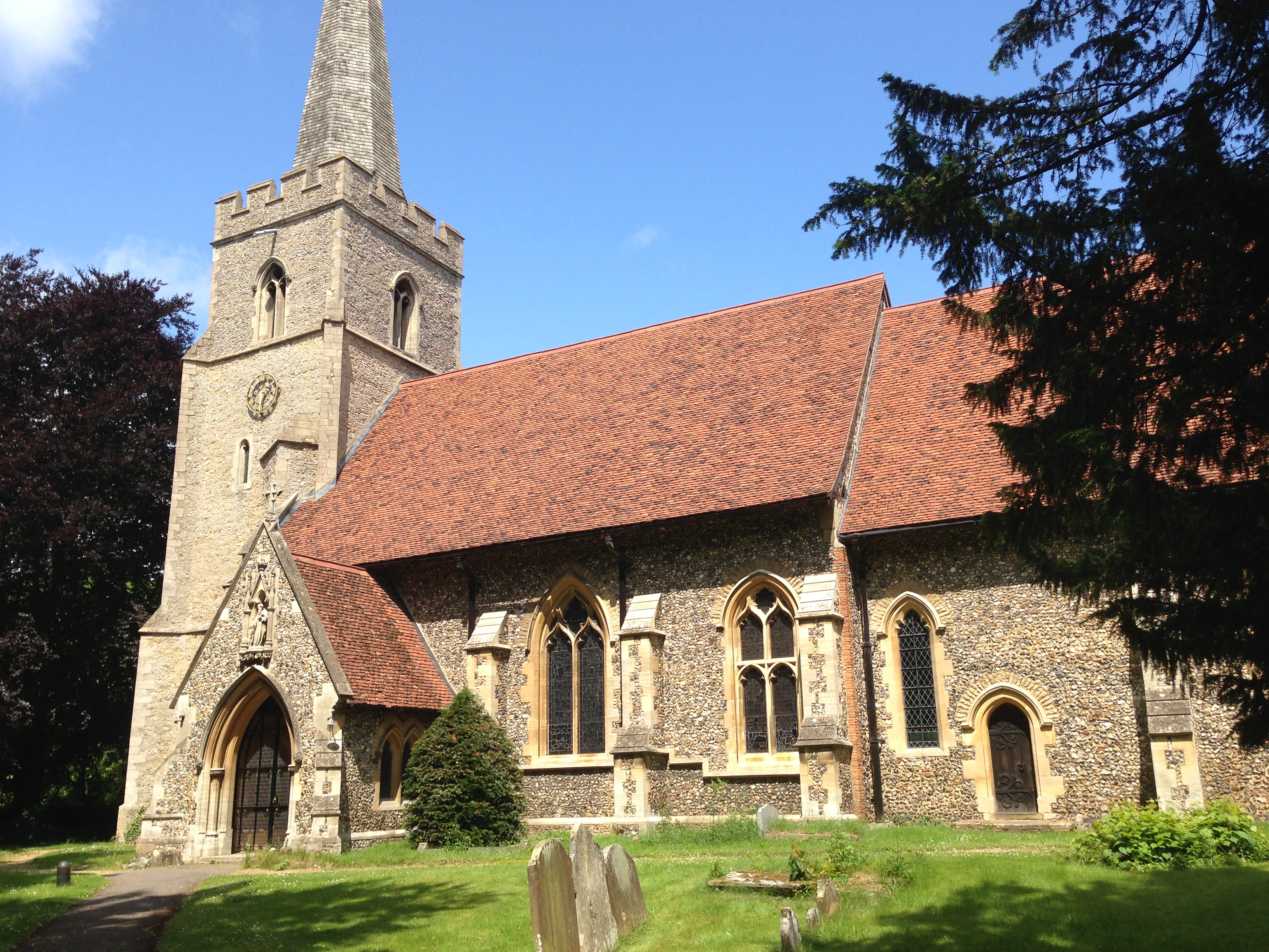
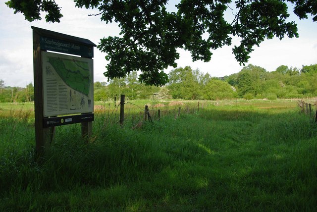
Gaston Common Images

Images are sourced within 2km of 51.832308/0.17775899 or Grid Reference TL5017. Thanks to Geograph Open Source API. All images are credited.

Lee and Stort Navigation: Lock no 3 - Spellbrook Lock A lock situated in what appears to be a remote stretch of the route, though a look at the map reveals that the hamlet of Spellbrook is just the other side of the railway line to the west while the landmark of Wallbury (an iron-age behemoth) is alongside to the east, though it is not seen from the canal.
Lee and Stort Navigation: Lock no 3 - Spellbrook Lock
A lock situated in what appears to be a remote stretch of the route, though a look at the map reveals that the hamlet of Spellbrook is just the other side of the railway line to the west while the landmark of Wallbury (an iron-age behemoth) is alongside to the east, though it is not seen from the canal.
Lee and Stort Navigation: Lock no 3 - Spellbrook Lock - view north
Approaching Tednambury Lock
Lee and Stort Navigation: Lock no 4 Tednambury Lock After a significant bend in the canal, and the path accordingly, to the left and a dividing of the waterways, the route continues to the right due south to reveal this lock. The lock apparently takes its name from nearby Tednambury Farm.
Lee and Stort Navigation: Lock no 4 Tednambury Lock
After a significant bend in the canal, and the path accordingly, to the left and a dividing of the waterways, the route continues to the right due south to reveal this lock. The lock apparently takes its name from nearby Tednambury Farm.
Lee and Stort Navigation: Lock no 4 Tednambury Lock - from the south
Sawbridgeworth : lodges, Great Hyde Hall
St. Mary's Church, Little Hallingbury
'The Sutton Arms' public house, Little Hallingbury, Essex This pub stands on the A1060 road at the southern end of Little Hallingbury in an area called Hall Green.
'The Sutton Arms' public house, Little Hallingbury, Essex
This pub stands on the A1060 road at the southern end of Little Hallingbury in an area called Hall Green.
New Barn Lane, Little Hallingbury, Essex This is by Normandale Kennels.
New Barn Lane, Little Hallingbury, Essex
This is by Normandale Kennels.
War Memorial The memorial in the grounds of St Mary's Church, Little Hallingbury commemorates the fallen of World War I.
War Memorial
The memorial in the grounds of St Mary's Church, Little Hallingbury commemorates the fallen of World War I.
Wrights Green village The entrance to the village on Goose Lane, 50 metres from the bridge over the M11 motorway.
Wrights Green village
The entrance to the village on Goose Lane, 50 metres from the bridge over the M11 motorway.
Goose Lane bridge Goose Lane, Wrights Green, crosses the M11 via this bridge, only 50 metres from the entrance to the village.
Goose Lane bridge
Goose Lane, Wrights Green, crosses the M11 via this bridge, only 50 metres from the entrance to the village.
Footpath junction A well-disguised junction of the path to Little Hallingbury Park from the Harcamlow Way-Three Forests Way footpath.
Footpath junction
A well-disguised junction of the path to Little Hallingbury Park from the Harcamlow Way-Three Forests Way footpath.
Part of Goose Lane, on the way to Woodside Green
Part of Goose Lane by Monks Wood The white barriers mark a cattle grid.
Part of Goose Lane by Monks Wood
The white barriers mark a cattle grid.
Pynchon Paddocks Little Hillingbury Taken at junction with Wrights Green Lane
Pynchon Paddocks Little Hillingbury
Taken at junction with Wrights Green Lane
Sign 'Wrights Green' The 'Green' is out of picture to the left.
Sign 'Wrights Green'
The 'Green' is out of picture to the left.
Wright's Green
Wright's Green
Show me another place!

Gaston Common is located at Grid Ref: TL5017 (Lat: 51.832308, Lng: 0.17775899)

Administrative County: Essex

District: Uttlesford

Police Authority: Essex

What 3 Words

///common.blame.purple. Near Little Hallingbury, Essex

Related Wikis

Great Hallingbury

Great Hallingbury is a village and a civil parish in the Uttlesford District of Essex, England. The population of the civil parish at the 2011 census was...

Little Hallingbury

Little Hallingbury is a small village and a civil parish in the Uttlesford district of Essex, England. == Geography == Little Hallingbury parish is on...

Little Hallingbury Marsh

Little Hallingbury Marsh is a 4.5-hectare (11-acre) biological Site of Special Scientific Interest adjacent to the River Stort, west of Little Hallingbury...

Spelbrook railway station

Spelbrook railway station, also known as Spellbrook railway station, Spelbroke railway station and Spillbrook railway station served the hamlet of Spellbrook...

Sawbridgeworth Marsh

Sawbridgeworth Marsh is a 6.3-hectare (16-acre) biological Site of Special Scientific Interest (SSSI) near Sawbridgeworth in Hertfordshire, apart from...

Spellbrook

Spellbrook is a hamlet in Hertfordshire, situated between Bishop's Stortford and Sawbridgeworth. == Location == Spellbrook is one mile south of Bishop...

Thorley Wash nature reserve

Thorley Wash or Thorley Flood Pound is a 17.3-hectare biological Site of Special Scientific Interest in Thorley, south of Bishop's Stortford in Hertfordshire...

The Leventhorpe School

Leventhorpe School is a mixed, 11-19 secondary school and sixth form in the town of Sawbridgeworth, Hertfordshire. The school became an academy in August...

Nearby Amenities

Located within 500m of 51.832308,0.17775899
Bus Stop
Grinstead Lane
Bus: yes
Naptan AtcoCode: 150020011022
Naptan Bearing: SE
Naptan CommonName: Grinstead Lane
Naptan Crossing: Grinstead Lane
Naptan Indicator: Opp
Naptan Landmark: Grinstead Lane
Naptan NaptanCode: esxdgjwj
Naptan PlusbusZoneRef: BSHPSFD
Naptan Street: Lower Road
Naptan Verified: no
Public Transport: platform
Source: naptan_import
Lat/Long: 51.8304691/0.1836355
Bus Stop
Grinstead Lane
Bus: yes
Naptan AtcoCode: 150020011023
Naptan Bearing: NW
Naptan CommonName: Grinstead Lane
Naptan Crossing: Grinstead Lane
Naptan Indicator: Adj
Naptan Landmark: Grinstead Lane
Naptan NaptanCode: esxdgmda
Naptan PlusbusZoneRef: BSHPSFD
Naptan Street: Lower Road
Naptan Verified: no
Public Transport: platform
Source: naptan_import
Lat/Long: 51.8308038/0.1830421
Bus Stop
School
Bus: yes
Naptan AtcoCode: 150020011025
Naptan Bearing: NW
Naptan BusStopType: CUS
Naptan CommonName: School
Naptan Crossing: Wright's Green Lane
Naptan Indicator: Opp
Naptan Landmark: School
Naptan NaptanCode: esxdgmat
Naptan PlusbusZoneRef: BSHPSFD
Naptan Street: Lower Road
Naptan Verified: no
Public Transport: platform
Source: naptan_import
Lat/Long: 51.8354432/0.178244
Bus Stop
School
Bus: yes
Naptan AtcoCode: 1500IM2153
Naptan Bearing: SE
Naptan CommonName: School
Naptan Crossing: Wright's Green Lane
Naptan Indicator: o/s
Naptan Landmark: School
Naptan NaptanCode: esxdgmap
Naptan PlusbusZoneRef: BSHPSFD
Naptan Street: Lower Road
Naptan Verified: no
Public Transport: platform
Source: naptan_import
Lat/Long: 51.8355246/0.1782189
Gaston Green
Place: hamlet
Source: survey
Lat/Long: 51.8319791/0.1711775
Direction: backward
Traffic Calming: choker
Lat/Long: 51.8303699/0.1821462
Waste Basket
Waste: dog_excrement
Lat/Long: 51.8347326/0.1795069
Waste Basket
Lat/Long: 51.8347434/0.1795967
Post Box
Lat/Long: 51.8348172/0.1790582
Advertising: board
Lat/Long: 51.8346299/0.1793989
Post Office
Little Hallingbury Post Office
Addr Country: GB
Addr Postcode: CM22 7RD
Brand: Post Office
Brand Wikidata: Q1783168
Contact Website: https://www.postoffice.co.uk/branch-finder/3784703/little-hallingbury
Ref Pol Id: 97216
Lat/Long: 51.8344691/0.1793117
Give Way
Direction: forward
Lat/Long: 51.8356963/0.177273
Crossing
Lat/Long: 51.8361518/0.1768987
Barrier: swing_gate
Lat/Long: 51.8324956/0.1743786
Information: guidepost
Tourism: information
Lat/Long: 51.8312279/0.1721053
Barrier: cycle_barrier
Lat/Long: 51.8325008/0.1848284
Information: guidepost
Tourism: information
Lat/Long: 51.8315846/0.1825947
Barrier: cycle_barrier
Lat/Long: 51.8315756/0.1826378
The data included in this document is from www.openstreetmap.org. The data is made available under ODbL.

Have you been to Gaston Common?

Leave your review of Gaston Common below (or comments, questions and feedback).