Wright's Green

Settlement in Essex Uttlesford

England

Wright's Green

Lee and Stort Navigation: Lock no 3 - Spellbrook Lock A lock situated in what appears to be a remote stretch of the route, though a look at the map reveals that the hamlet of Spellbrook is just the other side of the railway line to the west while the landmark of Wallbury (an iron-age behemoth) is alongside to the east, though it is not seen from the canal.
Lee and Stort Navigation: Lock no 3 - Spellbrook Lock Credit: Peter S

Wright's Green is a small village located in the district of Uttlesford in the county of Essex, England. Situated approximately 3 miles northwest of the town of Dunmow, the village is known for its picturesque rural setting and historic charm.

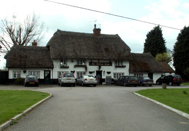
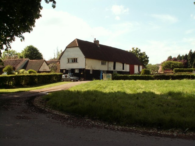
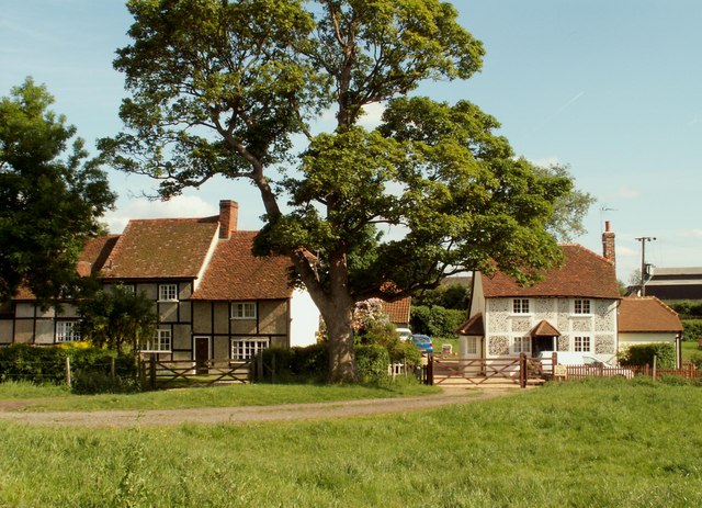
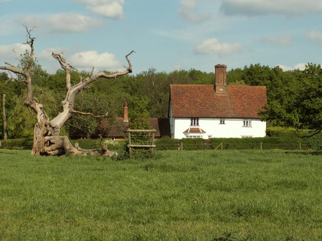
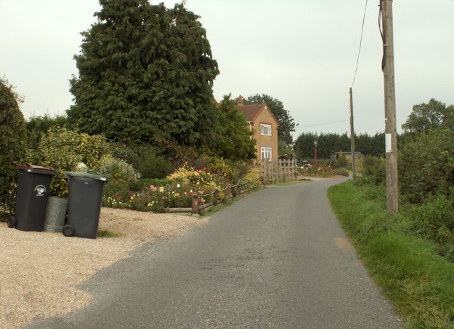
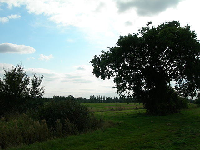
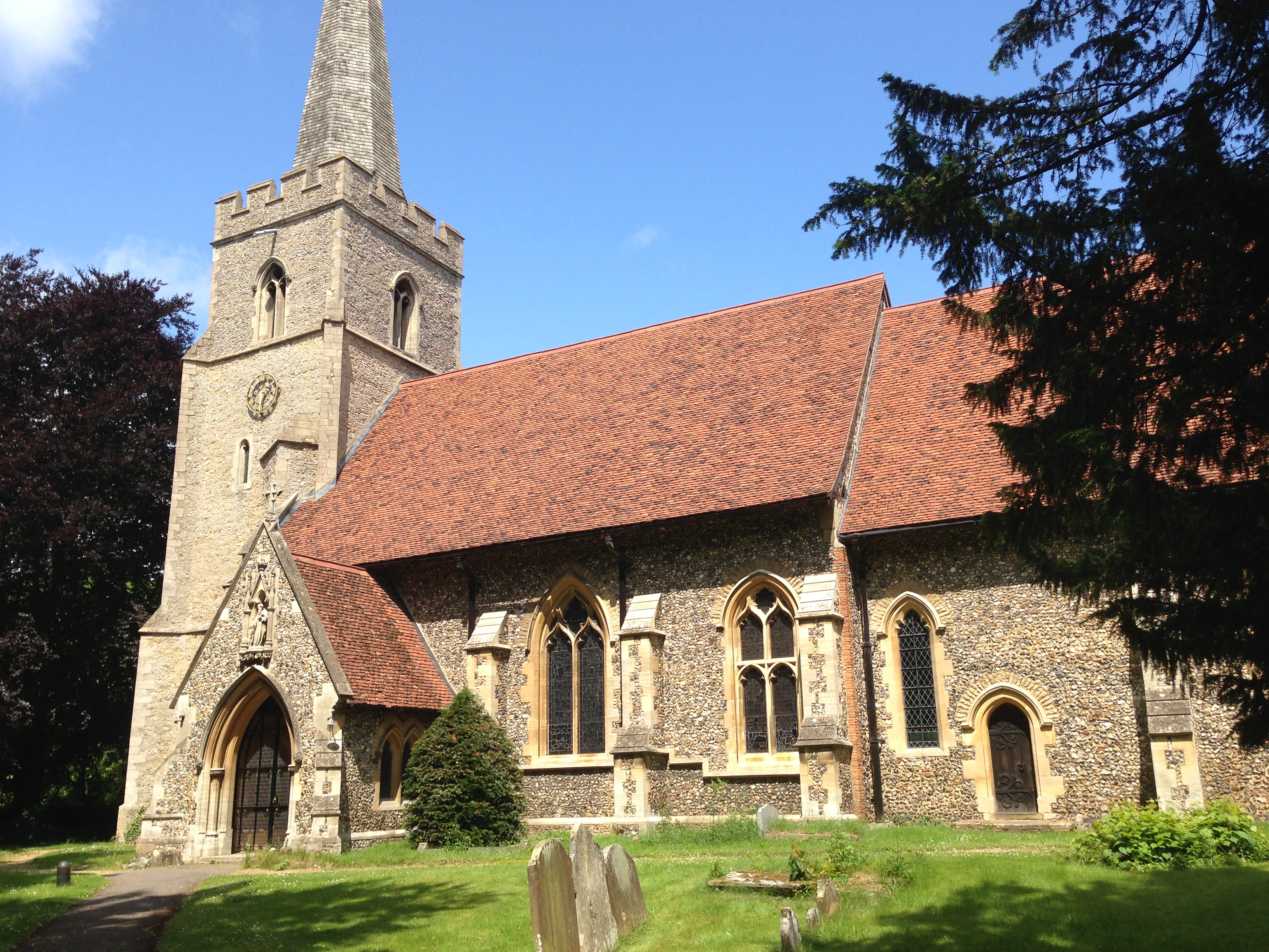
Surrounded by rolling countryside and farmland, Wright's Green offers residents and visitors a tranquil escape from the busyness of nearby urban areas. The village is characterized by its traditional thatched cottages, which add to its quaint and timeless appeal. The architecture of the village reflects its long history and rural heritage.

Despite its small size, Wright's Green is not lacking in amenities. The village boasts a local pub, The Green Man, which serves as a hub for socializing and community gatherings. There is also a primary school, providing education for the village's younger population.

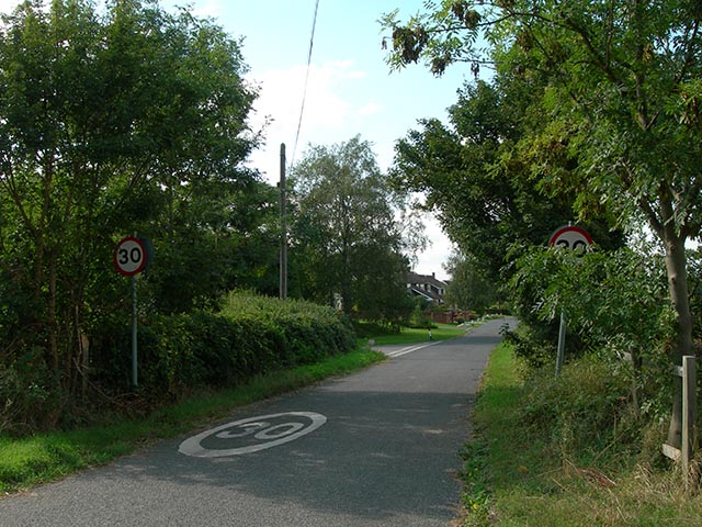
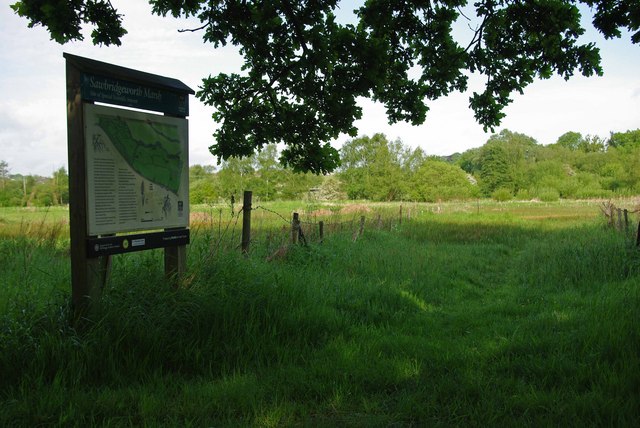
The village is ideally located for those who enjoy outdoor activities. It is surrounded by numerous walking and cycling routes, allowing residents to explore the beautiful Essex countryside. Additionally, the nearby Flitch Way, a former railway line turned nature trail, provides a perfect opportunity for leisurely walks or bike rides.

Transport links to Wright's Green are convenient, with the A120 road passing nearby. The village is also within easy reach of Stansted Airport, making it an attractive location for those who require regular air travel.

Overall, Wright's Green offers a peaceful and idyllic setting, making it a desirable place to live for those seeking a rural lifestyle with easy access to amenities and transport connections.

If you have any feedback on the listing, please let us know in the comments section below.

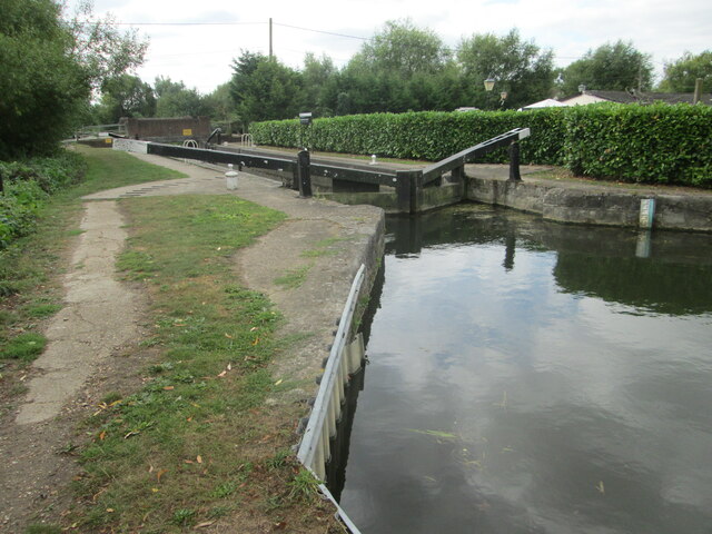
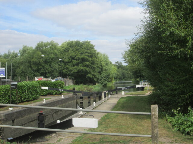
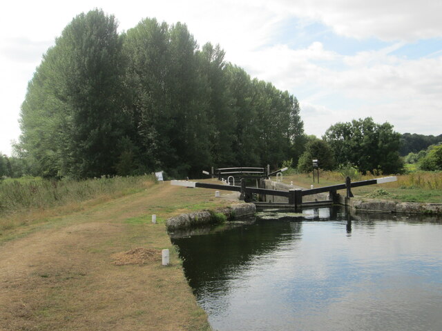
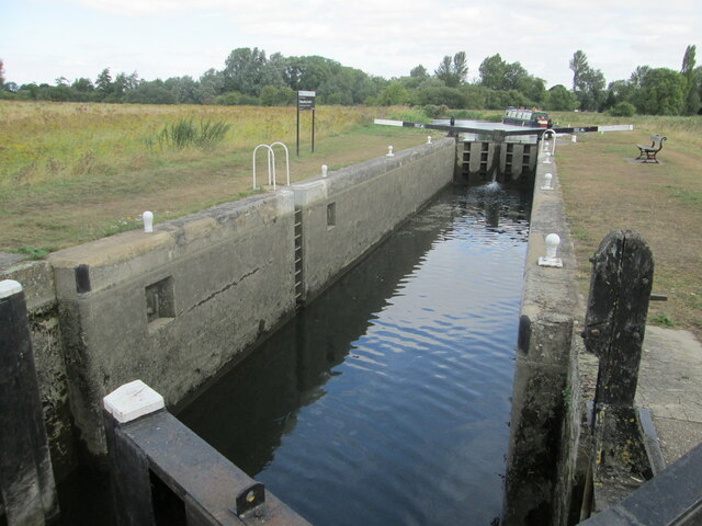
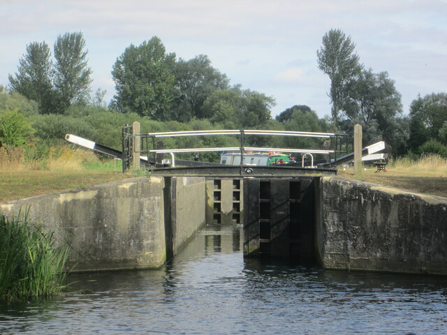
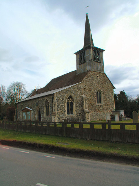
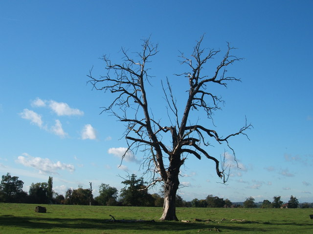
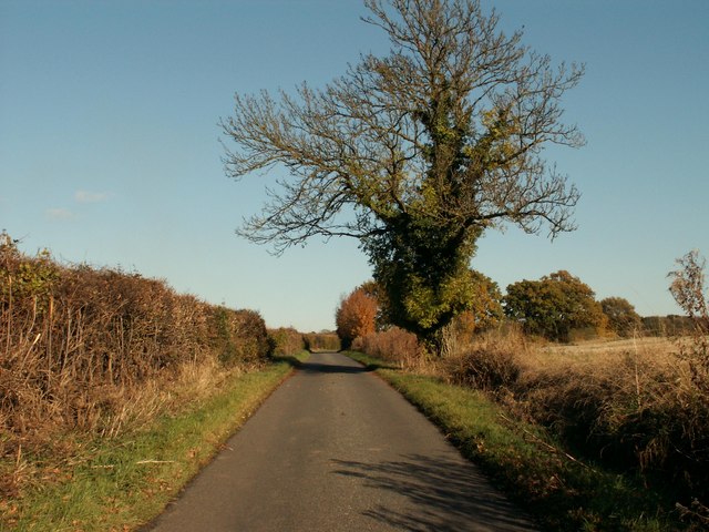
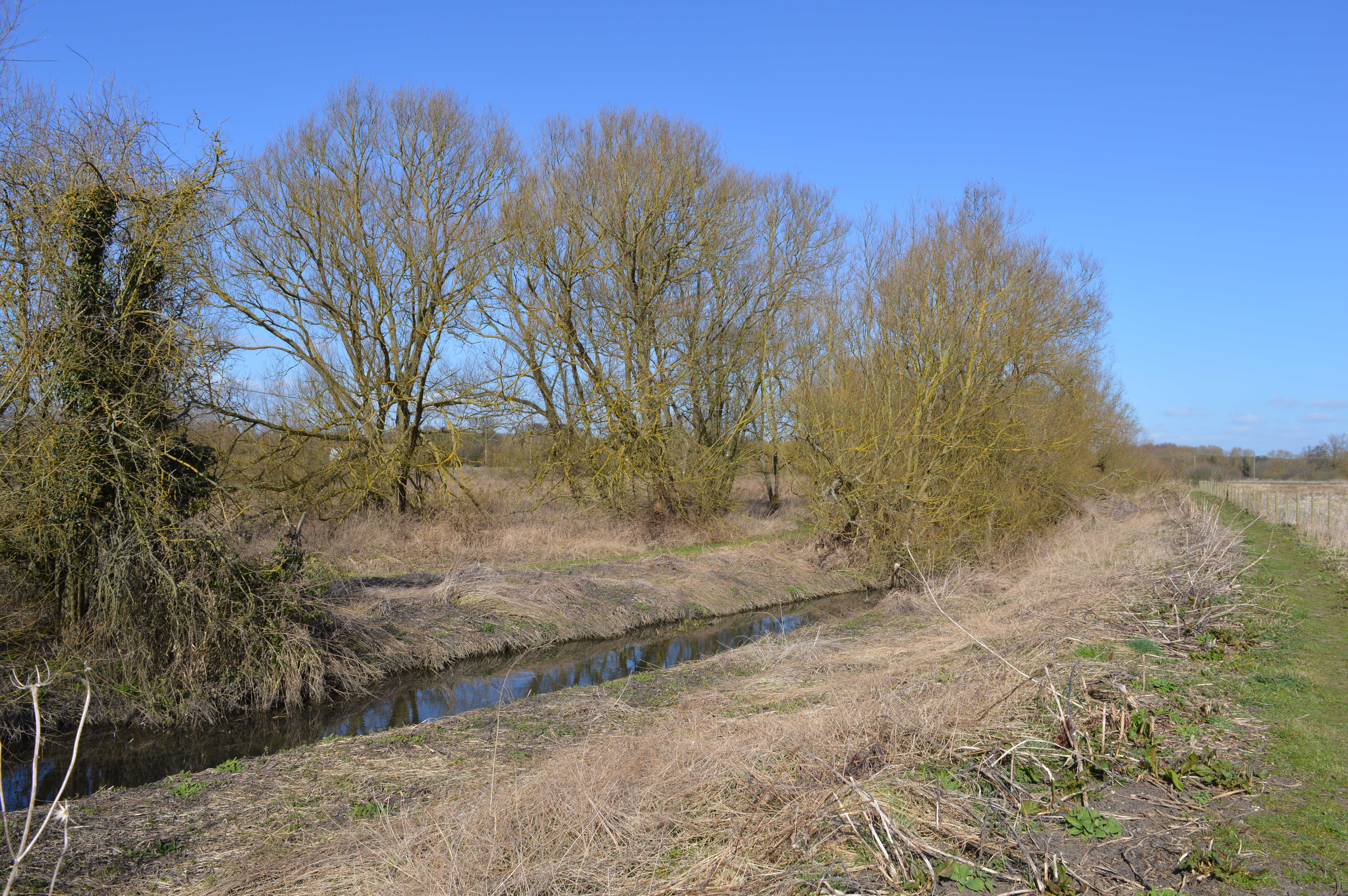
Wright's Green Images

Images are sourced within 2km of 51.833461/0.187207 or Grid Reference TL5017. Thanks to Geograph Open Source API. All images are credited.

Lee and Stort Navigation: Lock no 3 - Spellbrook Lock A lock situated in what appears to be a remote stretch of the route, though a look at the map reveals that the hamlet of Spellbrook is just the other side of the railway line to the west while the landmark of Wallbury (an iron-age behemoth) is alongside to the east, though it is not seen from the canal.
Lee and Stort Navigation: Lock no 3 - Spellbrook Lock
A lock situated in what appears to be a remote stretch of the route, though a look at the map reveals that the hamlet of Spellbrook is just the other side of the railway line to the west while the landmark of Wallbury (an iron-age behemoth) is alongside to the east, though it is not seen from the canal.
Lee and Stort Navigation: Lock no 3 - Spellbrook Lock - view north
Approaching Tednambury Lock
Lee and Stort Navigation: Lock no 4 Tednambury Lock After a significant bend in the canal, and the path accordingly, to the left and a dividing of the waterways, the route continues to the right due south to reveal this lock. The lock apparently takes its name from nearby Tednambury Farm.
Lee and Stort Navigation: Lock no 4 Tednambury Lock
After a significant bend in the canal, and the path accordingly, to the left and a dividing of the waterways, the route continues to the right due south to reveal this lock. The lock apparently takes its name from nearby Tednambury Farm.
Lee and Stort Navigation: Lock no 4 Tednambury Lock - from the south
St. Mary's Church, Little Hallingbury
'The Sutton Arms' public house, Little Hallingbury, Essex This pub stands on the A1060 road at the southern end of Little Hallingbury in an area called Hall Green.
'The Sutton Arms' public house, Little Hallingbury, Essex
This pub stands on the A1060 road at the southern end of Little Hallingbury in an area called Hall Green.
Lodge Farm, Essex This farm is situated at the southern end of Hatfield Forest, near to Little Hallingbury.
Lodge Farm, Essex
This farm is situated at the southern end of Hatfield Forest, near to Little Hallingbury.
Cottages at Woodside Green, Essex Woodside Green is a lovely place, at the southern end of Hatfield Forest near Little Hallingbury.  There is a large green area here where cows roam freely.
Cottages at Woodside Green, Essex
Woodside Green is a lovely place, at the southern end of Hatfield Forest near Little Hallingbury. There is a large green area here where cows roam freely.
Woodfold cottage at Woodside Green, Essex Woodside Green is near Little Hallingbury.  This cottage is just one of the many pretty buildings dotted around Woodside Green.
Woodfold cottage at Woodside Green, Essex
Woodside Green is near Little Hallingbury. This cottage is just one of the many pretty buildings dotted around Woodside Green.
New Barn Lane, Little Hallingbury, Essex This is by Normandale Kennels.
New Barn Lane, Little Hallingbury, Essex
This is by Normandale Kennels.
War Memorial The memorial in the grounds of St Mary's Church, Little Hallingbury commemorates the fallen of World War I.
War Memorial
The memorial in the grounds of St Mary's Church, Little Hallingbury commemorates the fallen of World War I.
Wrights Green village The entrance to the village on Goose Lane, 50 metres from the bridge over the M11 motorway.
Wrights Green village
The entrance to the village on Goose Lane, 50 metres from the bridge over the M11 motorway.
Goose Lane bridge Goose Lane, Wrights Green, crosses the M11 via this bridge, only 50 metres from the entrance to the village.
Goose Lane bridge
Goose Lane, Wrights Green, crosses the M11 via this bridge, only 50 metres from the entrance to the village.
Footbridge This footbridge on the path Corringales is well overgrown, but accessible.
Footbridge
This footbridge on the path Corringales is well overgrown, but accessible.
Footpath junction A well-disguised junction of the path to Little Hallingbury Park from the Harcamlow Way-Three Forests Way footpath.
Footpath junction
A well-disguised junction of the path to Little Hallingbury Park from the Harcamlow Way-Three Forests Way footpath.
Woodside Green, National Trust, near Hatfield Forest
Part of Goose Lane, on the way to Woodside Green
Show me another place!

Wright's Green is located at Grid Ref: TL5017 (Lat: 51.833461, Lng: 0.187207)

Administrative County: Essex

District: Uttlesford

Police Authority: Essex

What 3 Words

///pace.bolt.putty. Near Little Hallingbury, Essex

Related Wikis

Nearby Amenities

Located within 500m of 51.833461,0.187207
Bus Stop
Grinstead Lane
Bus: yes
Naptan AtcoCode: 150020011022
Naptan Bearing: SE
Naptan CommonName: Grinstead Lane
Naptan Crossing: Grinstead Lane
Naptan Indicator: Opp
Naptan Landmark: Grinstead Lane
Naptan NaptanCode: esxdgjwj
Naptan PlusbusZoneRef: BSHPSFD
Naptan Street: Lower Road
Naptan Verified: no
Public Transport: platform
Source: naptan_import
Lat/Long: 51.8304691/0.1836355
Bus Stop
Grinstead Lane
Bus: yes
Naptan AtcoCode: 150020011023
Naptan Bearing: NW
Naptan CommonName: Grinstead Lane
Naptan Crossing: Grinstead Lane
Naptan Indicator: Adj
Naptan Landmark: Grinstead Lane
Naptan NaptanCode: esxdgmda
Naptan PlusbusZoneRef: BSHPSFD
Naptan Street: Lower Road
Naptan Verified: no
Public Transport: platform
Source: naptan_import
Lat/Long: 51.8308038/0.1830421
Wright's Green
Place: hamlet
Lat/Long: 51.8334139/0.1892555
Ford: yes
Lat/Long: 51.8306863/0.1886596
MottĀ“s Green
Place: locality
Lat/Long: 51.8303171/0.1870064
Ford: yes
Lat/Long: 51.8297524/0.1852658
Direction: backward
Traffic Calming: choker
Lat/Long: 51.8303699/0.1821462
Barrier: cycle_barrier
Lat/Long: 51.8325008/0.1848284
Information: guidepost
Tourism: information
Lat/Long: 51.8315846/0.1825947
Barrier: cycle_barrier
Lat/Long: 51.8315756/0.1826378
The data included in this document is from www.openstreetmap.org. The data is made available under ODbL.

Have you been to Wright's Green?

Leave your review of Wright's Green below (or comments, questions and feedback).