Hallingbury, Little
Settlement in Essex Uttlesford
England
Hallingbury, Little
Hallingbury, Little is a small village located in the county of Essex, England. Situated about 30 miles northeast of London, it falls within the Uttlesford district. The village is part of the larger civil parish of Great and Little Hallingbury, and is surrounded by picturesque countryside.
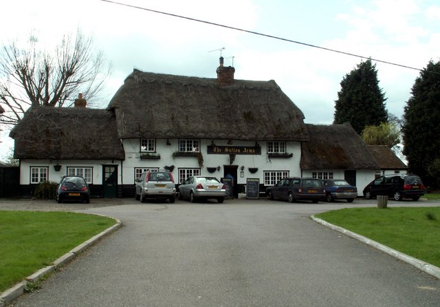
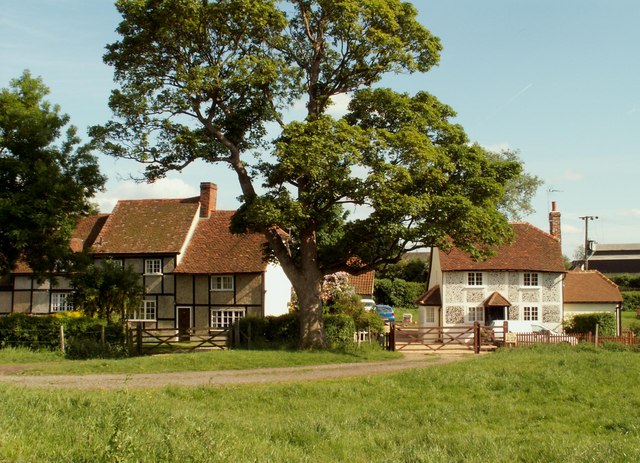
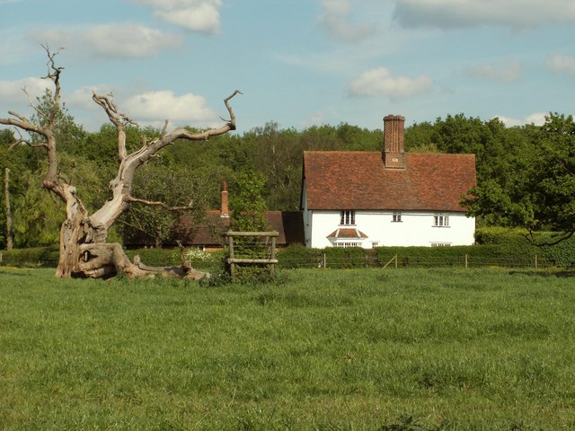
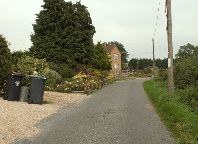
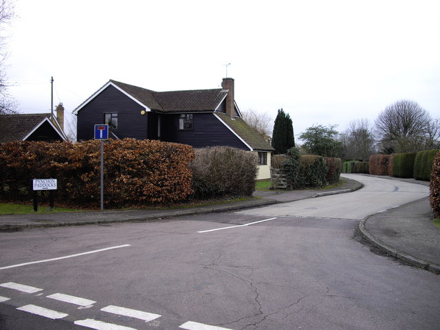
Hallingbury, Little is known for its peaceful and idyllic setting, offering residents and visitors a tranquil retreat from the bustling city life. The village is characterized by its charming traditional cottages and historic buildings, which add to its unique charm.
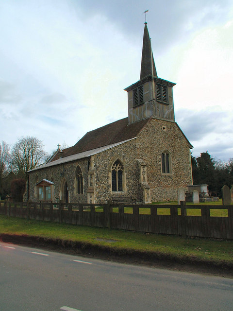
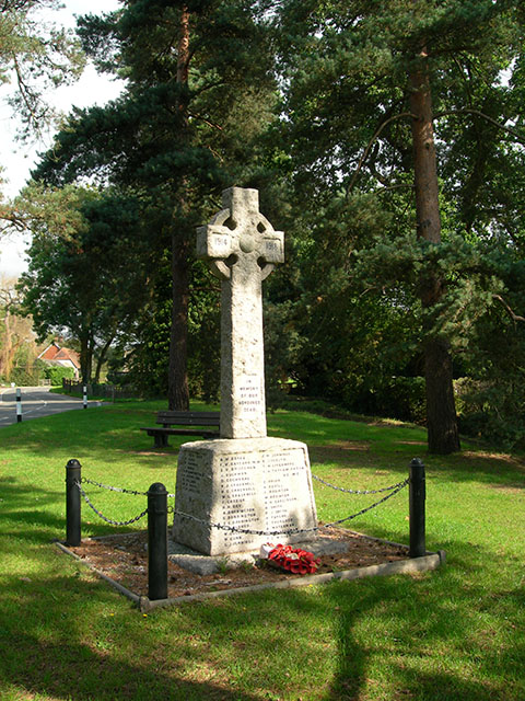
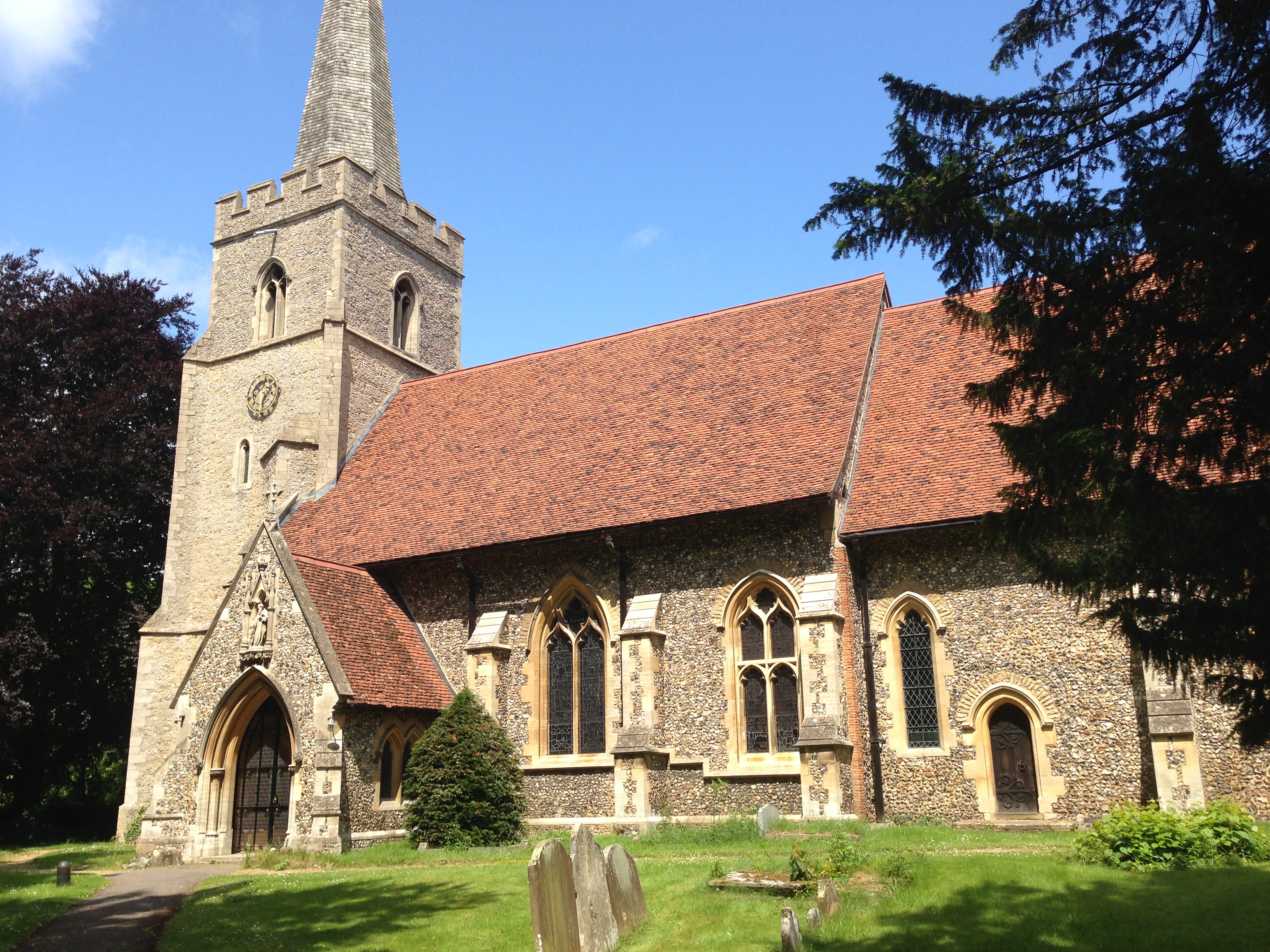
Despite its small size, Hallingbury, Little has a strong sense of community spirit, with various local events and activities bringing residents together. The village boasts a village hall, church, and a primary school, providing essential amenities for its inhabitants.
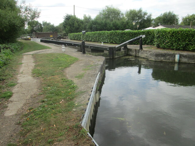
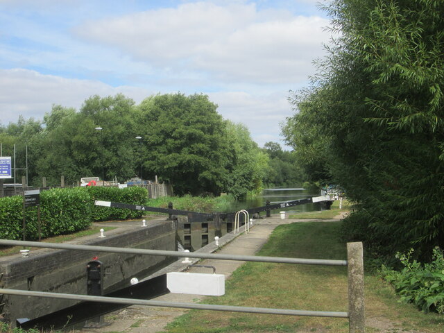
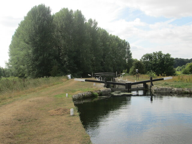
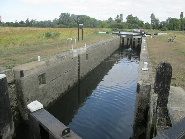
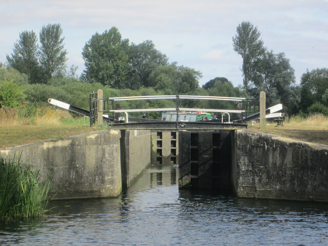
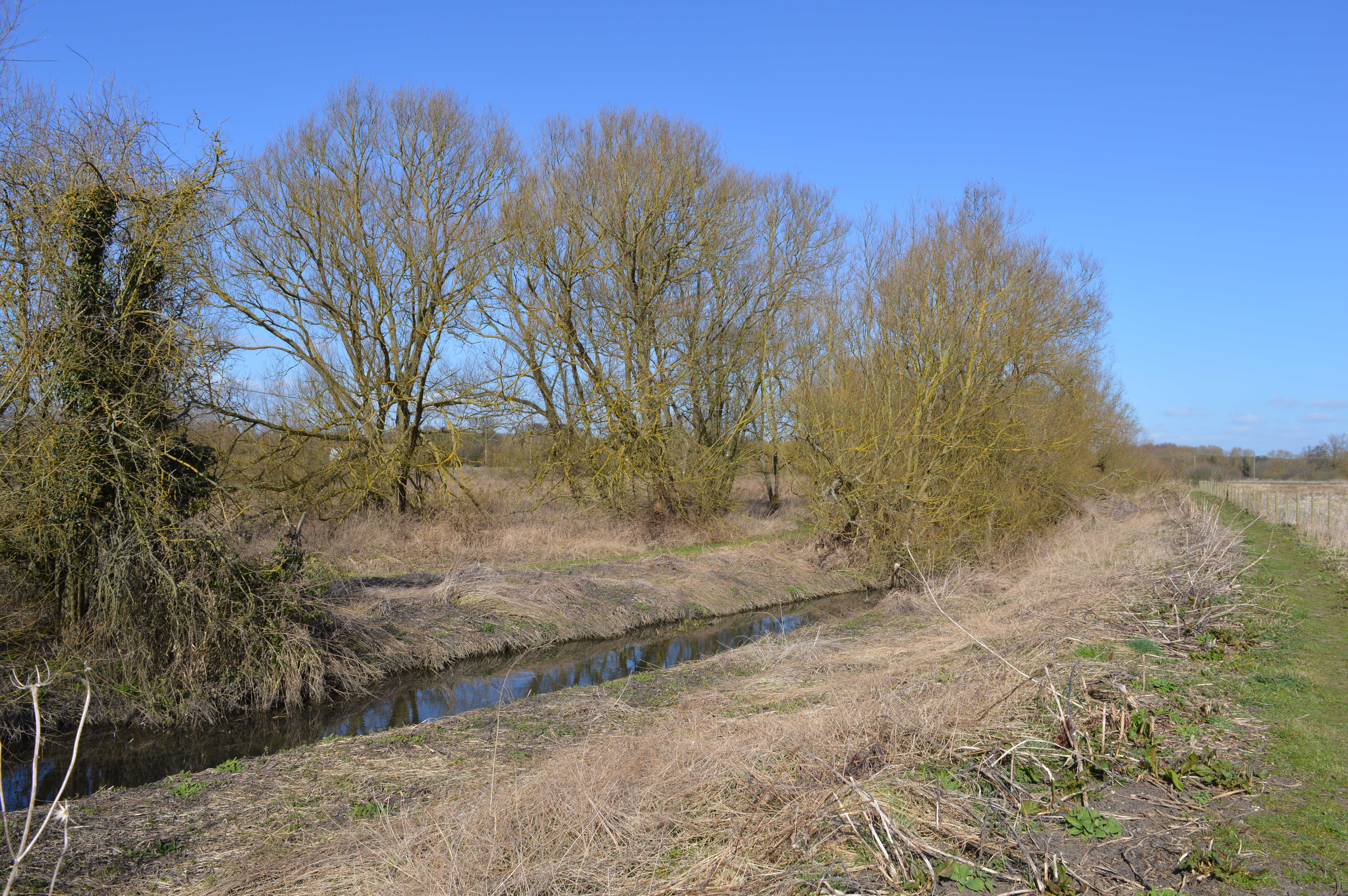
Nature lovers and outdoor enthusiasts will find plenty to enjoy in the surrounding area. The village is located near the Hallingbury Lakes, a series of former gravel pits that have been transformed into a nature reserve. The lakes offer opportunities for fishing, birdwatching, and leisurely walks along the water's edge.
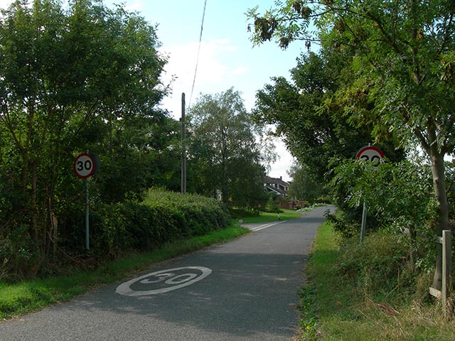
Transportation links in Hallingbury, Little are convenient, with several major roads nearby, including the M11 motorway, providing easy access to London and other parts of Essex. The village is also served by several bus routes, connecting it to nearby towns and villages.
In summary, Hallingbury, Little is a charming and peaceful village in Essex, offering a close-knit community, beautiful countryside, and convenient access to both rural and urban amenities.
If you have any feedback on the listing, please let us know in the comments section below.
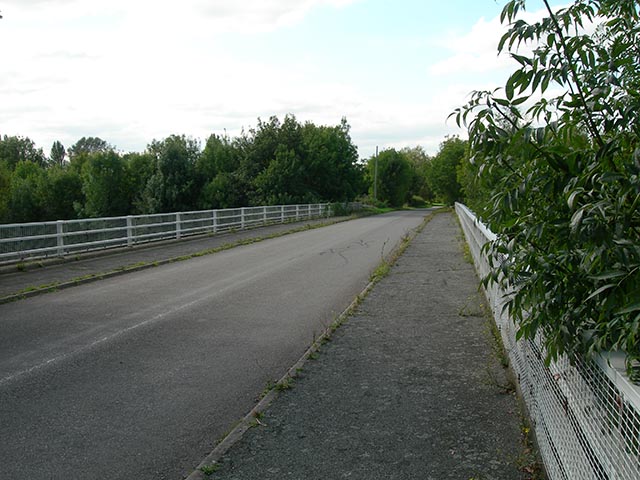
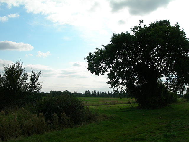
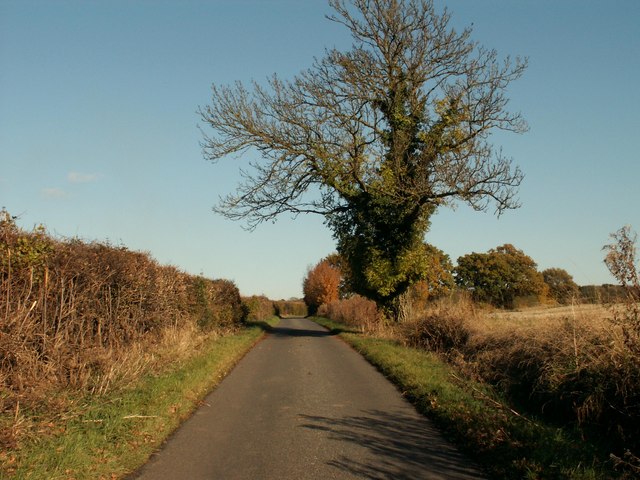
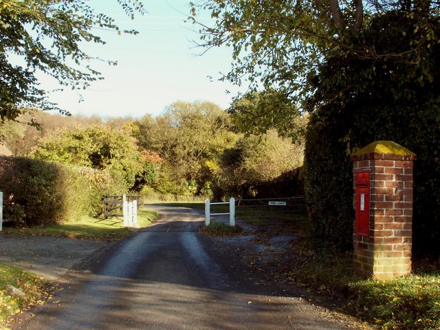
Hallingbury, Little Images
Images are sourced within 2km of 51.835088/0.179026 or Grid Reference TL5017. Thanks to Geograph Open Source API. All images are credited.

Hallingbury, Little is located at Grid Ref: TL5017 (Lat: 51.835088, Lng: 0.179026)
Administrative County: Essex
District: Uttlesford
Police Authority: Essex
What 3 Words
///combining.glare.stick. Near Little Hallingbury, Essex
Nearby Locations
Related Wikis

Little Hallingbury
Little Hallingbury is a small village and a civil parish in the Uttlesford district of Essex, England. == Geography == Little Hallingbury parish is on...
Great Hallingbury
Great Hallingbury is a village and a civil parish in the Uttlesford District of Essex, England. The population of the civil parish at the 2011 census was...

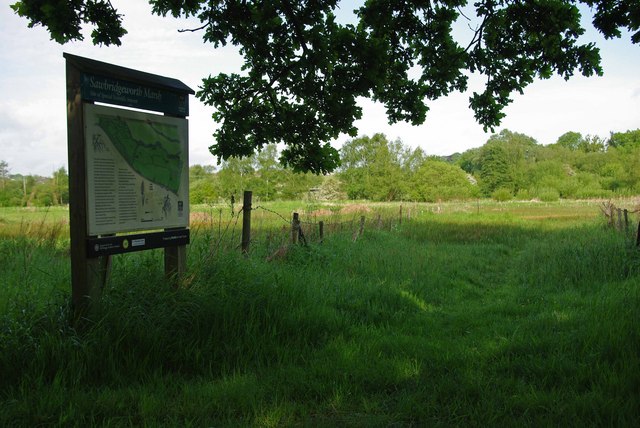
Little Hallingbury Marsh
Little Hallingbury Marsh is a 4.5-hectare (11-acre) biological Site of Special Scientific Interest adjacent to the River Stort, west of Little Hallingbury...

Spelbrook railway station
Spelbrook railway station, also known as Spellbrook railway station, Spelbroke railway station and Spillbrook railway station served the hamlet of Spellbrook...
Thorley Wash nature reserve
Thorley Wash or Thorley Flood Pound is a 17.3-hectare biological Site of Special Scientific Interest in Thorley, south of Bishop's Stortford in Hertfordshire...

Spellbrook
Spellbrook is a hamlet in Hertfordshire, situated between Bishop's Stortford and Sawbridgeworth. == Location == Spellbrook is one mile south of Bishop...
Sawbridgeworth Marsh
Sawbridgeworth Marsh is a 6.3-hectare (16-acre) biological Site of Special Scientific Interest (SSSI) near Sawbridgeworth in Hertfordshire, apart from...
Bedlar's Green
Bedlar's Green is a hamlet in the Uttlesford district of Essex, England adjacent to the village of Great Hallingbury.
Nearby Amenities
Located within 500m of 51.835088,0.179026Have you been to Hallingbury, Little?
Leave your review of Hallingbury, Little below (or comments, questions and feedback).