Rectory Wood

Downs, Moorland in Essex Uttlesford

England

Rectory Wood

Rickling Church
Rickling Church Credit: Terry Butcher

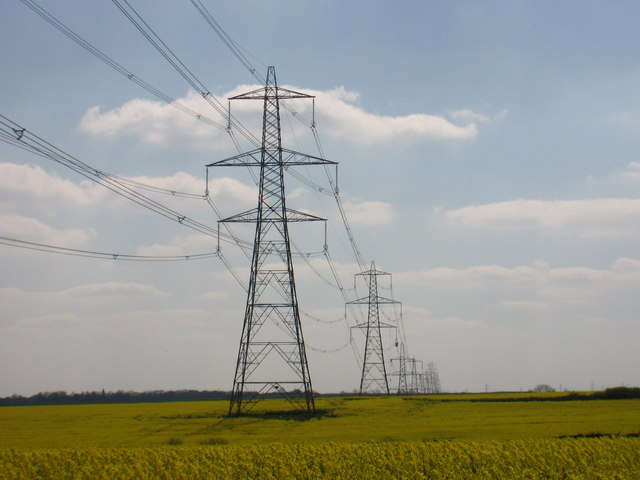
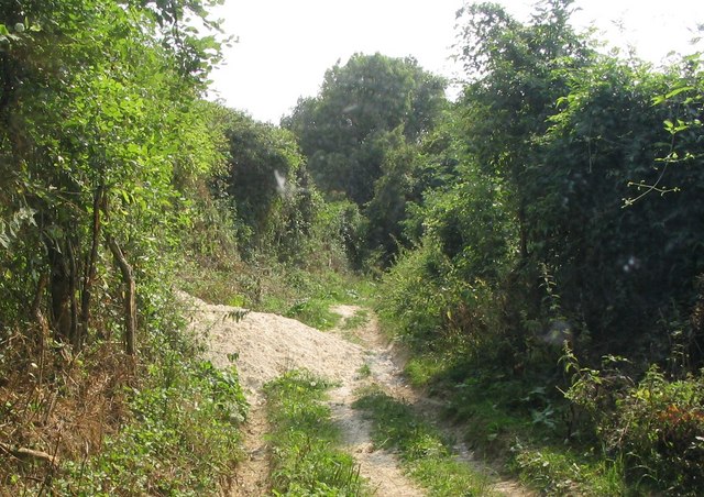
Rectory Wood, located in Essex, England, is a charming and picturesque woodland area encompassing an area of approximately 50 acres. Situated amidst the beautiful countryside, the wood offers a serene and tranquil escape from the hustle and bustle of everyday life.

Rectory Wood is known for its diverse range of flora and fauna, making it a popular destination for nature enthusiasts and wildlife lovers. The wood boasts a variety of tree species, including oak, beech, and birch, which create a dense canopy overhead, providing shade and shelter for the abundant wildlife that calls this place home. The forest floor is covered with a lush carpet of ferns, bluebells, and wildflowers, adding to the natural beauty of the woodland.

Visitors to Rectory Wood can enjoy a leisurely stroll along the well-maintained footpaths that wind their way through the wood, allowing for a peaceful and immersive experience in nature. The wood also features several picnic spots, perfect for a relaxing lunch or a moment of quiet reflection.

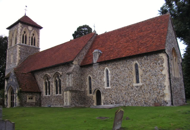
In addition to its natural beauty, Rectory Wood holds historical significance, with remnants of an old rectory still visible within the woodland. These historical features add a touch of intrigue and charm to the overall ambiance of the area.

Overall, Rectory Wood in Essex is a hidden gem, offering a serene and idyllic setting for nature lovers and those seeking a peaceful retreat in the heart of the English countryside.

If you have any feedback on the listing, please let us know in the comments section below.
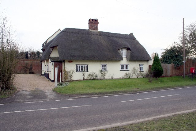
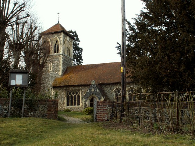
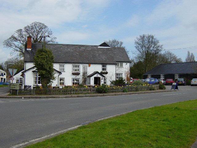
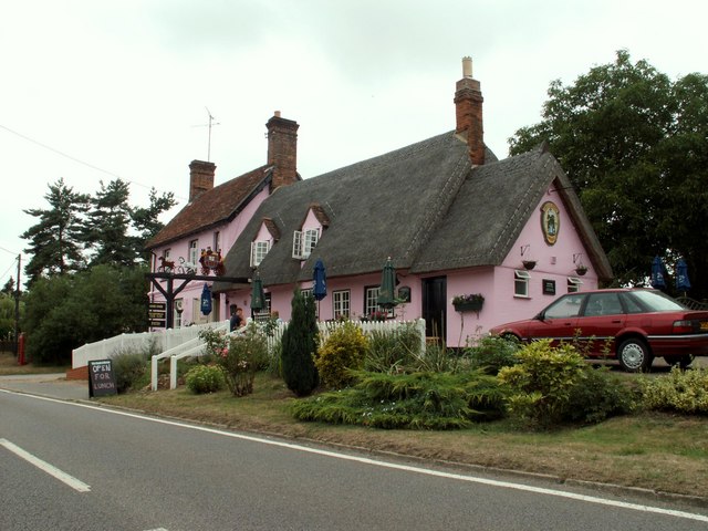
Rectory Wood Images

Images are sourced within 2km of 51.974005/0.18434752 or Grid Reference TL5032. Thanks to Geograph Open Source API. All images are credited.

Rickling Church
Rickling Church
Thatched cottage in Wicken Bonhunt
St. Margaret's church, Wicken Bonhunt, Essex Apart from the 13th century chancel, this church was a complete rebuild in 1858-9 and designed by John Hanson Sperling.
St. Margaret's church, Wicken Bonhunt, Essex
Apart from the 13th century chancel, this church was a complete rebuild in 1858-9 and designed by John Hanson Sperling.
The Cricketers, Clavering This is the childhood home of chef Jamie Oliver and he learnt to cook here at the age of eight. The Cricketers is still owned by Jamie Olivers parents Trevor and Sally Oliver.
<span class="nowrap"><a title="http://www.design-digerati.com/the_cricketers/restaurant.asp" rel="nofollow ugc noopener" href="http://www.design-digerati.com/the_cricketers/restaurant.asp">Link</a><img style="margin-left:2px;" alt="External link" title="External link - shift click to open in new window" src="https://s1.geograph.org.uk/img/external.png" width="10" height="10"/></span>
The Cricketers, Clavering
This is the childhood home of chef Jamie Oliver and he learnt to cook here at the age of eight. The Cricketers is still owned by Jamie Olivers parents Trevor and Sally Oliver. LinkExternal link
Arable Land and pylons, Hill Green Looking towards Hill Green from Clavering triangulation pillar.
Arable Land and pylons, Hill Green
Looking towards Hill Green from Clavering triangulation pillar.
'Coach & Horses' inn, Wicken Bonhunt, Essex The carved wooden sign that stands out from the inn, as seen in the photo, used to be right across the width of the road some years ago.
'Coach & Horses' inn, Wicken Bonhunt, Essex
The carved wooden sign that stands out from the inn, as seen in the photo, used to be right across the width of the road some years ago.
Rickling Road This is the view as you leave Wicken Bonhunt.
Rickling Road
This is the view as you leave Wicken Bonhunt.
Clavering An endless sea of winter wheat stretches away from where the footpath from Clavering to Coldhams Farm just clips across the north-western corner of this grid square. The electricity transmission line runs from Pelham sub-station to Walpole sub-station.
Clavering
An endless sea of winter wheat stretches away from where the footpath from Clavering to Coldhams Farm just clips across the north-western corner of this grid square. The electricity transmission line runs from Pelham sub-station to Walpole sub-station.
Rickling: All Saints Church There are few houses near this isolated thirteenth century church, but it is a popular venue for weddings including that of local celebrity chef Jamie Oliver and his bride, Juliette Norton, in June 2000. The BBC news article for the event is here <span class="nowrap"><a title="http://news.bbc.co.uk/1/hi/entertainment/803555.stm" rel="nofollow ugc noopener" href="http://news.bbc.co.uk/1/hi/entertainment/803555.stm">Link</a><img style="margin-left:2px;" alt="External link" title="External link - shift click to open in new window" src="https://s1.geograph.org.uk/img/external.png" width="10" height="10"/></span>
Rickling: All Saints Church
There are few houses near this isolated thirteenth century church, but it is a popular venue for weddings including that of local celebrity chef Jamie Oliver and his bride, Juliette Norton, in June 2000. The BBC news article for the event is here LinkExternal link
Clavering Triangulation Pillar In "celebration" of the fact that in November 2006 the Ordnance Survey have finally decided to make available all their co-ordinate and height data for triangulation points and bench marks free of charge on line, here is an image of a totally non-descript pillar skulking away under a hedge. Looking at its rural isolation and the dense growth of the hedge I wonder when it was last used for its true purpose!

As a link to the OS site the original archive OSGB36 National Grid co-ordinates and the height of the flush bracket on the pillar above Ordnance Survey Datum Newlyn can be found by typing the grid square into the relevant page selected from here  <span class="nowrap"><a title="http://benchmarks.ordnancesurvey.co.uk/pls/htmldb/f?p=111" rel="nofollow ugc noopener" href="http://benchmarks.ordnancesurvey.co.uk/pls/htmldb/f?p=111">Link</a><img style="margin-left:2px;" alt="External link" title="External link - shift click to open in new window" src="https://s1.geograph.org.uk/img/external.png" width="10" height="10"/></span>
Clavering Triangulation Pillar
In "celebration" of the fact that in November 2006 the Ordnance Survey have finally decided to make available all their co-ordinate and height data for triangulation points and bench marks free of charge on line, here is an image of a totally non-descript pillar skulking away under a hedge. Looking at its rural isolation and the dense growth of the hedge I wonder when it was last used for its true purpose! As a link to the OS site the original archive OSGB36 National Grid co-ordinates and the height of the flush bracket on the pillar above Ordnance Survey Datum Newlyn can be found by typing the grid square into the relevant page selected from here LinkExternal link
Rickling: Coldhams This view was taken from the very south-western corner of the grid square looking towards Coldhams. The current OS mapping shows two farms here, Moat Farm and Coldhams Farm, but the 1881 OS mapping shows just the farm at what is today's Moat Farm, but called Coldhams. Today's Coldhams Farm did not exist then.
Rickling: Coldhams
This view was taken from the very south-western corner of the grid square looking towards Coldhams. The current OS mapping shows two farms here, Moat Farm and Coldhams Farm, but the 1881 OS mapping shows just the farm at what is today's Moat Farm, but called Coldhams. Today's Coldhams Farm did not exist then.
Electricity pylons across open farmland
A short country lane leading to Church End Farm
All Saints Church, Rickling, Essex
St Margaret's Church, Wicken Bonhunt, Essex
Thatched cottage in Wicken Bonhunt
Chapel of St. Helen, Bonhunt Farm, Essex Standing in the grounds of Bonhunt farm, near Newport, is the small Chapel of St. Helen. It's a complete Norman structure with a thatched roof.
Chapel of St. Helen, Bonhunt Farm, Essex
Standing in the grounds of Bonhunt farm, near Newport, is the small Chapel of St. Helen. It's a complete Norman structure with a thatched roof.
Byway from St Helen's Chapel to Rickling Church This section of byway is surrounded by farmland and woodland. Its route is lined by thick hedge and passes through the chalk land in ancient deep cuttings. In this photograph badgers have covered the byway with chalk making passage quite tricky.
Byway from St Helen's Chapel to Rickling Church
This section of byway is surrounded by farmland and woodland. Its route is lined by thick hedge and passes through the chalk land in ancient deep cuttings. In this photograph badgers have covered the byway with chalk making passage quite tricky.
Show me another place!

Rectory Wood is located at Grid Ref: TL5032 (Lat: 51.974005, Lng: 0.18434752)

Administrative County: Essex

District: Uttlesford

Police Authority: Essex

What 3 Words

///tender.flicks.melts. Near Saffron Walden, Essex

Nearby Locations

Rectory Wood

Related Wikis

Chapel of St Helen

Chapel of St Helen (also St Helen's Chapel) is an ancient religious building in Wicken Bonhunt, north-west Essex. It dates from around the 11th century...

Rickling, Essex

Rickling is a village and former civil parish, now in the parish of Quendon and Rickling, in the Uttlesford district of Essex, England. The village is...

Saffron Walden Rural District

Saffron Walden Rural District was a rural district in the county of Essex, England. It was created in 1894 and later enlarged by the addition of the parishes...

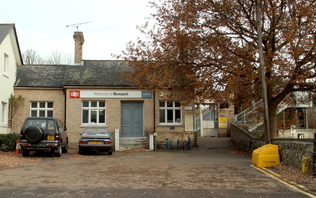
Newport railway station (Essex)

Newport railway station is on the West Anglia Main Line serving the village of Newport in Essex, England. It is 39 miles 72 chains (64.2 km) down the line...

Newport, Essex

Newport is a large village and civil parish in the Uttlesford district in Essex, near Saffron Walden. The village has a population of over 2,000, measured...

Arkesden

Arkesden is a village and civil parish in the Uttlesford district of Essex, England. The village is 4.3 miles (7 km) south-west from Saffron Walden, approximately...

Quendon

Quendon is a linear village and former civil parish, now in the parish of Quendon and Rickling, in the Uttlesford district, in the county of Essex, England...

Joyce Frankland Academy

Joyce Frankland Academy, Newport, formerly Newport Free Grammar School, is a school in Newport, Essex, England. It was founded in 1588. The school is a...

Nearby Amenities

Located within 500m of 51.974005,0.18434752
Bus Stop
Coach and Horses
Bus: yes
Naptan AtcoCode: 150018003012
Naptan Bearing: SW
Naptan BusStopType: CUS
Naptan CommonName: Coach and Horses
Naptan Indicator: Opp
Naptan Landmark: Coach and Horses
Naptan NaptanCode: esxdawdt
Naptan Street: B1038 Wicken Road
Naptan Verified: no
Public Transport: platform
Source: naptan_import
Lat/Long: 51.9778292/0.1818258
Bus Stop
Coach and Horses
Bus: yes
Naptan AtcoCode: 1500IM2096
Naptan Bearing: NE
Naptan BusStopType: CUS
Naptan CommonName: Coach and Horses
Naptan Indicator: o/s
Naptan Landmark: Coach and Horses
Naptan NaptanCode: esxadmwm
Naptan Street: B1038 Wicken Road
Naptan Verified: no
Public Transport: platform
Source: naptan_import
Lat/Long: 51.9774589/0.1810157
Restaurant
Ananta
Addr Housename: Coach & Horses
Addr Postcode: CB11 3UG
Addr Street: Wicken Road
Cuisine: thai
Website: http://www.thaifoodpub.com
Wikidata: Q26563938
Lat/Long: 51.9779094/0.1816584
Telephone
Defibrillator
Booth: K6
Covered: booth
Defibrillator Location: inside red telephone box, near what was pub, Wicken Bonhunt
Emergency: defibrillator
Man Made: telephone_box
Lat/Long: 51.9776734/0.1813545
Bench
Lat/Long: 51.9777071/0.1814023
The data included in this document is from www.openstreetmap.org. The data is made available under ODbL.

Have you been to Rectory Wood?

Leave your review of Rectory Wood below (or comments, questions and feedback).