Halfyard Common
Downs, Moorland in Hertfordshire East Hertfordshire
England
Halfyard Common
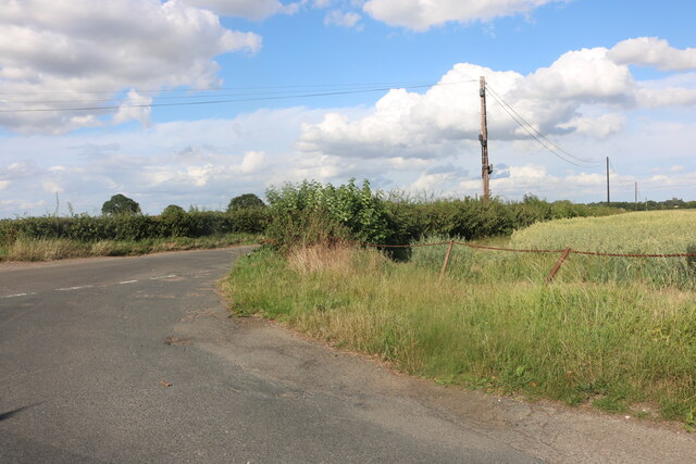
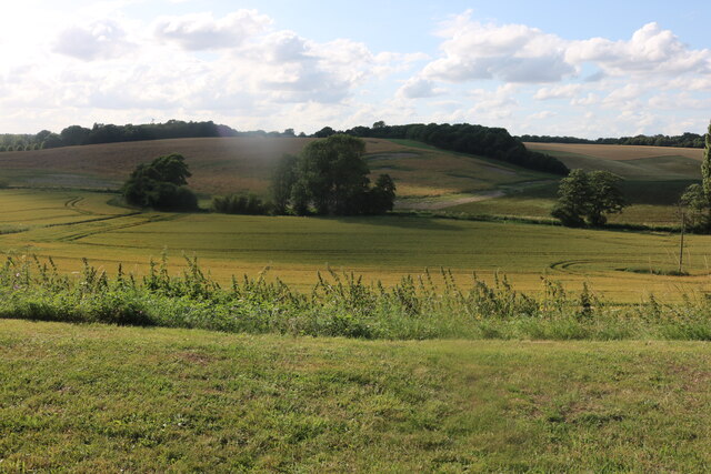
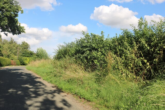
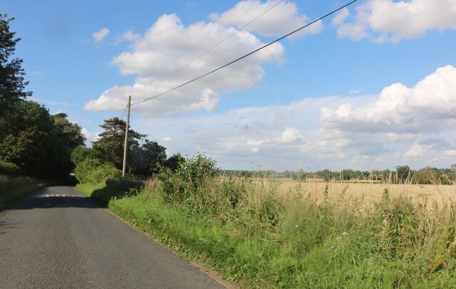
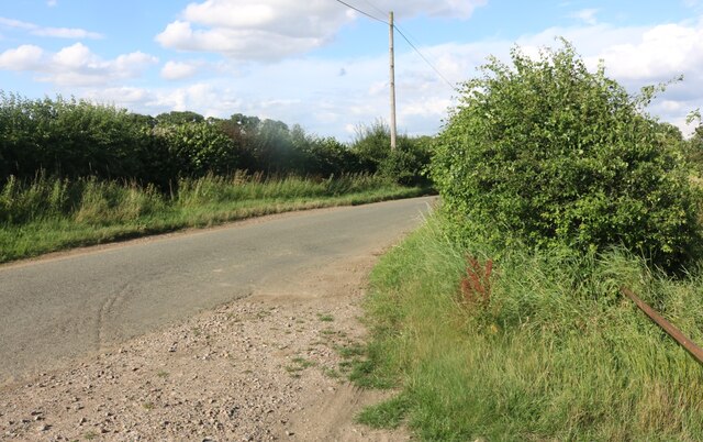
Halfyard Common is a picturesque area located in Hertfordshire, England. It is a combination of downs and moorland, offering a diverse and unique landscape for visitors to explore. Covering an area of approximately 100 hectares, the common is characterized by its rolling hills, open grasslands, and heathland.
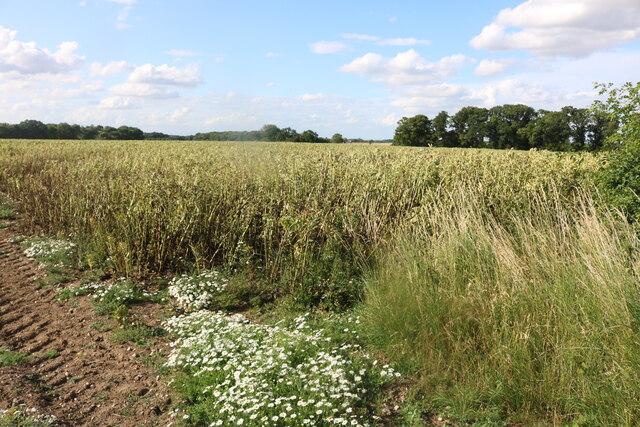
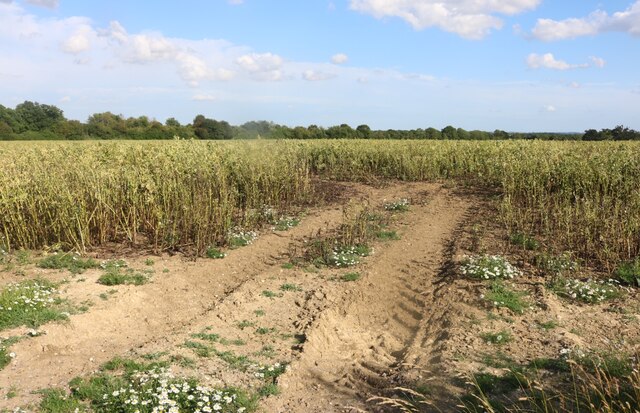
The common is home to a variety of flora and fauna, making it an important site for conservation. Visitors can expect to see an array of wildflowers, including heather, gorse, and orchids, which add vibrant colors to the landscape. The moorland habitat attracts a wide range of bird species, such as skylarks, meadow pipits, and stonechats, making it a popular spot for birdwatchers.
Walking trails crisscross the common, allowing visitors to explore its natural beauty at their own pace. The trails offer stunning views of the surrounding countryside, including the distant Chiltern Hills. On clear days, it is even possible to catch a glimpse of London's skyline.
Halfyard Common is also steeped in history. It has evidence of prehistoric settlements, with archaeological finds dating back thousands of years. The common was once used for grazing livestock and has remnants of old boundaries and field systems.
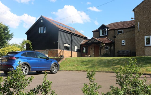
The area is easily accessible, with parking facilities available nearby. It is a peaceful and tranquil place, perfect for those seeking a break from the hustle and bustle of urban life. Whether it's a leisurely walk, birdwatching, or simply enjoying the natural beauty, Halfyard Common offers something for everyone.
If you have any feedback on the listing, please let us know in the comments section below.
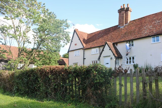
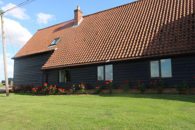
Halfyard Common Images
Images are sourced within 2km of 51.842058/0.022022646 or Grid Reference TL3917. Thanks to Geograph Open Source API. All images are credited.


Halfyard Common is located at Grid Ref: TL3917 (Lat: 51.842058, Lng: 0.022022646)
Administrative County: Hertfordshire
District: East Hertfordshire
Police Authority: Hertfordshire
What 3 Words
///rent.dance.finely. Near Much Hadham, Hertfordshire
Nearby Locations
Related Wikis

Cold Christmas
Cold Christmas is a small hamlet in the civil parish of Thundridge, in the East Hertfordshire district, in the county of Hertfordshire, England. It is...
Barwick, Hertfordshire
Barwick, Great Barwick, and Little Barwick (Berewyk 14th century, and Barrack 19th century) are hamlets in the civil parish of Standon in Hertfordshire...

Wareside
Wareside is a small village and civil parish in the East Hertfordshire district, in the county of Hertfordshire, England. The population of the civil parish...
Widford railway station
Widford railway station served the village of Widford, Hertfordshire, England, from 1863 to 1964 on the Buntingford branch line. == History == The station...

Youngsbury
Youngsbury House is a Grade II listed house near Wadesmill, Hertfordshire, England. The stable block is Grade II* listed.The house was built in about 1745...

Hertford and Stortford (UK Parliament constituency)
Hertford and Stortford is a constituency currently represented in the House of Commons of the UK Parliament since 2019 by Julie Marson of the Conservative...

Hadham railway station
Hadham railway station served the village of Much Hadham, Hertfordshire, England, from 1863 to 1965 on the Buntingford branch line. == History == The station...

Moor Place, Hertfordshire
Moor Place is a country house within the civil parish of Much Hadham, in the East Hertfordshire district, in the county of Hertfordshire, England. It is...
Nearby Amenities
Located within 500m of 51.842058,0.022022646Have you been to Halfyard Common?
Leave your review of Halfyard Common below (or comments, questions and feedback).