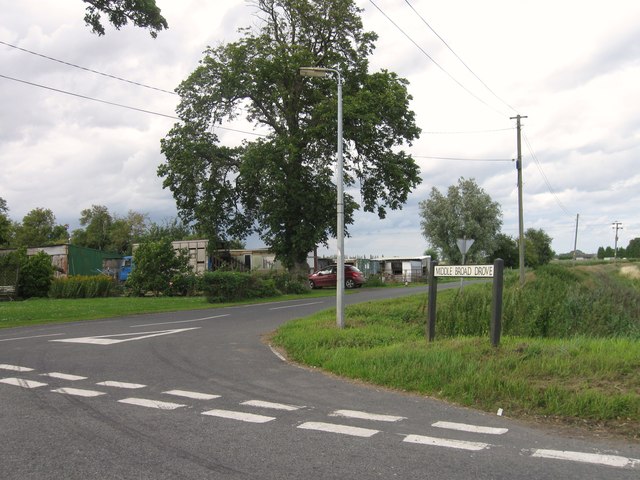
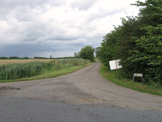
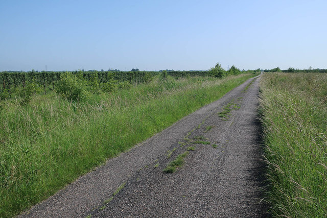
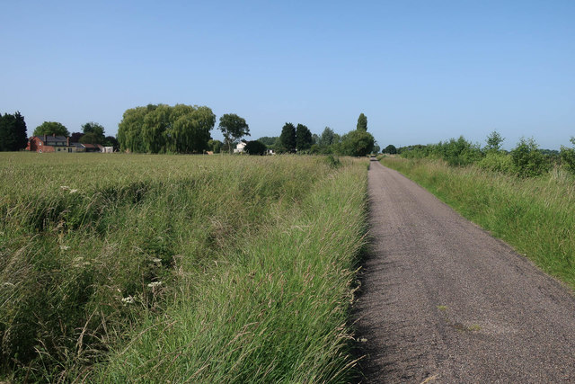
Broad Drove Field
Downs, Moorland in Cambridgeshire Fenland
England
Broad Drove Field

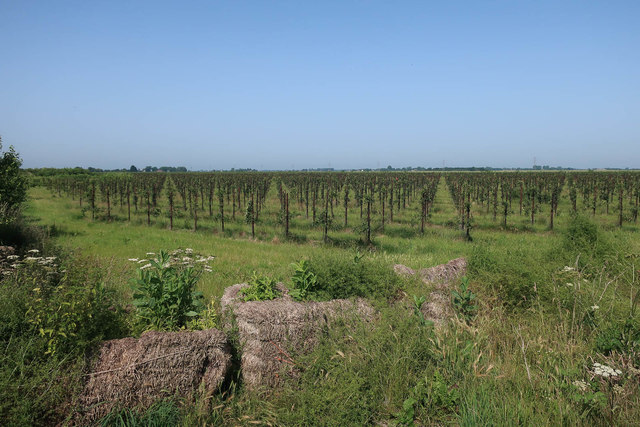
Broad Drove Field is a vast expanse of open land located in Cambridgeshire, England. Stretching across rolling hills and moorland, the field covers a significant area, providing a picturesque and serene environment. It is situated in a rural part of Cambridgeshire, away from the hustle and bustle of urban life.
The field is characterized by its lush green vegetation, which includes a variety of grasses, wildflowers, and shrubs. The diverse plant life supports a rich ecosystem, attracting numerous species of birds, insects, and small mammals. This makes it a popular spot for wildlife enthusiasts and birdwatchers.
Broad Drove Field is intersected by several footpaths and trails, offering visitors the opportunity to explore its natural beauty on foot or by bike. The undulating terrain provides a challenging yet rewarding experience for hikers and cyclists, with breathtaking views of the surrounding countryside.
The field also holds historical significance, as it was once used for agricultural purposes. Evidence of its former use can still be seen in the form of old stone walls and remnants of farm buildings, adding to the charm and character of the area.
Overall, Broad Drove Field is a tranquil and captivating destination, offering visitors a chance to immerse themselves in the beauty of nature. Whether for leisurely walks, wildlife spotting, or simply enjoying the peaceful atmosphere, this Cambridgeshire gem is a haven for those seeking a break from the urban landscape.
If you have any feedback on the listing, please let us know in the comments section below.
Broad Drove Field Images
Images are sourced within 2km of 52.703317/0.060630002 or Grid Reference TF3913. Thanks to Geograph Open Source API. All images are credited.


Broad Drove Field is located at Grid Ref: TF3913 (Lat: 52.703317, Lng: 0.060630002)
Division: Isle of Ely
Administrative County: Cambridgeshire
District: Fenland
Police Authority: Cambridgeshire
What 3 Words
///laughs.axed.excellent. Near Gedney Hill, Lincolnshire
Nearby Locations
Related Wikis
Sutton St Edmund
Sutton St Edmunds is a village and civil parish in the South Holland district of Lincolnshire, England, about 14 miles (23 km) south-east from the town...

Gorefield
Gorefield is a village and civil parish in the Fenland district of Cambridgeshire, England. At the time of the 2001 census, the parish's population was...

Tydd St Giles
Tydd St Giles is a village in Fenland, Cambridgeshire, England. It is the northernmost village in the Isle of Ely, Cambridgeshire (bordering Lincolnshire...

Newton-in-the-Isle
Newton-in-the-Isle is a village and civil parish in the Fenland District of the Isle of Ely, Cambridgeshire, England, The village is 4 miles (6 km) to...

Sutton St James
Sutton St James is a village and civil parish in the South Holland district of Lincolnshire, England, about four miles (6.4 km) south-west of Long Sutton...
St John the Baptist's Church, Parson Drove
St John the Baptist's Church is a redundant Anglican church in the village of Parson Drove, Cambridgeshire, England. It is recorded in the National Heritage...

Grange Farm Arboretum
The Grange Farm Arboretum is a small private arboretum comprising 3 hectares accommodating over 800 trees, mostly native and ornamental species or cultivars...
FC Parson Drove
Football Club Parson Drove is a football club based in Parson Drove, Cambridgeshire, England. They are currently members of the Eastern Counties League...
Related Videos

Luxury home with beautiful views over the fields and countryside
YOU WILL LOVE!!! The gorgeous kitchen/breakfast room, the huge reception spaces, the far-reaching views over the field and ...
Nearby Amenities
Located within 500m of 52.703317,0.060630002Have you been to Broad Drove Field?
Leave your review of Broad Drove Field below (or comments, questions and feedback).