Baker's End
Settlement in Hertfordshire East Hertfordshire
England
Baker's End
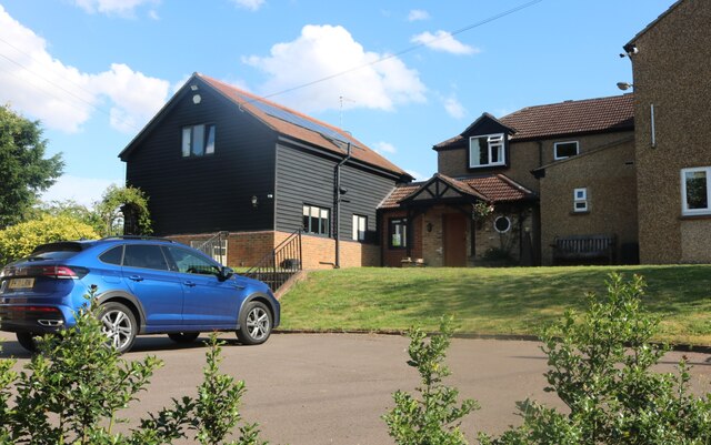
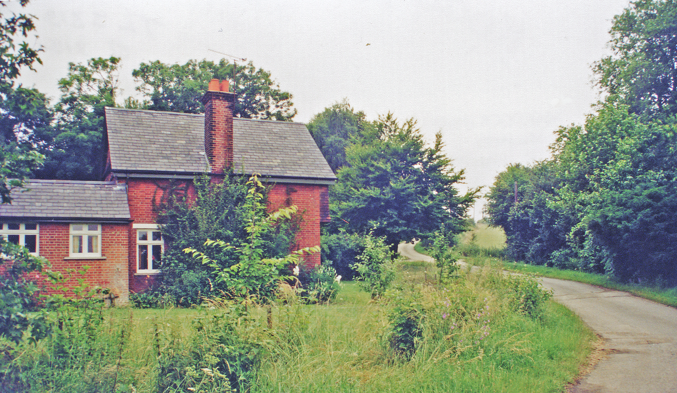
Baker's End is a picturesque village located in the county of Hertfordshire, England. Situated in the East Hertfordshire district, this small community offers a charming and tranquil setting amidst the beautiful English countryside. With a population of around 500 residents, Baker's End exudes a close-knit community feel.
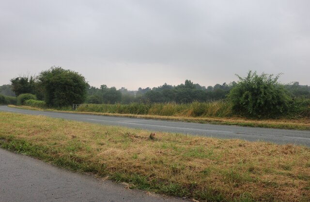
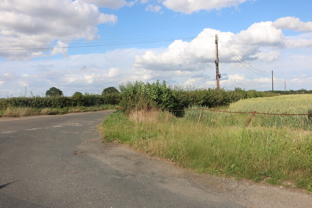
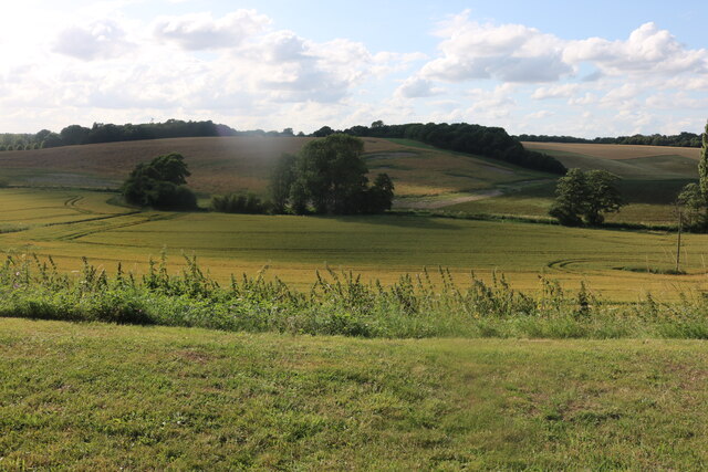
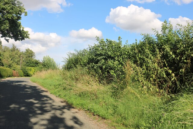
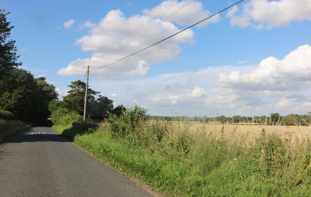
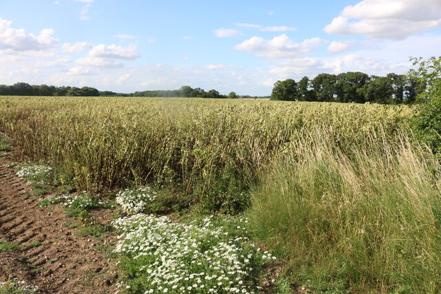
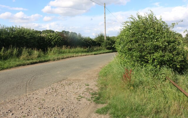
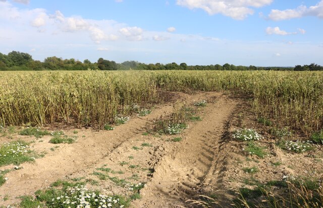
The village is renowned for its idyllic landscapes, characterized by rolling hills, lush green fields, and enchanting woodlands. It is an area of outstanding natural beauty, providing ample opportunities for outdoor activities such as scenic walks, cycling, and horse riding. The nearby River Rib also offers a peaceful spot for fishing and boating.
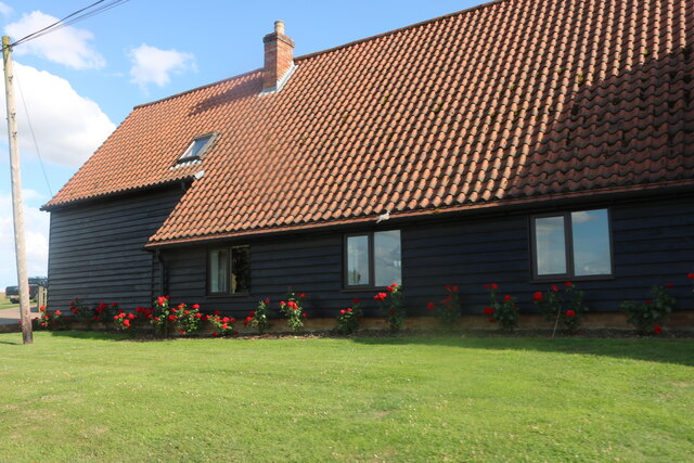
Historically, Baker's End was known for its agricultural roots, with farming playing a significant role in the village's economy. Today, while still retaining its rural charm, the village has embraced modernization, with a handful of small businesses and amenities catering to the local community.
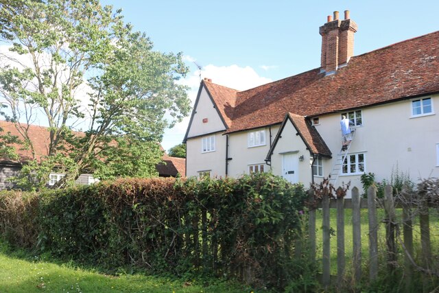
The heart of Baker's End is its village green, a central gathering point for residents and visitors alike. Surrounded by quaint cottages and a few local shops, the green hosts various events and festivals throughout the year, fostering a strong sense of community spirit.
Baker's End boasts a well-regarded primary school, ensuring that children in the area have access to quality education. Additionally, the village is conveniently located near larger towns, such as Hertford and Ware, providing residents with easy access to a wider range of services and amenities.
Overall, Baker's End offers a peaceful and picturesque retreat for those seeking a quintessentially English village experience. Its natural beauty, strong community ties, and convenient location make it an attractive place to call home.
If you have any feedback on the listing, please let us know in the comments section below.
Baker's End Images
Images are sourced within 2km of 51.834744/0.024830167 or Grid Reference TL3917. Thanks to Geograph Open Source API. All images are credited.


Baker's End is located at Grid Ref: TL3917 (Lat: 51.834744, Lng: 0.024830167)
Administrative County: Hertfordshire
District: East Hertfordshire
Police Authority: Hertfordshire
What 3 Words
///future.pirate.novel. Near Much Hadham, Hertfordshire
Nearby Locations
Related Wikis

Wareside
Wareside is a small village and civil parish in the East Hertfordshire district, in the county of Hertfordshire, England. The population of the civil parish...

Cold Christmas
Cold Christmas is a small hamlet in the civil parish of Thundridge, in the East Hertfordshire district, in the county of Hertfordshire, England. It is...
Widford railway station
Widford railway station served the village of Widford, Hertfordshire, England, from 1863 to 1964 on the Buntingford branch line. == History == The station...

Hertford and Stortford (UK Parliament constituency)
Hertford and Stortford is a constituency currently represented in the House of Commons of the UK Parliament since 2019 by Julie Marson of the Conservative...
Mardock railway station
Mardock railway station served the village of Wareside, Hertfordshire, England, from 1863 to 1964 by the Buntingford branch line. == History == The station...
Barwick, Hertfordshire
Barwick, Great Barwick, and Little Barwick (Berewyk 14th century, and Barrack 19th century) are hamlets in the civil parish of Standon in Hertfordshire...

Widford, Hertfordshire
Widford is a village and civil parish between Ware and Much Hadham in the East Hertfordshire district of Hertfordshire in England. It covers an area of...

Youngsbury
Youngsbury House is a Grade II listed house near Wadesmill, Hertfordshire, England. The stable block is Grade II* listed.The house was built in about 1745...
Nearby Amenities
Located within 500m of 51.834744,0.024830167Have you been to Baker's End?
Leave your review of Baker's End below (or comments, questions and feedback).