Chapel Field
Downs, Moorland in Lincolnshire South Holland
England
Chapel Field
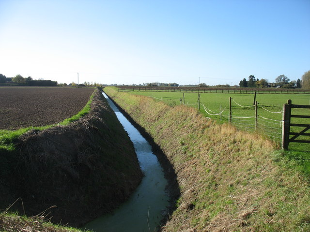
Chapel Field, located in Lincolnshire, is a picturesque area characterized by its unique combination of downs and moorland. Spanning approximately 200 hectares, this diverse landscape offers visitors a captivating experience filled with natural beauty and historical significance.
The downs of Chapel Field are gently rolling hills covered in lush green grass, providing a serene and tranquil atmosphere. These open spaces are perfect for walking, picnicking, or simply enjoying the breathtaking views of the surrounding countryside. The downs are also home to a variety of flora and fauna, including wildflowers, butterflies, and numerous bird species, making it a haven for nature enthusiasts.
In contrast, the moorland of Chapel Field showcases a different side of the area's natural beauty. Here, visitors can explore expansive stretches of heather-covered terrain, dotted with rocky outcrops and peat bogs. This unique habitat supports a range of wildlife, including grouse, curlews, and other moorland birds. The moorland also boasts a rich archaeological history, with ancient burial mounds and stone circles adding an air of mystery to the landscape.
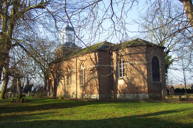
Chapel Field is not only renowned for its natural beauty but also for its historical significance. The area is home to several ancient chapels, hence its name, which were once important religious sites for local communities. These chapels, along with the remnants of medieval settlements and field systems, provide a glimpse into the area's past and offer visitors a chance to connect with history.
Overall, Chapel Field in Lincolnshire is a captivating blend of downs and moorland, offering visitors a chance to immerse themselves in the beauty of nature while exploring its rich historical heritage.
If you have any feedback on the listing, please let us know in the comments section below.
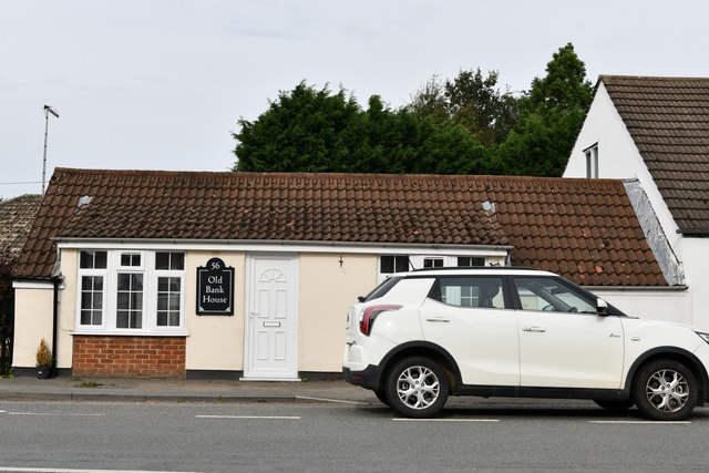
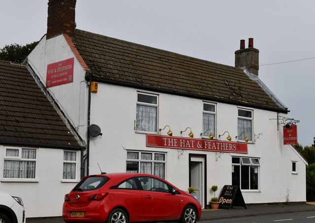
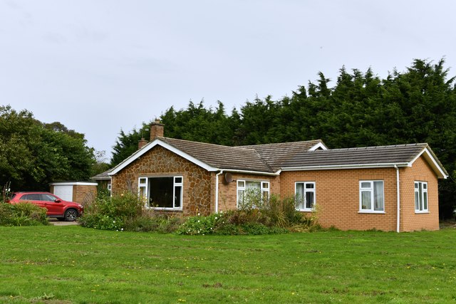
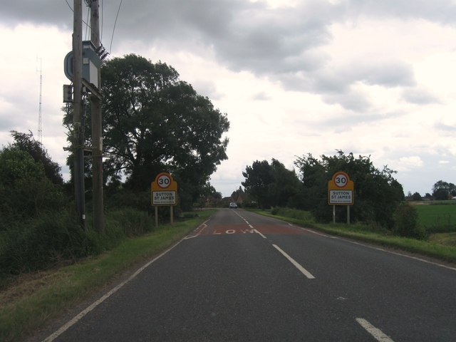
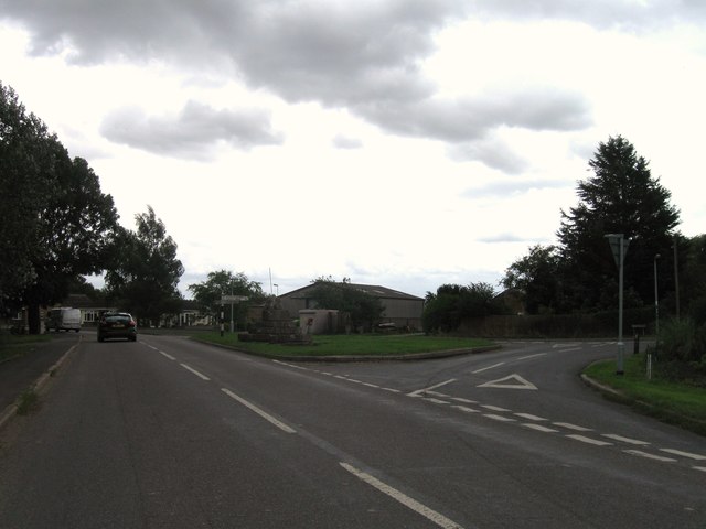
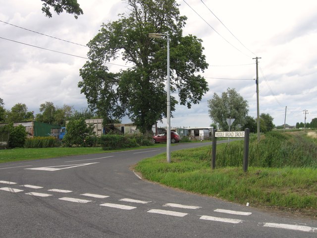
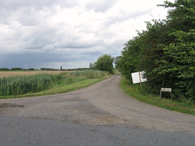
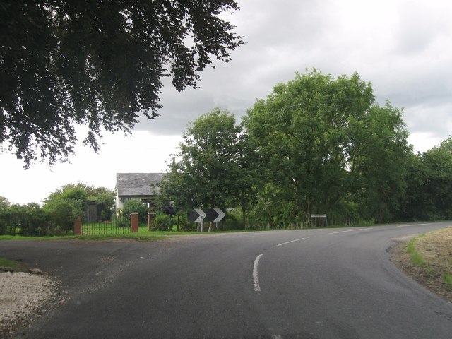
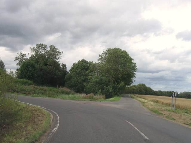
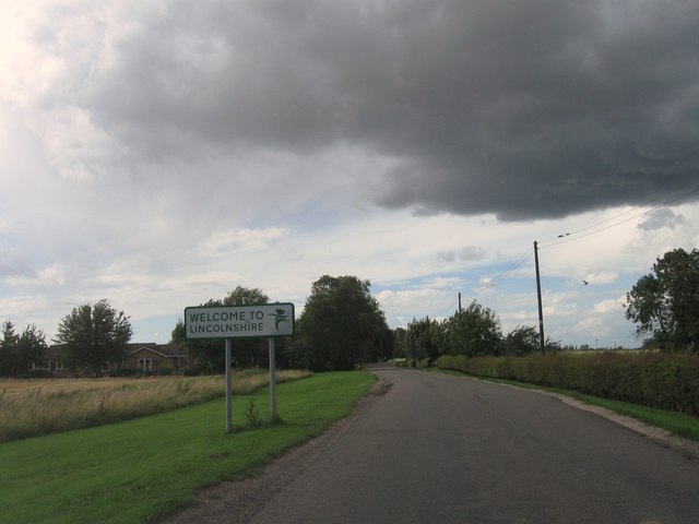
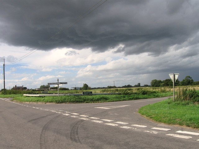
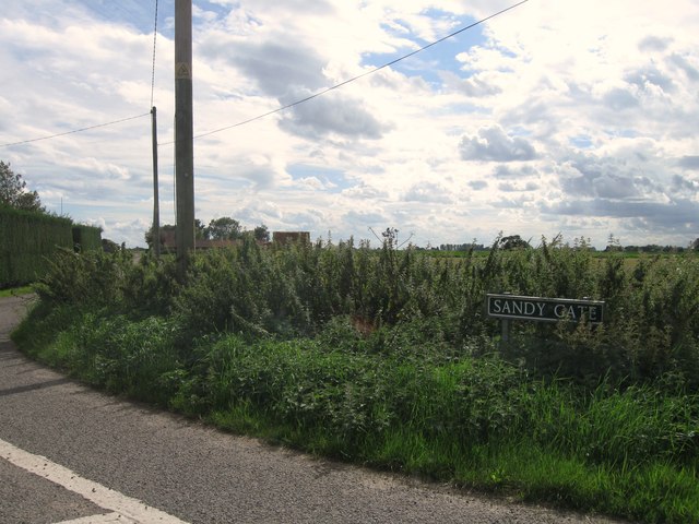
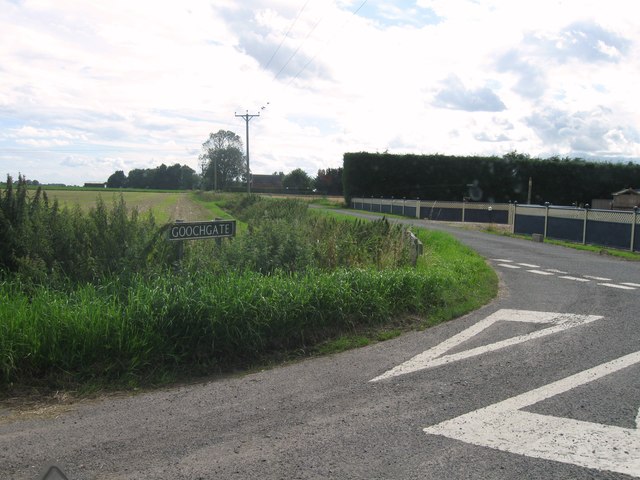
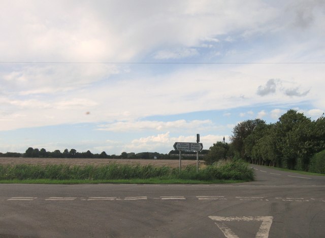
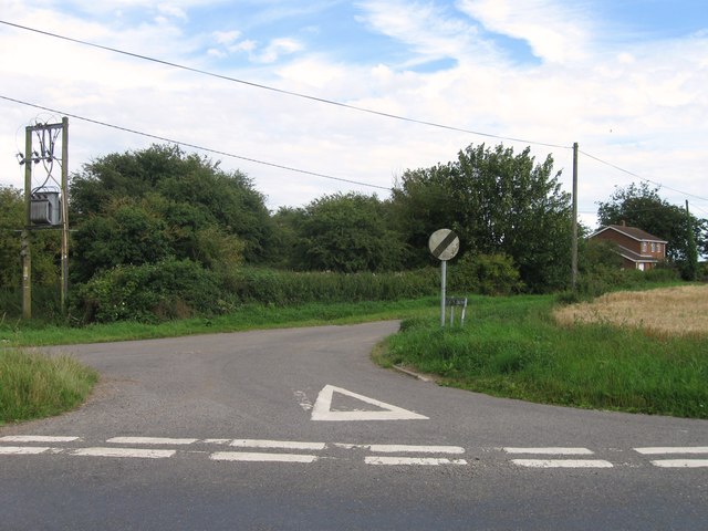
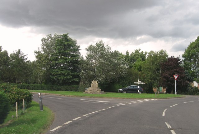
Chapel Field Images
Images are sourced within 2km of 52.727669/0.058845779 or Grid Reference TF3916. Thanks to Geograph Open Source API. All images are credited.
Chapel Field is located at Grid Ref: TF3916 (Lat: 52.727669, Lng: 0.058845779)
Administrative County: Lincolnshire
District: South Holland
Police Authority: Lincolnshire
What 3 Words
///correctly.worthy.supplied. Near Gedney Hill, Lincolnshire
Nearby Locations
Related Wikis

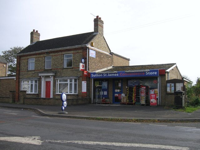
Sutton St James
Sutton St James is a village and civil parish in the South Holland district of Lincolnshire, England, about four miles (6.4 km) south-west of Long Sutton...

Grange Farm Arboretum
The Grange Farm Arboretum is a small private arboretum comprising 3 hectares accommodating over 800 trees, mostly native and ornamental species or cultivars...
Tydd St Giles
Tydd St Giles is a village in Fenland, Cambridgeshire, England. It is the northernmost village in the Isle of Ely, Cambridgeshire (bordering Lincolnshire...
Sutton St Edmund
Sutton St Edmunds is a village and civil parish in the South Holland district of Lincolnshire, England, about 14 miles (23 km) south-east from the town...

Newton-in-the-Isle
Newton-in-the-Isle is a village and civil parish in the Fenland District of the Isle of Ely, Cambridgeshire, England, The village is 4 miles (6 km) to...
Holbeach St Johns
Holbeach St Johns is a small village in South Holland district of Lincolnshire, England. It is situated approximately 4 miles (6 km) south from the town...

Gorefield
Gorefield is a village and civil parish in the Fenland district of Cambridgeshire, England. At the time of the 2001 census, the parish's population was...
Holbeach Fen
Holbeach Fen is a fenland settlement and area in the South Holland district of southern Lincolnshire, England. It is 3 miles (5 km) south from Holbeach...
Nearby Amenities
Located within 500m of 52.727669,0.058845779Have you been to Chapel Field?
Leave your review of Chapel Field below (or comments, questions and feedback).