New Lands
Downs, Moorland in Lincolnshire East Lindsey
England
New Lands

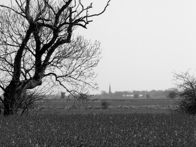
New Lands, Lincolnshire is a picturesque area located in the eastern part of England. It is known for its stunning natural beauty, characterized by rolling downs and expansive moorland. The area is renowned for its diverse landscape, offering visitors a unique and immersive experience.
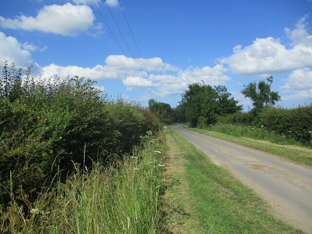
The downs of New Lands are a sight to behold, with their gentle slopes and lush greenery. They provide a perfect backdrop for outdoor activities such as hiking, picnicking, and bird watching. The downs are also home to several species of wildlife, including rabbits, hares, and various bird species, making it a haven for nature enthusiasts.
The moorland of New Lands is equally captivating, with its vast stretches of open land and heather-clad hills. This rugged terrain offers a tranquil escape from the hustle and bustle of city life. Visitors can explore the moorland on foot, taking in the panoramic views and capturing the essence of its untamed beauty.
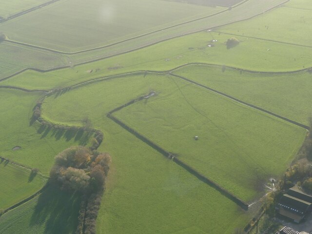
New Lands is also rich in history, with ancient settlements and archaeological sites scattered throughout the area. These remnants of the past provide a fascinating insight into the region's heritage and offer visitors a chance to step back in time.
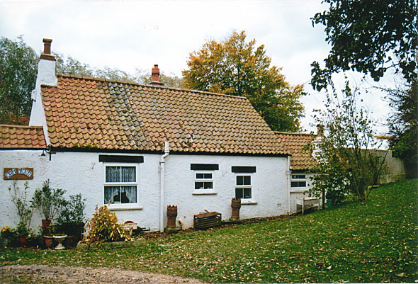
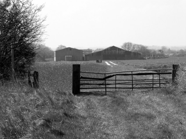
In addition to its natural and historical attractions, New Lands boasts a vibrant community that welcomes visitors with open arms. The area offers a range of amenities, including charming country pubs, cozy bed and breakfasts, and local shops selling artisanal goods.
Overall, New Lands, Lincolnshire is a hidden gem that showcases the best of England's countryside. Its downs, moorland, and rich history make it a must-visit destination for nature lovers, history buffs, and anyone seeking a peaceful retreat.
If you have any feedback on the listing, please let us know in the comments section below.
New Lands Images
Images are sourced within 2km of 53.403437/0.091844605 or Grid Reference TF3991. Thanks to Geograph Open Source API. All images are credited.


New Lands is located at Grid Ref: TF3991 (Lat: 53.403437, Lng: 0.091844605)
Administrative County: Lincolnshire
District: East Lindsey
Police Authority: Lincolnshire
What 3 Words
///moguls.moderated.corn. Near Manby, Lincolnshire
Nearby Locations
Related Wikis
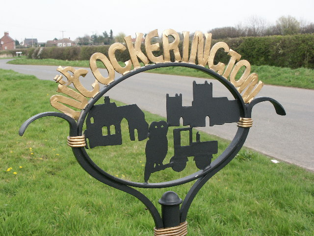
North Cockerington
North Cockerington is a small village and civil parish in the East Lindsey district of Lincolnshire, England. It is situated approximately 3 miles (5 km...

Alvingham Priory
Alvingham Priory was a Gilbertine priory in St. Mary, Alvingham, Lincolnshire, England. The Priory, established between 1148 and 1154, was a "double house...

St Mary's Church, North Cockerington
St Mary's Church is a redundant Anglican church in the village of Alvingham, adjacent to the village of North Cockerington, Lincolnshire, England. It...

South Cockerington
South Cockerington is a village and civil parish in the East Lindsey district of Lincolnshire, England. It is situated approximately 4 miles (6 km) east...
Nearby Amenities
Located within 500m of 53.403437,0.091844605Have you been to New Lands?
Leave your review of New Lands below (or comments, questions and feedback).