How Moor
Downs, Moorland in Cambridgeshire Fenland
England
How Moor
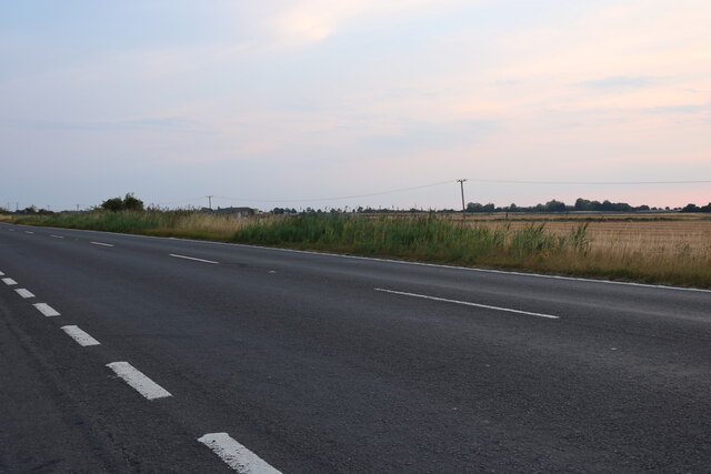
Moor, Cambridgeshire, also known as Downs or Moorland, is a picturesque region located in the county of Cambridgeshire in eastern England. Spread over an area of approximately 240 square kilometers, Moor is characterized by its expansive moorland landscape and rolling hills.
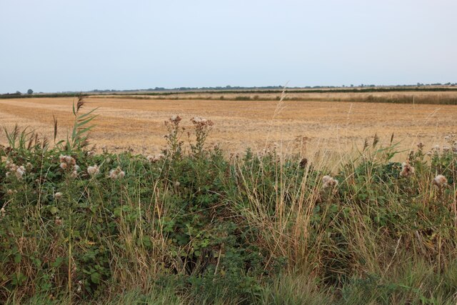
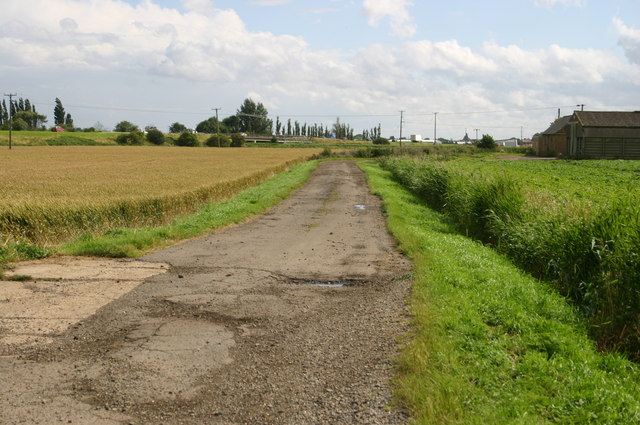
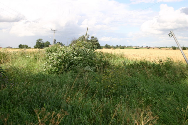
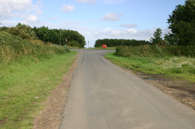
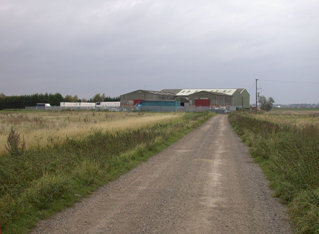
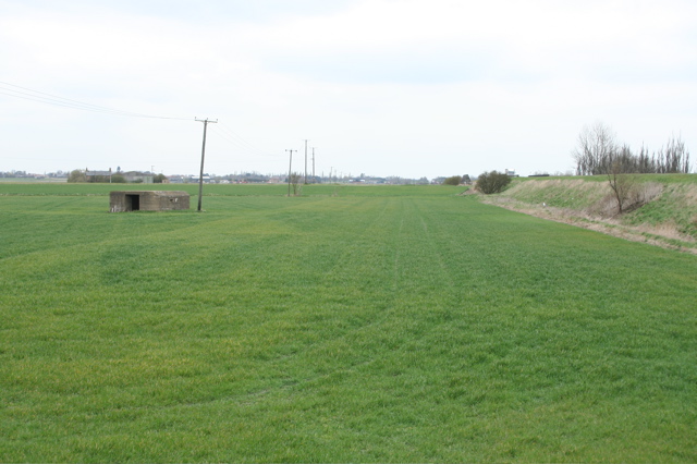
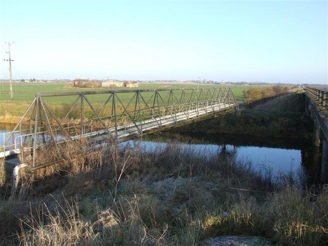
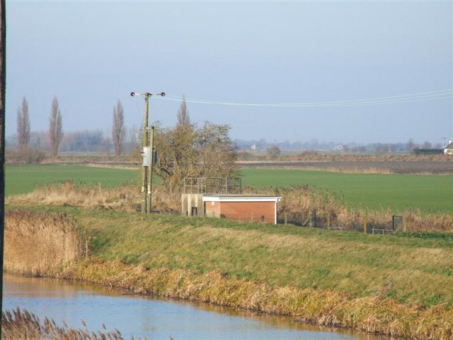
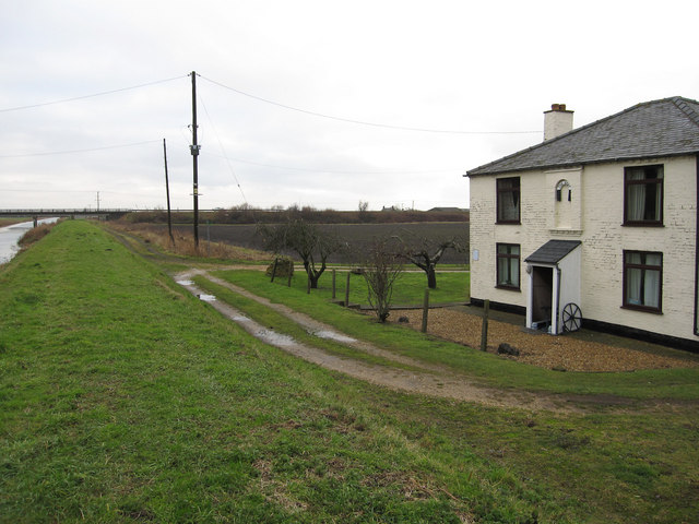
The region is predominantly rural, with scattered small villages and farms dotting the landscape. It is known for its breathtaking natural beauty, with vast open spaces and panoramic views. The terrain is characterized by heathland, peat bogs, and wetlands, creating a diverse habitat for various plant and animal species.
Moor, Cambridgeshire, is home to a rich variety of flora and fauna, including heather, gorse, grasses, and mosses. Wildlife enthusiasts can spot a range of bird species, such as curlews, skylarks, and hen harriers. The area also supports a population of rare and protected species, including adders and water voles.
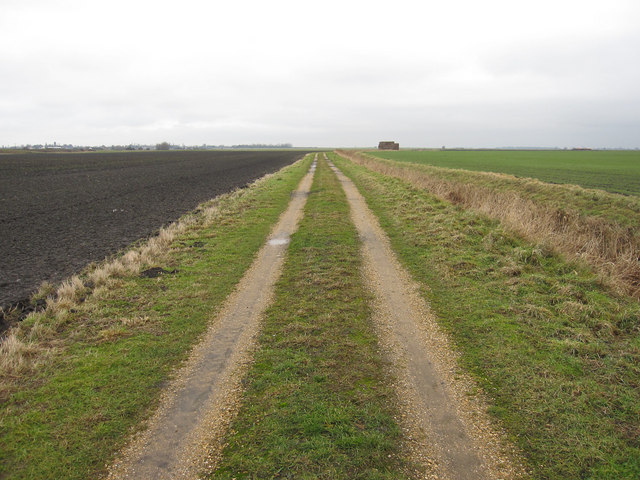
In addition to its natural beauty, Moor offers numerous recreational activities for visitors. The region is crisscrossed by a network of footpaths and trails, providing ample opportunities for hiking, walking, and cycling. The undulating landscape makes it a popular destination for outdoor enthusiasts and nature lovers seeking tranquility and solitude.
Moor, Cambridgeshire, is a hidden gem that offers a unique and enchanting experience for those seeking to immerse themselves in the beauty of the British countryside.
If you have any feedback on the listing, please let us know in the comments section below.
How Moor Images
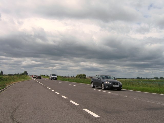
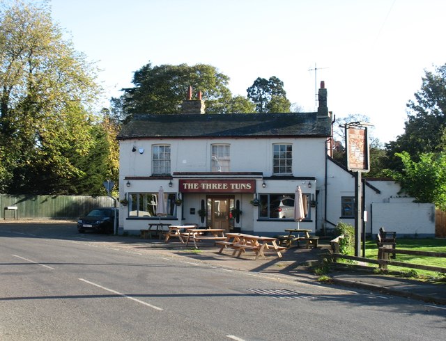
Images are sourced within 2km of 52.48935/0.048285417 or Grid Reference TL3989. Thanks to Geograph Open Source API. All images are credited.


How Moor is located at Grid Ref: TL3989 (Lat: 52.48935, Lng: 0.048285417)
Division: Isle of Ely
Administrative County: Cambridgeshire
District: Fenland
Police Authority: Cambridgeshire
What 3 Words
///clashing.spotted.galaxies. Near Doddington, Cambridgeshire
Related Wikis

Doddington, Cambridgeshire
Doddington is a village and civil parish lying just off the A141 in the Isle of Ely, Cambridgeshire, approximately half way (4 miles (6 km)) between Chatteris...

Swingbrow
Swingbrow (sometimes written Swing Brow) is a hamlet near to Chatteris , Cambridgeshire lying alongside the Forty Foot Drain built by Vermuyden. A Neolithic...

Wimblington
Wimblington is a village in the Isle of Ely, Cambridgeshire, England, with a population of 1700 as of the 2001 census, including Stonea and increasing...
Wimblington railway station
Wimblington railway station was a station in the village of Wimblington, Cambridgeshire. It was closed in 1967 as part of the Beeching Axe.The station...
Nearby Amenities
Located within 500m of 52.48935,0.048285417Have you been to How Moor?
Leave your review of How Moor below (or comments, questions and feedback).