Bottlelane Field
Downs, Moorland in Cambridgeshire Fenland
England
Bottlelane Field
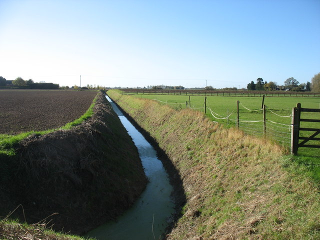
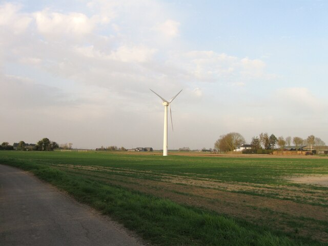
Bottlelane Field is a picturesque natural area located in Cambridgeshire, England. Situated in the heart of the Downs region, it offers a stunning landscape characterized by rolling hills, vast moorlands, and lush greenery. Spanning over a significant area, the field is a haven for nature lovers and outdoor enthusiasts, providing ample opportunities for exploration and recreation.
The field is known for its diverse flora and fauna, with a wide range of plant species adorning its grounds. Visitors can expect to witness an array of wildflowers, including vibrant bluebells and delicate primroses, during the spring season. The presence of these colorful blooms adds to the field's beauty, creating a vibrant tapestry of colors.
In addition to its floral diversity, Bottlelane Field is also home to various wildlife species. Birdwatchers will have a field day spotting numerous avian species, such as kestrels, skylarks, and pheasants, soaring through the skies. The field's moorland areas attract mammals like rabbits and foxes, providing an opportunity for animal enthusiasts to observe these creatures in their natural habitat.
The field's topography offers a mix of gentle slopes and flat terrains, making it ideal for leisurely walks or more challenging hikes. The undulating hills provide breathtaking panoramic views of the surrounding countryside, making it a popular spot for photography enthusiasts.
Overall, Bottlelane Field in Cambridgeshire is a natural gem, offering a diverse range of flora and fauna, stunning landscapes, and a tranquil escape from the hustle and bustle of everyday life.
If you have any feedback on the listing, please let us know in the comments section below.
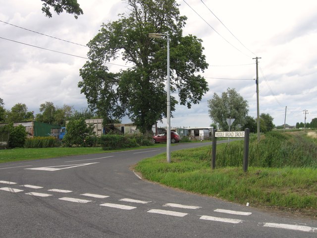
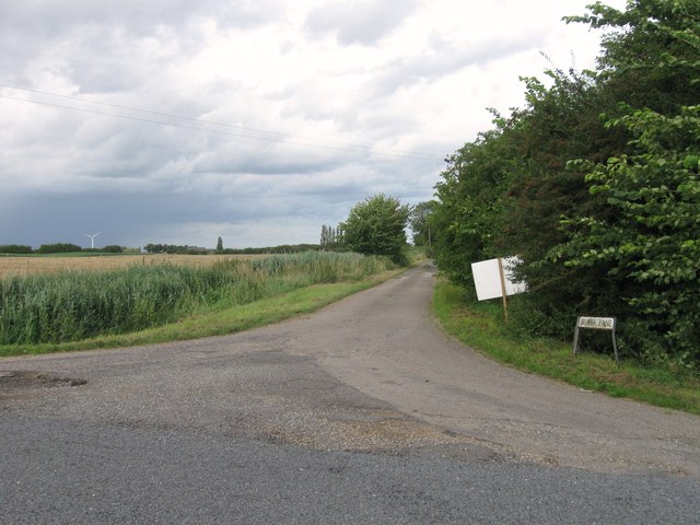
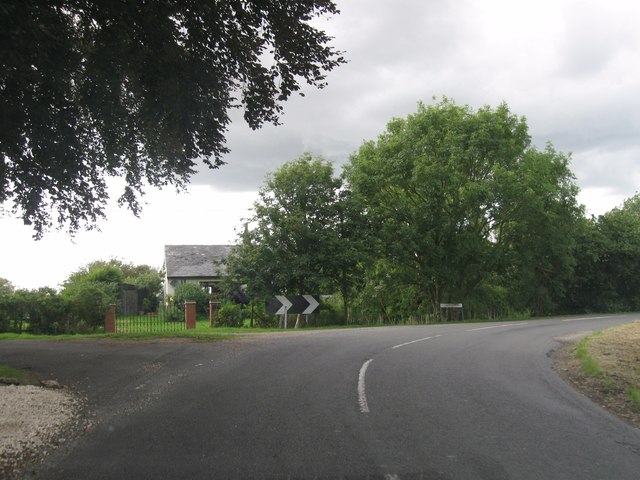
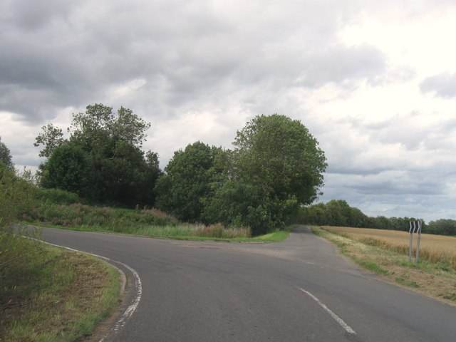
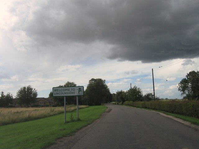
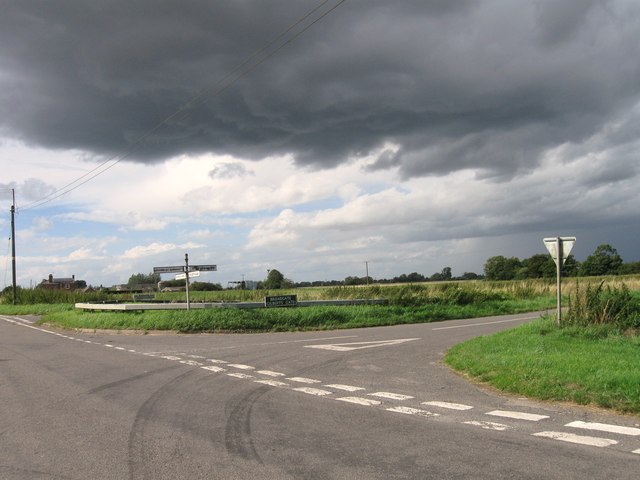
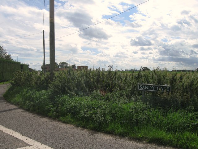
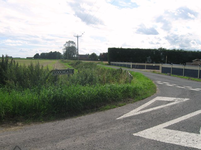
Bottlelane Field Images
Images are sourced within 2km of 52.724135/0.067653392 or Grid Reference TF3916. Thanks to Geograph Open Source API. All images are credited.


Bottlelane Field is located at Grid Ref: TF3916 (Lat: 52.724135, Lng: 0.067653392)
Division: Isle of Ely
Administrative County: Cambridgeshire
District: Fenland
Police Authority: Cambridgeshire
What 3 Words
///probing.presenter.outboard. Near Gedney Hill, Lincolnshire
Nearby Locations
Related Wikis

Sutton St James
Sutton St James is a village and civil parish in the South Holland district of Lincolnshire, England, about four miles (6.4 km) south-west of Long Sutton...

Grange Farm Arboretum
The Grange Farm Arboretum is a small private arboretum comprising 3 hectares accommodating over 800 trees, mostly native and ornamental species or cultivars...
Tydd St Giles
Tydd St Giles is a village in Fenland, Cambridgeshire, England. It is the northernmost village in the Isle of Ely, Cambridgeshire (bordering Lincolnshire...
Sutton St Edmund
Sutton St Edmunds is a village and civil parish in the South Holland district of Lincolnshire, England, about 14 miles (23 km) south-east from the town...

Newton-in-the-Isle
Newton-in-the-Isle is a village and civil parish in the Fenland District of the Isle of Ely, Cambridgeshire, England, The village is 4 miles (6 km) to...

Gorefield
Gorefield is a village and civil parish in the Fenland district of Cambridgeshire, England. At the time of the 2001 census, the parish's population was...
Four Gotes
Four Gotes is a hamlet in the civil parish of Tydd St Giles in Cambridgeshire, England. The population is included in the civil parish of Leverington....

Tydd St Mary
Tydd St Mary is a village and civil parish in the South Holland district of Lincolnshire, England, about 9 miles (14 km) east of the town of Spalding and...
Nearby Amenities
Located within 500m of 52.724135,0.067653392Have you been to Bottlelane Field?
Leave your review of Bottlelane Field below (or comments, questions and feedback).