Askham Field
Downs, Moorland in Cambridgeshire Fenland
England
Askham Field
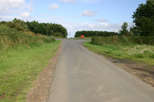
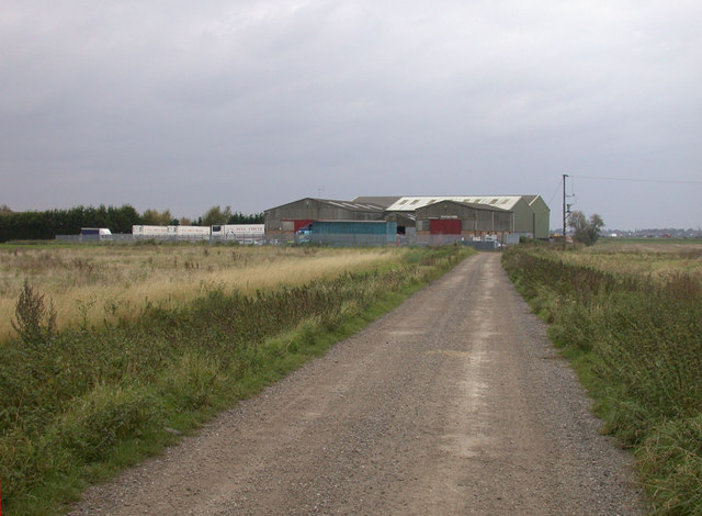
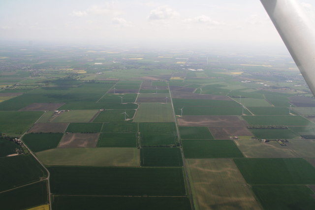
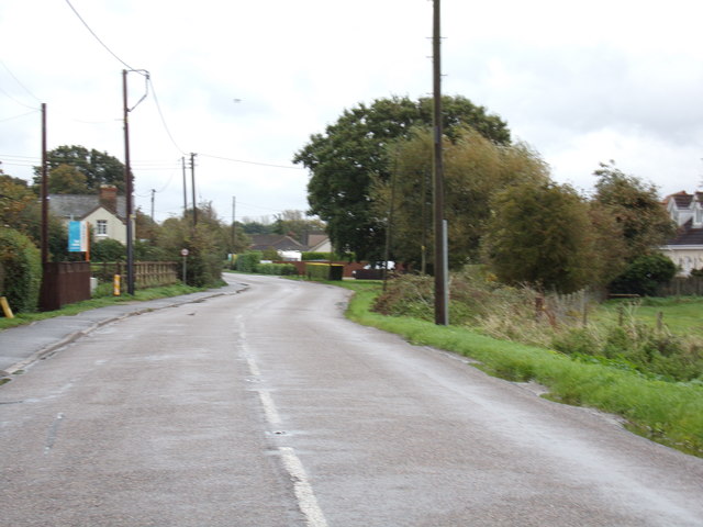
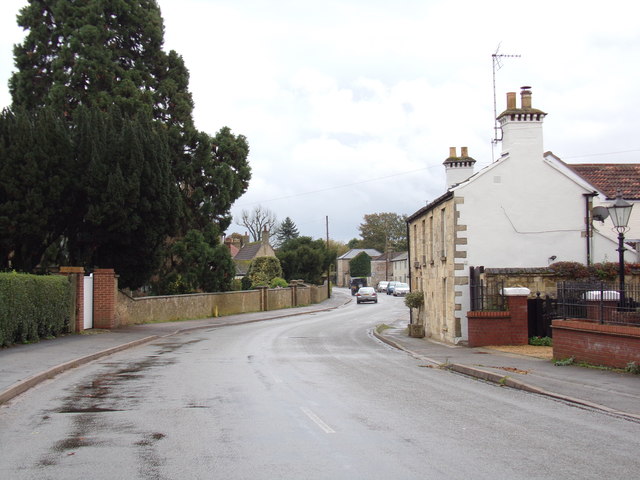
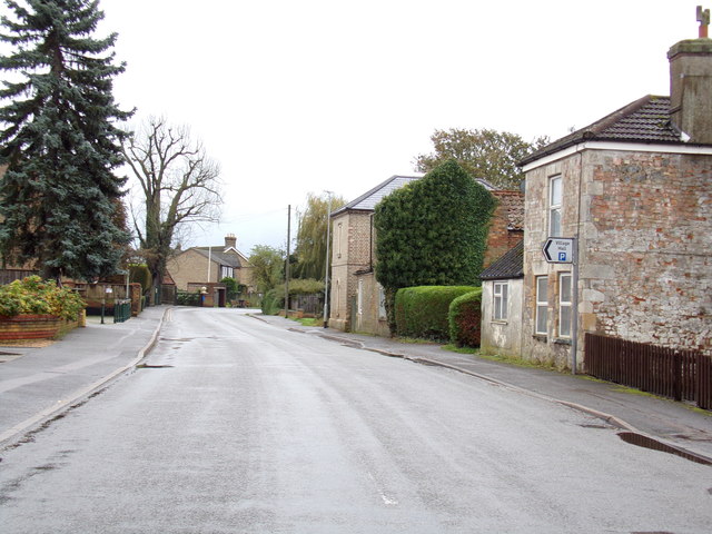
Askham Field is a picturesque area located in Cambridgeshire, known for its stunning landscapes and diverse natural habitats. Situated in the Downs and Moorland region, this area is a haven for wildlife and offers visitors a unique opportunity to explore the beauty of the English countryside.
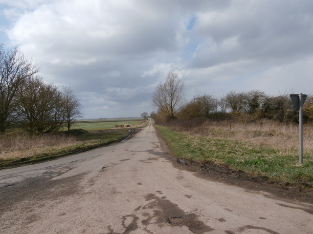
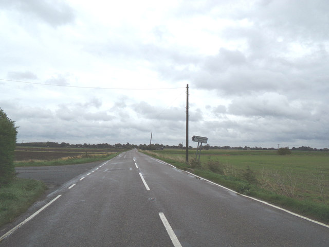
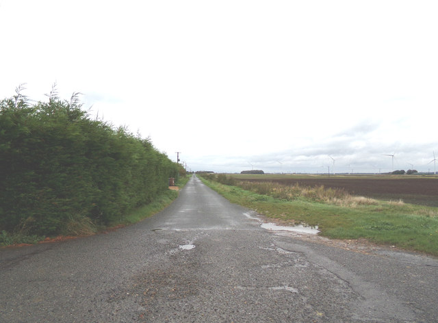
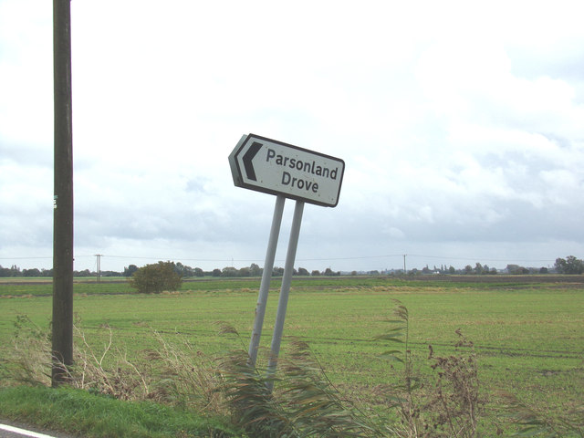
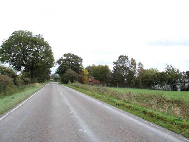
The landscape of Askham Field is characterized by rolling hills, open grasslands, and scattered patches of woodland. The area is rich in biodiversity, with a variety of plant species and wildlife calling it home. Visitors can expect to see a range of bird species, including skylarks, meadow pipits, and kestrels, as well as small mammals such as rabbits and voles.
The open grasslands of Askham Field provide a perfect habitat for grazing livestock, and visitors may come across herds of sheep or cattle peacefully grazing in the fields. The area is also intersected by several footpaths and trails, offering visitors the opportunity to explore the countryside on foot or by bicycle.
In addition to its natural beauty, Askham Field is also of historical significance. The area is dotted with remnants of ancient settlements and historical landmarks, including burial mounds and ancient earthworks. These archaeological features provide a glimpse into the rich history of the region and offer visitors a chance to connect with the past.
Overall, Askham Field in Cambridgeshire is a must-visit destination for nature enthusiasts and history buffs alike. With its stunning landscapes, diverse wildlife, and rich history, this area offers a truly immersive and memorable experience for all who visit.
If you have any feedback on the listing, please let us know in the comments section below.
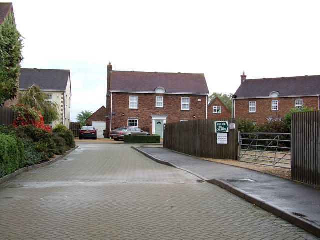
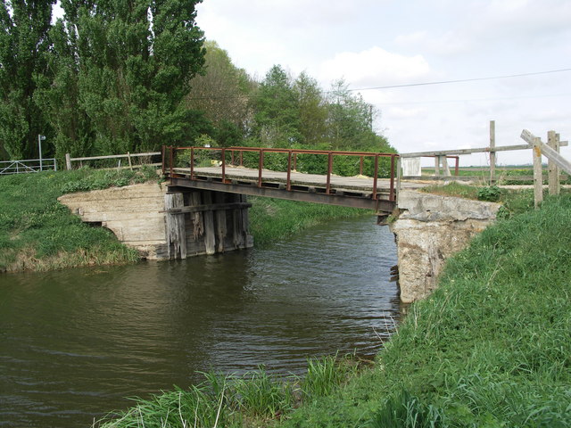
Askham Field Images
Images are sourced within 2km of 52.500388/0.046912653 or Grid Reference TL3991. Thanks to Geograph Open Source API. All images are credited.

Askham Field is located at Grid Ref: TL3991 (Lat: 52.500388, Lng: 0.046912653)
Division: Isle of Ely
Administrative County: Cambridgeshire
District: Fenland
Police Authority: Cambridgeshire
What 3 Words
///contact.forgives.symphony. Near Doddington, Cambridgeshire
Nearby Locations
Related Wikis

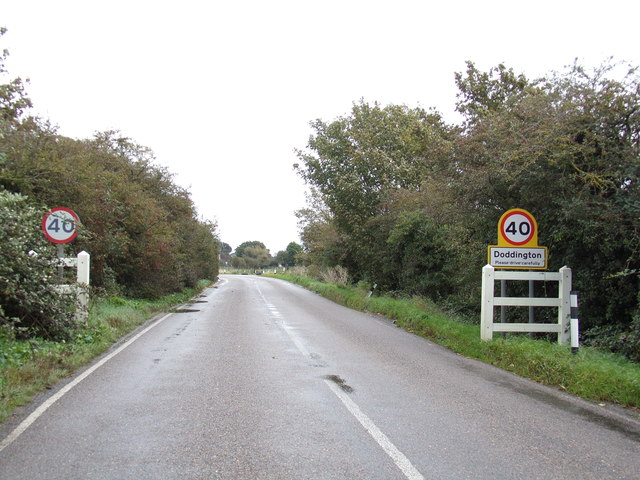
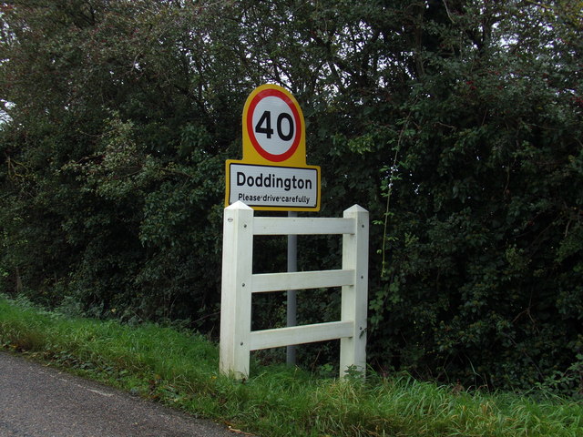
Doddington, Cambridgeshire
Doddington is a village and civil parish lying just off the A141 in the Isle of Ely, Cambridgeshire, approximately half way (4 miles (6 km)) between Chatteris...

Wimblington
Wimblington is a village in the Isle of Ely, Cambridgeshire, England, with a population of 1700 as of the 2001 census, including Stonea and increasing...

Wimblington railway station
Wimblington railway station was a station in the village of Wimblington, Cambridgeshire. It was closed in 1967 as part of the Beeching Axe.The station...
Swingbrow
Swingbrow (sometimes written Swing Brow) is a hamlet near to Chatteris , Cambridgeshire lying alongside the Forty Foot Drain built by Vermuyden. A Neolithic...
Gault Wood
Gault Wood is a woodland in Cambridgeshire, England, near the town of March. It covers a total area of 6.51 hectares (16.09 acres). It is owned and managed...

Forty Foot Drain
The Forty Foot or Forty Foot Drain is a name given to several of the principal channels in the drainage schemes of the Fens of Eastern England, the name...
Flood's Ferry
Flood's Ferry and Knight's End are hamlets between Benwick and March, Cambridgeshire, England. Flood's Ferry is the site of a large marina on the old course...

Stonea
Stonea is a hamlet in Cambridgeshire, England, south east of March and part of the parish of Wimblington. Stonea today consists of a scattered collection...
Nearby Amenities
Located within 500m of 52.500388,0.046912653Have you been to Askham Field?
Leave your review of Askham Field below (or comments, questions and feedback).