Fenlane Field
Downs, Moorland in Cambridgeshire Fenland
England
Fenlane Field

Fenlane Field is a scenic expanse of land located in Cambridgeshire, England. Spread across an area of approximately 500 acres, it is characterized by its diverse landscape, encompassing downs and moorland. The field is nestled amidst the picturesque countryside, offering visitors an idyllic and tranquil setting.
The downs of Fenlane Field are rolling hills covered in lush green grass, providing a perfect vantage point to soak in the beauty of the surrounding area. The undulating terrain creates a visually pleasing panorama, dotted with wildflowers during the spring and summer months. The downs are a popular spot for walking, hiking, and picnicking, attracting outdoor enthusiasts from near and far.
Adjacent to the downs, the moorland of Fenlane Field offers a contrasting landscape. This section is characterized by open expanses of heather and gorse, interspersed with small ponds and wetland areas. The moorland is a haven for wildlife, providing a habitat for various bird species, including curlews and lapwings. Visitors can often spot these birds and enjoy the harmonious sounds of nature.
Fenlane Field is well-maintained, with designated paths and trails for visitors to explore the area with ease. The field is easily accessible, with ample parking facilities and nearby amenities. It offers a peaceful retreat from the hustle and bustle of daily life, allowing visitors to connect with nature and appreciate the beauty of the Cambridgeshire countryside.
If you have any feedback on the listing, please let us know in the comments section below.
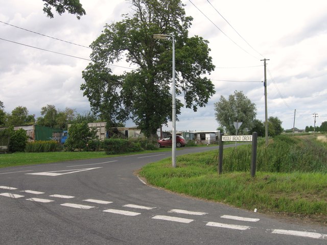
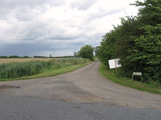
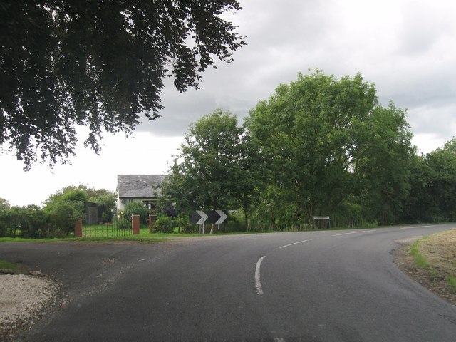
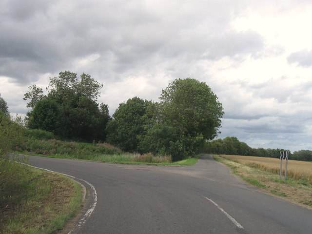
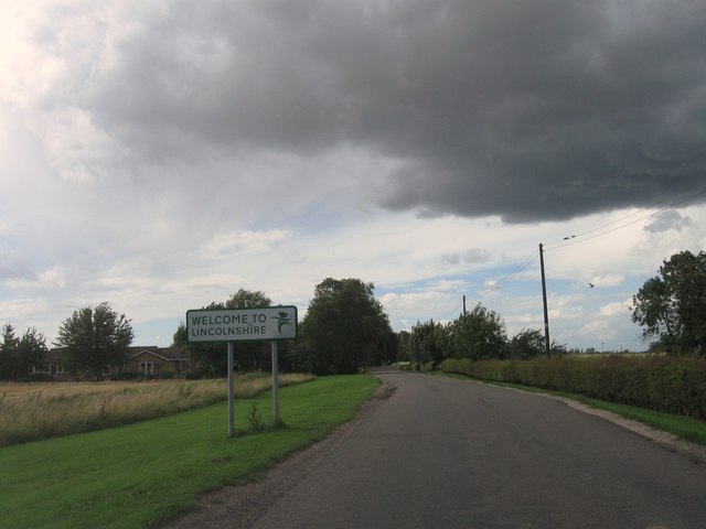
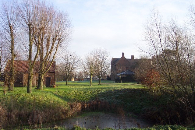
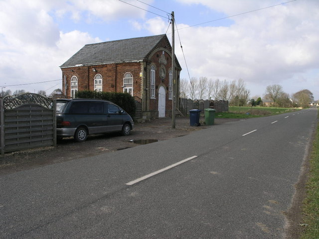
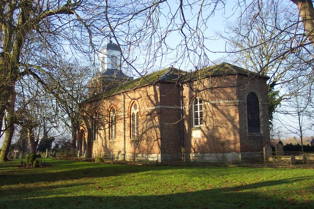
Fenlane Field Images
Images are sourced within 2km of 52.709304/0.056545036 or Grid Reference TF3914. Thanks to Geograph Open Source API. All images are credited.


Fenlane Field is located at Grid Ref: TF3914 (Lat: 52.709304, Lng: 0.056545036)
Division: Isle of Ely
Administrative County: Cambridgeshire
District: Fenland
Police Authority: Cambridgeshire
What 3 Words
///tank.disputes.political. Near Gedney Hill, Lincolnshire
Nearby Locations
Related Wikis
Sutton St Edmund
Sutton St Edmunds is a village and civil parish in the South Holland district of Lincolnshire, England, about 14 miles (23 km) south-east from the town...

Gorefield
Gorefield is a village and civil parish in the Fenland district of Cambridgeshire, England. At the time of the 2001 census, the parish's population was...

Tydd St Giles
Tydd St Giles is a village in Fenland, Cambridgeshire, England. It is the northernmost village in the Isle of Ely, Cambridgeshire (bordering Lincolnshire...

Sutton St James
Sutton St James is a village and civil parish in the South Holland district of Lincolnshire, England, about four miles (6.4 km) south-west of Long Sutton...
Nearby Amenities
Located within 500m of 52.709304,0.056545036Have you been to Fenlane Field?
Leave your review of Fenlane Field below (or comments, questions and feedback).