Bare Fen

Downs, Moorland in Cambridgeshire South Cambridgeshire

England

Bare Fen

Earith Road, Willingham, Cambs looking north from the village along the B1050 towards Middle Fen.
Earith Road, Willingham, Cambs Credit: Rodney Burton

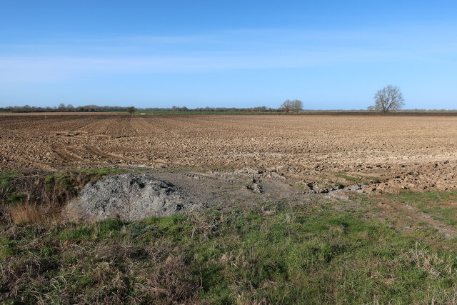
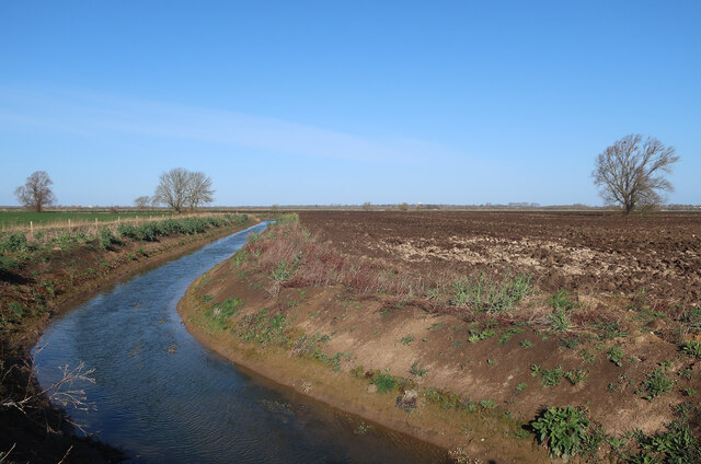
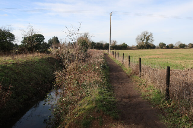
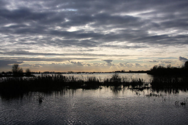
Bare Fen is a picturesque area located in Cambridgeshire, England. It is a diverse landscape that combines downs and moorland, offering a unique experience to visitors. Spanning over a considerable area, Bare Fen is known for its unspoiled natural beauty and tranquil surroundings.

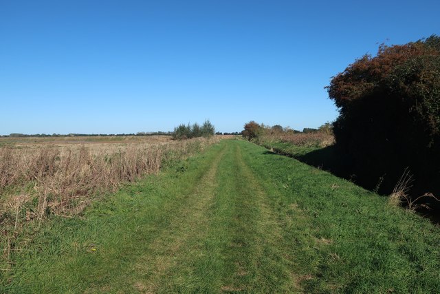
The downs of Bare Fen are characterized by rolling hills covered in lush green grass, providing breathtaking panoramic views of the countryside. The area is home to a wide variety of flora and fauna, including wildflowers, grasses, and numerous bird species. It is a haven for nature enthusiasts, offering ample opportunities for hiking, birdwatching, and photography.

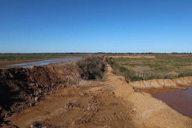
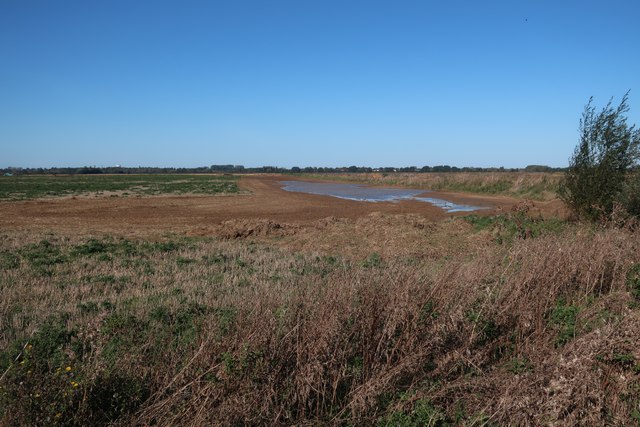
The moorland of Bare Fen is equally captivating, with its vast expanses of open, undulating terrain. It is characterized by heather-covered hills, scattered pools, and small streams. Moorland wildlife thrives in this area, and visitors may spot deer, rabbits, and various bird species such as curlews and lapwings.

Bare Fen is rich in history, with evidence of human occupation dating back thousands of years. Archaeological sites, such as ancient burial mounds and remnants of settlements, can be found scattered throughout the landscape, providing insight into the area's past.

Overall, Bare Fen offers a serene escape from the hustle and bustle of everyday life. Its combination of downs and moorland, coupled with its rich natural and cultural heritage, makes it a must-visit destination for those seeking a tranquil and immersive outdoor experience.

If you have any feedback on the listing, please let us know in the comments section below.
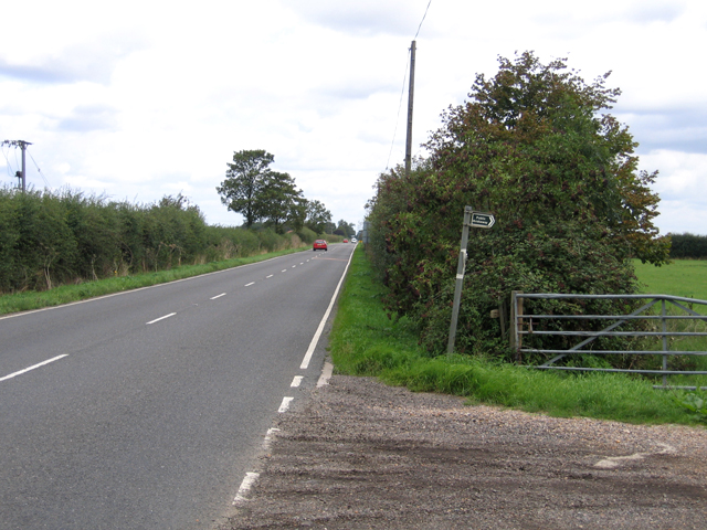
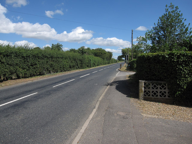
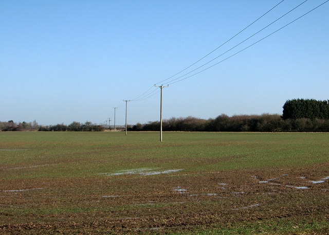
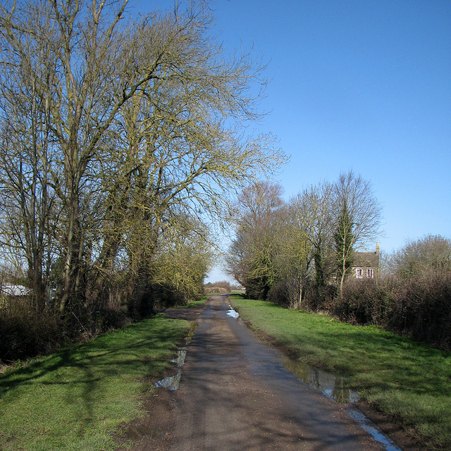
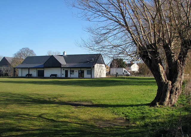
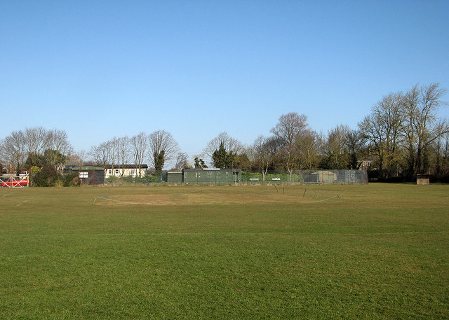
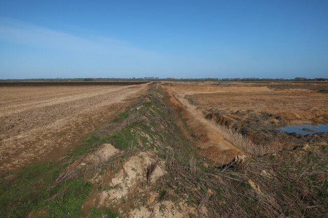
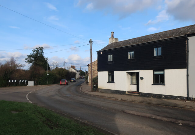
Bare Fen Images

Images are sourced within 2km of 52.323801/0.032470877 or Grid Reference TL3871. Thanks to Geograph Open Source API. All images are credited.

Earith Road, Willingham, Cambs looking north from the village along the B1050 towards Middle Fen.
Earith Road, Willingham, Cambs
looking north from the village along the B1050 towards Middle Fen.
The old Victorian school This building was built in 1856 and is now up for sale.
The old Victorian school
This building was built in 1856 and is now up for sale.
Earith Road leaving Willingham
Willingham: fen landscape with poles A view from a bend in West Fen Road, taken on a sunny February morning.
Willingham: fen landscape with poles
A view from a bend in West Fen Road, taken on a sunny February morning.
Willingham: West Fen Road The road past the village recreation ground and bowls club (offstage left), photographed on a bright February morning.
Willingham: West Fen Road
The road past the village recreation ground and bowls club (offstage left), photographed on a bright February morning.
Willingham sports pavilion The recreation ground stages cricket and football matches.
Willingham sports pavilion
The recreation ground stages cricket and football matches.
Willingham: the wicket in winter A view of Willingham CC's roped-off wicket, taken a month or two before the start of the 2015 season, and beyond the boundary the village bowls club.

(I played against Willingham a number of times and was never on the winning side on this ground, so it was perhaps more pleasing to be here out of season, and in retirement.)
Willingham: the wicket in winter
A view of Willingham CC's roped-off wicket, taken a month or two before the start of the 2015 season, and beyond the boundary the village bowls club. (I played against Willingham a number of times and was never on the winning side on this ground, so it was perhaps more pleasing to be here out of season, and in retirement.)
Edge of the quarry The quarry will spread across the farmland and then the area will be added to the RSPB Ouse Fen reserve when extraction is completed to create a large wetland.
Edge of the quarry
The quarry will spread across the farmland and then the area will be added to the RSPB Ouse Fen reserve when extraction is completed to create a large wetland.
Field by the quarry The quarry will soon expand across this area as well.
Field by the quarry
The quarry will soon expand across this area as well.
Diverted drainage ditch The IDB drains need to be moved as the quarry expands, with the bridleway diverted to match.
Diverted drainage ditch
The IDB drains need to be moved as the quarry expands, with the bridleway diverted to match.
Path by Dockerel Brook
Willingham sports pavilion
Willingham playing fields from Pound Lane
New house by Pound Lane
The Old Rose & Crown Former pub on the B1050.
The Old Rose & Crown
Former pub on the B1050.
Current edge of the quarry A spreading sand and gravel quarry that is being turned into a wetland RSPB reserve after it has lowered the ground level.
Current edge of the quarry
A spreading sand and gravel quarry that is being turned into a wetland RSPB reserve after it has lowered the ground level.
Bridleway to Earith Diverted around the sand and gravel quarry.
Bridleway to Earith
Diverted around the sand and gravel quarry.
Field by the quarry
Field by the quarry
Show me another place!

Bare Fen is located at Grid Ref: TL3871 (Lat: 52.323801, Lng: 0.032470877)

Administrative County: Cambridgeshire

District: South Cambridgeshire

Police Authority: Cambridgeshire

What 3 Words

///playful.flotation.innovate. Near Over, Cambridgeshire

Nearby Locations

Bare Fen Over

Related Wikis

New Bedford River

The New Bedford River, also known as the Hundred Foot Drain because of the distance between the tops of the two embankments on either side of the river...

Over, Cambridgeshire

Over is a large village near the River Great Ouse in the English county of Cambridgeshire, just east of the prime meridian. The parish covers an area of...

Cambridgeshire

Cambridgeshire (abbreviated Cambs.) or the County of Cambridge is a ceremonial county and historic county in the East of England and East Anglia. It is...

List of Sites of Special Scientific Interest in Cambridgeshire

Cambridgeshire is a county in eastern England, with an area of 339,746 hectares (1,312 sq mi) and a population as of mid-2015 of 841,218. It is crossed...

Nearby Amenities

Located within 500m of 52.323801,0.032470877
Access: no
Barrier: kissing_gate
Foot: designated
Lat/Long: 52.3202864/0.0303548
Access: no
Barrier: kissing_gate
Foot: designated
Lat/Long: 52.3196951/0.0297521
Access: no
Barrier: kissing_gate
Foot: designated
Lat/Long: 52.320143/0.0317492
Access: no
Barrier: kissing_gate
Foot: designated
Lat/Long: 52.3207379/0.0307586
Bare Fen
Place: locality
Lat/Long: 52.3247347/0.0301785
The data included in this document is from www.openstreetmap.org. The data is made available under ODbL.

Have you been to Bare Fen?

Leave your review of Bare Fen below (or comments, questions and feedback).