The Moor
Downs, Moorland in Cambridgeshire South Cambridgeshire
England
The Moor

The Moor, located in Cambridgeshire, England, is a picturesque area known for its downs and moorland landscapes. Covering a vast expanse of approximately X square kilometers, this region offers a diverse range of natural beauty and wildlife.
The downs in The Moor are characterized by gentle, rolling hills covered in lush green grass and scattered with vibrant wildflowers. These open spaces provide a peaceful setting for outdoor activities such as walking, hiking, and picnicking. The views from the top of the downs are breathtaking, offering panoramic vistas of the surrounding countryside.
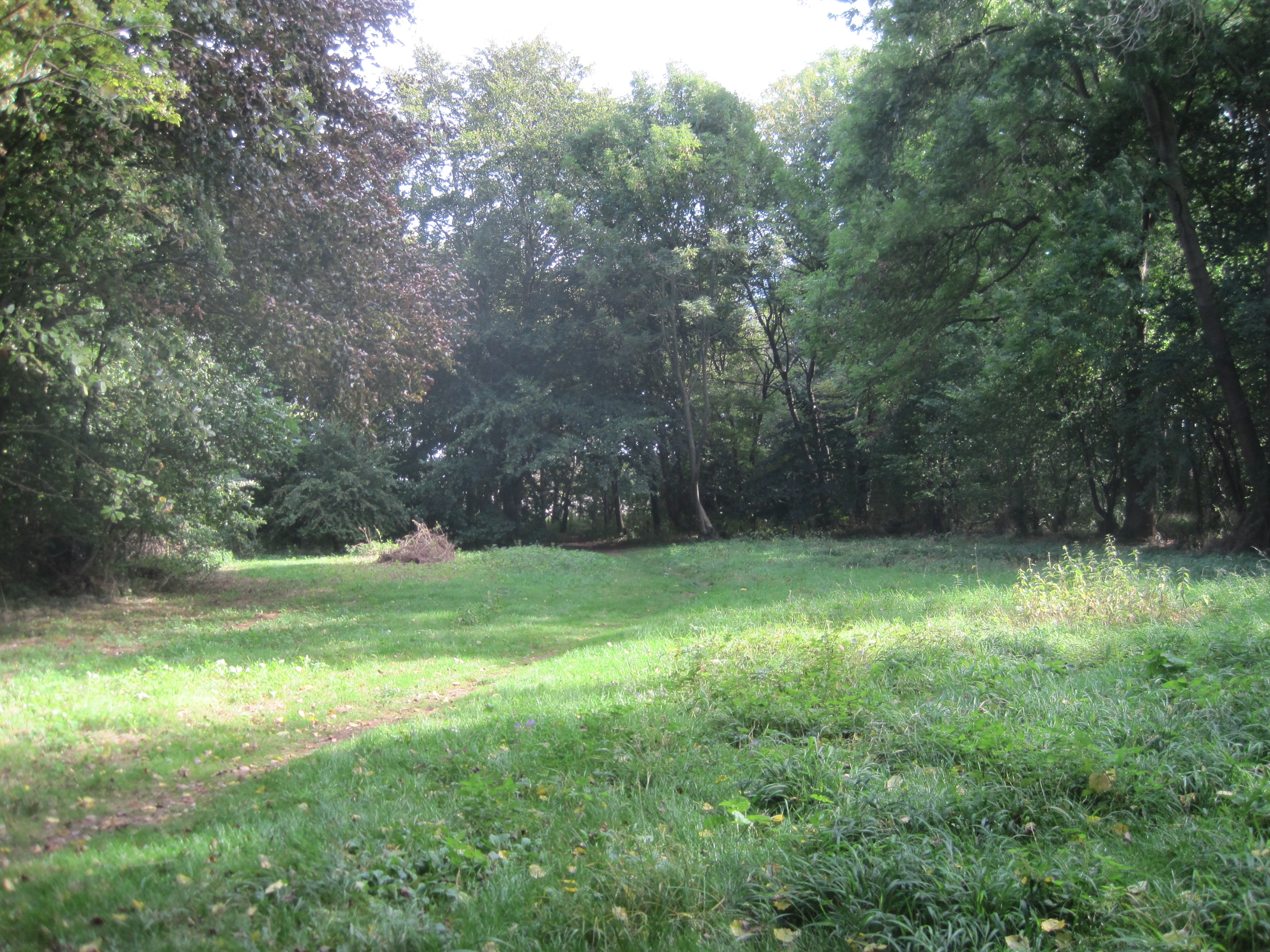
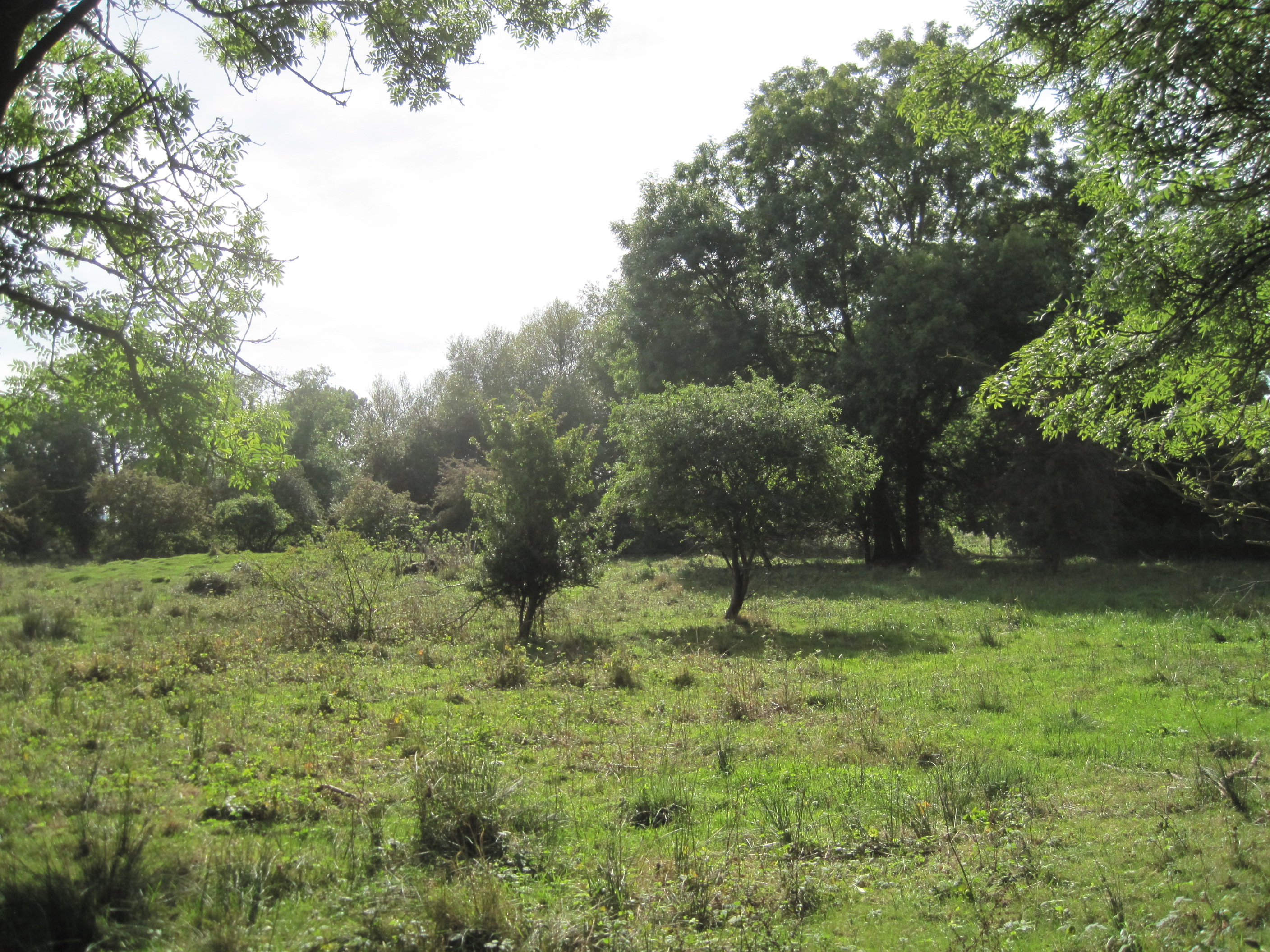
In contrast, the moorland areas of The Moor are characterized by a more rugged and wild terrain. Here, visitors can explore heathlands, bogs, and marshes, which are home to a variety of unique plant and animal species. The moorland is crisscrossed by footpaths, allowing visitors to immerse themselves in the natural beauty and tranquility of the area.
The Moor is also known for its rich history, with archaeological evidence suggesting human habitation in the area dating back thousands of years. Ruins of ancient settlements, burial mounds, and stone circles can be found scattered across the landscape, offering glimpses into the past.
Overall, The Moor in Cambridgeshire is a captivating destination for nature enthusiasts, history buffs, and those seeking a peaceful retreat. Its downs and moorland landscapes, coupled with its rich history, make it a truly unique and remarkable place to explore.
If you have any feedback on the listing, please let us know in the comments section below.
The Moor Images
Images are sourced within 2km of 52.090341/0.021872574 or Grid Reference TL3845. Thanks to Geograph Open Source API. All images are credited.


The Moor is located at Grid Ref: TL3845 (Lat: 52.090341, Lng: 0.021872574)
Administrative County: Cambridgeshire
District: South Cambridgeshire
Police Authority: Cambridgeshire
What 3 Words
///faded.priced.regarding. Near Meldreth, Cambridgeshire
Nearby Locations
Related Wikis

Melbourn Science Park
Melbourn Science Park is a science park located in the village of Melbourn, England, 9 miles (14 km) south of Cambridge. It is owned by Bruntwood SciTech...

Melbourn Village College
Melbourn Village College is a secondary school with academy status, located in Melbourn, Cambridgeshire, England that serves an extensive area of South...
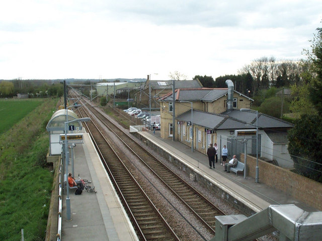
Meldreth railway station
Meldreth railway station serves the villages of Meldreth and Melbourn in Cambridgeshire, England. It is 47 miles 75 chains (47.94 miles, 77.15 km) from...
Melwood Local Nature Reserve
Melwood is a 0.6 hectare Local Nature Reserve in Meldreth in Cambridgeshire, England. It is owned by Cambridgeshire County Council and managed by the Melwood...

Melbourn
Melbourn () is a large, clustered village in the far south-west of Cambridgeshire, England. Its traditional high street is bypassed by the A10, intersecting...
Meldreth
Meldreth is a village and civil parish in South Cambridgeshire, England, located around 10 miles (16 km) south-west of Cambridge. At the 2011 Census, the...
L-Moor, Shepreth
L-Moor, Shepreth is a 6.6-hectare (16-acre) biological Site of Special Scientific Interest in Shepreth in Cambridgeshire. It is managed by the Wildlife...

Fowlmere RSPB reserve
Fowlmere is a Royal Society for the Protection of Birds nature reserve between Fowlmere and Melbourn in Cambridgeshire. It is designated a 39.9-hectare...
Nearby Amenities
Located within 500m of 52.090341,0.021872574Have you been to The Moor?
Leave your review of The Moor below (or comments, questions and feedback).