Poor's Land
Downs, Moorland in Hertfordshire North Hertfordshire
England
Poor's Land

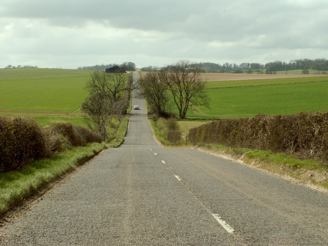
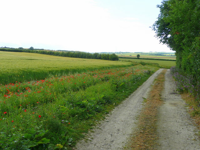
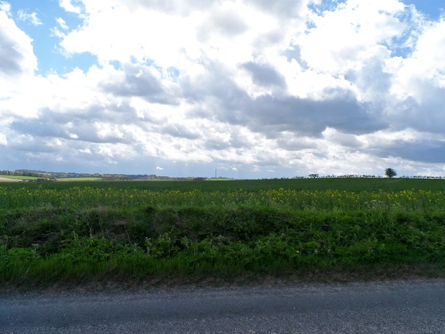
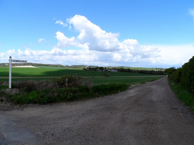
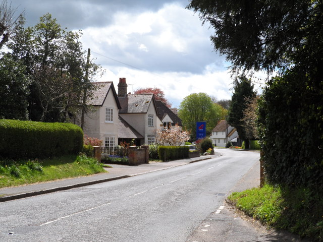
Poor's Land is a picturesque area located in Hertfordshire, England. It is known for its stunning downs and moorland landscapes, offering visitors a unique and tranquil countryside experience. The region is dotted with rolling hills, vast open spaces, and an abundance of natural beauty.
The downs of Poor's Land are characterized by their gently sloping hills and lush greenery. These grassy expanses provide a perfect setting for outdoor activities such as picnics, walking, and horse riding. The area is also home to a variety of wildlife, including rabbits, foxes, and a wide range of bird species, making it a haven for nature enthusiasts.
In contrast, the moorlands of Poor's Land offer a diverse and rugged terrain. With its heather-covered hills, rocky outcrops, and peat bogs, this area is a paradise for hikers and adventure seekers. The moorland is crisscrossed by numerous walking trails, allowing visitors to explore its unique flora and fauna, including rare species such as orchids and bilberries.
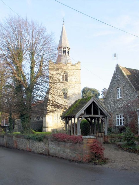
In addition to its natural attractions, Poor's Land boasts several charming villages and towns that showcase the region's rich history and heritage. Traditional thatched-roof cottages, historic churches, and quaint country pubs can be found throughout the area, providing a glimpse into the local culture and lifestyle.
Overall, Poor's Land in Hertfordshire is a captivating destination that offers visitors a chance to immerse themselves in the beauty of the English countryside. Whether it's exploring the downs, traversing the moorland, or simply enjoying the idyllic villages, this region is a true gem for those seeking a peaceful and scenic escape.
If you have any feedback on the listing, please let us know in the comments section below.
Poor's Land Images
Images are sourced within 2km of 52.040969/0.019074927 or Grid Reference TL3839. Thanks to Geograph Open Source API. All images are credited.


Poor's Land is located at Grid Ref: TL3839 (Lat: 52.040969, Lng: 0.019074927)
Administrative County: Hertfordshire
District: North Hertfordshire
Police Authority: Hertfordshire
What 3 Words
///rash.connector.juicy. Near Royston, Hertfordshire
Nearby Locations
Related Wikis
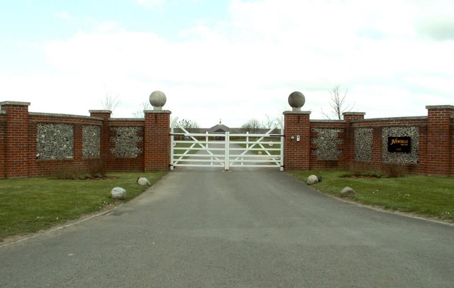
Newsells Park
Newsells Park is a country house and estate at Barkway in Hertfordshire. == History == The estate and the original manor house, built in the late 17th...
Barley, Hertfordshire
Barley is a village and civil parish in the district of North Hertfordshire, England. According to the 2001 census, it has a population of 659, increasing...

Icknield Walk First School
Icknield Walk First School is a larger than average first school located in Royston, Hertfordshire, England. It has approximately 335 registered students...

Goffers Knoll
Goffers Knoll is a prominent knoll on the Hertfordshire-Cambridgeshire border in the east of England, to the east of the town of Royston and south of Melbourn...
Meridian School, Royston
The Meridian School was a secondary school and sixth form located in Royston, Hertfordshire, England. It was an academy, and had approximately 474 registered...
King James Academy Royston
King James Academy Royston (KJAR) is a through school located in Royston, Hertfordshire, England. It is an academy, and opened in September 2019, as a...
Greneway Middle School, Royston
The Greneway Middle School was a middle school in Royston, Hertfordshire, England, which has been combined with Roysia Middle School and Meridian School...

Royston, Hertfordshire
Royston is a town and civil parish in the District of North Hertfordshire and county of Hertfordshire in England. It is situated on the Greenwich Meridian...
Nearby Amenities
Located within 500m of 52.040969,0.019074927Have you been to Poor's Land?
Leave your review of Poor's Land below (or comments, questions and feedback).