Acre Fen
Downs, Moorland in Cambridgeshire Fenland
England
Acre Fen
Acre Fen is a picturesque area located in Cambridgeshire, England. Covering a vast expanse, it is known for its diverse landscape, consisting of downs, moorland, and fenland. The area offers a unique blend of natural beauty, historical significance, and ecological importance.
One of the prominent features of Acre Fen is its downs. These rolling hills provide stunning panoramic views of the surrounding countryside. The grassy slopes are ideal for leisurely walks, picnics, and even kite flying. The downs also serve as a habitat for various plant and animal species, including wildflowers and butterflies.
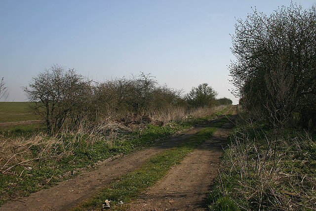
Adjacent to the downs is the moorland, characterized by its wild and untamed nature. Here, visitors can explore vast stretches of heather and gorse, which provide a haven for birdwatching enthusiasts. The moorland is home to several rare bird species, such as the Eurasian curlew and the European stonechat.
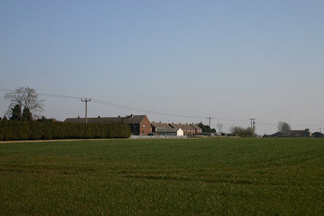
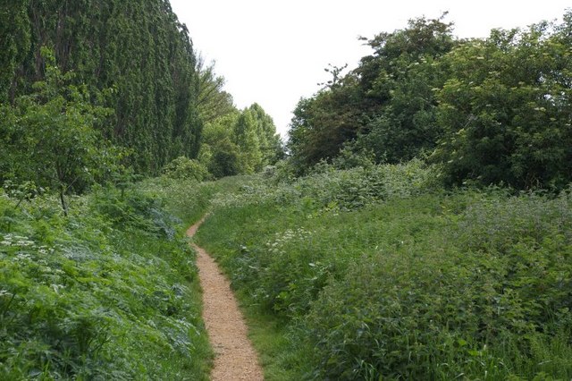
Acre Fen is also renowned for its fenland, which is a type of wetland characterized by nutrient-rich peat soil. This unique ecosystem supports a wide range of wildlife, including rare plants, amphibians, and waterfowl. Visitors can explore the fenland through a network of footpaths and boardwalks, enabling them to observe its natural wonders up close.
In addition to its natural attractions, Acre Fen boasts a rich historical background. The area is dotted with ancient archaeological sites, including Bronze Age burial mounds and Roman remains. These landmarks offer a glimpse into the region's past and provide a fascinating insight into its cultural heritage.
Overall, Acre Fen is a captivating destination for nature lovers, history enthusiasts, and those seeking tranquility amidst breathtaking scenery.
If you have any feedback on the listing, please let us know in the comments section below.
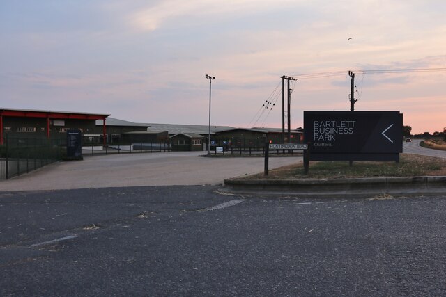
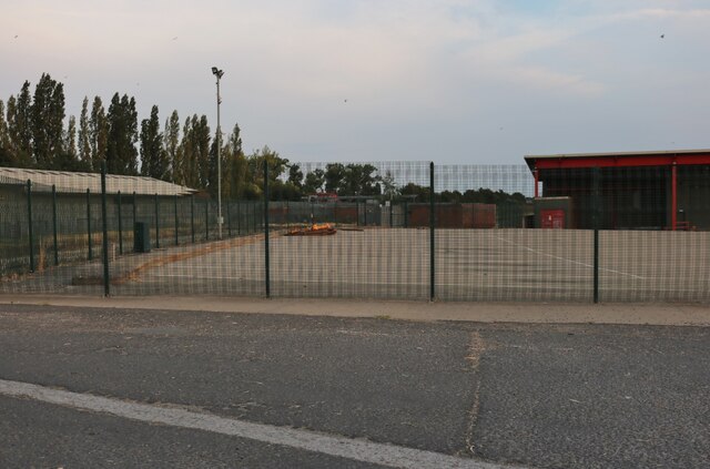
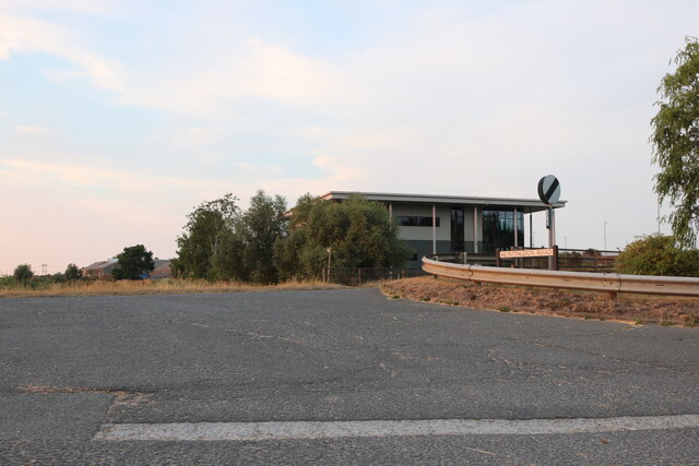
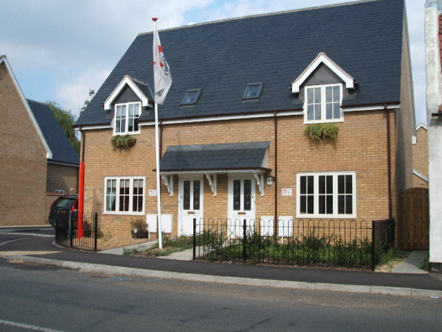
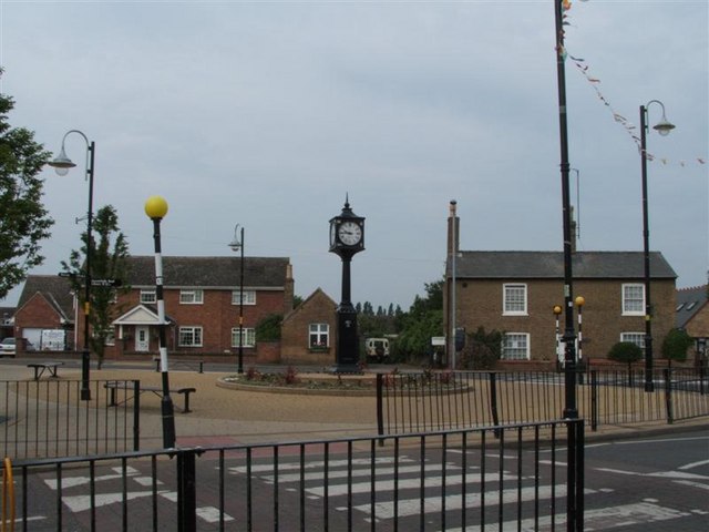
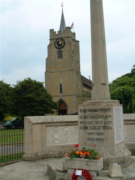
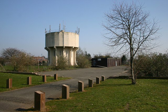
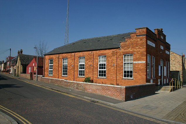
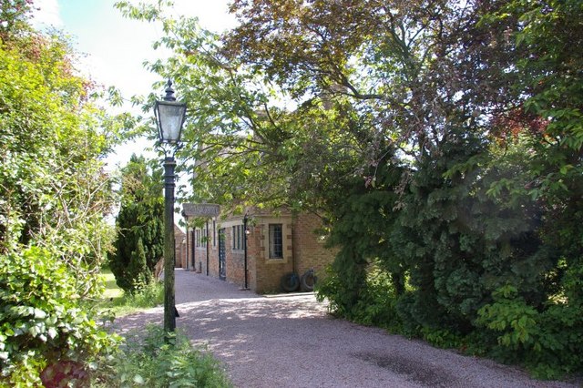
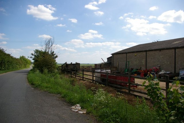
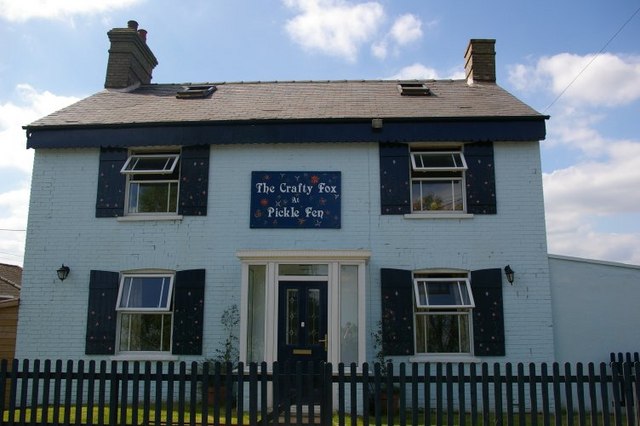
Acre Fen Images
Images are sourced within 2km of 52.444119/0.029750257 or Grid Reference TL3884. Thanks to Geograph Open Source API. All images are credited.
Acre Fen is located at Grid Ref: TL3884 (Lat: 52.444119, Lng: 0.029750257)
Division: Isle of Ely
Administrative County: Cambridgeshire
District: Fenland
Police Authority: Cambridgeshire
What 3 Words
///equity.racked.terribly. Near Chatteris, Cambridgeshire
Nearby Locations
Related Wikis

Chatteris Town F.C.
Chatteris Town Football Club is a football club based in Chatteris, Cambridgeshire, England. They are currently members of the Peterborough & District...

Chatteris railway station
Chatteris railway station was a station in Chatteris, Cambridgeshire on the line between St Ives and March. For much of its history it was run by the Great...

Chatteris Abbey
Chatteris Abbey in Chatteris in the Isle of Ely, Cambridgeshire was founded as a monastery for Benedictine nuns in 1016 by Ednoth, Bishop of Dorchester...
Cromwell Community College
Cromwell Community College is a coeducational all-through school and sixth form located in Chatteris, Cambridgeshire, England. == History == Cromwell...

Chatteris
Chatteris () is a market town and civil parish in the Fenland district of Cambridgeshire, England, situated in The Fens between Huntingdon, March and Ely...

Forty Foot Drain
The Forty Foot or Forty Foot Drain is a name given to several of the principal channels in the drainage schemes of the Fens of Eastern England, the name...
Swingbrow
Swingbrow (sometimes written Swing Brow) is a hamlet near to Chatteris , Cambridgeshire lying alongside the Forty Foot Drain built by Vermuyden. A Neolithic...

Stonea
Stonea is a hamlet in Cambridgeshire, England, south east of March and part of the parish of Wimblington. Stonea today consists of a scattered collection...
Nearby Amenities
Located within 500m of 52.444119,0.029750257Have you been to Acre Fen?
Leave your review of Acre Fen below (or comments, questions and feedback).