Chatteris

Civil Parish in Cambridgeshire Fenland

England

Chatteris

Christmas lights on the High Street, Chatteris
Christmas lights on the High Street, Chatteris Credit: Richard Humphrey

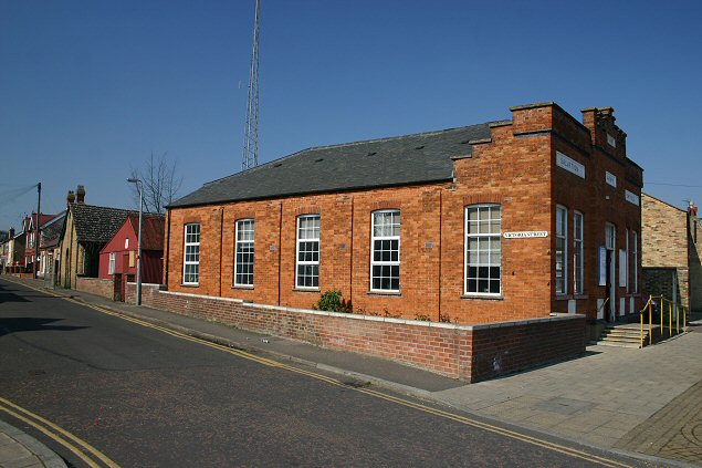
Chatteris is a civil parish located in the county of Cambridgeshire, England. Situated approximately 10 miles northwest of Ely and 20 miles northeast of Peterborough, it is a vibrant market town with a population of around 10,000 residents. The town is nestled in the Fens, an area known for its flat, marshy landscapes and abundant wildlife.

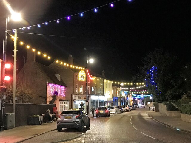
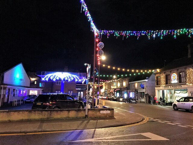
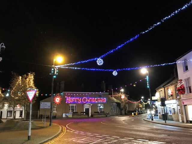
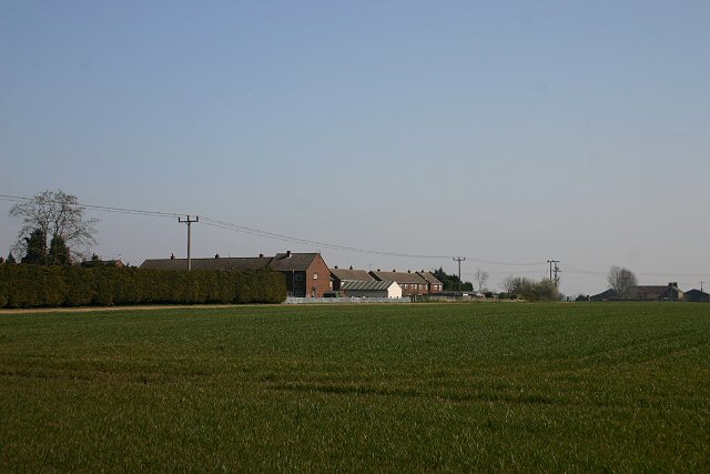
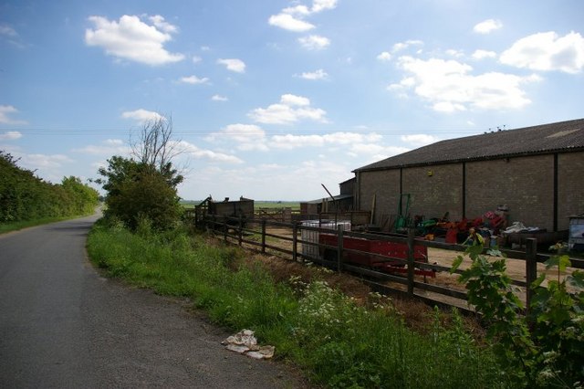
Historically, Chatteris was an important agricultural center, and evidence of its past can still be seen in the surrounding countryside, dotted with working farms. Today, the town has evolved into a diverse community with a range of amenities and services. The charming town center features a variety of shops, cafes, and pubs, offering residents and visitors a pleasant shopping and dining experience.

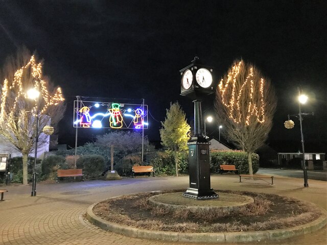
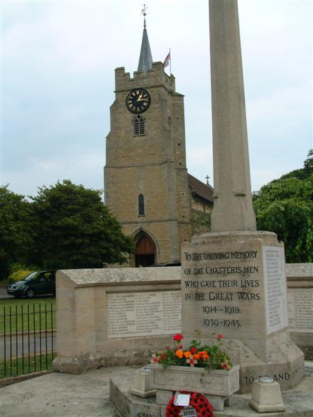
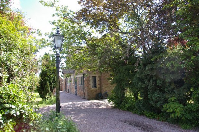
Chatteris boasts a rich history, with notable landmarks including the 15th-century St. Peter and St. Paul's Church, known for its impressive architecture and intricate stained glass windows. The town also has a strong tradition of celebrating its heritage, hosting regular events such as the Chatteris Midsummer Festival, which attracts locals and tourists alike.

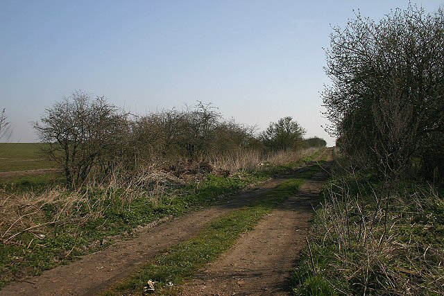
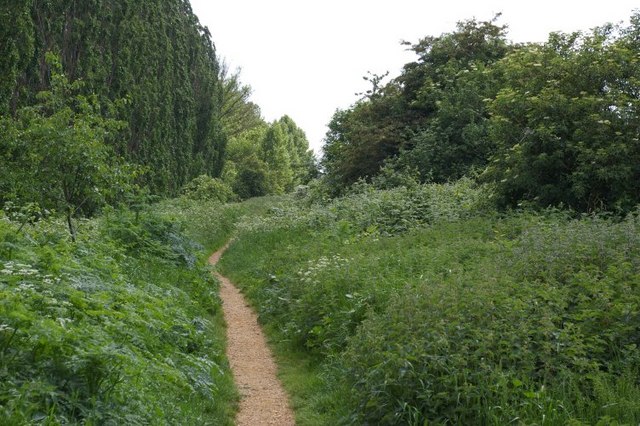
The natural beauty of the area provides ample opportunities for outdoor activities. The nearby Chatteris Museum provides insight into the town's history, while the surrounding countryside offers picturesque walking and cycling routes. The nearby Chatteris Fen is a haven for birdwatchers, with a variety of species to be spotted throughout the year.

Overall, Chatteris is a charming and vibrant town, combining a rich history with a range of modern amenities. Its beautiful surroundings and welcoming community make it an appealing destination for both residents and visitors.

If you have any feedback on the listing, please let us know in the comments section below.
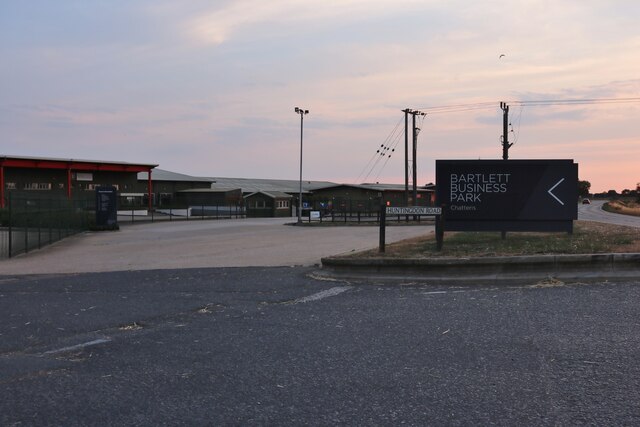
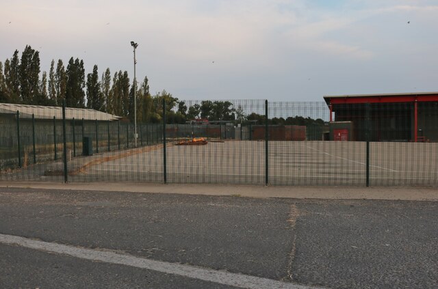
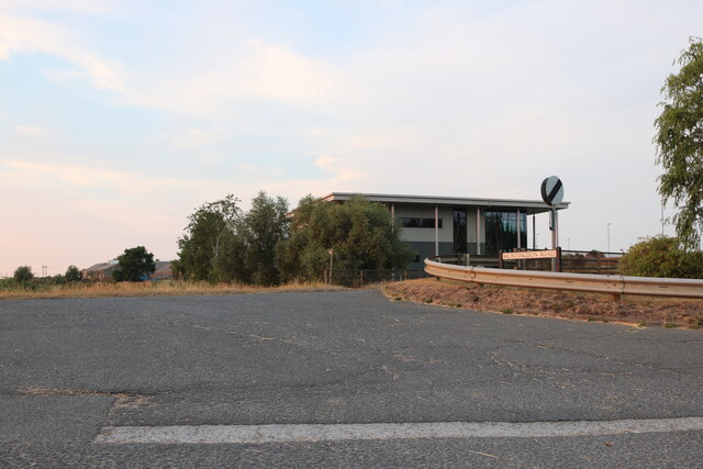
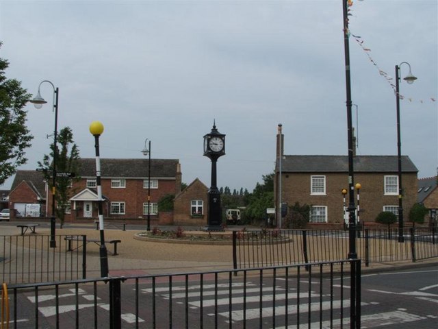
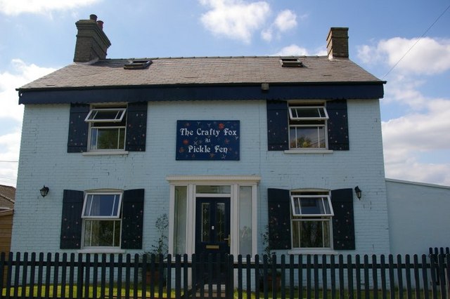
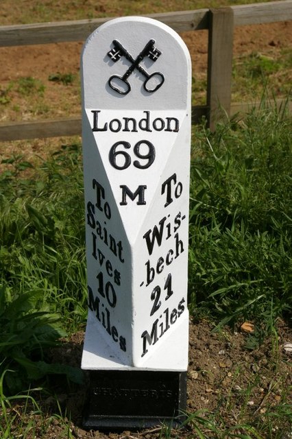
Chatteris Images

Images are sourced within 2km of 52.441106/0.042914 or Grid Reference TL3884. Thanks to Geograph Open Source API. All images are credited.

Christmas lights on the High Street, Chatteris
Clock and Christmas lights in Chatteris, 2021
Christmas lights on the High Street in Chatteris 2021
Merry Christmas - Lights in Chatteris 2021
Bartlett Business Park, Chatteris
The entrance to Bartlett Business Park, Chatteris On Huntingdon Road
The entrance to Bartlett Business Park, Chatteris
On Huntingdon Road
The Clock Chatteris
The Clock Chatteris
Chatteris Parish Church of St Peter and St Paul A view of the church from the War memorial
Chatteris Parish Church of St Peter and St Paul
A view of the church from the War memorial
Dean Drove This byway leads to Wood Farm from the minor road known as Stocking Drove.
Dean Drove
This byway leads to Wood Farm from the minor road known as Stocking Drove.
Southern limit of Chatteris Looking north-west from the B1050 London Road, these houses form the southern extremity of the town of Chatteris.
Southern limit of Chatteris
Looking north-west from the B1050 London Road, these houses form the southern extremity of the town of Chatteris.
Chatteris water tower This water tower stands in the heart of the town, with the local Community College (the Cambridgeshire version of 'secondary school') immediately behind.
Chatteris water tower
This water tower stands in the heart of the town, with the local Community College (the Cambridgeshire version of 'secondary school') immediately behind.
Salvation Army Fortress, Chatteris This church, built in 1889, known as a 'fortress' in Salvation Army parlance, is located at the junction of East Park Street and Victoria Street.
Salvation Army Fortress, Chatteris
This church, built in 1889, known as a 'fortress' in Salvation Army parlance, is located at the junction of East Park Street and Victoria Street.
Disused railway from Chatteris to Somersham, now a public footpath.
The Grange, Ferry Hill
Mower centre, Ferry Hill, with view along road to Sutton
The Crafty Fox Formerly a public house, now a private residence.
The Crafty Fox
Formerly a public house, now a private residence.
Milepost at Pickle Fen On the old coach road from Wisbech. The cross keys are the symbol of St Peter, patron saint of Chatteris parish.
Milepost at Pickle Fen
On the old coach road from Wisbech. The cross keys are the symbol of St Peter, patron saint of Chatteris parish.
Show me another place!

Chatteris is located at Grid Ref: TL3884 (Lat: 52.441106, Lng: 0.042914)

Division: Isle of Ely

Administrative County: Cambridgeshire

District: Fenland

Police Authority: Cambridgeshire

What 3 Words

///prowling.vessel.speak. Near Chatteris, Cambridgeshire

Related Wikis

Chatteris Town F.C.

Chatteris Town Football Club is a football club based in Chatteris, Cambridgeshire, England. They are currently members of the Peterborough & District...

Cromwell Community College

Cromwell Community College is a coeducational all-through school and sixth form located in Chatteris, Cambridgeshire, England. == History == Cromwell...

Chatteris Abbey

Chatteris Abbey in Chatteris in the Isle of Ely, Cambridgeshire was founded as a monastery for Benedictine nuns in 1016 by Ednoth, Bishop of Dorchester...

Chatteris railway station

Chatteris railway station was a station in Chatteris, Cambridgeshire on the line between St Ives and March. For much of its history it was run by the Great...

Chatteris

Chatteris () is a market town and civil parish in the Fenland district of Cambridgeshire, England, situated in The Fens between Huntingdon, March and Ely...

Forty Foot Drain

The Forty Foot or Forty Foot Drain is a name given to several of the principal channels in the drainage schemes of the Fens of Eastern England, the name...

Swingbrow

Swingbrow (sometimes written Swing Brow) is a hamlet near to Chatteris , Cambridgeshire lying alongside the Forty Foot Drain built by Vermuyden. A Neolithic...

Stonea

Stonea is a hamlet in Cambridgeshire, England, south east of March and part of the parish of Wimblington. Stonea today consists of a scattered collection...

Nearby Amenities

Located within 500m of 52.441106,0.042914
Mini Roundabout
Direction: clockwise
Lat/Long: 52.4431622/0.0457489
Power: pole
Lat/Long: 52.4407522/0.0485507
Power: pole
Lat/Long: 52.4373268/0.0457692
Power: pole
Lat/Long: 52.4401386/0.0445358
Power: pole
Lat/Long: 52.4400143/0.0458126
Power: pole
Lat/Long: 52.4398398/0.0483388
Power: pole
Lat/Long: 52.4376913/0.046826
Power: pole
Lat/Long: 52.4389586/0.0481591
Power: pole
Lat/Long: 52.4399249/0.0470648
Power: pole
Lat/Long: 52.4371011/0.044353
Power: pole
Lat/Long: 52.4416797/0.0487811
Power: pole
Lat/Long: 52.4415734/0.0501049
Power: pole
Lat/Long: 52.4380838/0.0479392
Power: pole
Lat/Long: 52.4416856/0.0486847
Power: pole
Lat/Long: 52.4373701/0.0417285
Power: pole
Lat/Long: 52.4374788/0.0406235
Power: pole
Lat/Long: 52.4369001/0.0428794
Power: pole
Lat/Long: 52.4429121/0.0381463
Power: pole
Lat/Long: 52.4432103/0.0365314
Power: pole
Lat/Long: 52.4418216/0.0446587
Power: pole
Lat/Long: 52.4420635/0.0428427
Power: pole
Lat/Long: 52.4423022/0.0413918
Power: pole
Lat/Long: 52.4425868/0.0397743
Power: pole
Lat/Long: 52.4430473/0.0490896
Crossing
Lat/Long: 52.4420343/0.0481343
The data included in this document is from www.openstreetmap.org. The data is made available under ODbL.

Have you been to Chatteris?

Leave your review of Chatteris below (or comments, questions and feedback).