Tydd St Mary's Fen
Downs, Moorland in Lincolnshire South Holland
England
Tydd St Mary's Fen

Tydd St Mary's Fen is a notable natural landscape located in Lincolnshire, England. Situated in the southeastern part of the county, it encompasses a vast area, combining downs and moorland. The fen is known for its unique ecological characteristics and diverse wildlife.
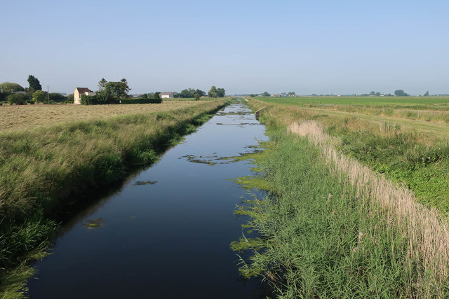
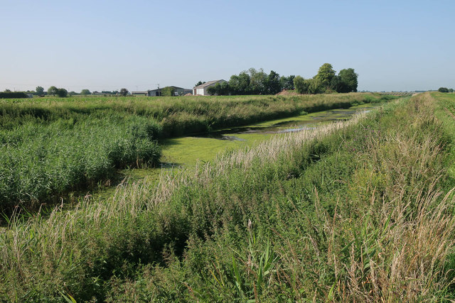
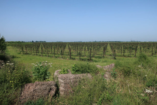
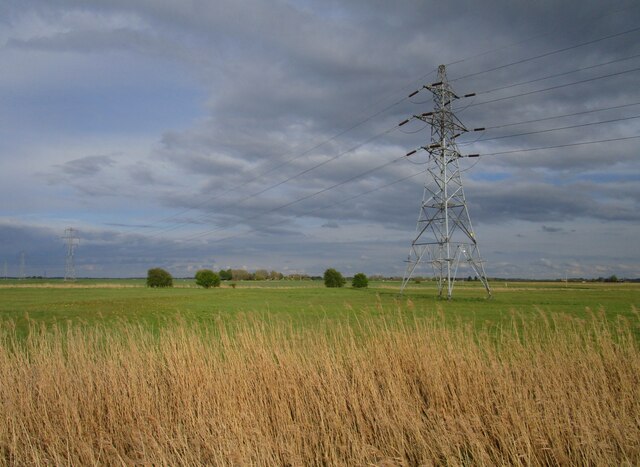
Covering approximately 2,000 acres, Tydd St Mary's Fen features a variety of habitats, including wetlands, marshes, and open grasslands. These habitats support a rich array of plant and animal species, making it an important site for conservation. The fen is home to several rare and protected species, such as the marsh harrier, bittern, and fen orchid.
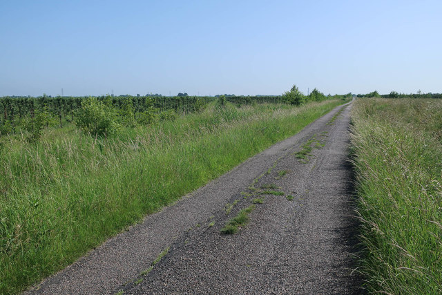
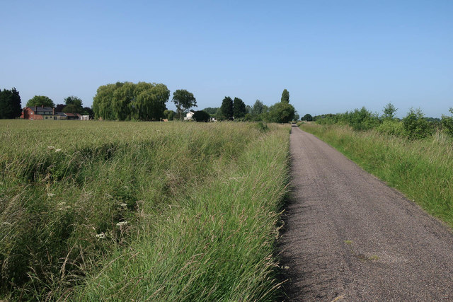
The downs of Tydd St Mary's Fen are characterized by rolling hills with sparse vegetation, primarily consisting of grasses and heather. This landscape provides a picturesque view and attracts visitors interested in outdoor activities like hiking and birdwatching. The moorland, on the other hand, is a wet and boggy terrain covered with dense vegetation, including sedges, reeds, and mosses. This habitat supports a variety of bird species, including snipes, curlews, and lapwings.
The fen's unique combination of downs and moorland creates a diverse and dynamic ecosystem, fostering a delicate balance between different species. It is an important area for wildlife conservation efforts and has been designated as a Site of Special Scientific Interest. Visitors to Tydd St Mary's Fen can immerse themselves in the natural beauty of the landscape, explore the various habitats, and observe the abundant wildlife that thrives in this unique fenland.
If you have any feedback on the listing, please let us know in the comments section below.
Tydd St Mary's Fen Images
Images are sourced within 2km of 52.694873/0.041467412 or Grid Reference TF3812. Thanks to Geograph Open Source API. All images are credited.


Tydd St Mary's Fen is located at Grid Ref: TF3812 (Lat: 52.694873, Lng: 0.041467412)
Administrative County: Lincolnshire
District: South Holland
Police Authority: Lincolnshire
What 3 Words
///moisture.agreeable.topmost. Near Gedney Hill, Lincolnshire
Nearby Locations
Related Wikis
Sutton St Edmund
Sutton St Edmunds is a village and civil parish in the South Holland district of Lincolnshire, England, about 14 miles (23 km) south-east from the town...

Gorefield
Gorefield is a village and civil parish in the Fenland district of Cambridgeshire, England. At the time of the 2001 census, the parish's population was...
St John the Baptist's Church, Parson Drove
St John the Baptist's Church is a redundant Anglican church in the village of Parson Drove, Cambridgeshire, England. It is recorded in the National Heritage...

Parson Drove
Parson Drove is a fen village and civil parish in the Isle of Ely, Cambridgeshire, England. A linear settlement, it is 6 miles (10 km) west of Wisbech...
Nearby Amenities
Located within 500m of 52.694873,0.041467412Have you been to Tydd St Mary's Fen?
Leave your review of Tydd St Mary's Fen below (or comments, questions and feedback).