Conisholme Fen

Downs, Moorland in Lincolnshire East Lindsey

England

Conisholme Fen

Austen Fen, between Yarburgh and Grainthorpe: aerial 2022 (1)
Austen Fen, between Yarburgh and Grainthorpe: aerial 2022 (1) Credit: Simon Tomson

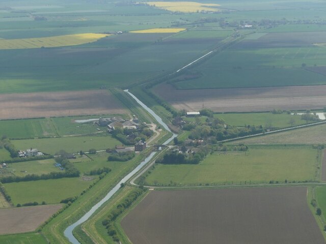
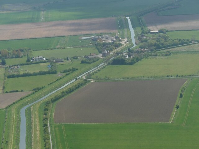
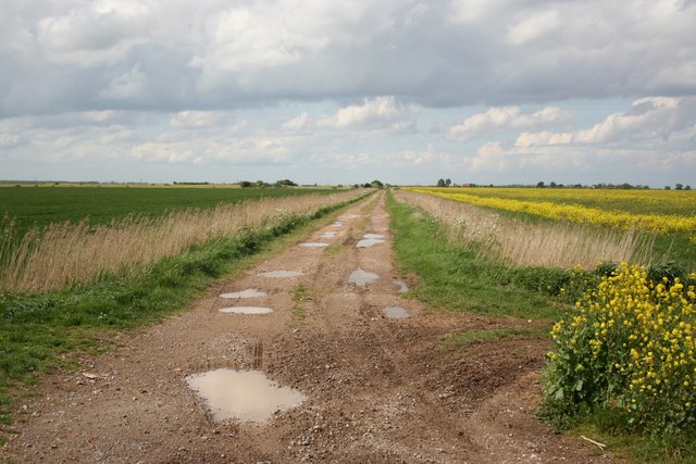
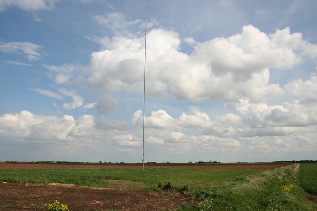
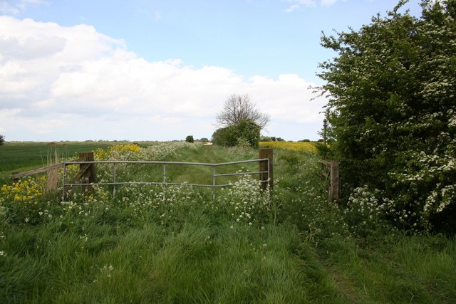
Conisholme Fen is a scenic nature reserve located in Lincolnshire, England. Situated in the county's eastern part, it is characterized by its diverse landscapes, consisting of downs, moorland, and wetland areas. Covering an area of approximately 1,000 hectares, Conisholme Fen is a haven for wildlife and an important conservation site.

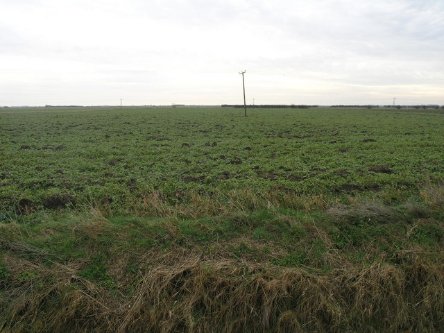
The fen is primarily composed of low-lying wetland habitats, featuring marshes, reed beds, and open water areas. These wetlands provide a vital home for an array of bird species, including herons, ducks, and wading birds. The reserve is particularly renowned for its population of the rare bittern, a secretive and elusive bird that is highly sought after by birdwatchers.

In addition to its wetlands, Conisholme Fen also boasts areas of downs and moorland. These upland habitats offer a contrasting landscape to the wetlands, with rolling hills, heather-covered moors, and scattered woodlands. These areas are home to a variety of plant and animal species, including rabbits, foxes, and various wildflowers.

Conisholme Fen is managed by a dedicated team of conservationists who work to protect and enhance the site's biodiversity. They regularly carry out habitat management activities, such as controlled burning and grazing, to maintain the diverse range of habitats and encourage wildlife populations.

Visitors to Conisholme Fen can enjoy a range of activities, including walking trails, birdwatching, and nature photography. The reserve offers stunning views of the Lincolnshire countryside and provides a peaceful and tranquil environment for nature enthusiasts to explore and appreciate the natural beauty of the area.

If you have any feedback on the listing, please let us know in the comments section below.

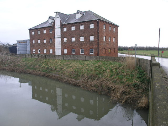
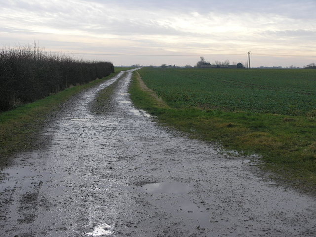
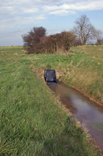
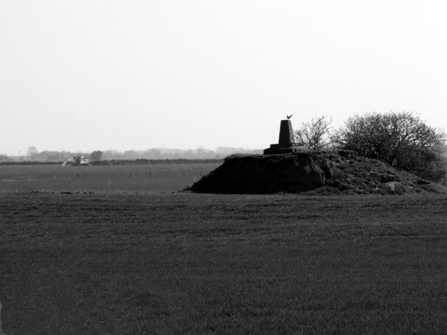
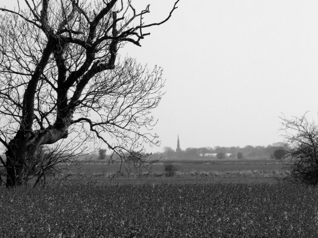
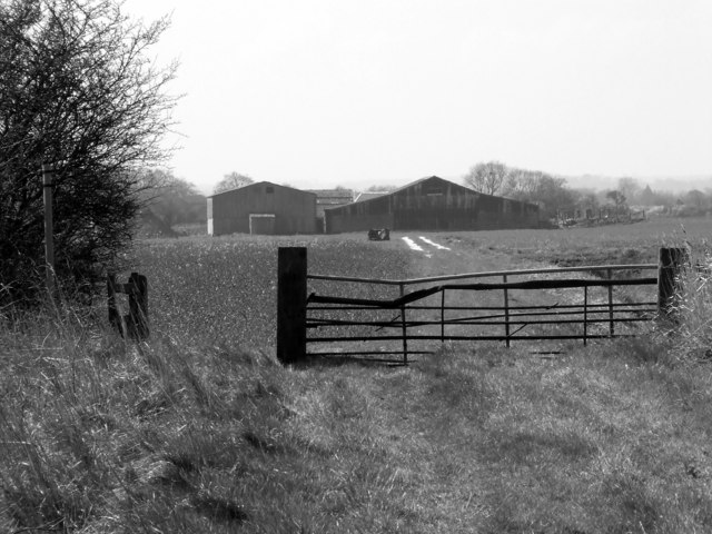
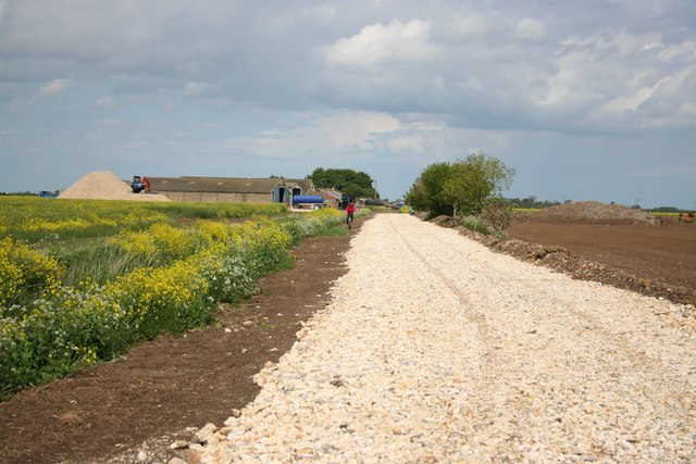
Conisholme Fen Images

Images are sourced within 2km of 53.425139/0.075375103 or Grid Reference TF3894. Thanks to Geograph Open Source API. All images are credited.

Austen Fen, between Yarburgh and Grainthorpe: aerial 2022 (1)
Austen Fen, between Yarburgh and Grainthorpe: aerial 2022 (2)
Direction Sign – Signpost near Fen Bridge, Grainthorpe Located at the west end of Fen Bridge over the Louth Canal, on the northwest side of the junction of Treasure Lane, King Street and Fen Lane, in Grainthorpe parish. 3 arms but no finial.

Milestone Society National ID: LI_TF3694
Direction Sign – Signpost near Fen Bridge, Grainthorpe
Located at the west end of Fen Bridge over the Louth Canal, on the northwest side of the junction of Treasure Lane, King Street and Fen Lane, in Grainthorpe parish. 3 arms but no finial. Milestone Society National ID: LI_TF3694
Eau Meets A cottage near High Bridge House, Alvingham, at the junction of two drains.  Formerly the sluice keepers cottage.
Eau Meets
A cottage near High Bridge House, Alvingham, at the junction of two drains. Formerly the sluice keepers cottage.
Track and a Dyke This dyke drains water from Grainthorpe Fen.
Track and a Dyke
This dyke drains water from Grainthorpe Fen.
Austen Fen Austen Fen exhibits all the characteristics of a fen, that is it is big and flat.
Austen Fen
Austen Fen exhibits all the characteristics of a fen, that is it is big and flat.
Warehouse and Reflection The water in front of this warehouse is the Louth Canal.
Warehouse and Reflection
The water in front of this warehouse is the Louth Canal.
America Farm The buildings on the horizon are part of America Farm.
America Farm
The buildings on the horizon are part of America Farm.
Acre bridge Only three miles from the coast but a whole six feet above sea level!
Acre bridge
Only three miles from the coast but a whole six feet above sea level!
Are you sitting comfortably? The dykes that carve up the fenland often have rubbish thrown into them, although in this case there seems to have been a certain amount of thought put into it.
Are you sitting comfortably?
The dykes that carve up the fenland often have rubbish thrown into them, although in this case there seems to have been a certain amount of thought put into it.
Trig pillar Trig pillars are usually found on high ground or hills but on these flat lands it appears you have to make your own hill. Taken from the track leading to the cottage in the other photo in this square.
Trig pillar
Trig pillars are usually found on high ground or hills but on these flat lands it appears you have to make your own hill. Taken from the track leading to the cottage in the other photo in this square.
Farmland Looking from the track across farmland with South Somercotes church in the distance.
Farmland
Looking from the track across farmland with South Somercotes church in the distance.
Farmland - Barns Taken from same position as other photo but looking back along the track towards Alvingham
Farmland - Barns
Taken from same position as other photo but looking back along the track towards Alvingham
View from Acre Bridge
Fen Farm New ballast makes cycling tough near Fen Farm
Fen Farm
New ballast makes cycling tough near Fen Farm
Conisholme Fen
Conisholme Fen
Radio mast Mast on Conisholme Fen
Radio mast
Mast on Conisholme Fen
Conisholme fen lane Where the RUPP becomes a bridleway
Conisholme fen lane
Where the RUPP becomes a bridleway
Show me another place!

Conisholme Fen is located at Grid Ref: TF3894 (Lat: 53.425139, Lng: 0.075375103)

Administrative County: Lincolnshire

District: East Lindsey

Police Authority: Lincolnshire

What 3 Words

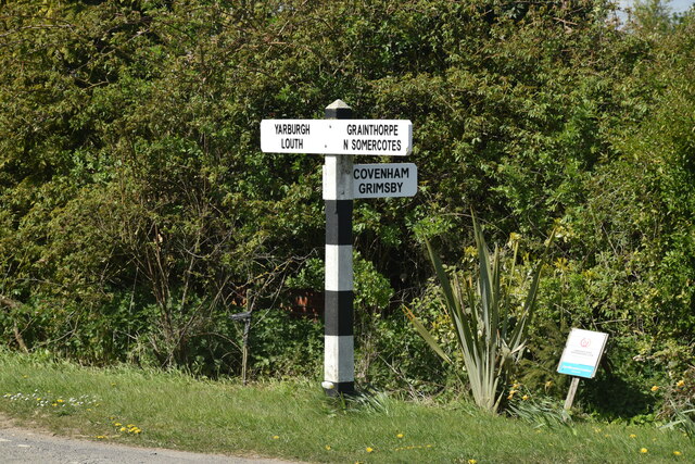
///variety.picked.punters. Near North Somercotes, Lincolnshire

Nearby Locations

Conisholme Conisholme Fen

Related Wikis

Conisholme

Conisholme is a small settlement and civil parish in the East Lindsey district of Lincolnshire, England. It is on the Cleethorpes to Mablethorpe A1031...

Grainthorpe

Grainthorpe is a small village and civil parish in the East Lindsey district of Lincolnshire, England. It is situated 7 miles (11 km) north-east from the...

Alvingham Priory

Alvingham Priory was a Gilbertine priory in St. Mary, Alvingham, Lincolnshire, England. The Priory, established between 1148 and 1154, was a "double house...

St Mary's Church, North Cockerington

St Mary's Church is a redundant Anglican church in the village of Alvingham, adjacent to the village of North Cockerington, Lincolnshire, England. It...

St John the Baptist's Church, Yarburgh

St John the Baptist's Church is a redundant Anglican church in the village of Yarburgh, Lincolnshire, England. It is recorded in the National Heritage...

Covenham Priory

Covenham Priory was a priory in Covenham St Bartholomew, Lincolnshire, England. The manor, which formed the endowment of the priory of Covenham, was granted...

North Cockerington

North Cockerington is a small village and civil parish in the East Lindsey district of Lincolnshire, England. It is situated approximately 3 miles (5 km...

Alvingham

Alvingham is a village and civil parish in the East Lindsey district of Lincolnshire, England. It is situated 3 miles (5 km) north-east from the market...

Nearby Amenities

Located within 500m of 53.425139,0.075375103
Generator Method: wind_turbine
Generator Output Electricity: yes
Generator Source: wind
Generator Type: horizontal_axis
Power: generator
Lat/Long: 53.4215104/0.0785863
Generator Method: wind_turbine
Generator Output Electricity: yes
Generator Source: wind
Generator Type: horizontal_axis
Power: generator
Lat/Long: 53.4228922/0.076854
Generator Method: wind_turbine
Generator Output Electricity: yes
Generator Source: wind
Generator Type: horizontal_axis
Power: generator
Lat/Long: 53.4241769/0.0821713
Generator Method: wind_turbine
Generator Output Electricity: yes
Generator Source: wind
Generator Type: horizontal_axis
Power: generator
Lat/Long: 53.4244948/0.0747577
Generator Method: wind_turbine
Generator Output Electricity: yes
Generator Source: wind
Generator Type: horizontal_axis
Power: generator
Lat/Long: 53.4256951/0.0804323
Generator Method: wind_turbine
Generator Output Electricity: yes
Generator Source: wind
Generator Type: horizontal_axis
Power: generator
Lat/Long: 53.426005/0.0728164
Generator Method: wind_turbine
Generator Output Electricity: yes
Generator Source: wind
Generator Type: horizontal_axis
Power: generator
Lat/Long: 53.4271571/0.0786932
Generator Method: wind_turbine
Generator Output Electricity: yes
Generator Source: wind
Generator Type: horizontal_axis
Power: generator
Lat/Long: 53.4286793/0.0769541
Conisholme Fen
Place: locality
Source: Bing
Lat/Long: 53.4238894/0.073516
The data included in this document is from www.openstreetmap.org. The data is made available under ODbL.

Have you been to Conisholme Fen?

Leave your review of Conisholme Fen below (or comments, questions and feedback).