Berry Fen
Downs, Moorland in Huntingdonshire Huntingdonshire
England
Berry Fen
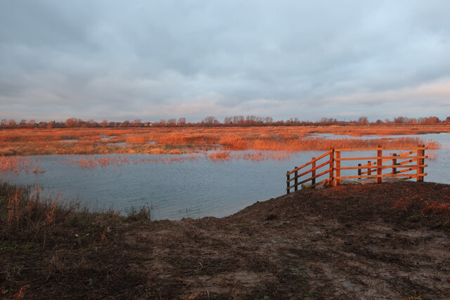
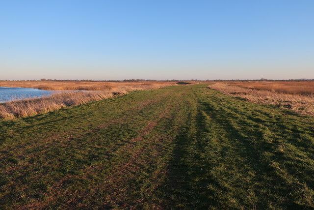
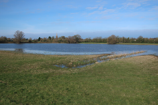
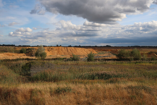
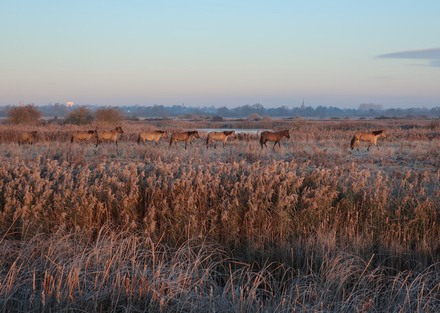
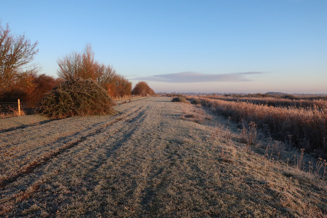
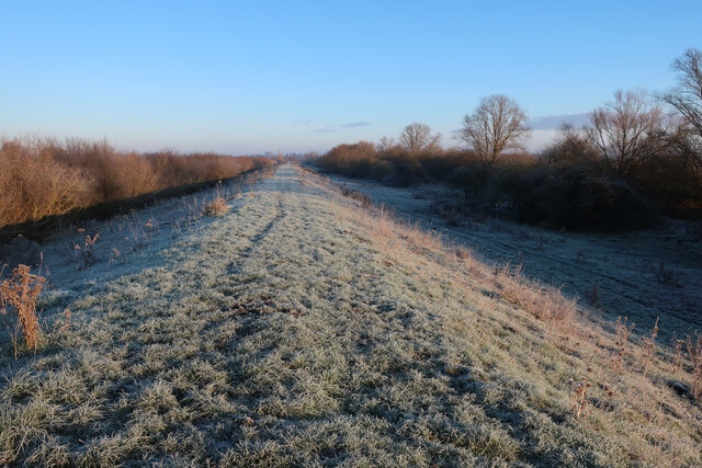
Berry Fen is a picturesque area located in the county of Huntingdonshire, England. Situated amidst rolling downs and sprawling moorlands, it offers a unique and captivating landscape for nature enthusiasts and outdoor lovers. Covering an area of approximately 200 acres, Berry Fen is characterized by its diverse flora and fauna, making it a haven for wildlife.
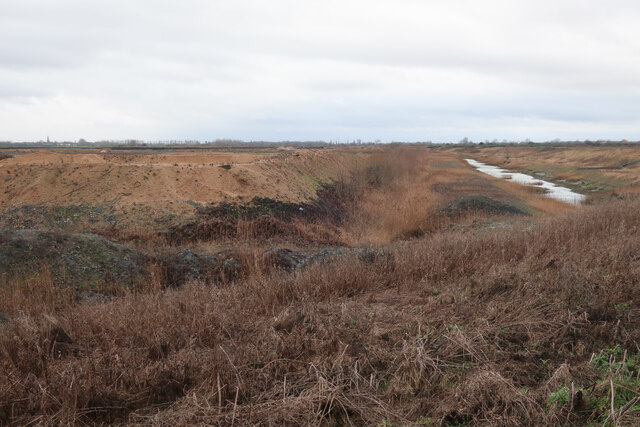
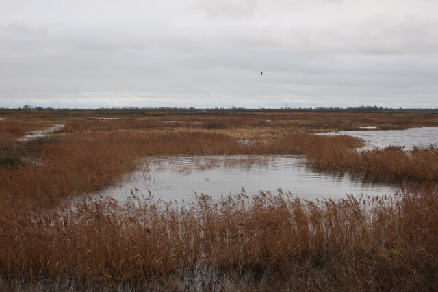
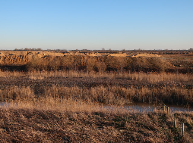
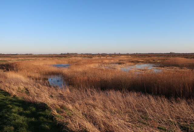
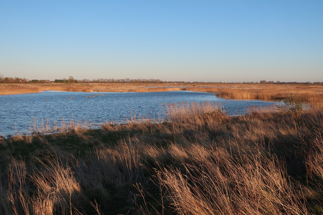
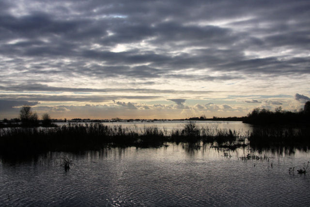
The fen is primarily composed of wetlands, featuring an intricate network of marshes, reed beds, and water channels. These wetland habitats provide a rich breeding ground for a variety of bird species, including the rare and elusive bittern. Birdwatchers flock to Berry Fen in search of these beautiful creatures, as well as other notable species such as marsh harriers, kingfishers, and warblers.
Surrounding the wetlands are open grasslands, which are home to a multitude of wildflowers, such as orchids, cowslips, and meadow buttercups. These vibrant blooms create a stunning display of colors during the spring and summer months, attracting insects like butterflies and bees.
Berry Fen also boasts several walking trails, allowing visitors to explore its natural wonders at their own pace. One of the most popular routes takes visitors through the heart of the fen, offering breathtaking views of the surrounding downs and moorlands. Additionally, there are designated bird hides strategically placed along the trails, providing an excellent vantage point for birdwatching and wildlife observation.
Overall, Berry Fen in Huntingdonshire is a captivating and biodiverse area, offering a serene escape into nature. With its wetlands, grasslands, and walking trails, it is a true gem for outdoor enthusiasts seeking to immerse themselves in the beauty of the English countryside.
If you have any feedback on the listing, please let us know in the comments section below.
Berry Fen Images
Images are sourced within 2km of 52.345383/0.011863988 or Grid Reference TL3773. Thanks to Geograph Open Source API. All images are credited.
![Houses at Bluntisham A semi-detached pair at the junction of Holliday&#039;s Road with Rectory Road [A1123]. The RH one looks as if it has nest boxes for swifts, or other birds, under the eaves?](https://s1.geograph.org.uk/geophotos/07/17/66/7176609_75df0a8f.jpg)
![The Colne Road [B1050] at Earith The brick building is a gas governor.](https://s3.geograph.org.uk/geophotos/07/17/74/7177435_f9677a8f.jpg)
![Cook's Drove, Earith At its junction with Colne Road [B1050].](https://s3.geograph.org.uk/geophotos/07/17/74/7177443_dec662d9.jpg)

Berry Fen is located at Grid Ref: TL3773 (Lat: 52.345383, Lng: 0.011863988)
Administrative County: Cambridgeshire
District: Huntingdonshire
Police Authority: Cambridgeshire
What 3 Words
///newsreel.wove.snapper. Near Bluntisham, Cambridgeshire
Nearby Locations
Related Wikis

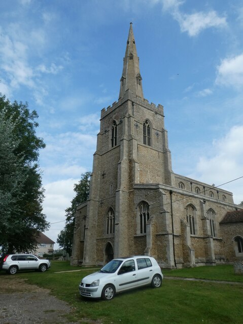
Bluntisham
Bluntisham is a village and civil parish in Cambridgeshire, England. The population of the civil parish at the 2011 census was 2,003. Bluntisham lies approximately...

Earith
Earith is a village and civil parish in Cambridgeshire, England. Lying approximately 10 miles (16 km) east of Huntingdon, Earith is situated within Huntingdonshire...

Bluntisham railway station
Bluntisham railway station was a station in Bluntisham, Cambridgeshire on the Ely and St Ives Railway. The station closed for regular passenger services...

Berry Fen
Berry Fen is a 15.3-hectare (38-acre) biological Site of Special Scientific Interest on the western outskirts of Earith in Cambridgeshire.This neutral...

Cambridgeshire
Cambridgeshire (abbreviated Cambs.) is a ceremonial county in the East of England and East Anglia. It is bordered by Lincolnshire to the north, Norfolk...
List of Sites of Special Scientific Interest in Cambridgeshire
Cambridgeshire is a county in eastern England, with an area of 339,746 hectares (1,312 sq mi) and a population as of mid-2015 of 841,218. It is crossed...

List of local nature reserves in Cambridgeshire
Cambridgeshire is a county in eastern England, with an area of 1,308 square miles (3,390 km2) and a population as of 2011 of 708,719. It is crossed by...

Colne, Cambridgeshire
Colne is a village and civil parish in Cambridgeshire, England. Colne lies about 9 miles (14 km) east of Huntingdon; the villages of Bluntisham, Woodhurst...
Nearby Amenities
Located within 500m of 52.345383,0.011863988Have you been to Berry Fen?
Leave your review of Berry Fen below (or comments, questions and feedback).