The Long Holt

Wood, Forest in Huntingdonshire Huntingdonshire

England

The Long Holt

St Mary, Bluntisham: late September 2021
St Mary, Bluntisham: late September 2021 Credit: Basher Eyre

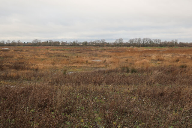
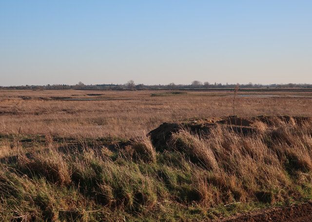
The Long Holt is a woodland area located in Huntingdonshire, a county in the eastern part of England. Spanning over several hectares, this forest is a significant natural attraction in the region. The Long Holt is predominantly composed of deciduous trees, including oak, beech, and ash, which create a breathtaking canopy throughout the area.

The woodland is characterized by its rich biodiversity, serving as a habitat for a variety of flora and fauna species. The forest floor is carpeted with an assortment of wildflowers, ferns, and mosses, contributing to its vibrant and lush appearance. Wildlife enthusiasts can spot numerous animals within The Long Holt, such as deer, foxes, rabbits, and a wide array of bird species, making it an ideal location for birdwatching and nature photography.

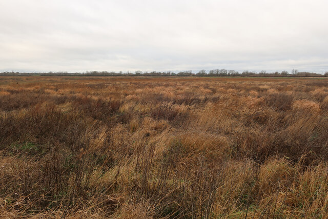
The Long Holt offers an extensive network of walking trails, allowing visitors to explore its natural beauty at their own pace. These trails range in difficulty, accommodating both casual strollers and seasoned hikers. Along the paths, there are several designated picnic areas, providing the opportunity for visitors to relax and enjoy a meal amidst the serene surroundings.

Managed by local conservation authorities, The Long Holt is also a site of environmental importance. Efforts have been made to preserve the woodland's natural integrity and protect its diverse ecosystem. As a result, visitors to The Long Holt can experience a truly authentic and unspoiled natural environment. Whether for recreational purposes, leisurely walks, or educational outings, The Long Holt offers a captivating experience for nature enthusiasts of all ages.

If you have any feedback on the listing, please let us know in the comments section below.

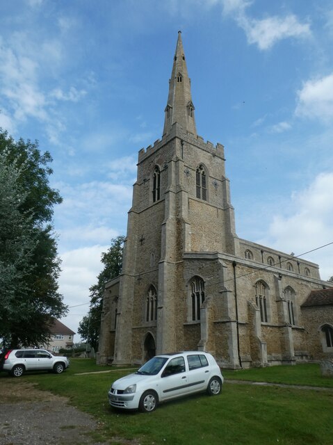
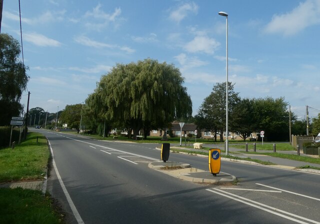
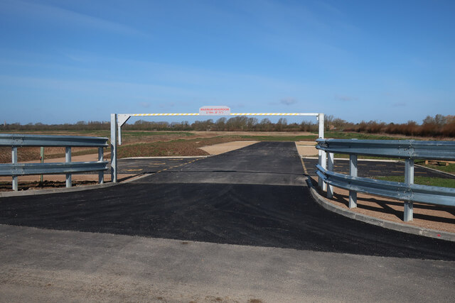
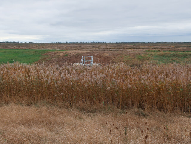
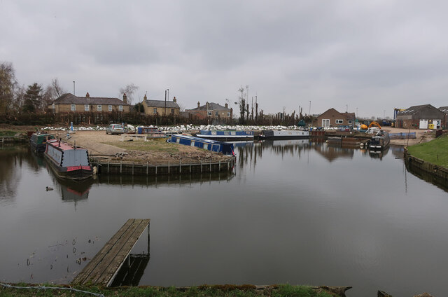
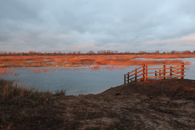
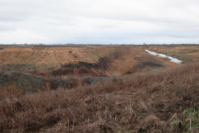
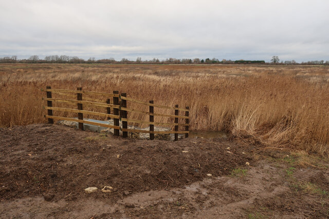
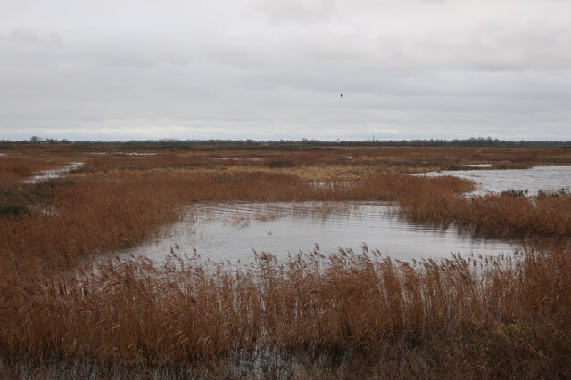
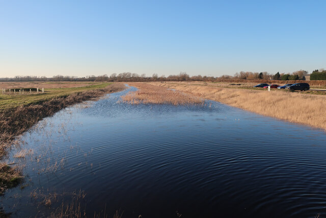
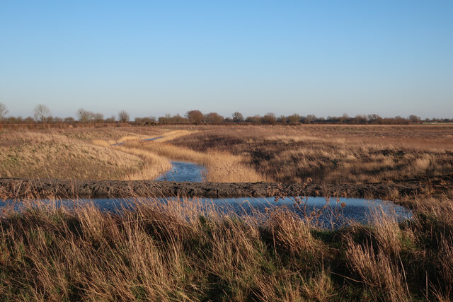
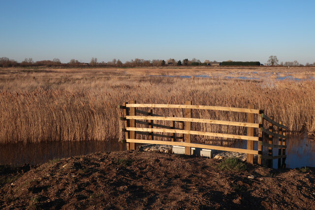
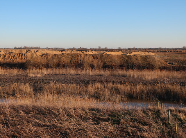
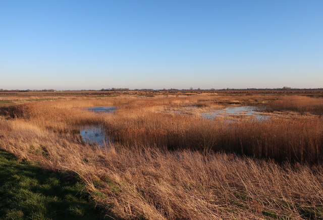
The Long Holt Images

Images are sourced within 2km of 52.346737/0.018444284 or Grid Reference TL3773. Thanks to Geograph Open Source API. All images are credited.

St Mary, Bluntisham: late September 2021
Approaching the junction of the A1123 with Holliday's Road
Ouse Fen RSPB car park A new car park off the B1050 near Earith, very soon before it opened.
Ouse Fen RSPB car park
A new car park off the B1050 near Earith, very soon before it opened.
New sluice at Ouse Fen Allowing water level control of the next phase of the wetland creation project that is following the sand and gravel quarry.
New sluice at Ouse Fen
Allowing water level control of the next phase of the wetland creation project that is following the sand and gravel quarry.
Hermitage Marina
Hermitage Marina
Crane's Fen (Cell 8) flooded After a prolonged wait for the sluices, the northern end of Ouse Fen RSPB reserve is starting to be flooded to make more reedbeds.
Crane's Fen (Cell 8) flooded
After a prolonged wait for the sluices, the northern end of Ouse Fen RSPB reserve is starting to be flooded to make more reedbeds.
Gravel works by Ouse Fen The Hanson sand and gravel quarry is being turned into wetland habitat by the RSPB after each area is completed.
Gravel works by Ouse Fen
The Hanson sand and gravel quarry is being turned into wetland habitat by the RSPB after each area is completed.
Lockspit's Mere (Cell 9) The northern end of Ouse Fen RSPB, soon to be flooded to create new wetland habitat. The area has been lowered by a sand and gravel quarry, allowing it to become wetland, after landscaping and water level management work.
Lockspit's Mere (Cell 9)
The northern end of Ouse Fen RSPB, soon to be flooded to create new wetland habitat. The area has been lowered by a sand and gravel quarry, allowing it to become wetland, after landscaping and water level management work.
Crane's Fen (Cell 8) flooded After a prolonged wait for the sluices, the northern end of Ouse Fen RSPB reserve is starting to be flooded to make more reedbeds.
Crane's Fen (Cell 8) flooded
After a prolonged wait for the sluices, the northern end of Ouse Fen RSPB reserve is starting to be flooded to make more reedbeds.
Ouse Fen canal The water levels in the reedbed cells in the reserve can be controlled, supplied by the canal around the outside. The water is currently from the active quarry being drained, in the long term it will come from the river during high water levels.
Ouse Fen canal
The water levels in the reedbed cells in the reserve can be controlled, supplied by the canal around the outside. The water is currently from the active quarry being drained, in the long term it will come from the river during high water levels.
Cell 10 to be, Ouse Fen After the sand and gravel quarry has moved on from an area it is reprofiled to become part of the Ouse Fen RSPB wetland reserve. This cell is landscaped but not flooded.
Cell 10 to be, Ouse Fen
After the sand and gravel quarry has moved on from an area it is reprofiled to become part of the Ouse Fen RSPB wetland reserve. This cell is landscaped but not flooded.
Lockspit's Mere (Cell 9) This area was arable land, then a sand and gravel quarry, then profiled to be a wetland nature reserve and is now finally flooded. See <a href="https://www.geograph.org.uk/photo/3207556">TL3974 : No 18 Drove</a>, <a href="https://www.geograph.org.uk/photo/4044817">TL3974 : Stripped and ready for extraction</a>, <a href="https://www.geograph.org.uk/photo/4664779">TL3974 : Hanson Aggregates quarry</a> and <a href="https://www.geograph.org.uk/photo/7062680">TL3974 : Lockspit's Mere (Cell 9)</a>
Lockspit's Mere (Cell 9)
This area was arable land, then a sand and gravel quarry, then profiled to be a wetland nature reserve and is now finally flooded. See TL3974 : No 18 Drove, TL3974 : Stripped and ready for extraction, TL3974 : Hanson Aggregates quarry and TL3974 : Lockspit's Mere (Cell 9)
Gravel quarry by Ouse Fen Once the quarrying is done the area will be profiled into a further wetland cell and added to the nature reserve. It was previously arable land <a href="https://www.geograph.org.uk/photo/4134384">TL3973 : Wheat field by Long Holme Drove</a>
Gravel quarry by Ouse Fen
Once the quarrying is done the area will be profiled into a further wetland cell and added to the nature reserve. It was previously arable land TL3973 : Wheat field by Long Holme Drove
Long Holme (Cell 7), Ouse Fen RSPB Former sand and gravel quarry, and arable land before that.
Long Holme (Cell 7), Ouse Fen RSPB
Former sand and gravel quarry, and arable land before that.
Show me another place!

The Long Holt is located at Grid Ref: TL3773 (Lat: 52.346737, Lng: 0.018444284)

Administrative County: Cambridgeshire

District: Huntingdonshire

Police Authority: Cambridgeshire

What 3 Words

///averages.bolts.formless. Near Bluntisham, Cambridgeshire

Related Wikis

Bluntisham

Bluntisham is a village and civil parish in Cambridgeshire, England. The population of the civil parish at the 2011 census was 2,003. Bluntisham lies approximately...

Earith

Earith is a village and civil parish in Cambridgeshire, England. Lying approximately 10 miles (16 km) east of Huntingdon, Earith is situated within Huntingdonshire...

Berry Fen

Berry Fen is a 15.3-hectare (38-acre) biological Site of Special Scientific Interest on the western outskirts of Earith in Cambridgeshire.This neutral...

Bluntisham railway station

Bluntisham railway station was a station in Bluntisham, Cambridgeshire on the Ely and St Ives Railway. The station closed for regular passenger services...

Colne, Cambridgeshire

Colne is a village and civil parish in Cambridgeshire, England. Colne lies about 9 miles (14 km) east of Huntingdon; the villages of Bluntisham, Woodhurst...

New Bedford River

The New Bedford River, also known as the Hundred Foot Drain because of the distance between the tops of the two embankments on either side of the river...

Old Bedford River

The Old Bedford River is an artificial, partial diversion of the waters of the River Great Ouse in the Fens of Cambridgeshire, England. It was named after...

Cambridgeshire

Cambridgeshire (abbreviated Cambs.) is a ceremonial county in the East of England and East Anglia. It is bordered by Lincolnshire to the north, Norfolk...

Nearby Amenities

Located within 500m of 52.346737,0.018444284
Barrier: kissing_gate
Lat/Long: 52.349839/0.0236359
Berry Fen
Place: locality
Lat/Long: 52.3475696/0.016819
Barrier: stile
Step Count: 2
Stile: stepover
Lat/Long: 52.3465711/0.0203093
Natural: rock
Lat/Long: 52.3464267/0.0203164
Waterway: sluice_gate
Lat/Long: 52.3490419/0.0217483
The data included in this document is from www.openstreetmap.org. The data is made available under ODbL.

Have you been to The Long Holt?

Leave your review of The Long Holt below (or comments, questions and feedback).