Lolworth Spring

Wood, Forest in Cambridgeshire South Cambridgeshire

England

Lolworth Spring

Lolworth Church looking N
Lolworth Church looking N Credit: mym

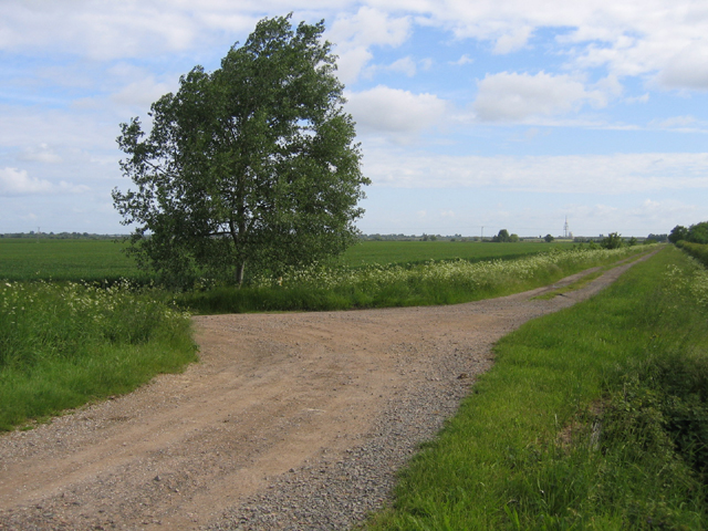
Lolworth Spring is a picturesque woodland located in the county of Cambridgeshire, England. Situated near the village of Lolworth, this enchanting forest covers an area of approximately 50 acres and is a popular destination for nature enthusiasts and hikers.

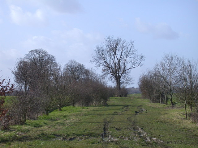
The woodland is characterized by a diverse range of trees, including oak, beech, and birch, which create a lush and vibrant canopy during the spring and summer months. The forest floor is adorned with a plethora of wildflowers, adding a splash of color to the landscape. It is also home to various wildlife, such as deer, foxes, and a variety of bird species, making it a haven for animal lovers and birdwatchers.

One of the key attractions of Lolworth Spring is the natural spring that runs through the woodland. The crystal-clear water cascades down a small stream, creating a tranquil and serene atmosphere. Visitors can enjoy the soothing sound of running water while exploring the surrounding area.

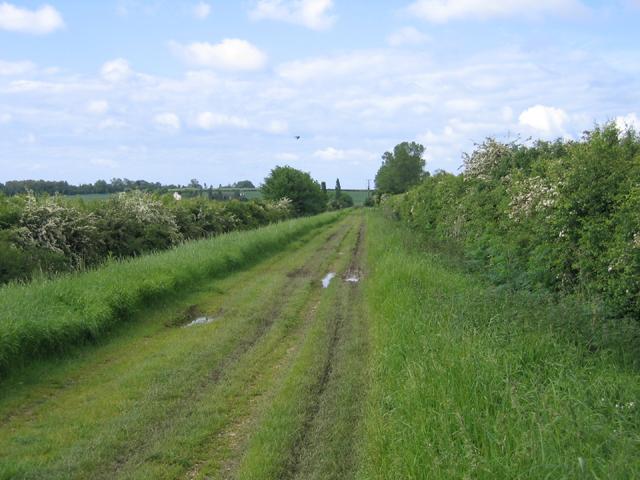
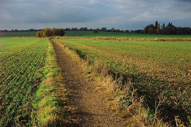
The forest offers a network of well-maintained walking trails, allowing visitors to explore its beauty at their own pace. These paths wind through the woodland, providing opportunities to discover hidden gems, such as peaceful glades and secluded picnic spots.

Lolworth Spring is easily accessible, with a car park located nearby for visitors' convenience. Whether one is looking for a peaceful retreat, a scenic walk, or a chance to immerse oneself in nature, Lolworth Spring is a captivating destination that offers a refreshing escape from the hustle and bustle of everyday life.

If you have any feedback on the listing, please let us know in the comments section below.

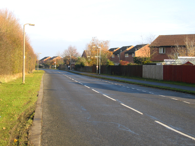
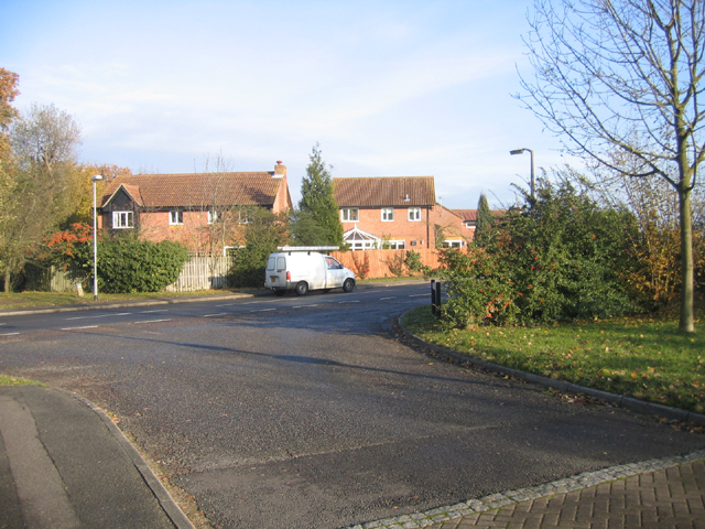
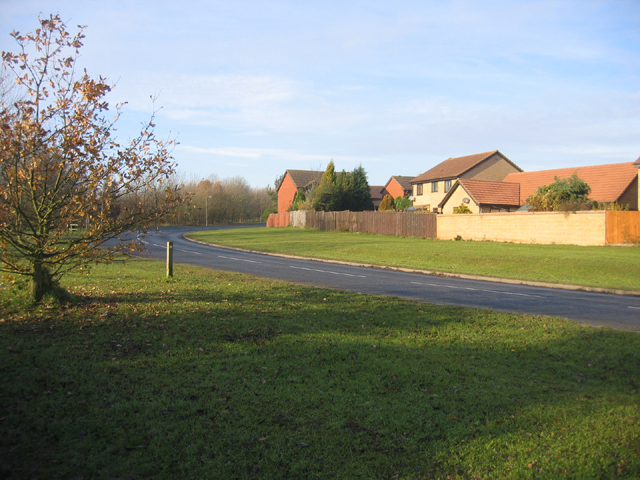
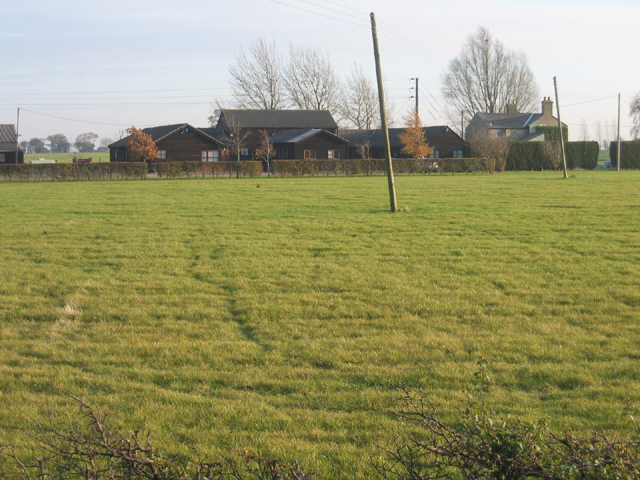
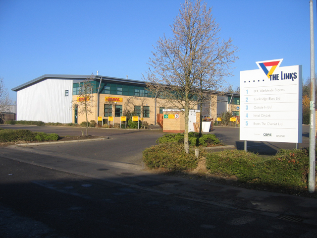
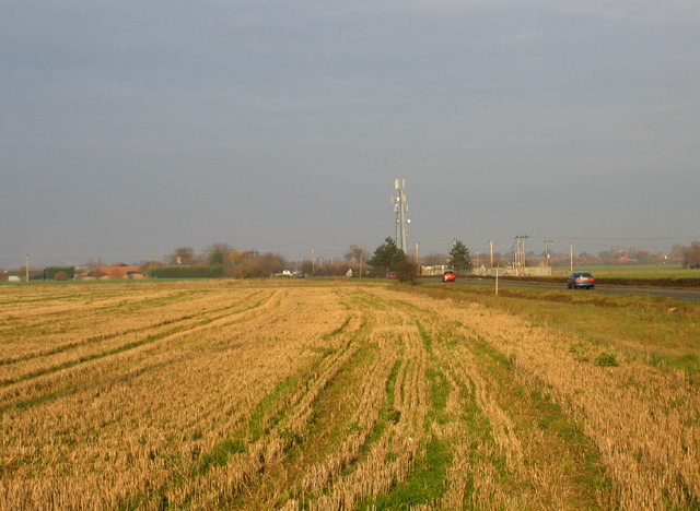
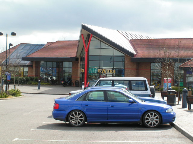
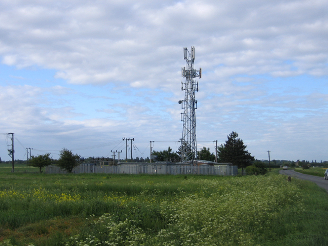
Lolworth Spring Images

Images are sourced within 2km of 52.260324/0.014429766 or Grid Reference TL3764. Thanks to Geograph Open Source API. All images are credited.

Lolworth Church looking N
Saxon Way, Bar Hill, Cambs Saxon Way skirts the western part of the settlement, just south of the A14 road; the belt of trees (left) separates the housing estates from the open countryside and village of Lolworth.
Saxon Way, Bar Hill, Cambs
Saxon Way skirts the western part of the settlement, just south of the A14 road; the belt of trees (left) separates the housing estates from the open countryside and village of Lolworth.
Crafts Way, Bar Hill, Cambs View N of Crafts Hill and the perimeter road from Thruffle Way.
Crafts Way, Bar Hill, Cambs
View N of Crafts Hill and the perimeter road from Thruffle Way.
Saxon Way, Bar Hill, Cambs – view of the perimeter road at the southern end of the village.
Saxon Way, Bar Hill, Cambs
– view of the perimeter road at the southern end of the village.
New Close Farm Business Park, Longstanton, Cambs – view from the B1050 Hatton's Road.
New Close Farm Business Park, Longstanton, Cambs
– view from the B1050 Hatton's Road.
The Links trading estate, Bar Hill, Cambs Bar Hill is a compact, modern, planned village founded in 1967; the Links is in the SE corner of the square adjacent to the A14 road.
The Links trading estate, Bar Hill, Cambs
Bar Hill is a compact, modern, planned village founded in 1967; the Links is in the SE corner of the square adjacent to the A14 road.
Farmland beside Hatton's Road, Longstanton, Cambs – view NE along the B1050 towards the village from the centre of the square; the prominent mast is just inside TL3865.
Farmland beside Hatton's Road, Longstanton, Cambs
– view NE along the B1050 towards the village from the centre of the square; the prominent mast is just inside TL3865.
Cambridge services Busy services off the busy A14
Cambridge services
Busy services off the busy A14
Communications mast, Longstanton, Cambs a prominent feature beside Hatton's Road from the A14 Bar Hill junction.
Communications mast, Longstanton, Cambs
a prominent feature beside Hatton's Road from the A14 Bar Hill junction.
Utton's Drove, Swavesey, Cambs – view SW towards the A14.
Utton's Drove, Swavesey, Cambs
– view SW towards the A14.
Meeting of bridleways, Swavesey, Cambs Tipplers' Road (left) joining Utton's Drove in the NW corner of the square.
Meeting of bridleways, Swavesey, Cambs
Tipplers' Road (left) joining Utton's Drove in the NW corner of the square.
Hall Farm:  Meridian Zero The Greenwich Meridian passes through Hall Farm, the first prominent building in Lolworth as you approach along the track from Childerley.
Hall Farm: Meridian Zero
The Greenwich Meridian passes through Hall Farm, the first prominent building in Lolworth as you approach along the track from Childerley.
Bridleway near to Bar Hill, Cambridgeshire Public Bridleway leading from Longstanton to the Huntingdon Road near Bar Hill. Suitable for horses or 4x4s -  not pedestrians or cyclists like the photographer!
Bridleway near to Bar Hill, Cambridgeshire
Public Bridleway leading from Longstanton to the Huntingdon Road near Bar Hill. Suitable for horses or 4x4s - not pedestrians or cyclists like the photographer!
Footpath from Lolworth to Boxworth The footpath is wide and pleasant although there is an audible reminder of the  presence of A14 road less than a mile away.
Footpath from Lolworth to Boxworth
The footpath is wide and pleasant although there is an audible reminder of the presence of A14 road less than a mile away.
Lolworth village The village hall is on the left and the wheelie bins show it's waste collection day.
Lolworth village
The village hall is on the left and the wheelie bins show it's waste collection day.
Children's recreation area A small plot at end of village with some play equipment.
Children's recreation area
A small plot at end of village with some play equipment.
Lolworth village hall The hall bears plaques for "Best kept village" awards.
Lolworth village hall
The hall bears plaques for "Best kept village" awards.
Footpath to Lolworth from Bar Hill This surfaced path provides good walking even in the wettest of winters when fields are waterlogged.
Footpath to Lolworth from Bar Hill
This surfaced path provides good walking even in the wettest of winters when fields are waterlogged.
Show me another place!

Lolworth Spring is located at Grid Ref: TL3764 (Lat: 52.260324, Lng: 0.014429766)

Administrative County: Cambridgeshire

District: South Cambridgeshire

Police Authority: Cambridgeshire

What 3 Words

///rips.rust.width. Near Bar Hill, Cambridgeshire

Nearby Locations

Lolworth Spring

Related Wikis

Lolworth

Lolworth is a small village and civil parish in the district of South Cambridgeshire, in the county of Cambridgeshire, England, located approximately 8...

Bar Hill

Bar Hill is a purpose-built village with a population of 4,000 about 4 miles (7 km) northwest of Cambridge, England on the A14 road, just east of the Prime...

Dry Drayton

Dry Drayton is a village and civil parish about 5 miles (8 km) northwest of Cambridge in Cambridgeshire, England, listed as Draitone in the Domesday Book...

Boxworth

Boxworth is a village in South Cambridgeshire, situated about eight miles to the north-west of Cambridge. It falls under the Papworth Everard and Caxton...

Longstanton

Longstanton is a village and civil parish in South Cambridgeshire, England, 6 miles (9.7 km) north-west of Cambridge city centre. Longstanton occupies...

St Michael's Church, Longstanton

St Michael's Church is a redundant Anglican church in the village of Longstanton, Cambridgeshire, England. It is recorded in the National Heritage List...

Childerley

Childerley, also known as Great Childerley and Little Childerly, was a small rural village in the county of Cambridgeshire in the East of England, United...

RAF Oakington

Royal Air Force Oakington or more simply RAF Oakington was a Royal Air Force station located 0.5 miles (0.80 km) north of Oakington, Cambridgeshire, England...

Nearby Amenities

Located within 500m of 52.260324,0.014429766
Motorway Junction
Bar Hill
Ref: 25
Lat/Long: 52.2602165/0.0175109
Grange Farm
Landuse: farm
Note Retag: CS #48756035
Lat/Long: 52.2588518/0.0084106
Disused Amenity: fuel
Old Name: Total
Lat/Long: 52.259329/0.0182661
Communication Mobile Phone: yes
Height: 15
Man Made: mast
Source: Bing;survey
Tower Construction: lattice
Tower Type: communication
Lat/Long: 52.2597022/0.0176143
Line Attachment: anchor
Location Transition: yes
Power: pole
Lat/Long: 52.2632642/0.0174211
Power: pole
Lat/Long: 52.2623317/0.0196983
Power: pole
Lat/Long: 52.2618474/0.0208972
Power: pole
Lat/Long: 52.262793/0.0185556
Mini Roundabout
Source: Bing
Lat/Long: 52.2579031/0.0182627
Disused Amenity: restaurant
Old Name: Little Chef
Lat/Long: 52.2589512/0.0190133
Cuisine: burger
Disused Amenity: fast_food
Old Name: Burger King
Lat/Long: 52.2590078/0.0188827
Location Transition: yes
Power: pole
Ref: 428446
Source Position: Maxar
Lat/Long: 52.2601892/0.0188613
Material: wood
Power: pole
Source Position: Maxar
Lat/Long: 52.260268/0.0189632
Material: wood
Power: pole
Source Position: Maxar
Lat/Long: 52.2608098/0.0195801
Power: pole
Source Position: Maxar
Lat/Long: 52.2613285/0.0201863
Domino Printing Sciences
Man Made: works
Lat/Long: 52.258049/0.0180266
Colour: red and white
Marker: aerial
Utility: gas
Lat/Long: 52.2604815/0.0180412
Colour: red and white
Marker: aerial
Utility: gas
Lat/Long: 52.2596854/0.0172605
Colour: red and white
Marker: aerial
Utility: gas
Lat/Long: 52.2598332/0.0173996
Colour: yellow
Marker: post
Utility: gas
Lat/Long: 52.2604905/0.0180511
Colour: yellow
Marker: post
Utility: gas
Lat/Long: 52.260471/0.0180313
Colour: red and white
Marker: aerial
Utility: gas
Lat/Long: 52.2602827/0.0178284
Crossing
Lat/Long: 52.2623319/0.0127095
Barrier: kissing_gate
Lat/Long: 52.2600587/0.0076767
The data included in this document is from www.openstreetmap.org. The data is made available under ODbL.

Have you been to Lolworth Spring?

Leave your review of Lolworth Spring below (or comments, questions and feedback).