Drivers Green
Downs, Moorland in Surrey Tandridge
England
Drivers Green
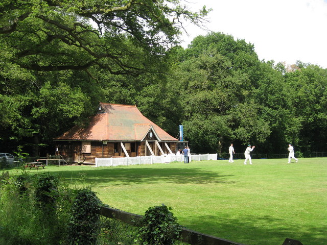
Drivers Green is a residential area located in Surrey, England. It is situated in the vicinity of Downs and Moorland, two prominent natural features of the region. The area is known for its picturesque landscapes, greenery, and tranquil surroundings, making it an ideal place to live for those seeking a peaceful lifestyle.
The Downs, a vast expanse of rolling hills and open spaces, is a popular destination for outdoor enthusiasts. It offers opportunities for hiking, picnicking, and enjoying the scenic beauty of the countryside. The Moorland, on the other hand, is characterized by its heather-covered terrain and diverse flora and fauna. It provides a unique habitat for various bird species and is a haven for nature lovers and birdwatchers.
Drivers Green, being nestled between the Downs and Moorland, benefits from the proximity to these natural attractions. Residents can easily access the walking trails and recreational activities offered by the Downs, providing them with ample opportunities for exercise and relaxation. The area also boasts a rich wildlife population, and residents often spot deer, rabbits, and a variety of bird species in their surroundings.
Although Drivers Green is primarily a residential area, it is well-connected to nearby towns and cities, such as Surrey and London. This allows residents to enjoy the tranquility of rural living while still having access to the amenities and services provided by urban areas.
Overall, Drivers Green in Surrey offers a unique blend of natural beauty, peaceful living, and convenient access to nearby urban centers, making it an attractive place to call home for nature lovers and those seeking a balanced lifestyle.
If you have any feedback on the listing, please let us know in the comments section below.
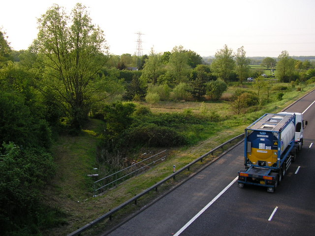
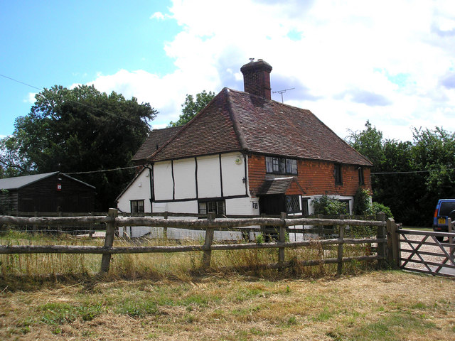
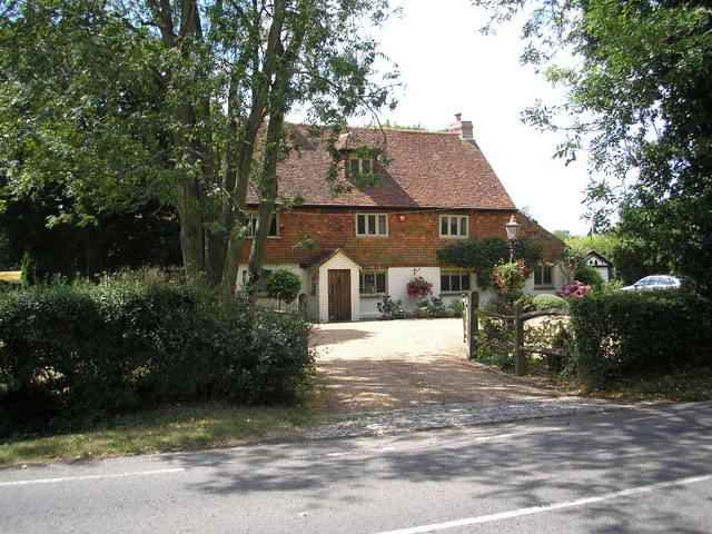
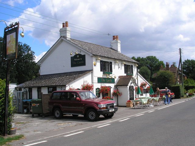
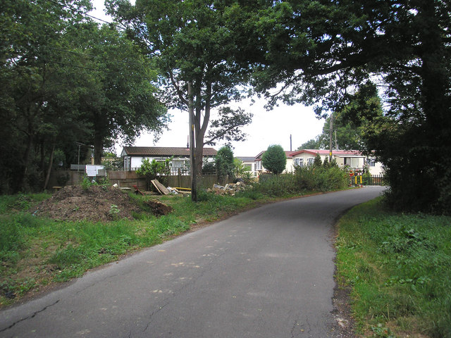
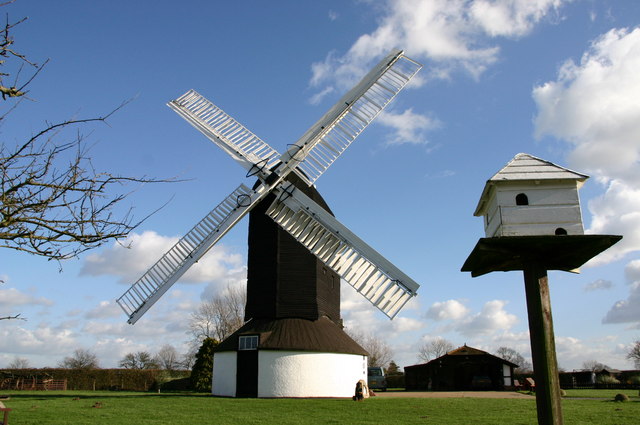
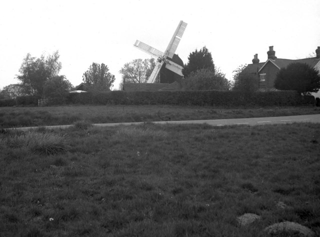
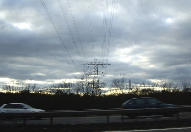
Drivers Green Images
Images are sourced within 2km of 51.187097/-0.12230268 or Grid Reference TQ3144. Thanks to Geograph Open Source API. All images are credited.
Drivers Green is located at Grid Ref: TQ3144 (Lat: 51.187097, Lng: -0.12230268)
Administrative County: Surrey
District: Tandridge
Police Authority: Surrey
What 3 Words
///people.exist.dices. Near Horley, Surrey
Nearby Locations
Related Wikis

Outwood, Surrey
Outwood is a village and civil parish in the Tandridge district of the Surrey weald. == Geography == Outwood is separated from Redhill by the M23 which...

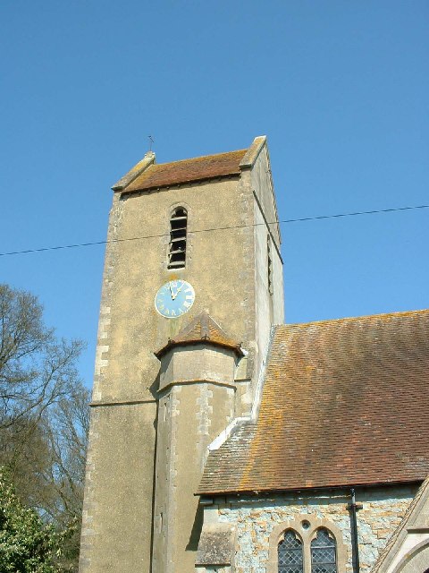
Church of St John the Baptist, Outwood
The Church of St John the Baptist, Outwood, is the parish church of Outwood, Surrey, England. == Clergy and style of worship == Part of the Diocese of...
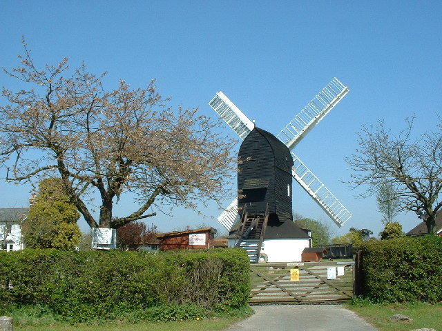
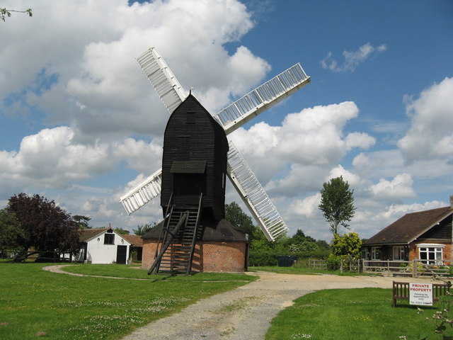
Outwood Windmill
Outwood Windmill is a Grade I listed post mill in Outwood, Surrey. Built in 1665 by Thomas Budgen, a miller from Nutfield in Surrey, it is Britain's oldest...
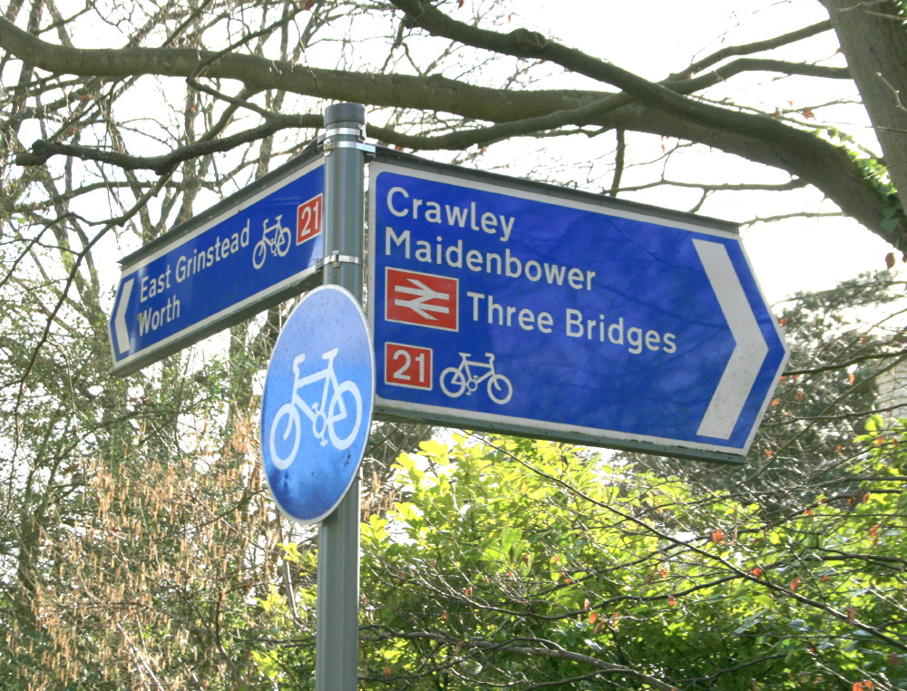
National Cycle Route 21
National Cycle Route 21 (or NCR 21) is part of the United Kingdom's National Cycle Network. It runs from Greenwich in South-East London south to Crawley...

Horne, Surrey
Horne is a rural village and civil parish in the District of Tandridge in Surrey, England. The parish includes the hamlet of Newchapel, where the British...

Burstow
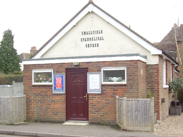
Burstow is a village and civil parish in the Tandridge district of Surrey, England. Its largest settlement is Smallfield. Smallfield is 2.5 miles (4.0...

Oakwood School, Horley
Oakwood School is a community secondary school located in Horley, Surrey, England. It is co-educational and caters for students in the 11–16 age range...

Redhill Aerodrome
Redhill Aerodrome (ICAO: EGKR) is an operational general aviation aerodrome located 1.5 NM (2.8 km; 1.7 mi) south-east of Redhill, Surrey, England, in...
Nearby Amenities
Located within 500m of 51.187097,-0.12230268Have you been to Drivers Green?
Leave your review of Drivers Green below (or comments, questions and feedback).