The Rookery
Wood, Forest in Surrey Tandridge
England
The Rookery
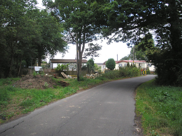
The Rookery is a picturesque woodland area located in Surrey, England. This enchanting forest is known for its dense and diverse collection of trees, making it a haven for nature enthusiasts and hikers alike. Spread across several acres, The Rookery is a hidden gem nestled away from the hustle and bustle of city life.
The forest boasts an impressive array of tree species, including oak, beech, and birch, which create a captivating tapestry of colors throughout the seasons. The woodland floor is adorned with a rich carpet of wildflowers, adding to the area's natural beauty. One can also find a variety of wildlife thriving in this sanctuary, including deer, birds, and small mammals.
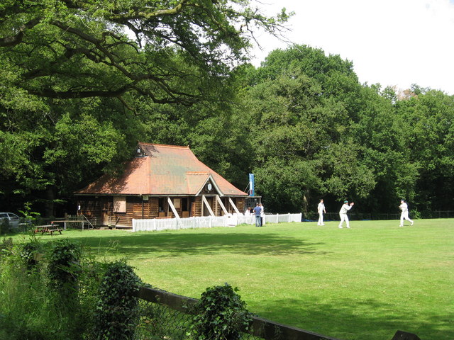
Visitors to The Rookery can explore a network of well-maintained trails, offering a range of difficulty levels suitable for all ages and abilities. Walkers can choose from leisurely strolls to more challenging hikes, allowing them to fully immerse themselves in the tranquility of the surroundings. The forest also features several picnic areas and benches, providing the perfect opportunity to relax and enjoy a packed lunch while taking in the breathtaking views.
The Rookery is not only a haven for nature lovers but also an important educational resource. Local schools frequently organize field trips to the forest, where students can learn about the ecosystem, wildlife conservation, and the history of the area. The forest is also popular among photographers and artists, who are drawn to its natural beauty and serene atmosphere.
Overall, The Rookery in Surrey is a captivating woodland retreat, offering a peaceful escape and a chance to reconnect with nature. Whether you are seeking an adventure-filled hike or a quiet stroll, this forest is sure to leave a lasting impression.
If you have any feedback on the listing, please let us know in the comments section below.
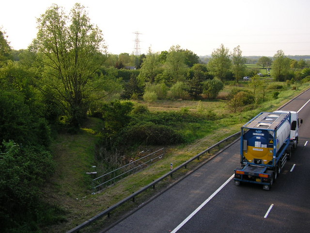
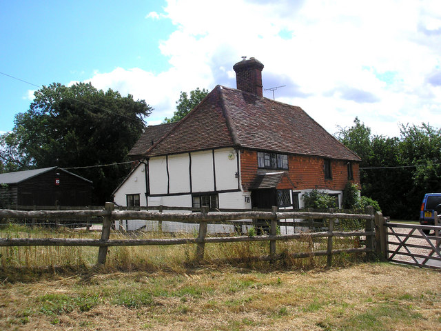
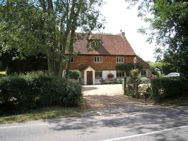
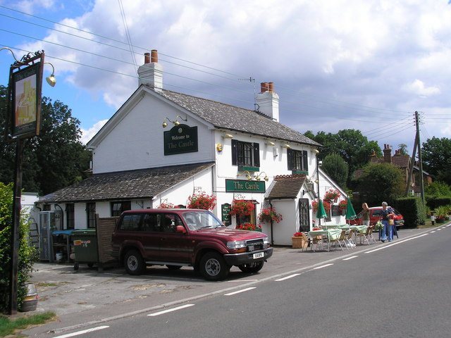
The Rookery Images
Images are sourced within 2km of 51.184598/-0.12293368 or Grid Reference TQ3144. Thanks to Geograph Open Source API. All images are credited.
The Rookery is located at Grid Ref: TQ3144 (Lat: 51.184598, Lng: -0.12293368)
Administrative County: Surrey
District: Tandridge
Police Authority: Surrey
What 3 Words
///first.cared.afford. Near Horley, Surrey
Nearby Locations
Related Wikis

Outwood, Surrey
Outwood is a village and civil parish in the Tandridge district of the Surrey weald. == Geography == Outwood is separated from Redhill by the M23 which...

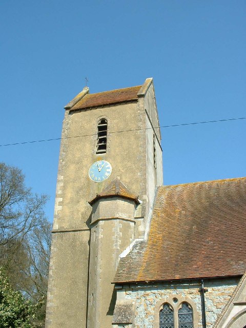
Church of St John the Baptist, Outwood
The Church of St John the Baptist, Outwood, is the parish church of Outwood, Surrey, England. == Clergy and style of worship == Part of the Diocese of...
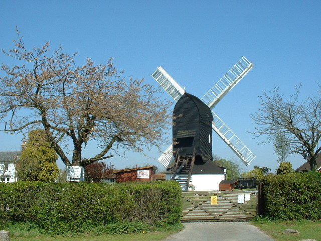
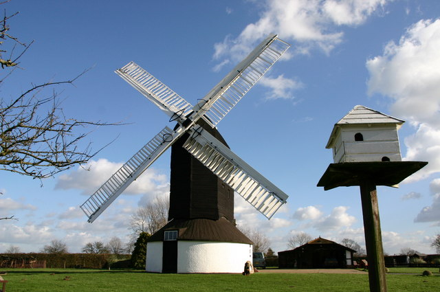
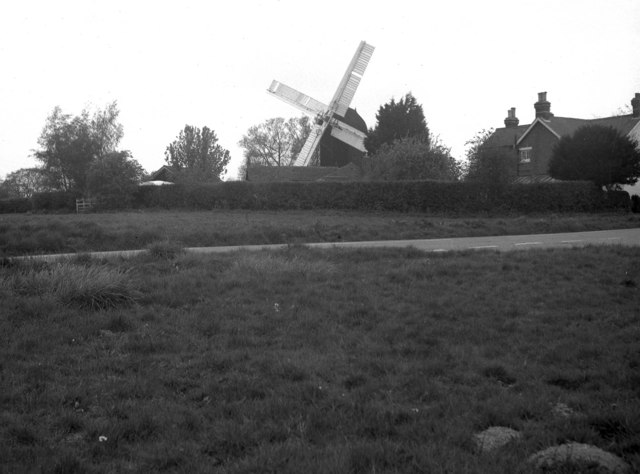
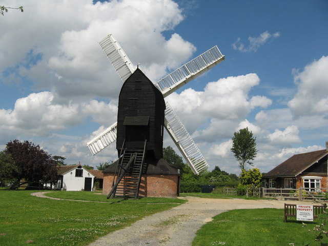
Outwood Windmill
Outwood Windmill is a Grade I listed post mill in Outwood, Surrey. Built in 1665 by Thomas Budgen, a miller from Nutfield in Surrey, it is Britain's oldest...
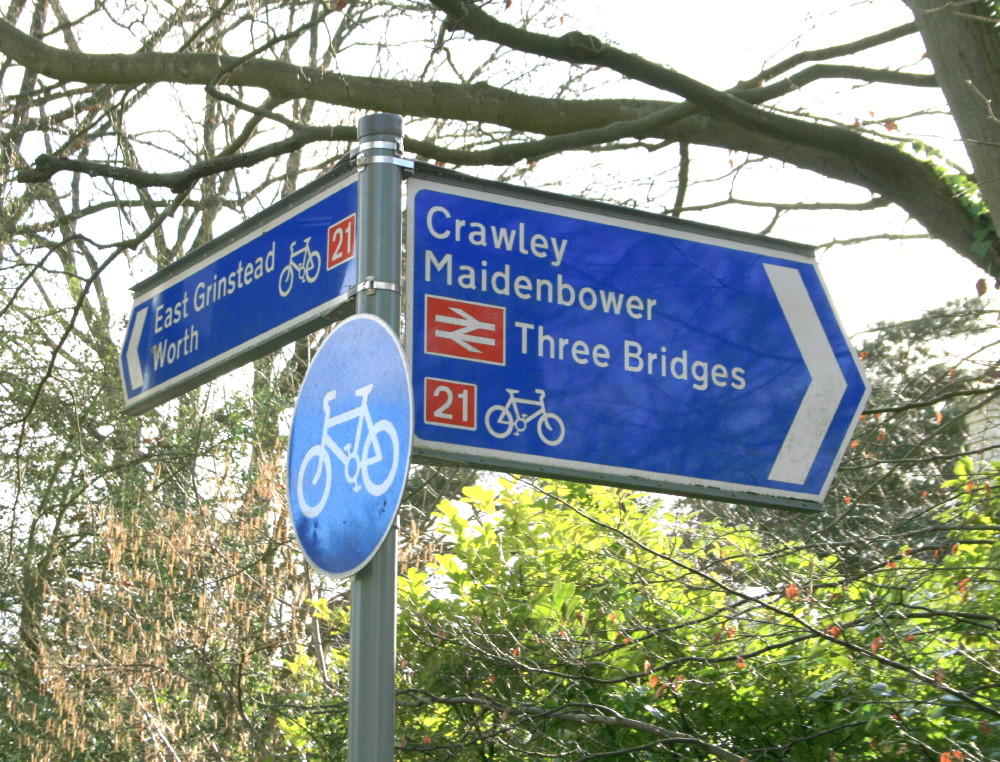
National Cycle Route 21
National Cycle Route 21 (or NCR 21) is part of the United Kingdom's National Cycle Network. It runs from Greenwich in South-East London south to Crawley...

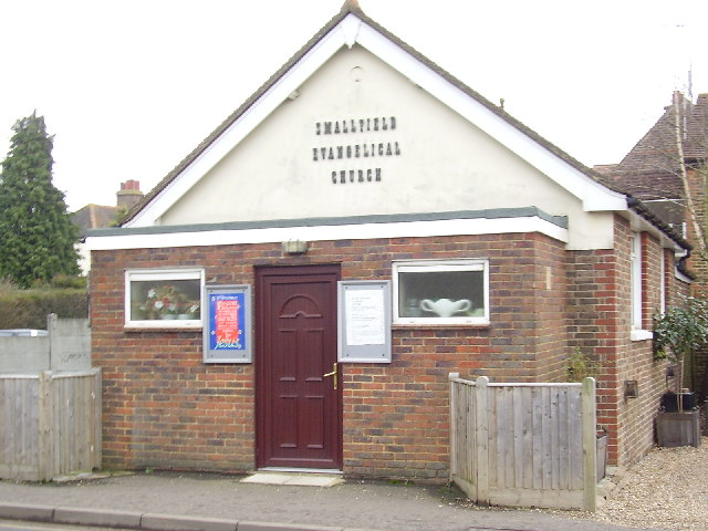
Burstow
Burstow is a village and civil parish in the Tandridge district of Surrey, England. Its largest settlement is Smallfield. Smallfield is 2.5 miles (4.0...

Horne, Surrey
Horne is a rural village and civil parish in the District of Tandridge in Surrey, England. The parish includes the hamlet of Newchapel, where the British...

Oakwood School, Horley
Oakwood School is a community secondary school located in Horley, Surrey, England. It is co-educational and caters for students in the 11–16 age range...

Horley railway station
Horley railway station serves the town of Horley in Surrey, England. It is on the Brighton Main Line, 25 miles 60 chains (41.4 km) down the line from London...
Nearby Amenities
Located within 500m of 51.184598,-0.12293368Have you been to The Rookery?
Leave your review of The Rookery below (or comments, questions and feedback).