Bushey Wood
Wood, Forest in Sussex Mid Sussex
England
Bushey Wood

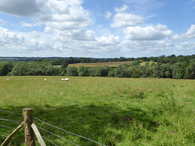
Bushey Wood is a picturesque woodland located in the county of Sussex, England. Situated in the South Downs National Park, this woodland covers an area of approximately 200 hectares (494 acres) and is renowned for its natural beauty and diverse wildlife.
The wood is predominantly composed of oak and beech trees, creating a dense and lush canopy that provides shade and shelter to the various flora and fauna that call it home. It is also home to an array of rare and protected species, including the silver-washed fritillary butterfly and the dormouse.
Trails and footpaths crisscross the wood, allowing visitors to explore its tranquil surroundings and discover its hidden gems. These paths provide access to stunning viewpoints, where one can take in panoramic vistas of the surrounding countryside, including the rolling hills and meandering rivers that dot the area.
Bushey Wood is not only a haven for nature enthusiasts but also a popular destination for outdoor activities such as hiking, birdwatching, and photography. It offers a peaceful and serene environment, providing a welcome escape from the hustle and bustle of everyday life.
The wood is easily accessible, with ample parking facilities and nearby public transport links. Visitors can also find amenities such as picnic areas and toilets within close proximity, ensuring a comfortable and enjoyable visit.
Overall, Bushey Wood is a true gem of Sussex, offering a unique opportunity to immerse oneself in the beauty of nature and experience the tranquility of an ancient woodland.
If you have any feedback on the listing, please let us know in the comments section below.
Bushey Wood Images
Images are sourced within 2km of 51.044741/-0.12819314 or Grid Reference TQ3128. Thanks to Geograph Open Source API. All images are credited.


Bushey Wood is located at Grid Ref: TQ3128 (Lat: 51.044741, Lng: -0.12819314)
Administrative County: West Sussex
District: Mid Sussex
Police Authority: Sussex
What 3 Words
///sneezed.stylist.flamenco. Near Balcombe, West Sussex
Nearby Locations
Related Wikis
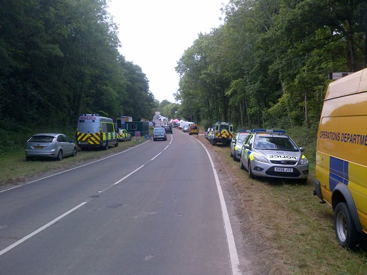
Balcombe drilling protest
The Balcombe drilling protest occurred when test drilling and possible fracking for petroleum were proposed in 2012 near Balcombe, a village in West Sussex...

Balcombe Place
Balcombe Place is a Grade II* Listed Building, built in 1856 in West Sussex, with a south view across the Ouse Valley. It now forms part of The Balcombe...

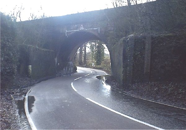
Balcombe railway station
Balcombe railway station is on the Brighton Main Line in England, serving the village of Balcombe, West Sussex. It is 33 miles 64 chains (54.4 km) down...
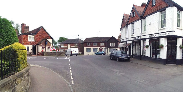
Balcombe
Balcombe is a village and civil parish in the Mid Sussex District of West Sussex, England. It lies 31 miles (50 km) south of London, 16 miles (26 km) north...
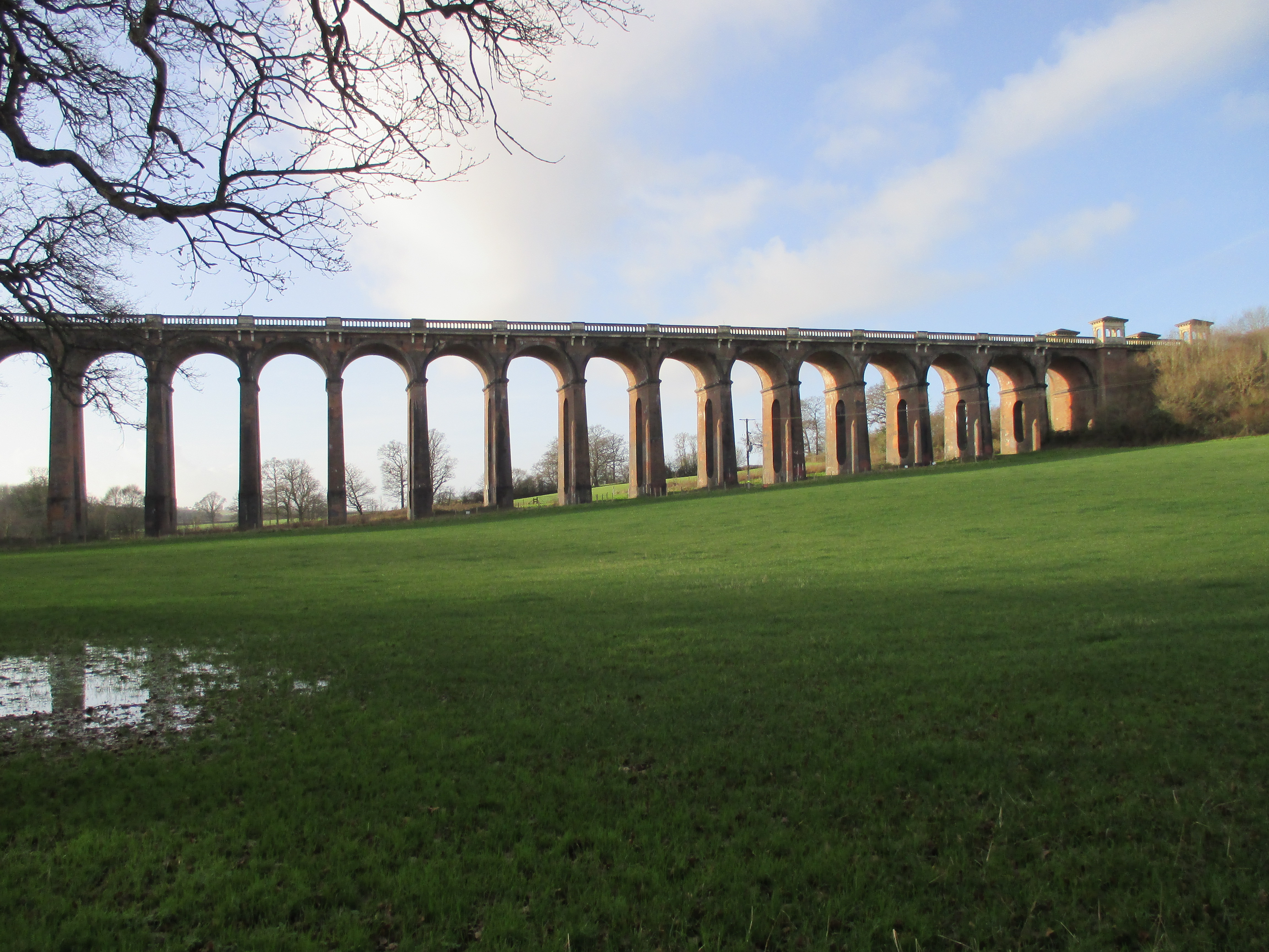
Ouse Valley Viaduct
The Ouse Valley Viaduct (or the Balcombe Viaduct) carries the London-Brighton Railway Line over the River Ouse in Sussex. It is located to the north of...

Mid Sussex (UK Parliament constituency)
Mid Sussex is a constituency represented in the House of Commons of the UK Parliament from 2019 by Mims Davies, a Conservative. She is currently a minister...
Ouse Valley Railway
The Ouse Valley Railway was to have been part of the London, Brighton & South Coast Railway (LBSCR). It was authorised by an Act of Parliament in 1864...
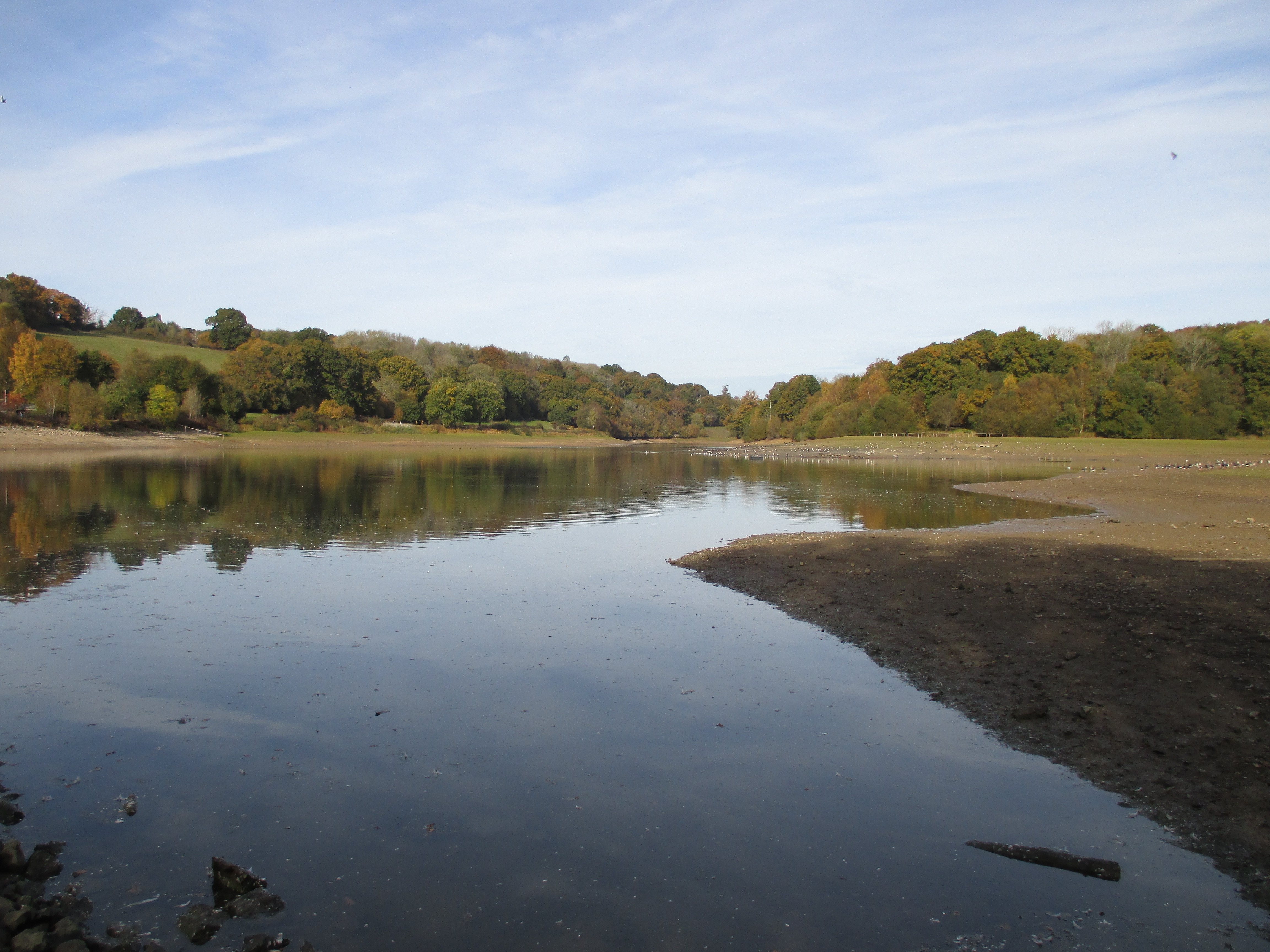
Ardingly Reservoir
Ardingly Reservoir is west of Ardingly in West Sussex. The southern end is a 74.5-hectare (184-acre) Local Nature Reserve owned and managed by South East...
Nearby Amenities
Located within 500m of 51.044741,-0.12819314Have you been to Bushey Wood?
Leave your review of Bushey Wood below (or comments, questions and feedback).