Wetherton Hill Plantation
Wood, Forest in Lincolnshire East Lindsey
England
Wetherton Hill Plantation

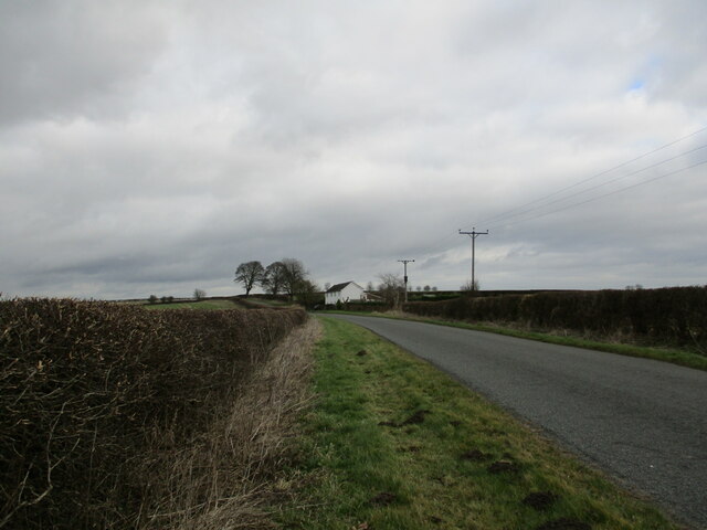
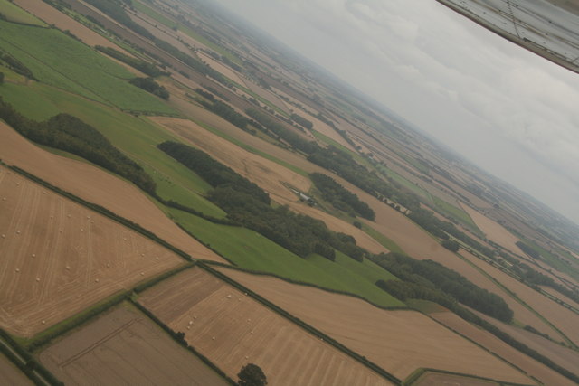
Wetherton Hill Plantation is a picturesque woodland area located in the county of Lincolnshire, England. Situated in the heart of the countryside, this expansive plantation covers a vast area of approximately 500 acres. The plantation is characterized by its dense forests, lush greenery, and rolling hills, making it an idyllic destination for nature enthusiasts and outdoor enthusiasts alike.
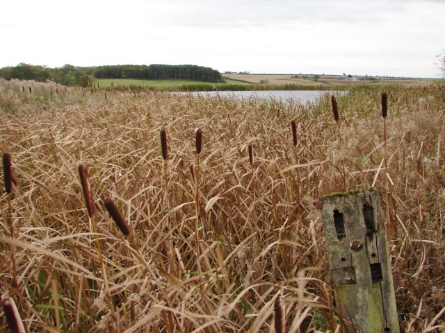
The woodlands of Wetherton Hill Plantation are predominantly composed of a variety of tree species, such as oak, beech, and birch, which provide a diverse habitat for numerous wildlife species. The plantation is home to a wide range of fauna, including deer, foxes, badgers, and an array of bird species, making it a popular spot for birdwatching and wildlife photography.
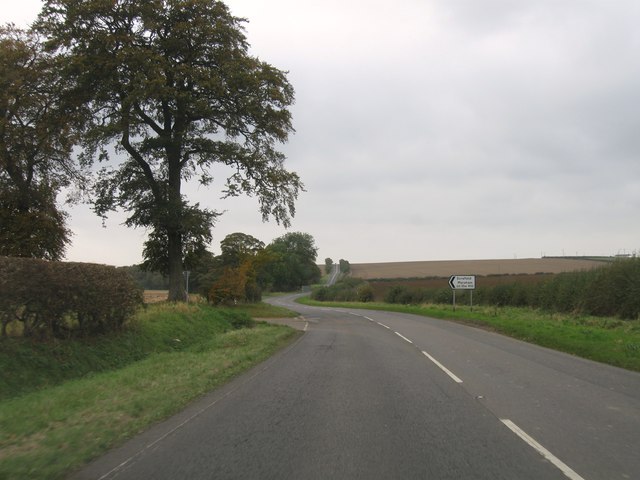
Visitors can explore the plantation through a network of well-maintained walking trails, allowing them to immerse themselves in the natural beauty of the surroundings. The trails offer breathtaking views of the Lincolnshire countryside, with some leading to vantage points where visitors can enjoy panoramic vistas of the rolling hills and meandering rivers.
Wetherton Hill Plantation also holds historical significance, as it was once part of an ancient estate that dates back several centuries. The remnants of old stone walls and ruins can still be found throughout the plantation, adding to its charm and providing a glimpse into the past.
Overall, Wetherton Hill Plantation is a captivating destination that offers a tranquil escape from the hustle and bustle of everyday life. Its natural beauty, diverse wildlife, and rich history make it a must-visit location for those seeking to reconnect with nature and explore the enchanting woodlands of Lincolnshire.
If you have any feedback on the listing, please let us know in the comments section below.
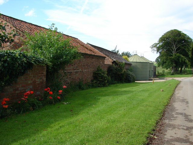
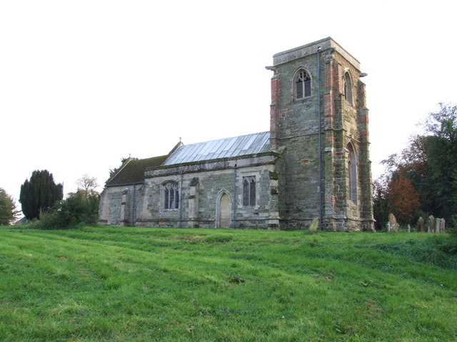
Wetherton Hill Plantation Images
Images are sourced within 2km of 53.220595/-0.035160594 or Grid Reference TF3171. Thanks to Geograph Open Source API. All images are credited.


Wetherton Hill Plantation is located at Grid Ref: TF3171 (Lat: 53.220595, Lng: -0.035160594)
Administrative County: Lincolnshire
District: East Lindsey
Police Authority: Lincolnshire
What 3 Words
///taps.nutty.sunblock. Near Horncastle, Lincolnshire
Nearby Locations
Related Wikis

Greetham, Lincolnshire
Greetham ( GREET-əm) is a village and former civil parish, now in the parish of Greetham with Somersby, in the East Lindsey district of Lincolnshire, England...

Greetham with Somersby
Greetham with Somersby is a civil parish in the East Lindsey district of Lincolnshire, England. It is situated approximately 3 miles (5 km) north-east...

Ashby Puerorum
Ashby Puerorum is a small village and former civil parish, now in the parish of Greetham with Somersby, in the East Lindsey district of Lincolnshire, England...

Battle of Winceby
The Battle of Winceby took place on 11 October 1643 during the First English Civil War near the village of Winceby, Lincolnshire. In the battle, a Royalist...
Scrafield
Scrafield is a hamlet and a deserted medieval village (DMV) in the civil parish of Mareham on the Hill, in the East Lindsey district, in the county of...

Fulletby
Fulletby is a village and a civil parish in the East Lindsey district of Lincolnshire, England. It is in the Lincolnshire Wolds, and 3 miles (5 km) north...

Salmonby
Salmonby is a village in the civil parish of Tetford, in the East Lindsey district of Lincolnshire, England. It is situated 5.5 miles (8.9 km) north-east...
Bag Enderby
Bag Enderby is a village and former civil parish, now in the parish of Greetham with Somersby, in the East Lindsey district of Lincolnshire, England. It...
Nearby Amenities
Located within 500m of 53.220595,-0.035160594Have you been to Wetherton Hill Plantation?
Leave your review of Wetherton Hill Plantation below (or comments, questions and feedback).