Cheshunt Common

Downs, Moorland in Hertfordshire Broxbourne

England

Cheshunt Common

East Ridgeway, Cuffley
East Ridgeway, Cuffley Credit: Richard Vince

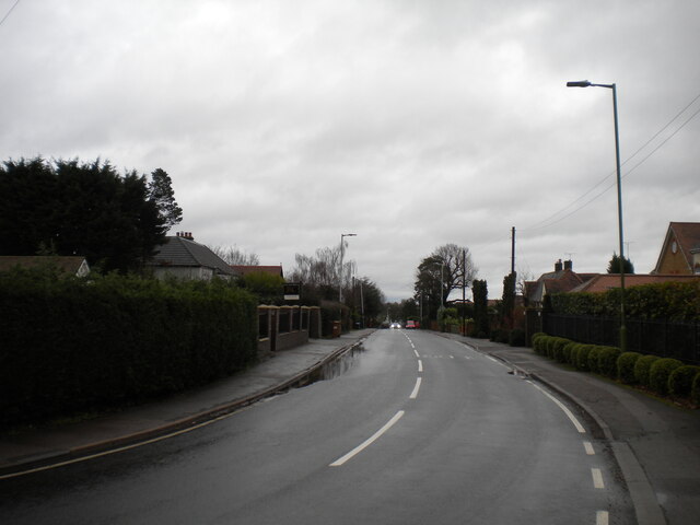
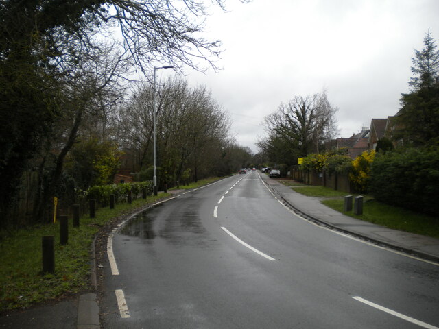
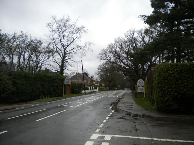
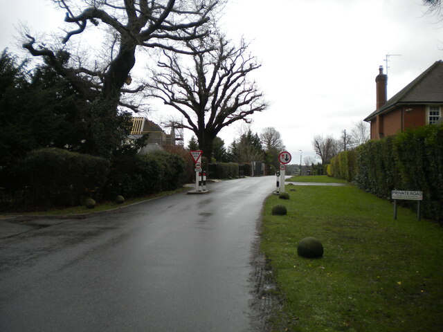
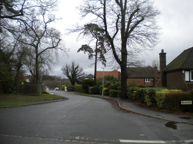
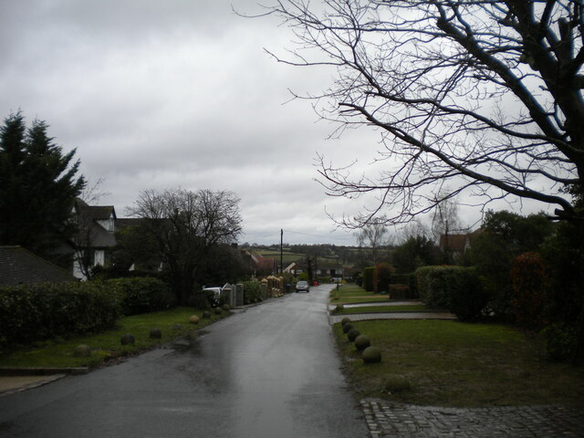
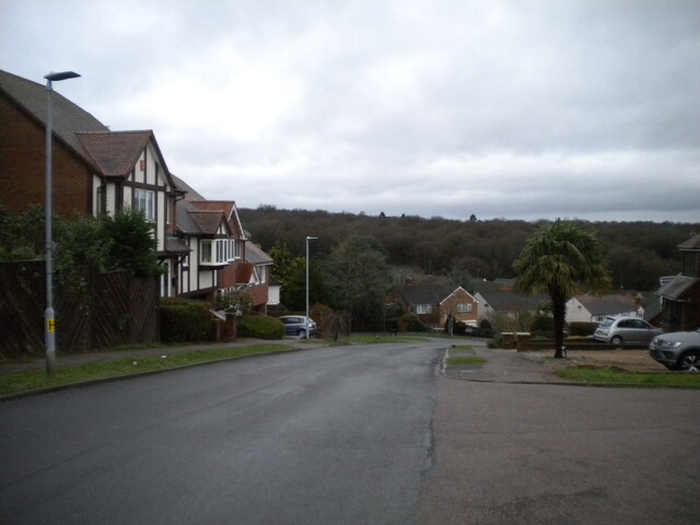
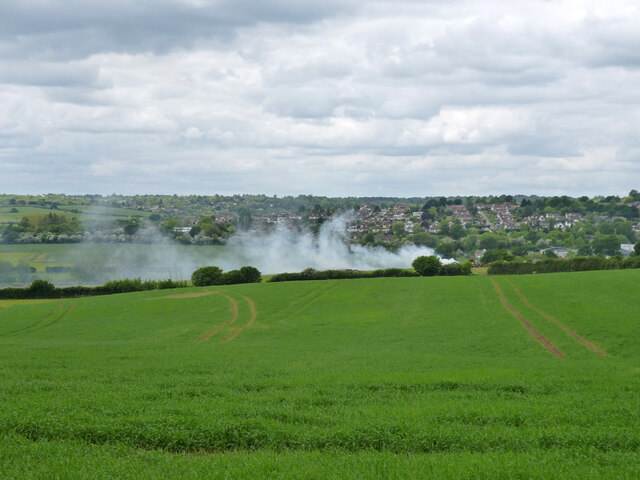
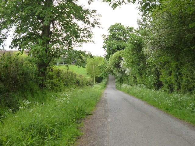
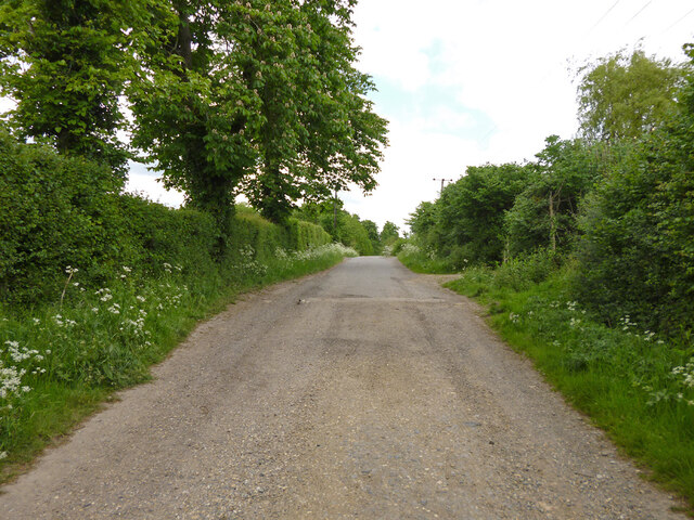
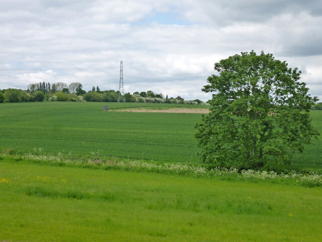
Cheshunt Common is a vast open space situated in the county of Hertfordshire, England. It spans an area of approximately 256 acres (104 hectares) and is located in the town of Cheshunt, just a few miles north of London. The Common is an area of diverse natural beauty, offering a unique mix of downs and moorland landscapes.

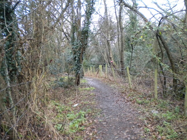
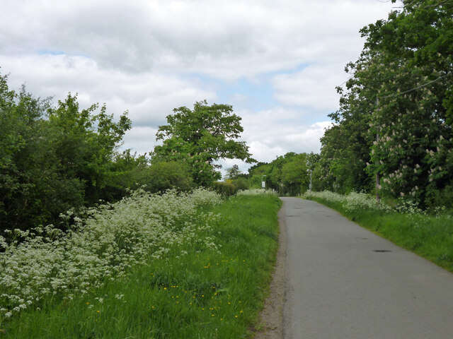
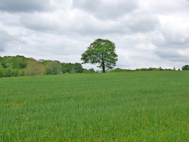
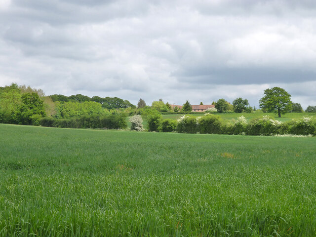
The Common is characterized by its gently undulating terrain, featuring stretches of rolling hills and extensive areas of lowland. The downs, or chalk grasslands, are a prominent feature of this area and are home to a variety of plant species, including wildflowers such as common knapweed, bird's-foot trefoil, and cowslips. These downs provide habitat for insects, butterflies, and small mammals.

In addition to the downs, Cheshunt Common also boasts areas of moorland, which are characterized by wet and boggy ground. These moorland areas are covered with heather and grasses, providing a habitat for various bird species, including skylarks and meadow pipits. The wetland areas attract an array of water-loving species, such as dragonflies and waterfowl.

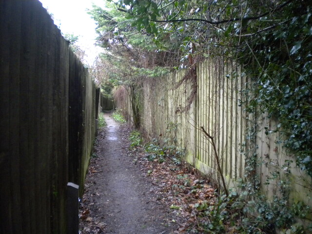
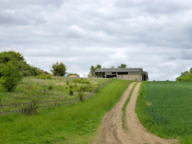
Cheshunt Common offers visitors the opportunity to explore its natural beauty through a network of footpaths and trails. The area is popular for walking, jogging, and horse riding, with designated routes available for these activities. The Common is also a site of historical interest, with remnants of World War II structures still visible in certain parts.

Overall, Cheshunt Common presents a unique blend of downs and moorland landscapes, making it a haven for nature lovers and a valuable resource for the local community.

If you have any feedback on the listing, please let us know in the comments section below.

Cheshunt Common Images

Images are sourced within 2km of 51.715524/-0.10009009 or Grid Reference TL3103. Thanks to Geograph Open Source API. All images are credited.

East Ridgeway, Cuffley
The Ridgeway, Cuffley (1)
Public footpath off The Ridgeway, Cuffley Part of the Hertfordshire Way.
Public footpath off The Ridgeway, Cuffley
Part of the Hertfordshire Way.
The Ridgeway, Cuffley (2) At its junction with Hanyards Lane.
The Ridgeway, Cuffley (2)
At its junction with Hanyards Lane.
Haynards Lane, Cuffley (1) Seen from near its junction with The Ridgeway.
Haynards Lane, Cuffley (1)
Seen from near its junction with The Ridgeway.
Bradgate, Cuffley Off Hanyards Lane.
Bradgate, Cuffley
Off Hanyards Lane.
Footpath off Haynards Lane, Cuffley Leading to Sutherland Avenue.
Footpath off Haynards Lane, Cuffley
Leading to Sutherland Avenue.
Haynards Lane, Cuffley (2) Seen from its junction with Bradgate.
Haynards Lane, Cuffley (2)
Seen from its junction with Bradgate.
Hill Rise, Cuffley Seen from its junction with Wood View.
Hill Rise, Cuffley
Seen from its junction with Wood View.
Christmas scene in Cuffley
Jones Road This appears to be mapped as a public road up to a point some way behind the camera, when it becomes a public bridleway and private untarred road. However, it is gated at the end of this straight, the gates being open in this view. It is used as part of the 'Chain Walk' - a long distance walking route.
The road was mapped with the odd name of St. Jones's Road up to the 1930s.
Jones Road
This appears to be mapped as a public road up to a point some way behind the camera, when it becomes a public bridleway and private untarred road. However, it is gated at the end of this straight, the gates being open in this view. It is used as part of the 'Chain Walk' - a long distance walking route. The road was mapped with the odd name of St. Jones's Road up to the 1930s.
Fire down below But it appears to be agricultural and monitored, so everything is all right, isn't it?
Fire down below
But it appears to be agricultural and monitored, so everything is all right, isn't it?
Burnt Farm Ride A private tarmac road as far as Burnt Farm, thereafter a well surfaced track. Public bridleway Cheshunt 17.
Burnt Farm Ride
A private tarmac road as far as Burnt Farm, thereafter a well surfaced track. Public bridleway Cheshunt 17.
Burnt Farm Ride The surface changes here, tarmac northwards, just 'mac' to the south.  Public bridleway Cheshunt 17.
Burnt Farm Ride
The surface changes here, tarmac northwards, just 'mac' to the south. Public bridleway Cheshunt 17.
Tree in field west of Burnt Farm
View over fields towards Burnt Farm
Farmland north of Northaw Brook
Barns at Burnt Farm
Barns at Burnt Farm
Show me another place!

Cheshunt Common is located at Grid Ref: TL3103 (Lat: 51.715524, Lng: -0.10009009)

Administrative County: Hertfordshire

District: Broxbourne

Police Authority: Hertfordshire

What 3 Words

///estate.bunk.miss. Near Cuffley, Hertfordshire

Nearby Locations

Cheshunt Common

Related Wikis

Cuffley railway station

Cuffley railway station serves the village of Cuffley in the Welwyn Hatfield district of Hertfordshire. It also serves other nearby settlements, namely...

Cuffley

Cuffley is a village in the civil parish of Northaw and Cuffley, in the Welwyn Hatfield district of south-east Hertfordshire located between Cheshunt and...

Goffs Oak

Goffs Oak (Goff's Oak on Ordnance Survey maps) is a large village in the borough of Broxbourne in Hertfordshire in the United Kingdom. It lies between...

Tolmers Park

Tolmers Park is a manor house in Newgate Street Village near Hatfield in Hertfordshire, England. == Early history == The early history of the manor is...

Newgate Street, Hertfordshire

Newgate Street is a village near Cuffley, in Hatfield civil parish, in the Welwyn Hatfield district of Hertfordshire, England. It is approximately six...

Northaw and Cuffley

Northaw and Cuffley is a civil parish in the Welwyn Hatfield borough of Hertfordshire, England. Located approximately 13.5 miles (21.7 km) north of central...

Broxbourne (UK Parliament constituency)

Broxbourne is a constituency in Hertfordshire represented in the House of Commons of the UK Parliament since 2005 by Charles Walker of the Conservative...

F.C. Broxbourne Borough

Football Club Broxbourne Borough was a football club based in Broxbourne, Hertfordshire, England. They played at Goffs Lane in Cheshunt. == History... ==

Nearby Amenities

Located within 500m of 51.715524,-0.10009009
Created By: YahooApplet 1.0
Lat/Long: 51.7125389/-0.0948933
Created By: YahooApplet 1.0
Lat/Long: 51.7136356/-0.0952228
Created By: YahooApplet 1.0
Lat/Long: 51.7139413/-0.0943431
Created By: YahooApplet 1.0
Lat/Long: 51.7142737/-0.0943645
Created By: YahooApplet 1.0
Lat/Long: 51.7147922/-0.0951584
Created By: YahooApplet 1.0
Lat/Long: 51.7146194/-0.0957593
Created By: YahooApplet 1.0
Lat/Long: 51.7152708/-0.0965317
Created By: YahooApplet 1.0
Lat/Long: 51.7158159/-0.0971111
Created By: YahooApplet 1.0
Lat/Long: 51.7163344/-0.0959309
Created By: YahooApplet 1.0
Lat/Long: 51.7168811/-0.0946031
Created By: YahooApplet 1.0
Lat/Long: 51.716469/-0.094182
Turning Circle
Lat/Long: 51.7157107/-0.096191
Power: tower
Lat/Long: 51.7132201/-0.0997624
Power: tower
Lat/Long: 51.7164852/-0.0976166
Chiltern Close
Naptan AtcoCode: 210021702993
Naptan Bearing: SE
Naptan BusStopType: CUS
Naptan CommonName: Chiltern Close
Naptan Indicator: opp
Naptan Landmark: Unknown
Naptan NaptanCode: hrtajwpd
Naptan PlusbusZoneRef: CHESHNT
Naptan ShortCommonName: NA
Naptan Street: Newgate Street Road
Naptan Verified: no
Source: naptan_import
Lat/Long: 51.7164456/-0.0940809
Chiltern Close
Local Ref: NR
Naptan AtcoCode: 210021702997
Naptan Bearing: NW
Naptan BusStopType: CUS
Naptan CommonName: Chiltern Close
Naptan Indicator: nr
Naptan Landmark: Unknown
Naptan NaptanCode: hrtajwpj
Naptan ShortCommonName: NA
Naptan Street: Newgate Street Road
Naptan Verified: no
Source: naptan_import
Lat/Long: 51.7167229/-0.094547
The data included in this document is from www.openstreetmap.org. The data is made available under ODbL.

Have you been to Cheshunt Common?

Leave your review of Cheshunt Common below (or comments, questions and feedback).