Ramsey Fen

Downs, Moorland in Huntingdonshire Huntingdonshire

England

Ramsey Fen

Dike and farmland near Hughe's Farm Typical farmland to the south of Whittlesey
Dike and farmland near Hughe's Farm Credit: Richard Humphrey

The requested URL returned error: 429 Too Many Requests

If you have any feedback on the listing, please let us know in the comments section below.
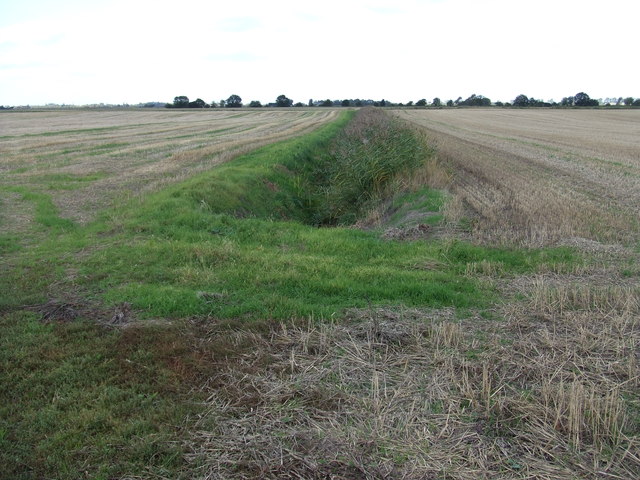
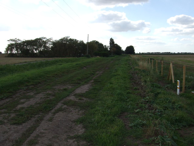
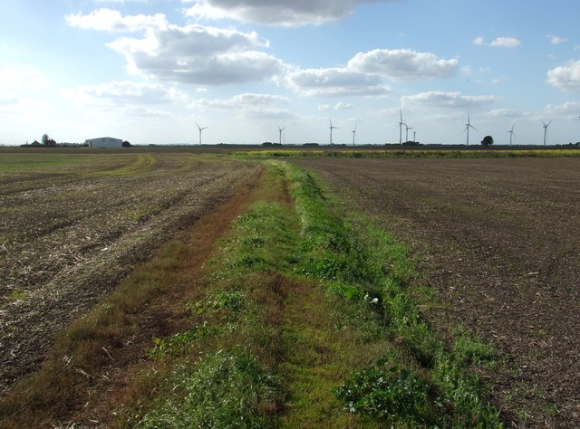
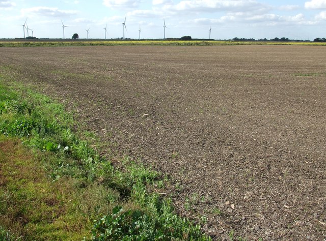
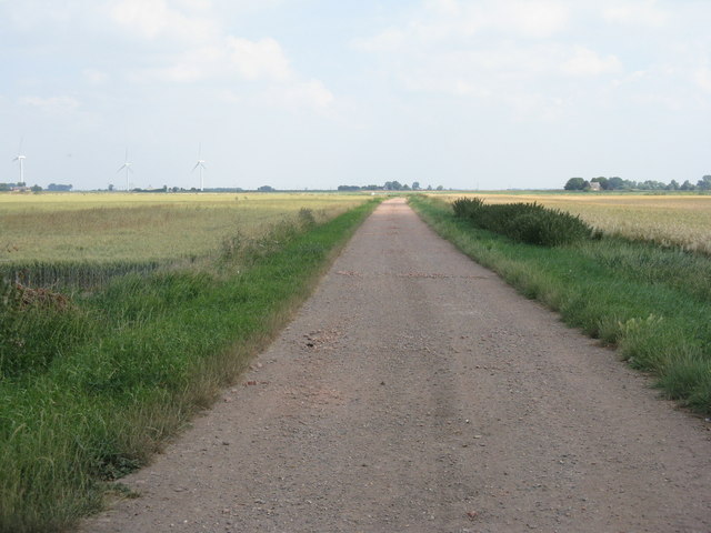
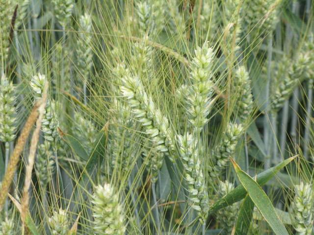
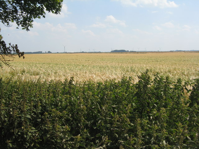
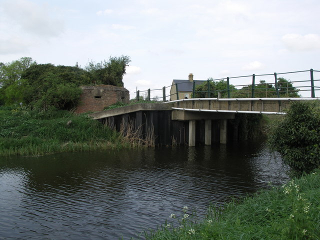
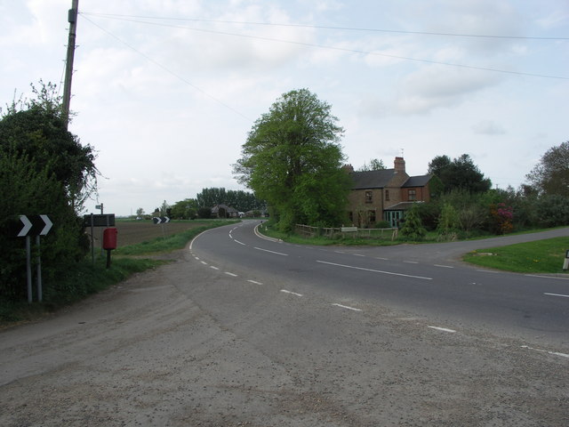
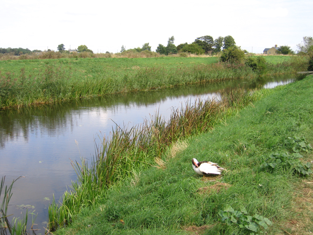
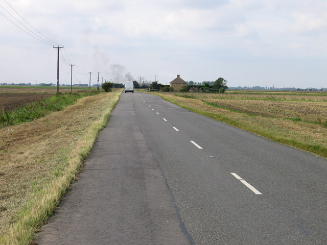
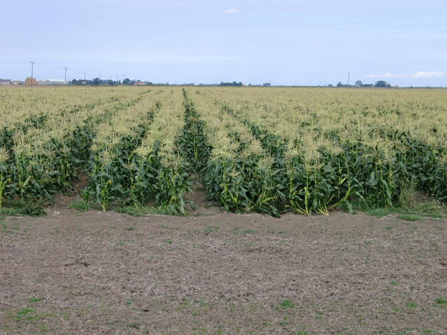
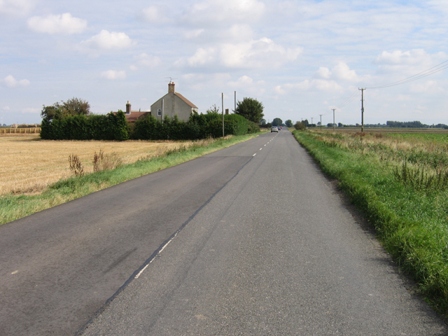
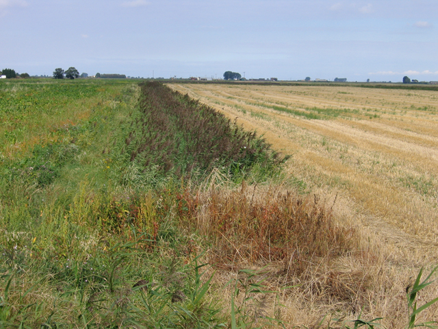
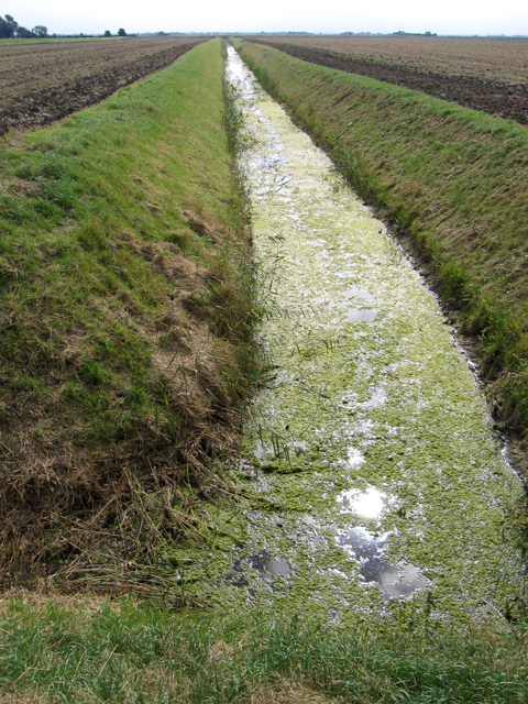
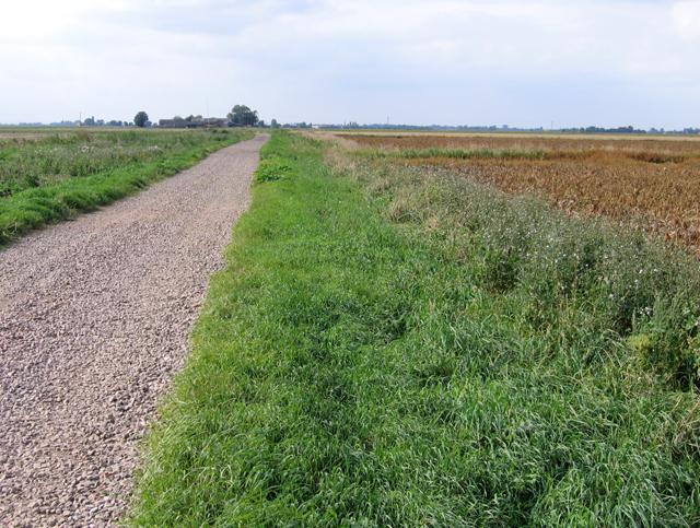
Ramsey Fen Images

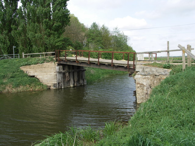
Images are sourced within 2km of 52.508033/-0.065961732 or Grid Reference TL3191. Thanks to Geograph Open Source API. All images are credited.

Dike and farmland near Hughe's Farm Typical farmland to the south of Whittlesey
Dike and farmland near Hughe's Farm
Typical farmland to the south of Whittlesey
Slatebarn Drove near Ashboure's Farm A grass drove south of Whittlesey
Slatebarn Drove near Ashboure's Farm
A grass drove south of Whittlesey
Farmland west of Marriot's Drove Remote farmland on Ramsey Fen south of Whittlesey
Farmland west of Marriot's Drove
Remote farmland on Ramsey Fen south of Whittlesey
Drilled farmland west of Marriot's Drove Remote farmland on Ramsey Fen south of Whittlesey
Drilled farmland west of Marriot's Drove
Remote farmland on Ramsey Fen south of Whittlesey
Farm track at Grange Farm Heading northeast, between cereal fields, from Grange Farm.
Farm track at Grange Farm
Heading northeast, between cereal fields, from Grange Farm.
Back Reach Farm, near Benwick Looking across a field of awned [bearded] wheat <a href="https://www.geograph.org.uk/photo/5839596">TL3292 : Bearded wheat at Grange Farm</a> at Grange Farm.
Back Reach Farm, near Benwick
Looking across a field of awned [bearded] wheat TL3292 : Bearded wheat at Grange Farm at Grange Farm.
Bearded wheat at Grange Farm Near Benwick. Most traditional wheat cultivars do not have awns or whiskers, unlike barley and rye, but some do.
Bearded wheat at Grange Farm
Near Benwick. Most traditional wheat cultivars do not have awns or whiskers, unlike barley and rye, but some do.
Winter barley at Grange Farm, Benwick A high-yielding six-rowed barley cultivar, Bazooka. The wind turbines just visible in the distance are on Ranson Moor <a href="https://www.geograph.org.uk/gridref/TL3792">TL3792</a>.
Winter barley at Grange Farm, Benwick
A high-yielding six-rowed barley cultivar, Bazooka. The wind turbines just visible in the distance are on Ranson Moor TL3792.
Potter's fire pit at Grange Farm, Benwick At a Peterborough Artists' Open Studios day; one of the participating venues was Grange Farm. This is the way that Bronze age people would have fired their pottery - dig a pit about 0.6-0.8m deep, put wood shavings in the bottom, then the pots. Cover and fill with more wood and kindling, light the kindling and once it is well alight cover with a lid [corrugated iron was used here - not sure what the Bronze agers would have used - perhaps clay?]. Leave for about 24 hours, uncover and remove the fired pots.
Potter's fire pit at Grange Farm, Benwick
At a Peterborough Artists' Open Studios day; one of the participating venues was Grange Farm. This is the way that Bronze age people would have fired their pottery - dig a pit about 0.6-0.8m deep, put wood shavings in the bottom, then the pots. Cover and fill with more wood and kindling, light the kindling and once it is well alight cover with a lid [corrugated iron was used here - not sure what the Bronze agers would have used - perhaps clay?]. Leave for about 24 hours, uncover and remove the fired pots.
Guardian of the Bridge.
The Junction of Chase Road and Whittlesey Road.
Duck and drain, old course of the River Nene The river here near Four Hundred Farm forms the old county boundary between Huntingdonshire and Cambridgeshire.
Duck and drain, old course of the River Nene
The river here near Four Hundred Farm forms the old county boundary between Huntingdonshire and Cambridgeshire.
B1093 Benwick Road, Whittlesey, Cambs
Maize crop beside the B1093 Benwick Road, Whittlesey This neat crop may be a trial site.
Maize crop beside the B1093 Benwick Road, Whittlesey
This neat crop may be a trial site.
Searle's Farm, Benwick Road, Whittlesey, Cambs beside the B1093.
Searle's Farm, Benwick Road, Whittlesey, Cambs
beside the B1093.
Fenland landscape from Benwick Road, Whittlesey, Cambs Wheat stubble and sugar beet crops are bisected by a reed-choked drain.
Fenland landscape from Benwick Road, Whittlesey, Cambs
Wheat stubble and sugar beet crops are bisected by a reed-choked drain.
Drain southwest of Jones's Drove, Whittlesey, Cambs
Back Reach Drove, Whittlesey, Cambs Drove road with a stoned surface here in its eastern part.
Back Reach Drove, Whittlesey, Cambs
Drove road with a stoned surface here in its eastern part.
Show me another place!

Ramsey Fen is located at Grid Ref: TL3191 (Lat: 52.508033, Lng: -0.065961732)

Administrative County: Cambridgeshire

District: Huntingdonshire

Police Authority: Cambridgeshire

What 3 Words

///bordering.hiring.congratulations. Near Whittlesey, Cambridgeshire

Nearby Locations

Ramsey Fen

Related Wikis

Benwick

Benwick is a village and civil parish in the Fenland district of Cambridgeshire, England. It is approximately 15 miles (24 km) from Peterborough and 30...

Ramsey Mereside

Ramsey Mereside, known colloquially as "The Village", is a small village approximately 3.5 miles (5.6 km) north of the town of Ramsey, Cambridgeshire...

Ramsey Forty Foot

Ramsey Forty Foot is a village in Ramsey civil parish, part of the Huntingdonshire district of Cambridgeshire, England. It lies on the Forty Foot Drain...

Flood's Ferry

Flood's Ferry and Knight's End are hamlets between Benwick and March, Cambridgeshire, England. Flood's Ferry is the site of a large marina on the old course...

Have you been to Ramsey Fen?

Leave your review of Ramsey Fen below (or comments, questions and feedback).