Hertingfordbury Park
Downs, Moorland in Hertfordshire East Hertfordshire
England
Hertingfordbury Park

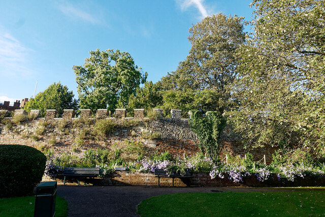
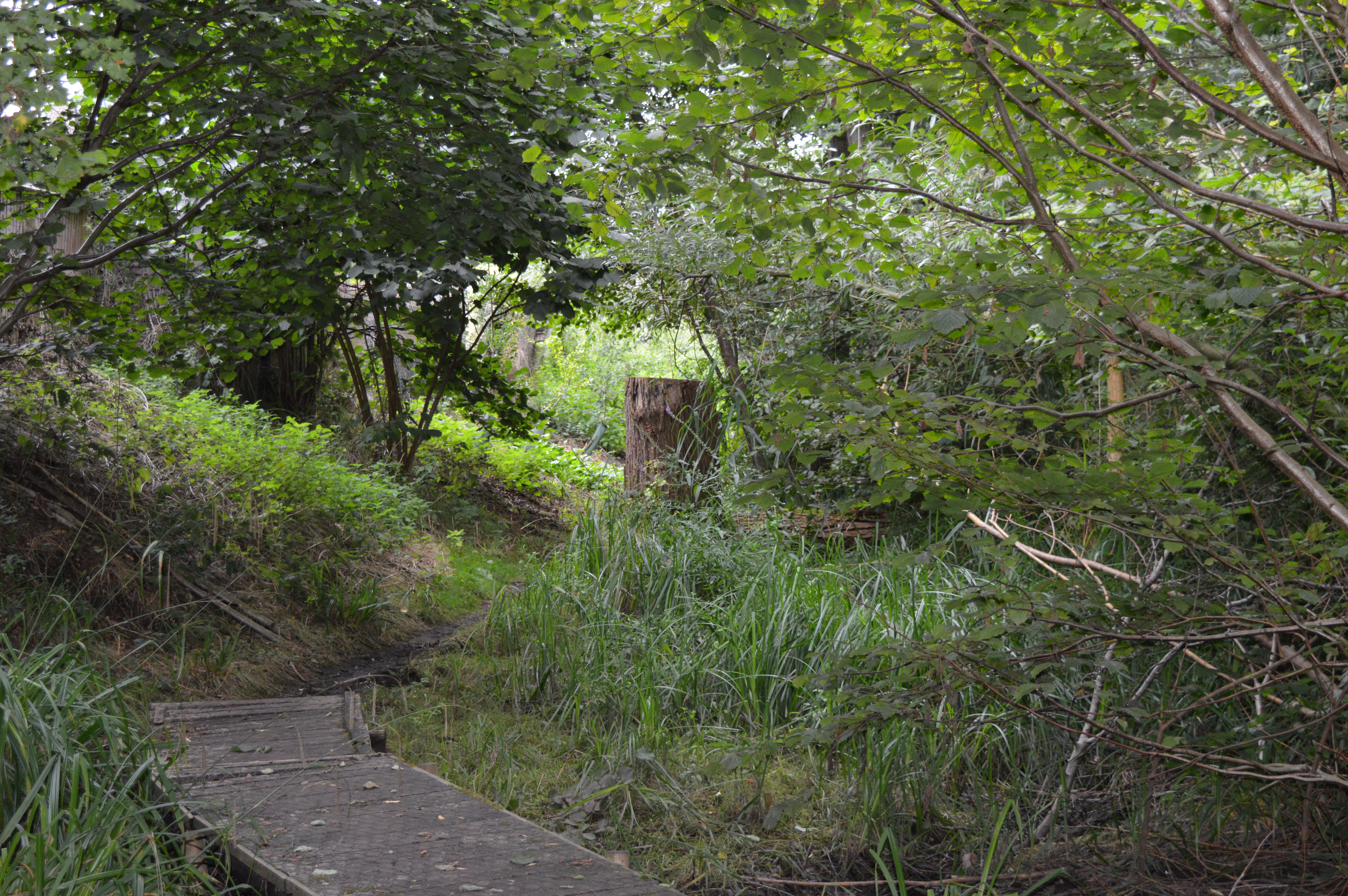
Hertingfordbury Park is a beautiful green space located in Hertfordshire, England. Situated in the village of Hertingfordbury, this park is known for its stunning downs and moorland landscapes. Spanning an area of approximately 200 acres, it offers visitors a tranquil and picturesque setting to enjoy nature and outdoor activities.
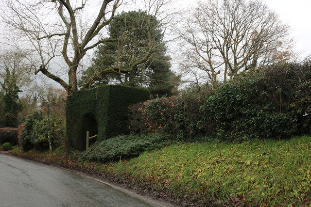
The park boasts rolling hills and vast open spaces, perfect for leisurely walks, picnics, and family outings. The downs of Hertingfordbury Park provide breathtaking panoramic views of the surrounding countryside, making it a popular spot for nature enthusiasts and photographers. The moorland section of the park is characterized by its heather-covered terrain and is home to a diverse range of wildlife, including birds, butterflies, and small mammals.
For those seeking more adventurous activities, Hertingfordbury Park offers opportunities for hiking, cycling, and horseback riding. There are well-maintained trails that wind through the park, allowing visitors to explore its various habitats and discover its natural beauty.
The park also features amenities such as parking facilities, picnic areas, and benches for visitors to relax and take in the peaceful surroundings. Additionally, there are information boards throughout the park, providing educational insights into the local flora and fauna.
Hertingfordbury Park is a cherished natural gem in Hertfordshire, attracting visitors from near and far with its stunning downs and moorland landscapes, diverse wildlife, and opportunities for outdoor activities. Whether one is looking for a peaceful retreat or an active adventure, this park offers something for everyone to enjoy.
If you have any feedback on the listing, please let us know in the comments section below.
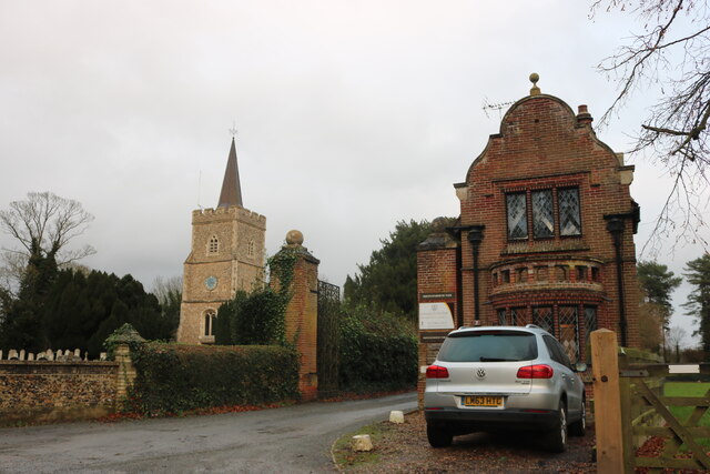
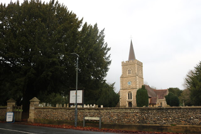
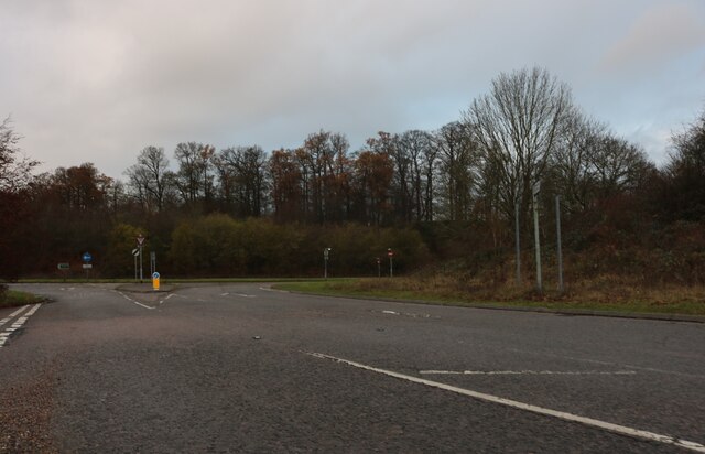
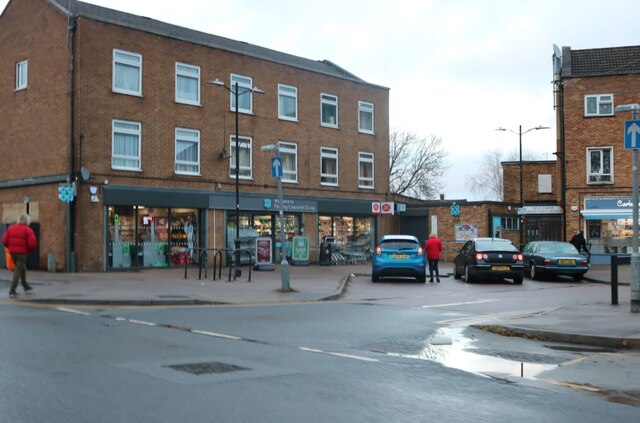
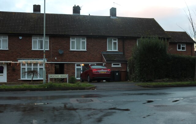
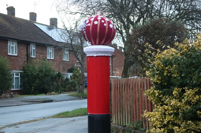
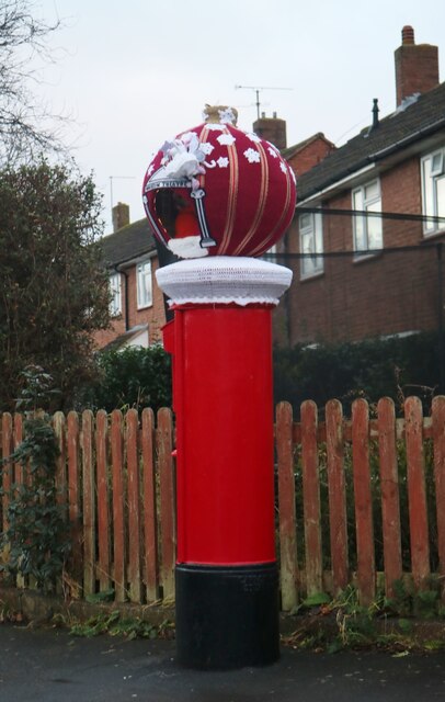
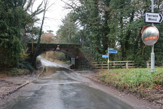
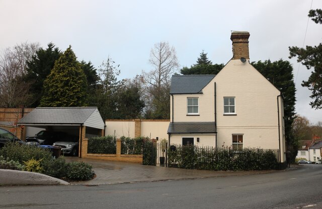
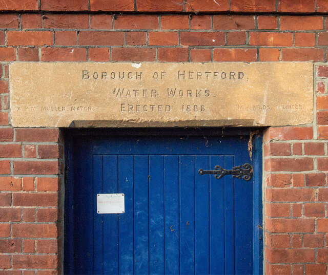
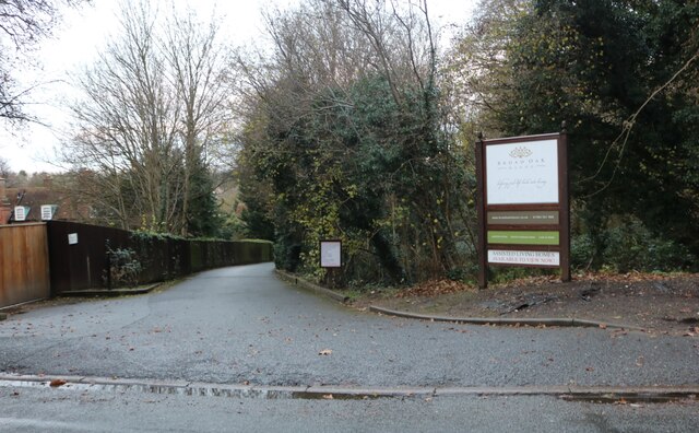
Hertingfordbury Park Images
Images are sourced within 2km of 51.790543/-0.095474498 or Grid Reference TL3111. Thanks to Geograph Open Source API. All images are credited.

Hertingfordbury Park is located at Grid Ref: TL3111 (Lat: 51.790543, Lng: -0.095474498)
Administrative County: Hertfordshire
District: East Hertfordshire
Police Authority: Hertfordshire
What 3 Words
///cook.battle.kinds. Near Hertford, Hertfordshire
Nearby Locations
Related Wikis
Willowmead
Willowmead is a 1.5-hectare (3.7-acre) nature reserve in north Hertford. It is managed by the Herts and Middlesex Wildlife Trust.The site is on the bank...
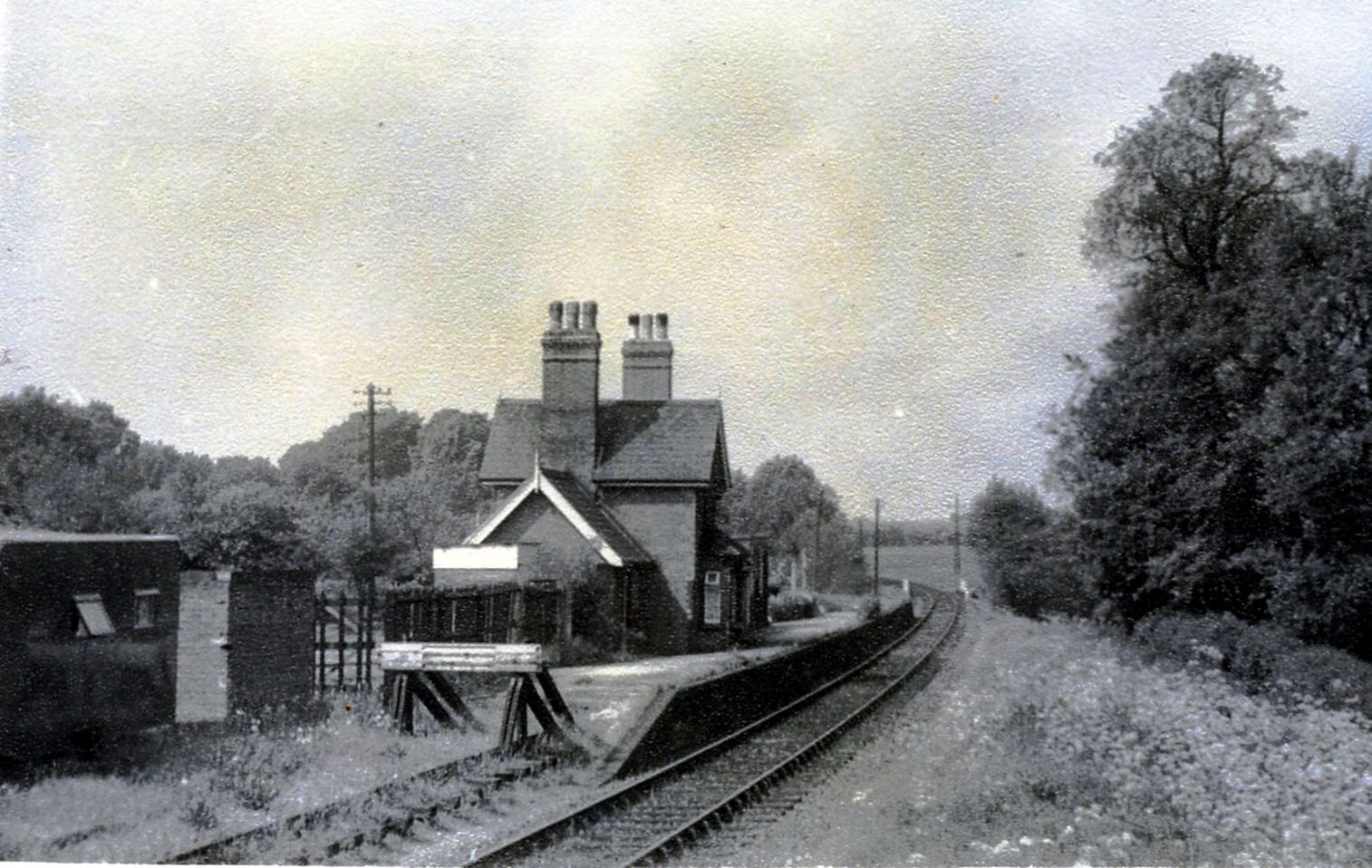
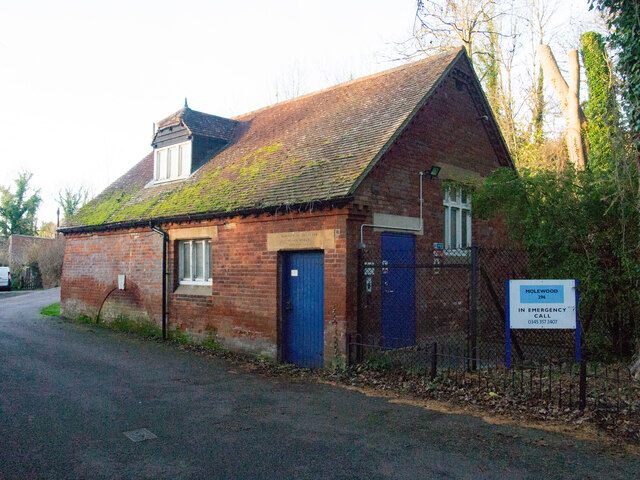
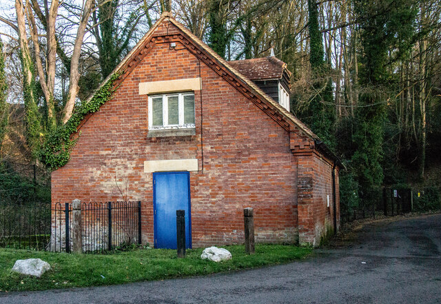
Hertingfordbury railway station
Hertingfordbury railway station was a station at Hertingfordbury, Hertfordshire, England, on the Hertford and Welwyn Junction Railway. It was a passenger...

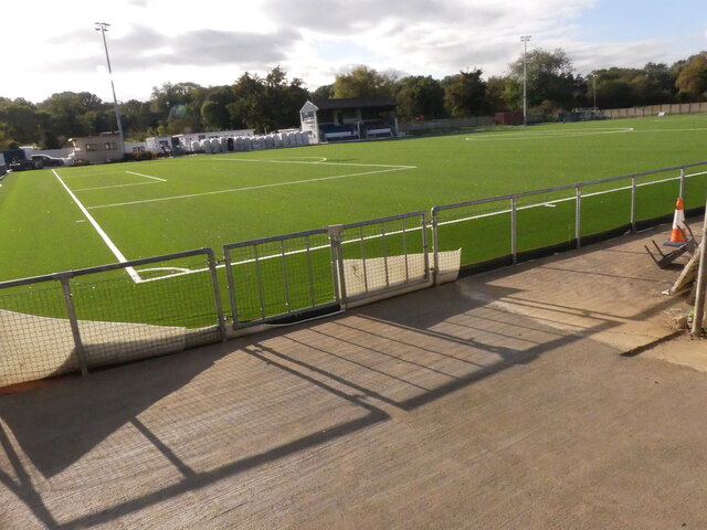
Hertford Town F.C.
Hertford Town Football Club is a football club based in Hertford, Hertfordshire, England. They are currently members of the Southern League Division One...
St. Panteleimon F.C.
St. Panteleimon Football Club is a football club based in Greenford, Greater London, England. They are currently members of the Spartan South Midlands...

River Mimram
The River Mimram is a chalk stream in Hertfordshire, England. == Geography == The river valley known locally as the Mimram Valley is named after the River...
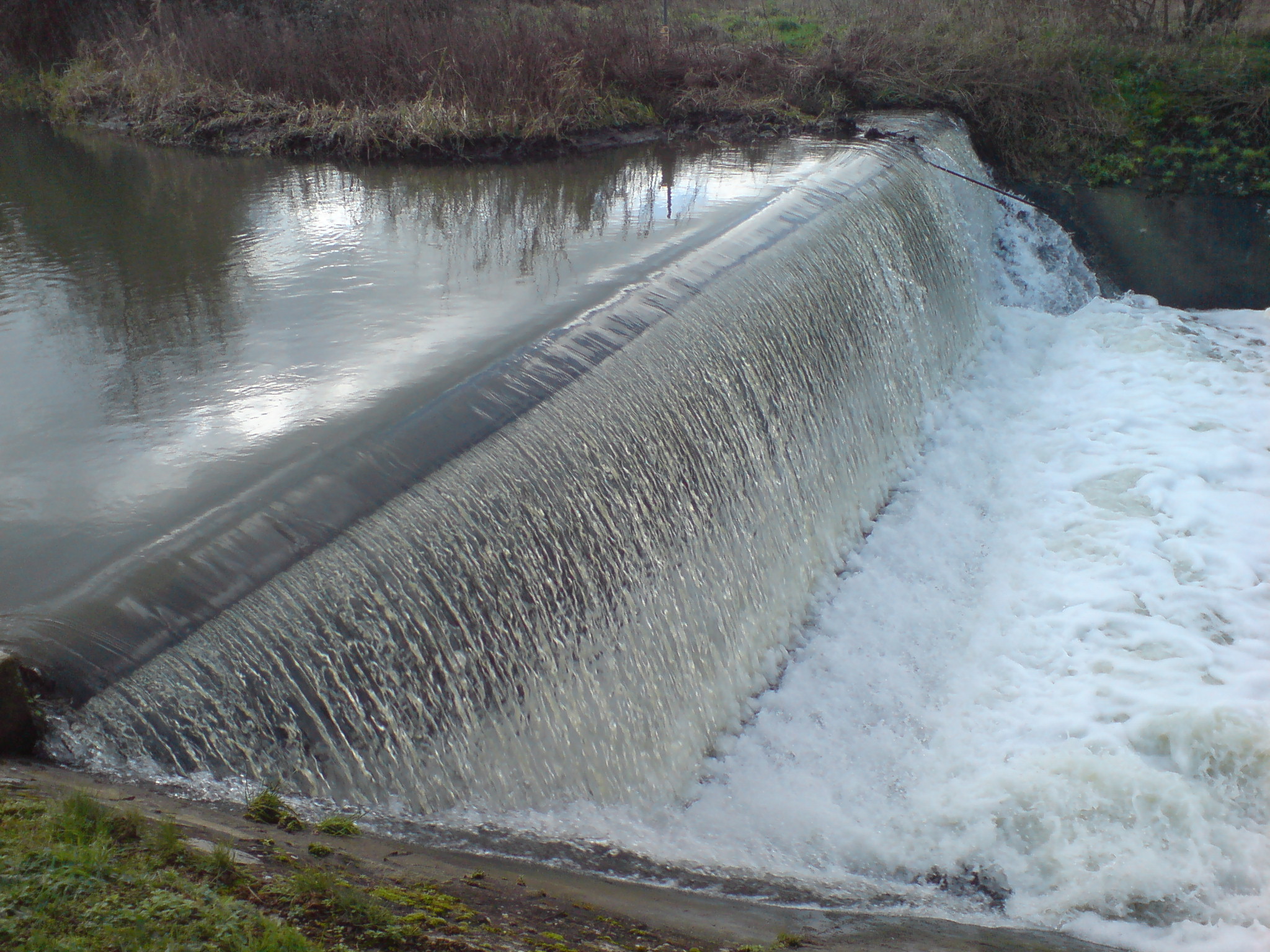
Horns Mill Weir
Horns Mill Weir is a weir on the River Lea, next to Horns Mill, Hertford.

Hertingfordbury
Hertingfordbury is a small village in Hertfordshire, England, close to the county town of Hertford. It was mentioned in the Domesday Book of 1086. Hertingfordbury...
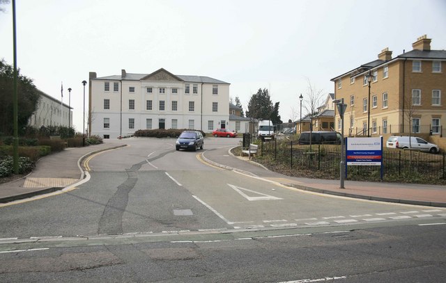
Hertford County Hospital
Hertford County Hospital is situated in the town of Hertford, county town of Hertfordshire, England. It is managed by the East and North Hertfordshire...
Nearby Amenities
Located within 500m of 51.790543,-0.095474498Have you been to Hertingfordbury Park?
Leave your review of Hertingfordbury Park below (or comments, questions and feedback).