Bacon's Green
Downs, Moorland in Hertfordshire East Hertfordshire
England
Bacon's Green
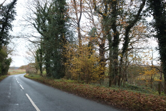
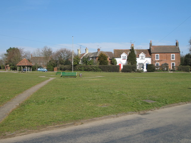
Bacon's Green is a picturesque area located in Hertfordshire, England. Nestled amidst rolling hills and verdant countryside, it is a haven for nature lovers and outdoor enthusiasts. The area is primarily characterized by its downs and moorland, offering a diverse and captivating landscape.
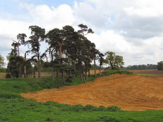
The downs in Bacon's Green are vast expanses of open grassland, providing breathtaking panoramic views of the surrounding countryside. These grassy slopes are ideal for leisurely walks, picnics, and even kite flying. The downs are also home to a variety of plant and animal species, making it a great spot for wildlife enthusiasts and birdwatchers.
Adjacent to the downs, the moorland in Bacon's Green adds another layer of beauty and intrigue to the area. Moorland is characterized by its heather-covered terrain, interspersed with patches of bog and shrubs. The moorland is often dotted with grazing sheep, enhancing its rustic charm.
Beyond its natural attractions, Bacon's Green also boasts a rich history. The area is known for its ancient burial mounds, which are remnants of its prehistoric past. These burial mounds add an air of mystery and intrigue to the landscape, serving as a reminder of the area's long and fascinating history.
Overall, Bacon's Green in Hertfordshire offers a harmonious blend of natural beauty and historical significance. Whether one seeks tranquility in the downs, adventure in the moorland, or a glimpse into the past through its ancient burial mounds, Bacon's Green is a destination that captures the hearts of all who visit.
If you have any feedback on the listing, please let us know in the comments section below.
Bacon's Green Images
Images are sourced within 2km of 51.813722/-0.13794827 or Grid Reference TL2814. Thanks to Geograph Open Source API. All images are credited.


Bacon's Green is located at Grid Ref: TL2814 (Lat: 51.813722, Lng: -0.13794827)
Administrative County: Hertfordshire
District: East Hertfordshire
Police Authority: Hertfordshire
What 3 Words
///crops.hills.spaces. Near Hertford, Hertfordshire
Nearby Locations
Related Wikis
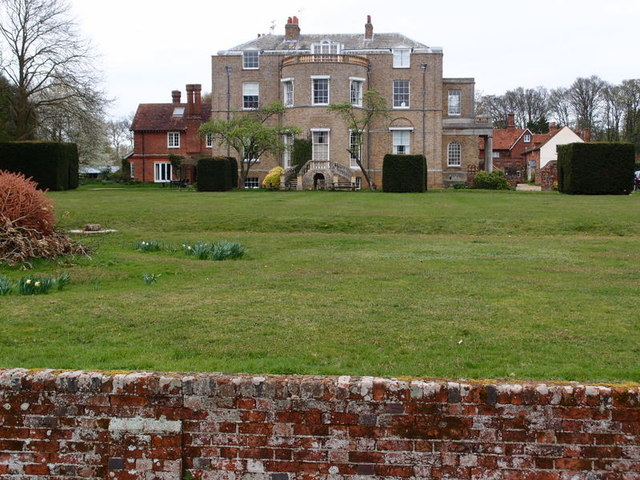
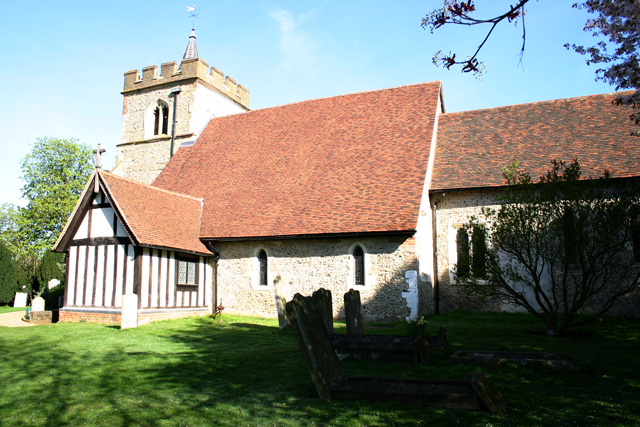
Marden Hill
Marden Hill is a Grade II* listed country house close to the village of Tewin, Hertfordshire.The house, originally Jacobean but substantially rebuilt in...

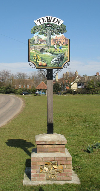
Tewin
Tewin is an English village and civil parish in Hertfordshire, England between the towns of Welwyn Garden City, Stevenage, Welwyn (village) and the county...

Panshanger
Panshanger was a large country house located between the outer edge of Hertford and Welwyn Garden City in Hertfordshire, England. == History == Earl Cowper...

Bramfield, Hertfordshire
Bramfield is a village and civil parish in the East Hertfordshire district, in the county of Hertfordshire, England. Nearby settlements include Hertford...

Pishiobury
Pishiobury, sometimes spelled Pishobury, was a manor and estate in medieval Sawbridgeworth, Hertfordshire. Its denomination as "Pishiobury" only emerged...

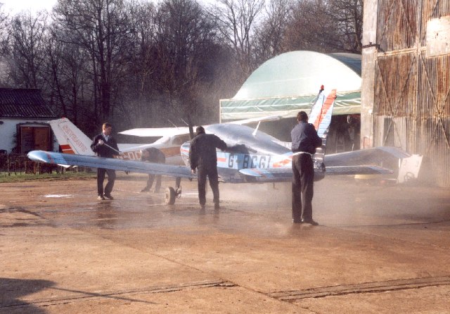
Panshanger Aerodrome
Panshanger Aerodrome (ICAO: EGLG) was a former general aviation aerodrome located on the most eastern tip of Welwyn Garden City, Hertfordshire, England...

Tewin Orchard and Hopkyns Wood
Tewin Orchard and Hopkyns Wood is a 4.3-hectare (11-acre) nature reserve in Tewin in Hertfordshire. It is managed by the Herts and Middlesex Wildlife Trust...

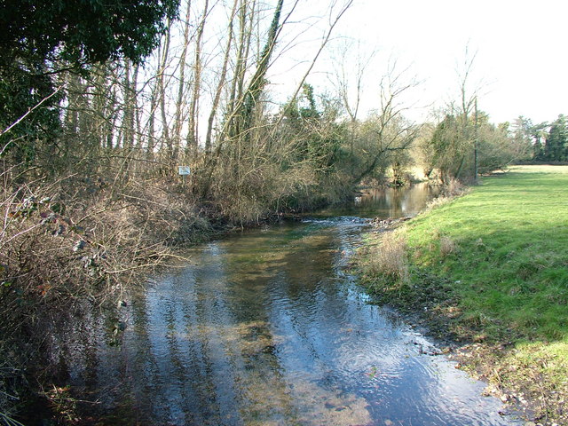
Tewinbury
Tewinbury is a 7.5-hectare (19-acre) biological Site of Special Scientific Interest near Tewin in Hertfordshire. The local planning authority is East Hertfordshire...
Nearby Amenities
Located within 500m of 51.813722,-0.13794827Have you been to Bacon's Green?
Leave your review of Bacon's Green below (or comments, questions and feedback).