Red Wood
Wood, Forest in Hertfordshire East Hertfordshire
England
Red Wood

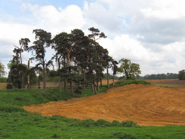
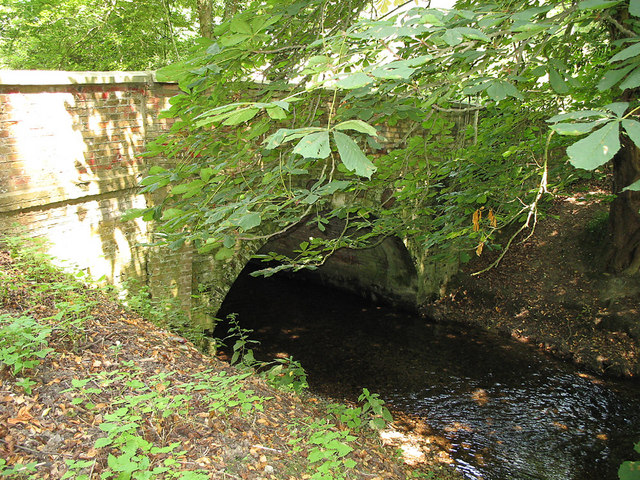
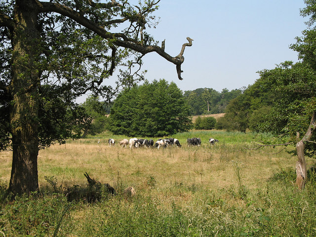
Red Wood is a picturesque forest located in Hertfordshire, England. Spanning over an area of approximately 100 acres, it is known for its stunning natural beauty and abundant wildlife. The forest is characterized by its dense canopy of towering redwood trees, which give it its name and create a serene and peaceful atmosphere.
The Red Wood is a popular destination for nature enthusiasts and hikers, offering a network of well-maintained trails that wind through the forest. These trails provide visitors with the opportunity to explore the diverse flora and fauna that call the forest home. From vibrant wildflowers and ferns to various species of birds and small mammals, there is always something to discover and admire.
In addition to its natural beauty, Red Wood offers various recreational activities for visitors to enjoy. The forest features several designated picnic areas, providing the perfect spot for families and friends to gather and enjoy a meal amidst the tranquil surroundings. Additionally, the forest has a number of camping sites, allowing visitors to immerse themselves in nature and spend a night under the stars.
Red Wood is easily accessible, with ample parking available for visitors. It is also conveniently located near the town of Hertfordshire, making it a popular day trip destination for both locals and tourists alike. Whether it's a leisurely stroll through the forest, a picnic with loved ones, or a camping adventure, Red Wood offers a captivating experience for all who visit.
If you have any feedback on the listing, please let us know in the comments section below.
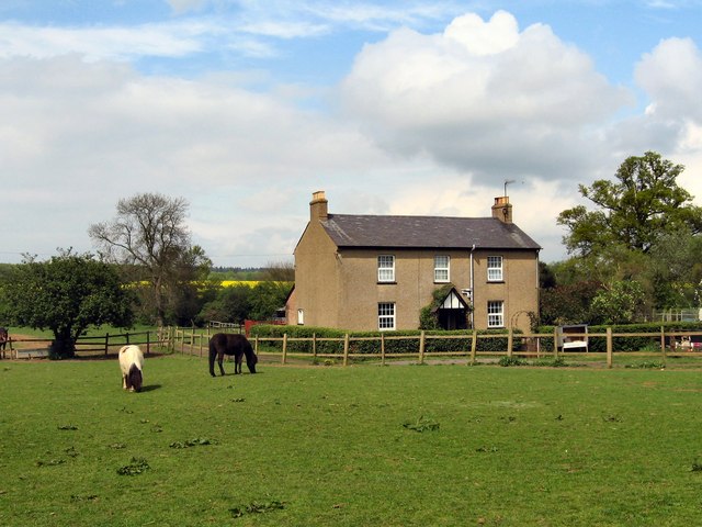
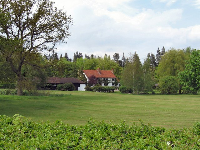
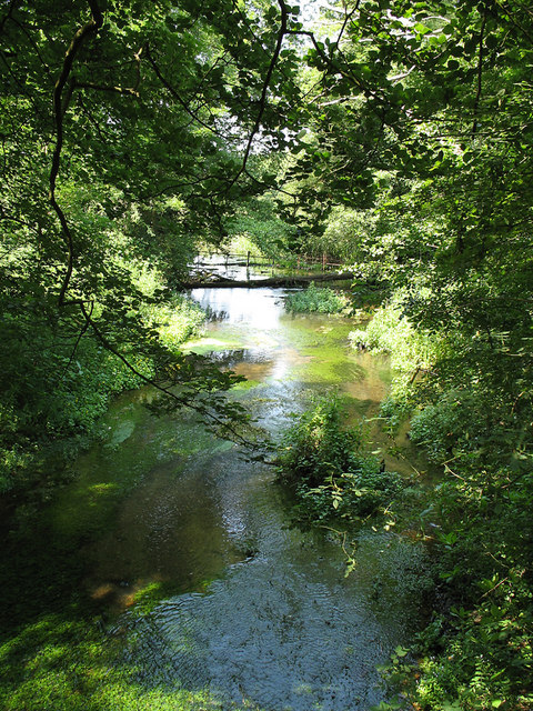
Red Wood Images
Images are sourced within 2km of 51.811348/-0.14081693 or Grid Reference TL2814. Thanks to Geograph Open Source API. All images are credited.


Red Wood is located at Grid Ref: TL2814 (Lat: 51.811348, Lng: -0.14081693)
Administrative County: Hertfordshire
District: East Hertfordshire
Police Authority: Hertfordshire
What 3 Words
///shift.lush.arrow. Near Hertford, Hertfordshire
Nearby Locations
Related Wikis
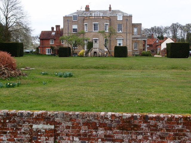
Marden Hill
Marden Hill is a Grade II* listed country house close to the village of Tewin, Hertfordshire. The house, originally Jacobean but substantially rebuilt...

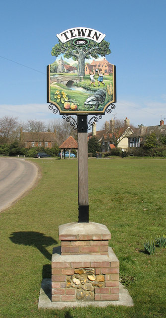
Tewin
Tewin is a village and civil parish in Hertfordshire, England between the towns of Welwyn Garden City, Stevenage, Welwyn (village) and the county town...

Panshanger
Panshanger was a large country house located between the outer edge of Hertford and Welwyn Garden City in Hertfordshire, England. == History == Earl Cowper...

Pishiobury
Pishiobury, sometimes spelled Pishobury, was a manor and estate in medieval Sawbridgeworth, Hertfordshire. Its denomination as "Pishiobury" only emerged...
Nearby Amenities
Located within 500m of 51.811348,-0.14081693Have you been to Red Wood?
Leave your review of Red Wood below (or comments, questions and feedback).