Furnace Plain

Downs, Moorland in Sussex Crawley

England

Furnace Plain

The Hawth The Arts Centre in Crawley. Taken during the annual juggling convention held there (in 1999 in this case)
The Hawth Credit: Alan Simkins

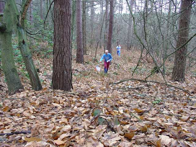
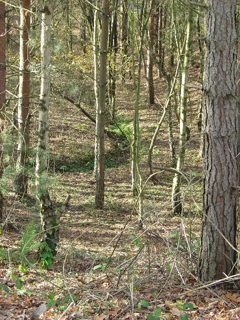
Furnace Plain is a scenic area located in Sussex, England. It is situated in the heart of the picturesque South Downs, encompassing both moorland and downs landscapes. The area is known for its outstanding natural beauty and diverse wildlife.

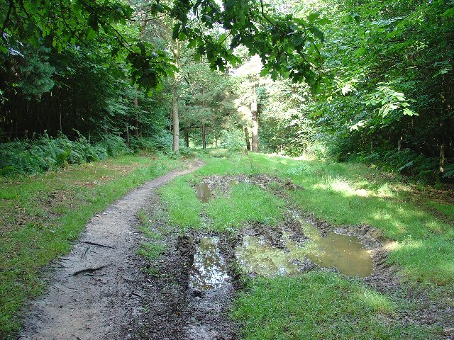
The terrain of Furnace Plain is characterized by rolling hills, heather-covered moorland, and expansive meadows. It offers breathtaking views of the surrounding countryside, with its expansive skies and vibrant colors. The area is a haven for outdoor enthusiasts, attracting hikers, horse riders, and nature lovers alike.

Furnace Plain is home to a variety of plant and animal species. The moorland is carpeted with heather, providing a vibrant purple hue during the summer months. It is also a habitat for several rare bird species, including the Dartford warbler and the stonechat. Additionally, the area supports a rich array of wildlife, such as rabbits, deer, and foxes.

The history of Furnace Plain is deeply rooted in the region. It is believed that the area was once used for iron smelting during the Roman period, hence the name "Furnace Plain." The remnants of ancient ironworks can still be seen in some parts of the landscape.

Overall, Furnace Plain offers a serene and idyllic setting for visitors to immerse themselves in the beauty of nature. With its rolling hills, moorland, and diverse wildlife, it is a must-visit destination for those seeking tranquility and natural wonder in Sussex.

If you have any feedback on the listing, please let us know in the comments section below.

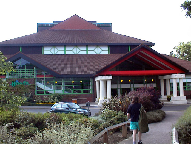
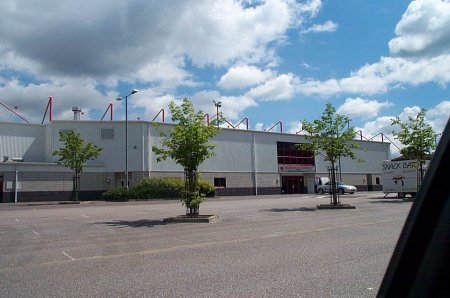
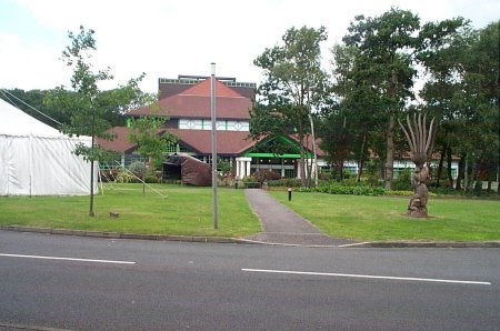
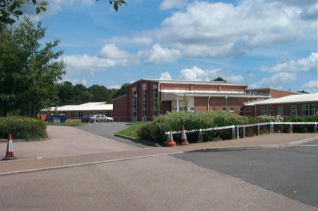
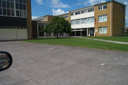
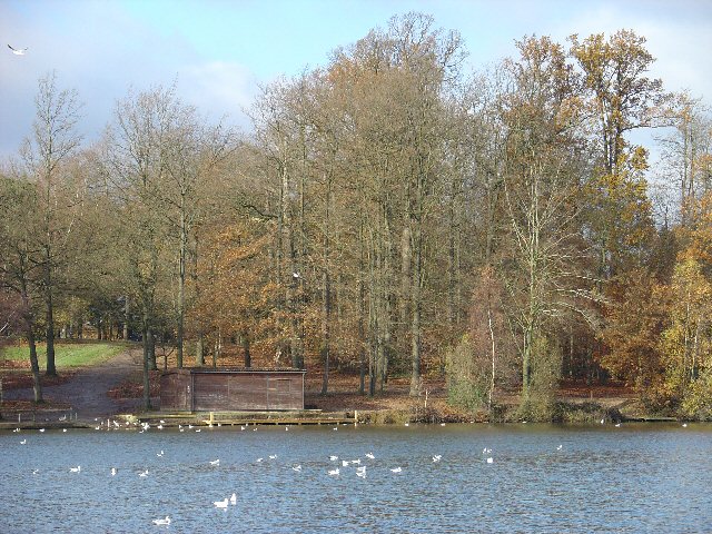
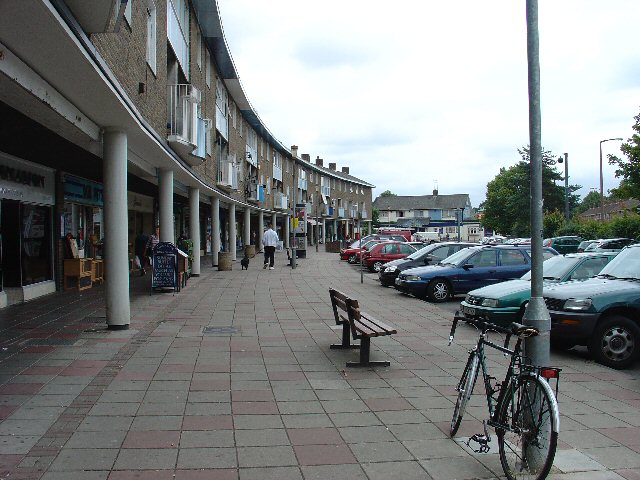
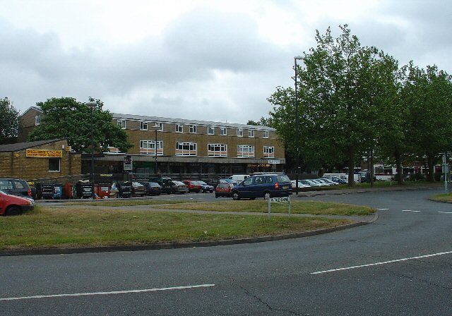
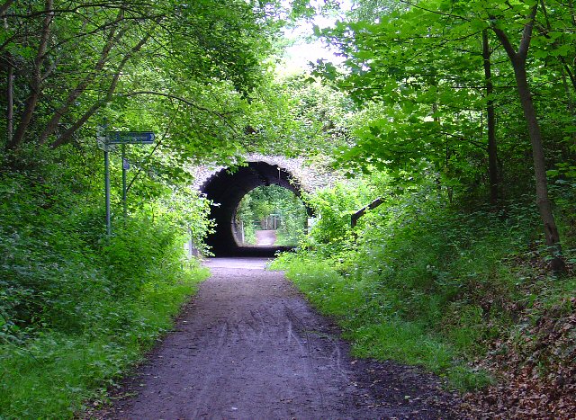
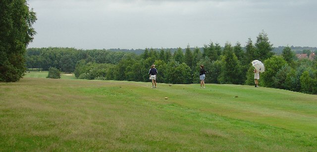
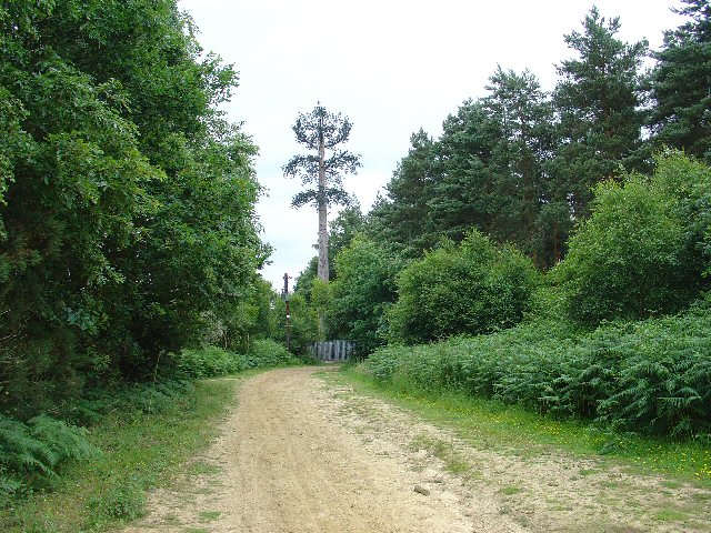
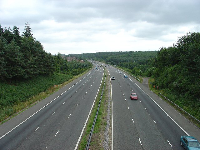
Furnace Plain Images

Images are sourced within 2km of 51.099433/-0.16647713 or Grid Reference TQ2834. Thanks to Geograph Open Source API. All images are credited.

The Hawth The Arts Centre in Crawley. Taken during the annual juggling convention held there (in 1999 in this case)
The Hawth
The Arts Centre in Crawley. Taken during the annual juggling convention held there (in 1999 in this case)
Broadfield Stadium Built by Crawley Council in the early 1990s to re-home Crawley Town Football Club. One of the best non-league stadia in the UK
Broadfield Stadium
Built by Crawley Council in the early 1990s to re-home Crawley Town Football Club. One of the best non-league stadia in the UK
Hawth Theatre Council-built and owned Theatre opened in 1988
Hawth Theatre
Council-built and owned Theatre opened in 1988
Maidenbower Junior School Built and opened as a Middle School in the late 1990s, it became a Junior School following the Crawley Schools' Re-organisation in 2004
Maidenbower Junior School
Built and opened as a Middle School in the late 1990s, it became a Junior School following the Crawley Schools' Re-organisation in 2004
Thomas Bennett Community College Former buildings of the secondary school named for Sir Thomas Bennett, Chairman of Crawley New Town Development Corporation. The school was opened in 1959 and rebuilt on the same campus in 2004-5. The buildings shown were demolished in the summer of 2005.
Thomas Bennett Community College
Former buildings of the secondary school named for Sir Thomas Bennett, Chairman of Crawley New Town Development Corporation. The school was opened in 1959 and rebuilt on the same campus in 2004-5. The buildings shown were demolished in the summer of 2005.
Tilgate Lake, Tilgate Park, Crawley Tilgate Park is the largest public park in Crawley. Before the development of the Crawley New Town, it was the home of the Campbell family. Malcolm Campbell developed and tested his designs of the "Bluebird" world water speed record holding boats on this lake in the 1930s and 40s.
Tilgate Lake, Tilgate Park, Crawley
Tilgate Park is the largest public park in Crawley. Before the development of the Crawley New Town, it was the home of the Campbell family. Malcolm Campbell developed and tested his designs of the "Bluebird" world water speed record holding boats on this lake in the 1930s and 40s.
Tilgate Parade, Tilgate, Crawley Tilgate was one of Crawley New Town's original 12 neighbourhoods. Each neighbourhood had its own shops, pub, church etc. Tilgate Parade still commands a position at the centre of everyday life for many people in this neighbourhood (built mid-1950s).
Tilgate Parade, Tilgate, Crawley
Tilgate was one of Crawley New Town's original 12 neighbourhoods. Each neighbourhood had its own shops, pub, church etc. Tilgate Parade still commands a position at the centre of everyday life for many people in this neighbourhood (built mid-1950s).
Furnace Green Parade, Furnace Green, Crawley At the centre of the local community, this local parade of shops provides access to most everyday needs for the residents of this Crawley neighbourhood. The style of the parade is slightly more modern than that of Tilgate (TQ2735) - late 1950s?
Furnace Green Parade, Furnace Green, Crawley
At the centre of the local community, this local parade of shops provides access to most everyday needs for the residents of this Crawley neighbourhood. The style of the parade is slightly more modern than that of Tilgate (TQ2735) - late 1950s?
Worth Way, just before passing under B2036, Crawley The disused railway between Crawley and East Grinstead was converted into a hard surfaced route for non-motorised traffic. Here we see the route heading towards E. Grinstead, just before passing under the Balcombe Road. The tunnel is not an original from the days when steam trains used to ply this route.
Worth Way, just before passing under B2036, Crawley
The disused railway between Crawley and East Grinstead was converted into a hard surfaced route for non-motorised traffic. Here we see the route heading towards E. Grinstead, just before passing under the Balcombe Road. The tunnel is not an original from the days when steam trains used to ply this route.
Tilgate Golf Course, Crawley Grid square TQ2834 is dominated by most of an 18 hole golf course. This fine course is popular and the view here shows three ladies enjoying a round on a Friday afternoon.
Tilgate Golf Course, Crawley
Grid square TQ2834 is dominated by most of an 18 hole golf course. This fine course is popular and the view here shows three ladies enjoying a round on a Friday afternoon.
Tilgate Forest: natural and un-natural trees Tilgate Forest dominates this square. The proximity to the M23 and high vantage point have led a mobile phone company to locate a mast here. It's supposed to blend in with the other flora, but I've never seen another tree like this round here!
Tilgate Forest: natural and un-natural trees
Tilgate Forest dominates this square. The proximity to the M23 and high vantage point have led a mobile phone company to locate a mast here. It's supposed to blend in with the other flora, but I've never seen another tree like this round here!
M23 Motorway looking NE from footbridge between Tilgate Golf Course and Tilgate Forest The M23 cuts across the S of grid square TQ2834. The motorway acts as a boundary between Tilgate Golf Course (to the N) and Tilgate Forest (to the S). The view here is that from a footbridge that crosses over the motorway. In the distance, the edge of the Maidenbower neighbourhood of Crawley can be seen (centre of photo, to left of motorway).
M23 Motorway looking NE from footbridge between Tilgate Golf Course and Tilgate Forest
The M23 cuts across the S of grid square TQ2834. The motorway acts as a boundary between Tilgate Golf Course (to the N) and Tilgate Forest (to the S). The view here is that from a footbridge that crosses over the motorway. In the distance, the edge of the Maidenbower neighbourhood of Crawley can be seen (centre of photo, to left of motorway).
Orienteering in Tilgate Forest, Nr Crawley, West Sussex This Square is dominated by Tilgate Forest, a public access forest managed by the Forestry Commission. The photo shows the mature mixed woodland that makes up most of the forest area. This part is predominantly broadleaved deciduous trees, with the odd coniferous example and a light scattering of rhododendron thickets. The high canopy is quite dense and doesn't let much heavy vegetation take hold. One of several popular woodland areas in the vicinity for orienteering. The event here was a Christmas Score event staged by Southdowns Orienteers.
Orienteering in Tilgate Forest, Nr Crawley, West Sussex
This Square is dominated by Tilgate Forest, a public access forest managed by the Forestry Commission. The photo shows the mature mixed woodland that makes up most of the forest area. This part is predominantly broadleaved deciduous trees, with the odd coniferous example and a light scattering of rhododendron thickets. The high canopy is quite dense and doesn't let much heavy vegetation take hold. One of several popular woodland areas in the vicinity for orienteering. The event here was a Christmas Score event staged by Southdowns Orienteers.
Ditch Bend in a Shallow Re-Entrant in a Coniferous Wooded Part of Tilgate Forest, Nr Crawley, West Sussex This view shows typical vegetation in much of this part of Tilgate Forest: pine trees (with the odd invading birch) with a fairly clean forest floor. The trees tend to form quite a dense canopy, preventing much from growing beneath them. The ditch is part of the drainage network.
Ditch Bend in a Shallow Re-Entrant in a Coniferous Wooded Part of Tilgate Forest, Nr Crawley, West Sussex
This view shows typical vegetation in much of this part of Tilgate Forest: pine trees (with the odd invading birch) with a fairly clean forest floor. The trees tend to form quite a dense canopy, preventing much from growing beneath them. The ditch is part of the drainage network.
Bridleway through Oldhouse Warren, Near Crawley, West Sussex. A wide (and muddy, in places) bridle route through this otherwise private area of woodland. Links Pease Pottage (via Parish Lane) to Whitely Hill.
Bridleway through Oldhouse Warren, Near Crawley, West Sussex.
A wide (and muddy, in places) bridle route through this otherwise private area of woodland. Links Pease Pottage (via Parish Lane) to Whitely Hill.
1990/2000s Housing Estate - Chapman Road, Maidenbower Neighbourhood of Crawley, West Sussex The newest of Crawleys "Neighbourhood" areas. This part of Maidenbower was built on the site of Worth Forest and spreads into the NW corner of this grid square. As was the fashion at the time, the houses on this housing estate are built to appear slightly different from their immediate neighbours. Amazing how many detached/semi-detached houses can fit in such a small area! The photo shows the street name sign in front of the car. All the street name signs in Crawley are of this general pattern (see supplemental photo for details).
1990/2000s Housing Estate - Chapman Road, Maidenbower Neighbourhood of Crawley, West Sussex
The newest of Crawleys "Neighbourhood" areas. This part of Maidenbower was built on the site of Worth Forest and spreads into the NW corner of this grid square. As was the fashion at the time, the houses on this housing estate are built to appear slightly different from their immediate neighbours. Amazing how many detached/semi-detached houses can fit in such a small area! The photo shows the street name sign in front of the car. All the street name signs in Crawley are of this general pattern (see supplemental photo for details).
Chapman Road, Maidenbower - general pattern of street name signs in Crawley. Sign for Chapman Road, next to Chapman's bike!
The "neighbourhood" identity of the various parts of Crawley is emphasised by all of the street name signs having the name of the neighbourhood included on the bottom right corner of the sign (as shown in the picture). Additionally, each neighbourhood has its own colour for the band across the centre of the sign, Maidenbower uses a blue colour. Other area colours include: Northgate (green); Manor Royal Industrial Estate (Black - "Industrial").
Chapman Road, Maidenbower - general pattern of street name signs in Crawley.
Sign for Chapman Road, next to Chapman's bike! The "neighbourhood" identity of the various parts of Crawley is emphasised by all of the street name signs having the name of the neighbourhood included on the bottom right corner of the sign (as shown in the picture). Additionally, each neighbourhood has its own colour for the band across the centre of the sign, Maidenbower uses a blue colour. Other area colours include: Northgate (green); Manor Royal Industrial Estate (Black - "Industrial").
1990/2000s Housing. Another view of Chapman Road, Crawley, West Sussex This short road (150m long) has a variety of housing - all helping to make the high packing density feel less oppressive. These houses are in the middle section of the road and are generally bigger than those shown near the street name sign. The origins of the area being a forest are evident in this view, with a couple of very large and mature trees left in situ to add interest to the area.
1990/2000s Housing. Another view of Chapman Road, Crawley, West Sussex
This short road (150m long) has a variety of housing - all helping to make the high packing density feel less oppressive. These houses are in the middle section of the road and are generally bigger than those shown near the street name sign. The origins of the area being a forest are evident in this view, with a couple of very large and mature trees left in situ to add interest to the area.
Show me another place!

Furnace Plain is located at Grid Ref: TQ2834 (Lat: 51.099433, Lng: -0.16647713)

Administrative County: West Sussex

District: Crawley

Police Authority: Sussex

What 3 Words

///soup.still.fuels. Near Furnace Green, West Sussex

Nearby Locations

Furnace Plain

Related Wikis

Tilgate Forest

Tilgate Forest is a 6.9-hectare (17-acre) Local Nature Reserve in Crawley in West Sussex. It is owned and managed by Crawley Borough Council and is part...
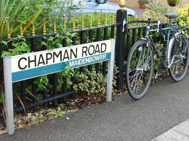
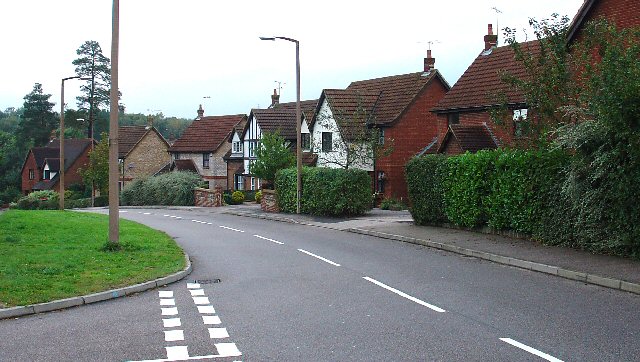
Furnace Green

Furnace Green is one of 14 neighbourhoods in Crawley in West Sussex, England, and a local government ward. Furnace Green is located to the east of the...

Tilgate & Furnace Green (electoral division)

Tilgate & Furnace Green is an electoral division of West Sussex in the United Kingdom, and returns one member to sit on West Sussex County Council. �...

Tilgate Lake

Tilgate Lake is the biggest of three lakes at Tilgate Park, and remains a popular water activity centre and tourist attraction in Crawley, West Sussex...

Related Videos

Dragging my friends on a trip to Crawley #visit #pub #travel

DATE OF FILMING MARCH 21ST 2023 The Brewery Shades. Greene King The White Hart pub.

Nearby Amenities

Located within 500m of 51.099433,-0.16647713
Power: tower
Lat/Long: 51.101967/-0.1620228
Power: tower
Lat/Long: 51.0990908/-0.1633608
Power: tower
Lat/Long: 51.0972836/-0.1641854
Barrier: stile
Lat/Long: 51.1028581/-0.1640669
Barrier: stile
Lat/Long: 51.1026905/-0.1646781
Barrier: bollard
Bicycle: yes
Foot: yes
Horse: yes
Motor Vehicle: no
Lat/Long: 51.097322/-0.1727081
Addr Housename: Nymans Court
Addr Housenumber: 23 26
Addr Street: Forestfield
Lat/Long: 51.1030371/-0.1668459
Noexit: yes
Lat/Long: 51.0983018/-0.1598982
Noexit: yes
Lat/Long: 51.1009225/-0.1605284
Bicycle Parking
Tilgate Lake car park
Bicycle Parking: stands
Capacity: 8
Covered: no
Lat/Long: 51.0970992/-0.1724983
Crossing
Lat/Long: 51.0980746/-0.170553
Barrier: stile
Lat/Long: 51.1030459/-0.166065
Parking Entrance
Lat/Long: 51.1034472/-0.1662915
Parking Entrance
Lat/Long: 51.1032814/-0.1639474
The data included in this document is from www.openstreetmap.org. The data is made available under ODbL.

Have you been to Furnace Plain?

Leave your review of Furnace Plain below (or comments, questions and feedback).