Nuns' Meadows

Downs, Moorland in Huntingdonshire Huntingdonshire

England

Nuns' Meadows

Berry Lane
Berry Lane Credit: Jonathan Thacker

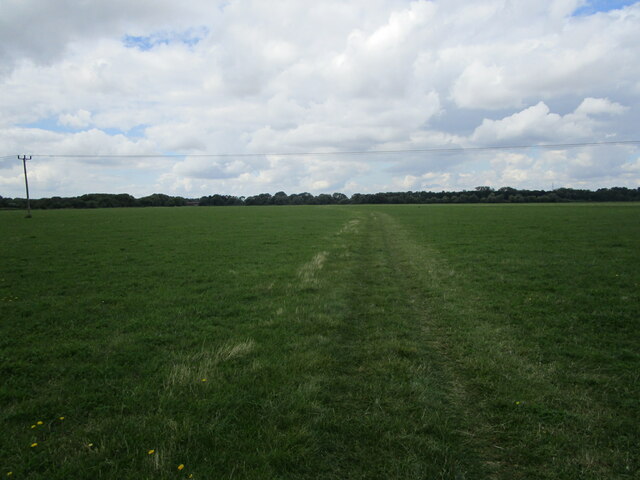
Nuns' Meadows, located in Huntingdonshire, is a picturesque area known for its stunning downs and moorland landscapes. Covering a vast expanse of land, this natural beauty spot offers visitors a unique experience of the English countryside.

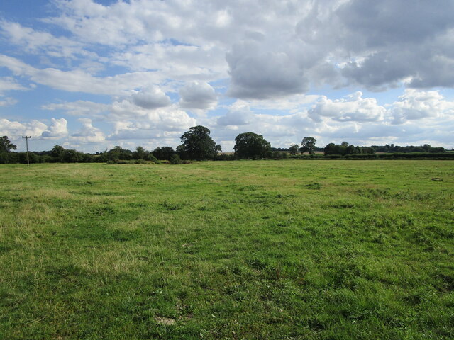
The meadows are characterized by rolling hills, lush green pastures, and vibrant wildflowers that dot the landscape. The area is rich in biodiversity, providing a habitat for numerous plant and animal species. Visitors may encounter rare birds, such as the skylark, as well as various butterflies and insects.

One of the main attractions of Nuns' Meadows is the presence of ancient ruins. The remains of an old monastery stand as a testament to the area's historical significance. Visitors can explore the ruins and imagine the lives of the nuns who once inhabited this serene location.

Huntingdonshire's Nuns' Meadows is a popular destination for outdoor enthusiasts. The downs and moorland offer excellent opportunities for hiking, walking, and picnicking. The rolling hills provide breathtaking views of the surrounding countryside, making it a perfect spot for photographers and nature lovers alike.

The area is well-maintained, with designated paths and trails for visitors to explore. Local conservation efforts ensure the preservation of the meadows' natural beauty and protect the diverse flora and fauna that call this place home.

Nuns' Meadows, with its stunning landscapes, rich history, and vibrant biodiversity, is a hidden gem in Huntingdonshire. It offers a peaceful retreat for those seeking solace in nature or a chance to immerse themselves in the region's fascinating past.

If you have any feedback on the listing, please let us know in the comments section below.

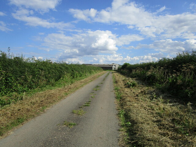
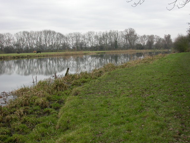
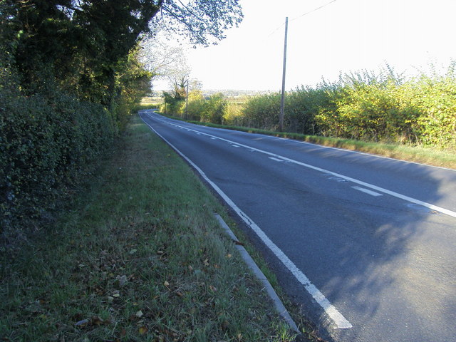
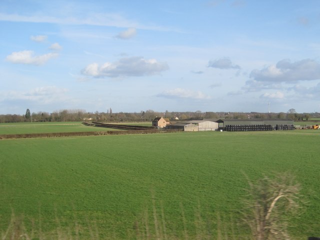
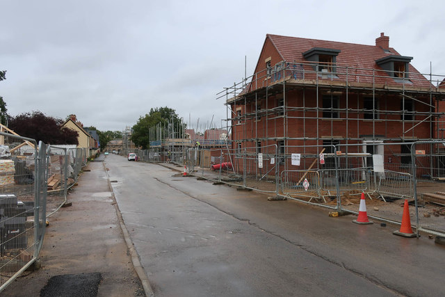
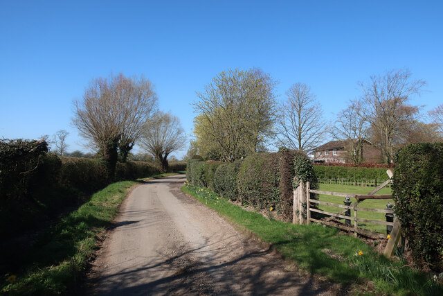
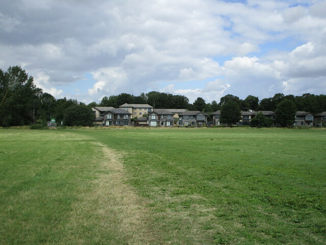
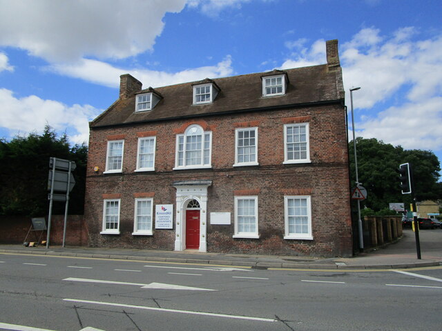
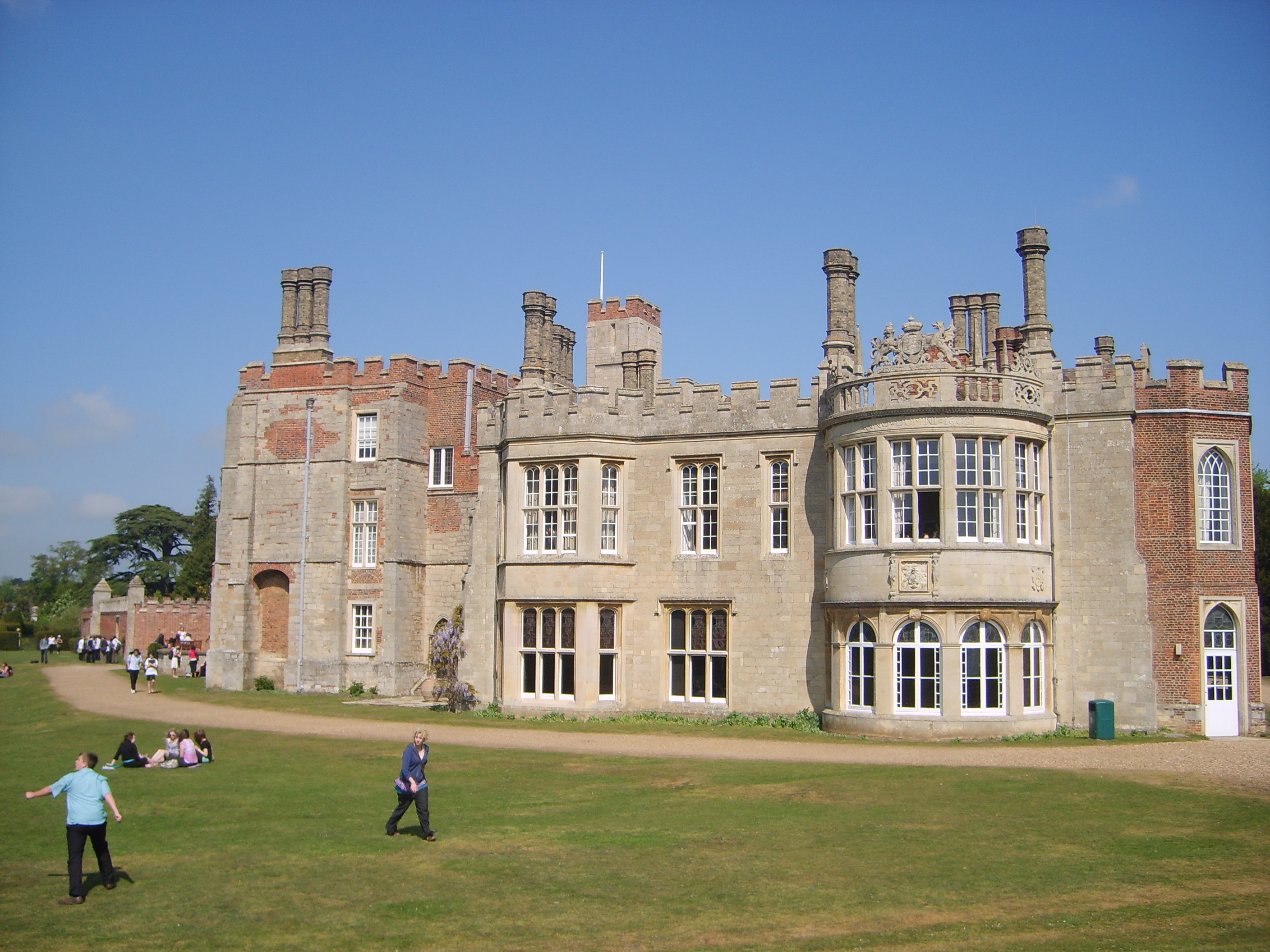
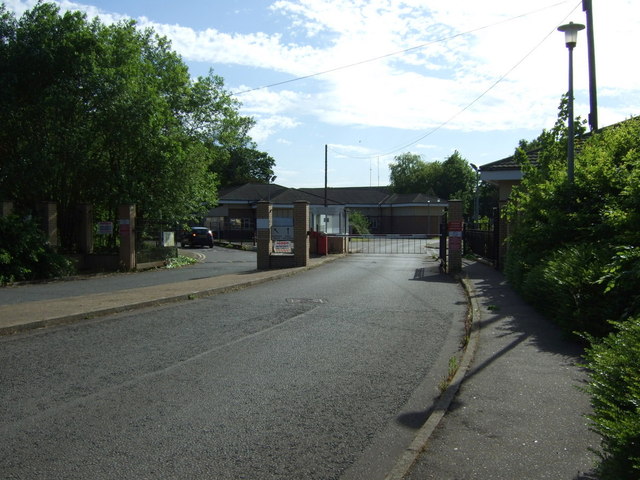
Nuns' Meadows Images

Images are sourced within 2km of 52.324069/-0.20910056 or Grid Reference TL2271. Thanks to Geograph Open Source API. All images are credited.

Berry Lane
Berry Lane
Grass field off Berry Lane
Railway Embankment Dismantled Kettering to Huntingdon Line. Opened 1866, closed to passengers 1959, closed to freight 1978.
Railway Embankment
Dismantled Kettering to Huntingdon Line. Opened 1866, closed to passengers 1959, closed to freight 1978.
Lost Bridge Dismantled Kettering to Huntingdon Railway. Remains of the structure at the base of the river bridge can be seen on the far bank.
Lost Bridge
Dismantled Kettering to Huntingdon Railway. Remains of the structure at the base of the river bridge can be seen on the far bank.
Cows by the River The river has veered east and the far bank with cows is comfortably into the square, where I cannot go.
Cows by the River
The river has veered east and the far bank with cows is comfortably into the square, where I cannot go.
Weir on the River Great Ouse Follow the Ouse Valley Way from Offord Cluny and you will see this weir as you approach Brampton and Huntingdon
Weir on the River Great Ouse
Follow the Ouse Valley Way from Offord Cluny and you will see this weir as you approach Brampton and Huntingdon
B1043 heading to Godmanchester B1043 by Corpus Christi Farm heading to Godmanchester
B1043 heading to Godmanchester
B1043 by Corpus Christi Farm heading to Godmanchester
Golf Club House Brampton Park Golf Club entrance and club house
Golf Club House
Brampton Park Golf Club entrance and club house
Ouse Valley Way A kissing gate on the well mown Ouse Valley Way near Offord Marina
Ouse Valley Way
A kissing gate on the well mown Ouse Valley Way near Offord Marina
Ingrowing angling sign Seen on the Ouse Valley Way long distance footpath near Offord Marina.
Ingrowing angling sign
Seen on the Ouse Valley Way long distance footpath near Offord Marina.
Buttress Wall for an old railway embankment Engineering bricks in a wall that once supported the embankment of the Kettering to Huntingdon railway line. The path is part of the Ouse Valley Way long distance footpath.
Buttress Wall for an old railway embankment
Engineering bricks in a wall that once supported the embankment of the Kettering to Huntingdon railway line. The path is part of the Ouse Valley Way long distance footpath.
View from a Peterborough-London train - Fields around Berry Lane
Remains of old railway bridge This wall of engineering bricks is all that remains of the western abutment of the bridge which carried the Midland Railway's line from Kettering to Huntingdon across the Great Ouse, between the stations at Buckden and Huntingdon East. The line was opened in 1855 and closed to passengers in 1959, although some goods services continued until the 1970s. In its heyday Midland trains continued to Cambridge over the Great Eastern line via St Ives.

For a view in the opposite direction see Michael Trolove's <a href="https://www.geograph.org.uk/photo/1923443">TL2169 : Buttress Wall for an old railway embankment</a>.
Remains of old railway bridge
This wall of engineering bricks is all that remains of the western abutment of the bridge which carried the Midland Railway's line from Kettering to Huntingdon across the Great Ouse, between the stations at Buckden and Huntingdon East. The line was opened in 1855 and closed to passengers in 1959, although some goods services continued until the 1970s. In its heyday Midland trains continued to Cambridge over the Great Eastern line via St Ives. For a view in the opposite direction see Michael Trolove's TL2169 : Buttress Wall for an old railway embankment.
House building at Brampton Park Large scale building on the site of RAF Brampton, after the RAF moved to RAF Wyton. The plans are for 400 new homes.
House building at Brampton Park
Large scale building on the site of RAF Brampton, after the RAF moved to RAF Wyton. The plans are for 400 new homes.
Berry Lane
Berry Lane
The Ouse Valley Way crossing Port Holme
Port Holme and Waters Meet Waters Meet is a housing development close to a minor branch of the River Great Ouse.
Port Holme and Waters Meet
Waters Meet is a housing development close to a minor branch of the River Great Ouse.
Montague House, Huntingdon Mid eighteenth century house <span class="nowrap"><a title="https://historicengland.org.uk/listing/the-list/list-entry/1128610" rel="nofollow ugc noopener" href="https://historicengland.org.uk/listing/the-list/list-entry/1128610">Link</a><img style="margin-left:2px;" alt="External link" title="External link - shift click to open in new window" src="https://s1.geograph.org.uk/img/external.png" width="10" height="10"/></span> isolated from the town centre by the Ring Road which passes in front of it.
Montague House, Huntingdon
Mid eighteenth century house LinkExternal link isolated from the town centre by the Ring Road which passes in front of it.
Show me another place!

Nuns' Meadows is located at Grid Ref: TL2271 (Lat: 52.324069, Lng: -0.20910056)

Administrative County: Cambridgeshire

District: Huntingdonshire

Police Authority: Cambridgeshire

What 3 Words

///obliging.agree.maximum. Near Brampton, Cambridgeshire

Related Wikis

Nearby Amenities

Located within 500m of 52.324069,-0.20910056
Environment Agency (Brampton Office)
Addr City: Huntingdon
Addr Housename: Environment Agency
Addr Postcode: PE28 4NE
Addr Street: Bromholme Lane
Office: government
Opening Hours: 09:00-17:00
Lat/Long: 52.3229362/-0.207161
Bus Stop
Bromholme Lane
Bus: yes
Naptan AtcoCode: 0500HBRAM005
Naptan Bearing: SW
Naptan CommonName: Bromholme Lane
Naptan Indicator: near
Naptan Landmark: Bromholme Lane
Naptan NaptanCode: cmbdmtaw
Naptan ShortCommonName: Bromholme Lane
Naptan Street: Huntingdon Road
Naptan Verified: no
Public Transport: platform
Source: naptan_import
Lat/Long: 52.3242385/-0.2046707
Bus Stop
Bromholme Lane
Bus: yes
Naptan AtcoCode: 0500HBRAM014
Naptan Bearing: NE
Naptan CommonName: Bromholme Lane
Naptan Indicator: opp
Naptan Landmark: Bromholme Lane
Naptan NaptanCode: cmbdmtgd
Naptan ShortCommonName: Bromholme Lane
Naptan Street: Huntingdon Road
Naptan Verified: no
Public Transport: platform
Source: naptan_import
Lat/Long: 52.3242647/-0.2052126
Barrier: kissing_gate
Lat/Long: 52.3228728/-0.2119831
Barrier: kissing_gate
Lat/Long: 52.3228141/-0.2124513
Tourism: picnic_site
Lat/Long: 52.3206067/-0.2064312
Tourism: picnic_site
Lat/Long: 52.3205408/-0.2065303
Bench
Lat/Long: 52.3263656/-0.2107843
Life Ring
Emergency: life_ring
Inscription: Fothpath entrance from Nun's Bridge
Ref: 9
Lat/Long: 52.3252348/-0.2038488
Bench
Lat/Long: 52.3244197/-0.2071817
Life Ring
Emergency: life_ring
Information: board
Ref: 4
Lat/Long: 52.3245714/-0.2047196
Information: board
Tourism: information
Lat/Long: 52.3263949/-0.2067021
Information: board
Tourism: information
Lat/Long: 52.3226402/-0.2044388
Parking Space
Parking Space: normal
Lat/Long: 52.3226436/-0.2045205
Turning Circle
Lat/Long: 52.3201128/-0.2070997
The data included in this document is from www.openstreetmap.org. The data is made available under ODbL.

Have you been to Nuns' Meadows?

Leave your review of Nuns' Meadows below (or comments, questions and feedback).