Hinchingbrooke
Settlement in Huntingdonshire Huntingdonshire
England
Hinchingbrooke
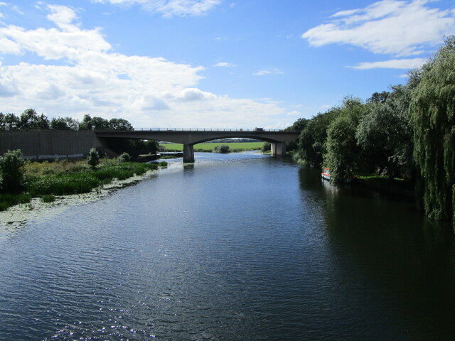
Hinchingbrooke is a historic market town located in the district of Huntingdonshire, in the county of Cambridgeshire, England. Situated on the banks of the River Great Ouse, it is approximately 20 miles northwest of Cambridge and 60 miles north of London.
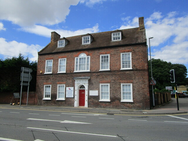
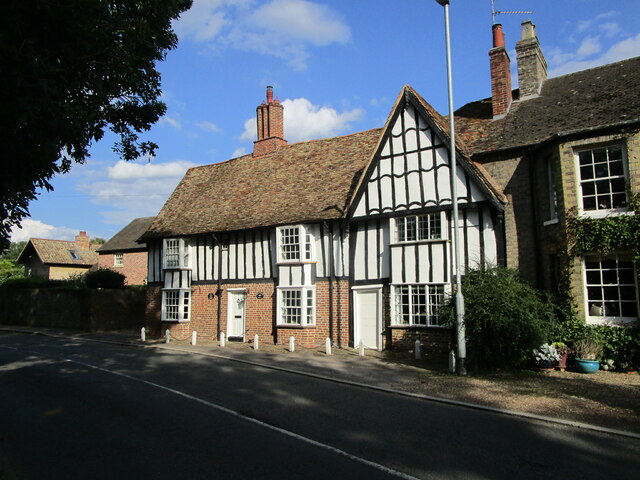
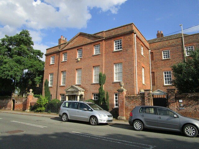
Dating back to Saxon times, Hinchingbrooke has a rich history and is home to several notable landmarks. The town's most prominent feature is Hinchingbrooke House, a Grade I listed Tudor country house that has served as a family home, a hospital during World War II, and is now a renowned school. The house is surrounded by beautiful gardens and parkland, providing a picturesque setting.
Hinchingbrooke boasts a vibrant town center with a diverse range of shops, restaurants, and amenities. The weekly market, held in the town square, offers a variety of fresh produce, crafts, and household goods. The town also has a selection of pubs and cafes, providing a pleasant environment for locals and visitors alike.
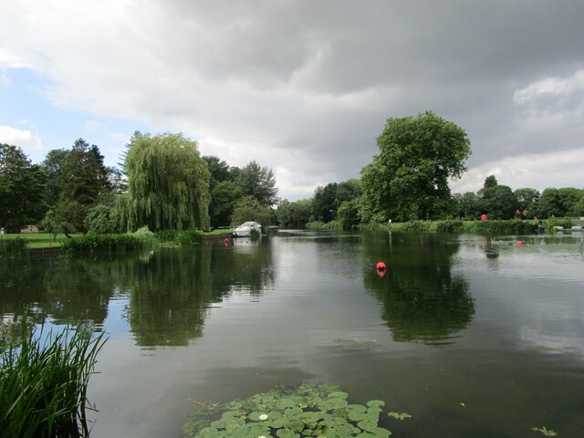
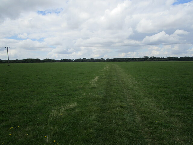
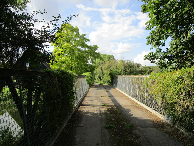
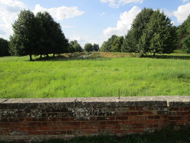
Nature enthusiasts can enjoy the scenic beauty of Hinchingbrooke Country Park, a large green space with woodlands, meadows, and lakes. The park offers various walking and cycling trails, as well as opportunities for birdwatching and picnicking.
Transport links in Hinchingbrooke are excellent, with the A14 and A1(M) nearby, providing easy access to other towns and cities in the region. The town is also served by regular bus services, connecting it to neighboring areas.
Overall, Hinchingbrooke is a charming and historically significant town offering a mix of cultural heritage, natural beauty, and modern amenities.
If you have any feedback on the listing, please let us know in the comments section below.
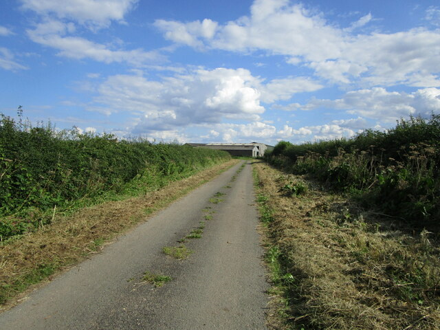
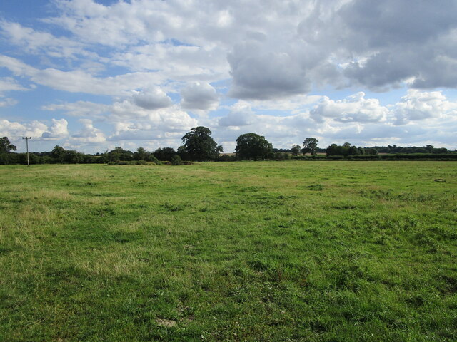
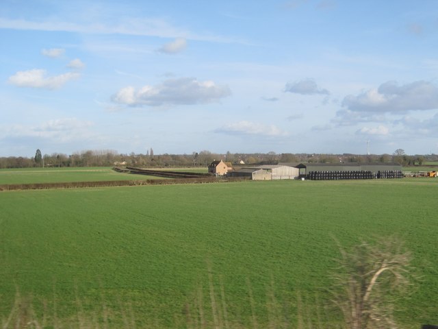
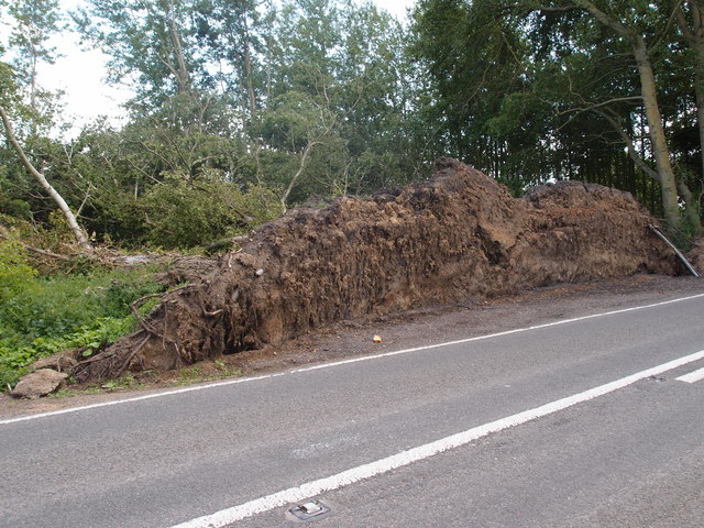
Hinchingbrooke Images
Images are sourced within 2km of 52.328714/-0.1970257 or Grid Reference TL2271. Thanks to Geograph Open Source API. All images are credited.

Hinchingbrooke is located at Grid Ref: TL2271 (Lat: 52.328714, Lng: -0.1970257)
Administrative County: Cambridgeshire
District: Huntingdonshire
Police Authority: Cambridgeshire
What 3 Words
///roadways.sloping.pipes. Near Huntingdon, Cambridgeshire
Nearby Locations
Related Wikis
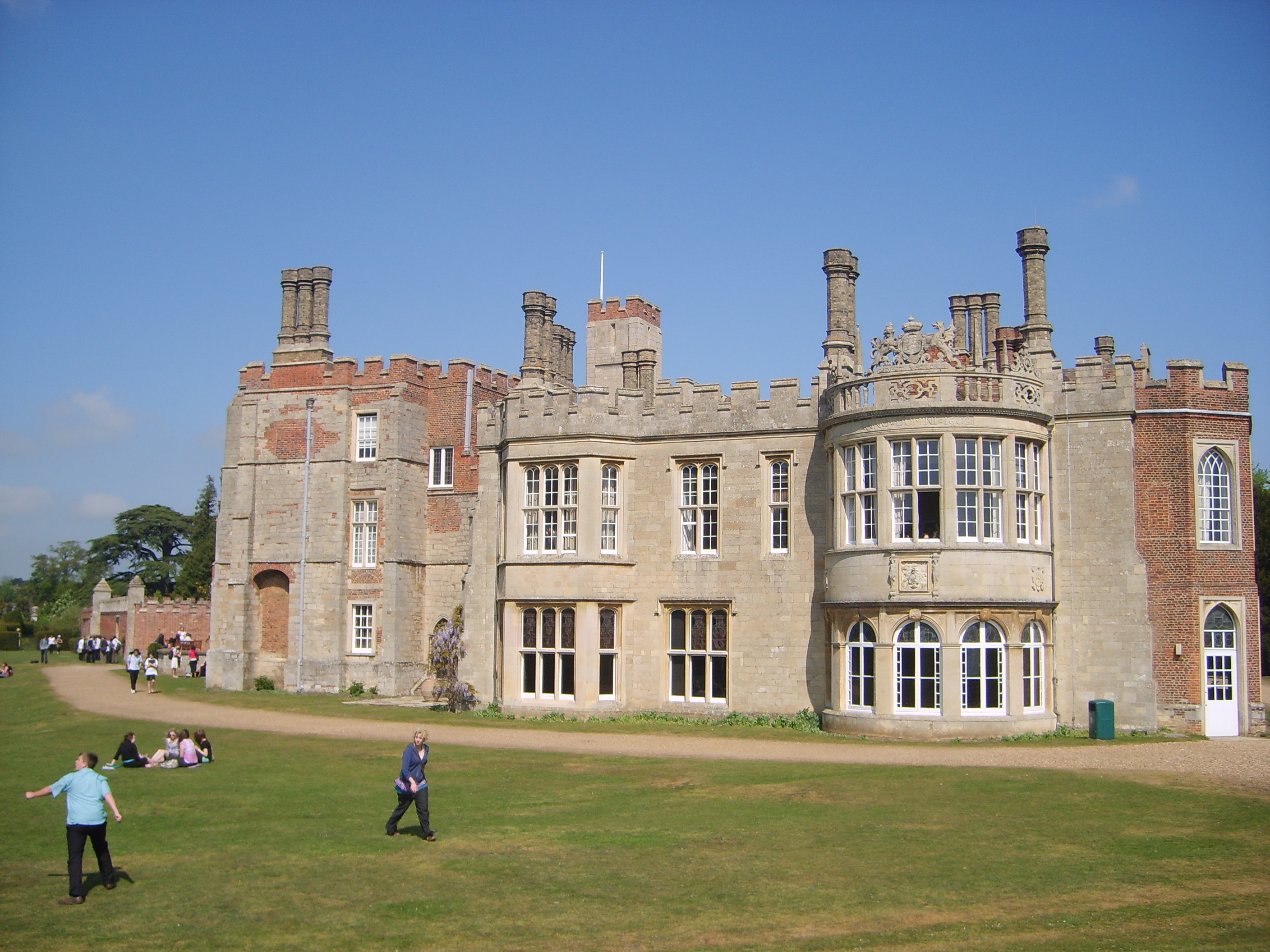
Hinchingbrooke House
Hinchingbrooke House is an English stately home in Huntingdon, Cambridgeshire, now part of Hinchingbrooke School. The house was built around an 11th-century...

Hinchingbrooke School
Hinchingbrooke School is a large secondary school situated on the outskirts of Huntingdon in Cambridgeshire, historically in Huntingdonshire. Originally...

Huntingdon railway station
Huntingdon railway station (formerly known as Huntingdon North) serves the market town of Huntingdon in Cambridgeshire, England. It is on the East Coast...

Huntingdon East railway station
Huntingdon East railway station served the town of Huntingdon, Cambridgeshire, England from 1883 to 1959. == History == The station opened on 1 May 1883...

Hinchingbrooke Hospital
Hinchingbrooke Hospital is a small district general hospital in Hinchingbrooke near Huntingdon, Cambridgeshire. Opened in 1983, it serves the Huntingdonshire...

All Saints' Church, Huntingdon
All Saints' Church is a Church of England church located in Huntingdon, Cambridgeshire, England. There have been multiple churches on the site of this...

Huntingdon Town Hall
Huntingdon Town Hall is a municipal structure on Market Hill in Huntingdon, Cambridgeshire, England. The town hall, which was the headquarters of Huntingdon...

Cromwell Museum
The Cromwell Museum in Huntingdon, England, is a museum containing collections exploring the life of Oliver Cromwell and to a lesser extent his son Richard...
Related Videos

Huntingdon Town Centre, Huntingdonshire in Cambridgeshire A Walking Tour
24th April 2022 Unusually quiet town centre on a sunday morning.
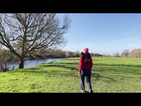
Nordic walking along River Great Ouse
Morning HIITs but stopping off to try and spot the otters.


Nearby Amenities
Located within 500m of 52.328714,-0.1970257Have you been to Hinchingbrooke?
Leave your review of Hinchingbrooke below (or comments, questions and feedback).