Heartwood Forest
Downs, Moorland in Hertfordshire St. Albans
England
Heartwood Forest
Heartwood Forest is a large woodland area located in the county of Hertfordshire, England. Covering an impressive area of 858 acres, it is the largest continuous native woodland in the county. The forest is situated on the north side of St Albans, near the villages of Sandridge and Wheathampstead.
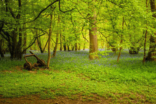
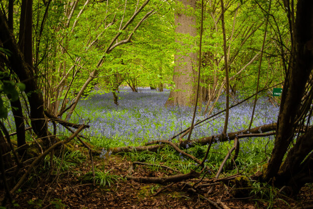
The landscape of Heartwood Forest is incredibly diverse, consisting of ancient woodland, open grasslands, and areas of heathland. The woodland itself is rich in biodiversity, with a wide variety of tree species including oak, ash, and cherry. It is also home to a number of rare and protected species such as the dormouse, nightjar, and black hairstreak butterfly.
The forest is managed by the Woodland Trust, a leading conservation charity in the UK. They have been working tirelessly to restore and expand the woodland, planting over 600,000 trees since 2008. As a result, Heartwood Forest is becoming an important habitat for wildlife and a valuable carbon sink.
In addition to its ecological significance, Heartwood Forest is also a popular destination for outdoor enthusiasts. There are numerous walking trails and bridleways that wind through the woodland, offering visitors the chance to explore its natural beauty. The forest also has a visitor center, picnic areas, and a children's play area, making it an ideal spot for a family day out.
Overall, Heartwood Forest is an impressive natural area in Hertfordshire, offering a unique blend of ancient woodland, open spaces, and diverse wildlife. It is a place where nature conservation and recreational activities coexist harmoniously, providing a haven for both humans and wildlife alike.
If you have any feedback on the listing, please let us know in the comments section below.
Heartwood Forest Images
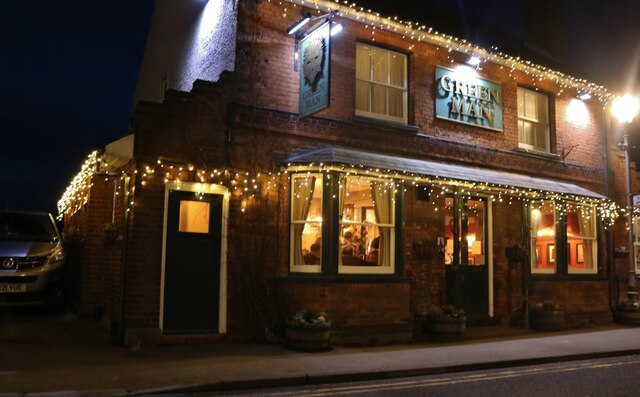
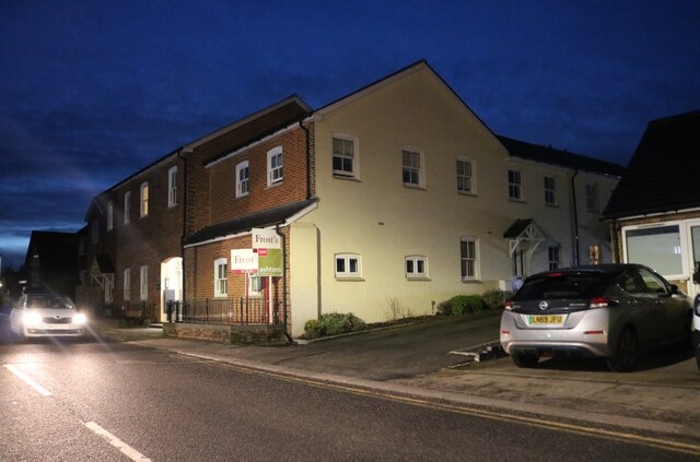
Images are sourced within 2km of 51.788159/-0.30697672 or Grid Reference TL1611. Thanks to Geograph Open Source API. All images are credited.

Heartwood Forest is located at Grid Ref: TL1611 (Lat: 51.788159, Lng: -0.30697672)
Administrative County: Hertfordshire
District: St. Albans
Police Authority: Hertfordshire
What 3 Words
///camera.stars.apple. Near Wheathampstead, Hertfordshire
Nearby Locations
Related Wikis

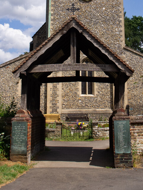
Sandridge Lychgate
Sandridge Lychgate is a war memorial in the village of Sandridge, Hertfordshire, England. The timber lychgate with its flanking walls is listed Grade II...

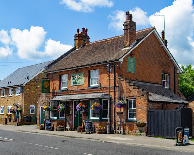
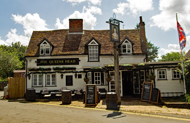
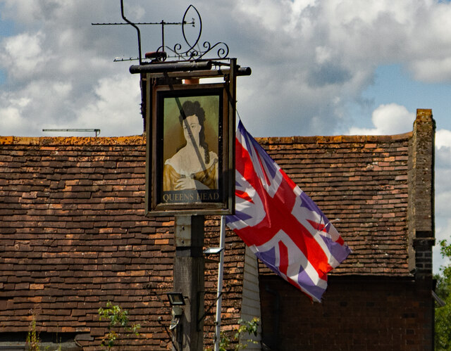
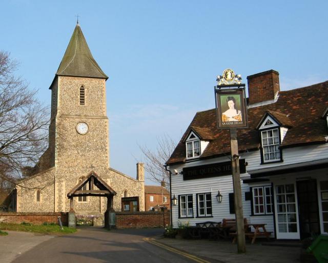
The Queen's Head, Sandridge
The Queens Head is a public house in the village of Sandridge to the north of St Albans, Hertfordshire, England. The timber framed building is weather...

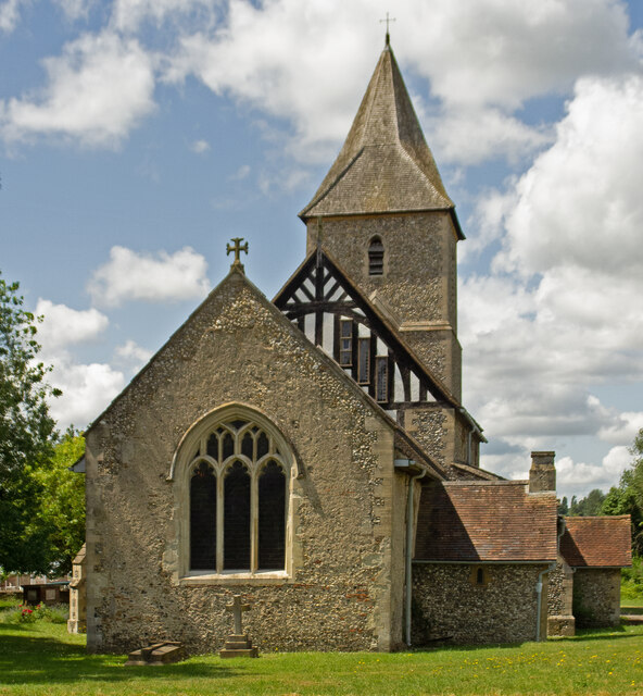
St Leonard's Church, Sandridge
St Leonard's Church is in Sandridge, a village in Hertfordshire, England. It is an active Anglican parish church. The building is Grade II* listed: notable...

Sandridge
Sandridge is a village and civil parish between the city centre of St Albans (2.5 miles (4.0 km) to the south-west) and Wheathampstead in Hertfordshire...
Nearby Amenities
Located within 500m of 51.788159,-0.30697672Have you been to Heartwood Forest?
Leave your review of Heartwood Forest below (or comments, questions and feedback).