Nomansland Common

Downs, Moorland in Hertfordshire St. Albans

England

Nomansland Common

Frost's estate agents, Wheathampstead All the Frost's I've seen have been in Surrey, I didn't know they were up here as well.
Frost's estate agents, Wheathampstead Credit: David Howard

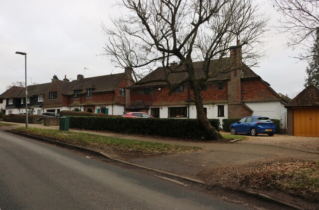
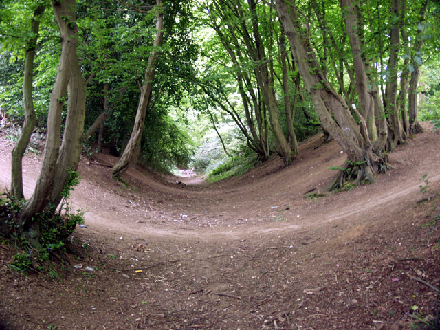
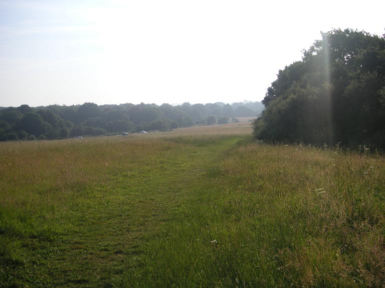
Nomansland Common is a picturesque expanse of open land located in Hertfordshire, England. Spanning over 400 acres, this beautiful area offers a diverse landscape consisting of downs and moorland. It is situated near the villages of Wheathampstead and Sandridge, making it easily accessible for outdoor enthusiasts and nature lovers.

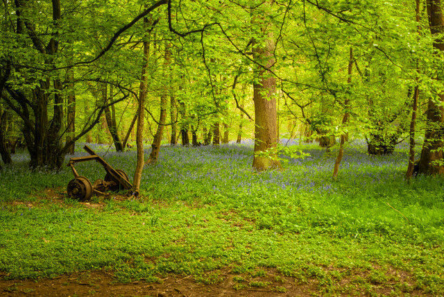
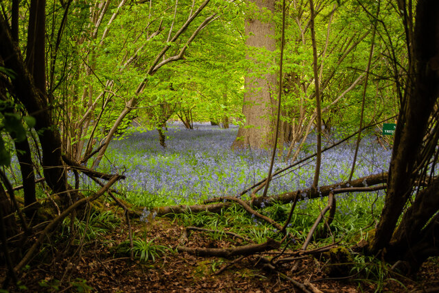
The common is characterized by rolling hills, heathland, and scattered woodlands, creating a serene and tranquil atmosphere. Visitors can enjoy long walks or hikes along the well-maintained footpaths that crisscross the area, providing stunning views of the surrounding countryside.

Nomansland Common is also home to a variety of wildlife, including many species of birds, butterflies, and small mammals. Birdwatchers will find an abundance of feathered friends, such as skylarks and yellowhammers, while nature enthusiasts can spot rare plants like the orchids that bloom in the summer.

Historically, the common was used for grazing livestock and has retained its rural charm over the years. It is now managed by the Countryside Management Service and protected under the Countryside Rights of Way Act. This ensures its preservation for future generations to enjoy.

In addition to its natural beauty, Nomansland Common offers recreational facilities such as picnic areas and a children's playground, making it an ideal destination for families. The common also hosts various events throughout the year, including guided walks and nature trails, providing educational opportunities for visitors.

Overall, Nomansland Common is a haven of natural beauty, offering a peaceful retreat for visitors seeking to connect with nature and enjoy the great outdoors.

If you have any feedback on the listing, please let us know in the comments section below.

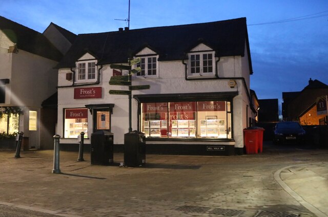
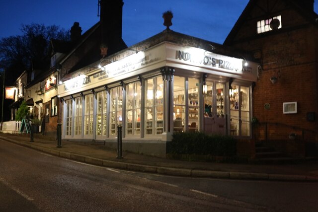
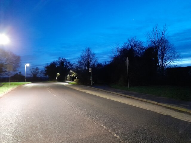
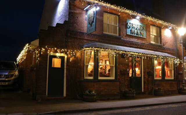
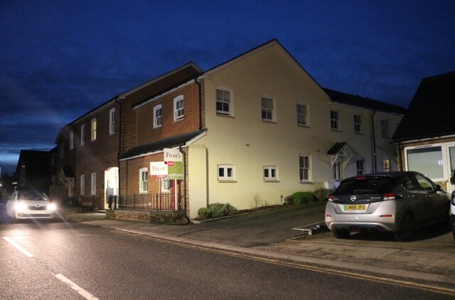
Nomansland Common Images

Images are sourced within 2km of 51.798077/-0.30698232 or Grid Reference TL1612. Thanks to Geograph Open Source API. All images are credited.

Frost's estate agents, Wheathampstead All the Frost's I've seen have been in Surrey, I didn't know they were up here as well.
Frost's estate agents, Wheathampstead
All the Frost's I've seen have been in Surrey, I didn't know they were up here as well.
Nonno's Pizza, Wheathampstead
The Hill, Wheathampstead
The Green Man, Sandridge
High Street, Sandridge
Sandridge : Heartwood Forest
Sandridge : Heartwood Forest bluebells
Large house on Wheathampstead Road, Harpenden I think I could manage to live here.
Large house on Wheathampstead Road, Harpenden
I think I could manage to live here.
Houses on Wheathampstead Road, Harpenden These are very similar to some in Hampstead Garden Suburb.
Houses on Wheathampstead Road, Harpenden
These are very similar to some in Hampstead Garden Suburb.
Sandridge : "Green Man" public house
Sandridge : village shop Grade II listed - <span class="nowrap"><a title="https://historicengland.org.uk/listing/the-list/list-entry/1308275?section=official-list-entry" rel="nofollow ugc noopener" href="https://historicengland.org.uk/listing/the-list/list-entry/1308275?section=official-list-entry">Link</a><img style="margin-left:2px;" alt="External link" title="External link - shift click to open in new window" src="https://s1.geograph.org.uk/img/external.png" width="10" height="10"/></span>.
Sandridge : village shop
Grade II listed - LinkExternal link.
Sandridge : "Queens Head" public house Grade II listed - <span class="nowrap"><a title="https://historicengland.org.uk/listing/the-list/list-entry/1102874?section=official-list-entry" rel="nofollow ugc noopener" href="https://historicengland.org.uk/listing/the-list/list-entry/1102874?section=official-list-entry">Link</a><img style="margin-left:2px;" alt="External link" title="External link - shift click to open in new window" src="https://s1.geograph.org.uk/img/external.png" width="10" height="10"/></span>.
Sandridge : "Queens Head" public house
Grade II listed - LinkExternal link.
Sandridge : Queens Head and flag
Sandridge : Church of St Leonard Grade II* listed church : description at this <span class="nowrap"><a title="https://historicengland.org.uk/listing/the-list/list-entry/1308298?section=official-list-entry" rel="nofollow ugc noopener" href="https://historicengland.org.uk/listing/the-list/list-entry/1308298?section=official-list-entry">Link</a><img style="margin-left:2px;" alt="External link" title="External link - shift click to open in new window" src="https://s1.geograph.org.uk/img/external.png" width="10" height="10"/></span>.
Sandridge : Church of St Leonard
Grade II* listed church : description at this LinkExternal link.
Sandridge : lych-gate to Church of St Leonard "Built 1920, dedicated as a war memorial 1921" - <span class="nowrap"><a title="https://historicengland.org.uk/listing/the-list/list-entry/1102872?section=official-list-entry" rel="nofollow ugc noopener" href="https://historicengland.org.uk/listing/the-list/list-entry/1102872?section=official-list-entry">Link</a><img style="margin-left:2px;" alt="External link" title="External link - shift click to open in new window" src="https://s1.geograph.org.uk/img/external.png" width="10" height="10"/></span>.
Sandridge : lych-gate to Church of St Leonard
"Built 1920, dedicated as a war memorial 1921" - LinkExternal link.
Devils Dyke, Wheathampstead Part of the 'Belgic oppidum', a defensive earthwork dating from the Iron Age.
Devils Dyke, Wheathampstead
Part of the 'Belgic oppidum', a defensive earthwork dating from the Iron Age.
St Leonard's church, Sandridge Looking East from TL171106 to St Leonard's church (with a steeple).
St Leonard's church, Sandridge
Looking East from TL171106 to St Leonard's church (with a steeple).
Wheathampstead village villages always seem to be devoid of people.
Wheathampstead village
villages always seem to be devoid of people.
Show me another place!

Nomansland Common is located at Grid Ref: TL1612 (Lat: 51.798077, Lng: -0.30698232)

Administrative County: Hertfordshire

District: St. Albans

Police Authority: Hertfordshire

What 3 Words

///order.robots.boats. Near Wheathampstead, Hertfordshire

Related Wikis

Nomansland Common

Nomansland Common (sometimes simply called No Man's Land) is an area of common land in Hertfordshire, England to the south of Harpenden and the south-west...

Heartwood Forest

Heartwood Forest is a planned forest (woodland creation site) in Hertfordshire, England. The site covers 347 hectares (860 acres), the largest continuous...

Devil's Dyke, Hertfordshire

Devil's Dyke is the remains of a prehistoric defensive ditch which lies at the east side of the village of Wheathampstead, Hertfordshire, England. It is...

St Helen's Church, Wheathampstead

St Helen's Church is the oldest church in Wheathampstead, Hertfordshire, England, although the date of its origins is unknown. The wooden Anglo-Saxon structure...
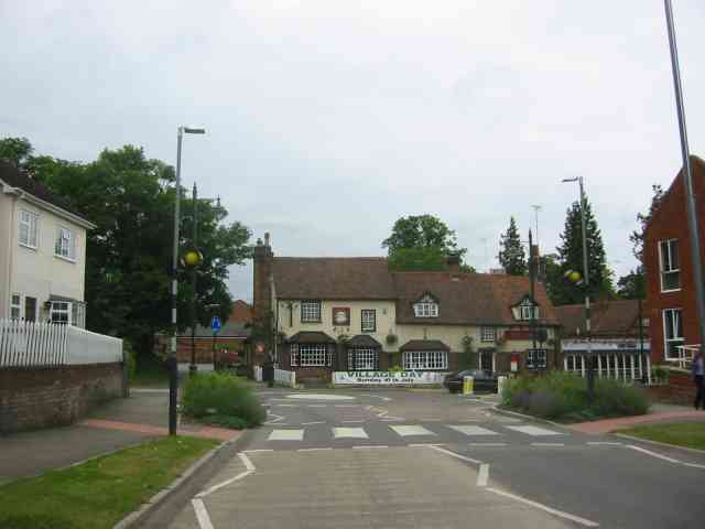
Wheathampstead

Wheathampstead is a village and civil parish in Hertfordshire, England, north of St Albans. The population of the ward at the 2001 census was 6,058. Included...
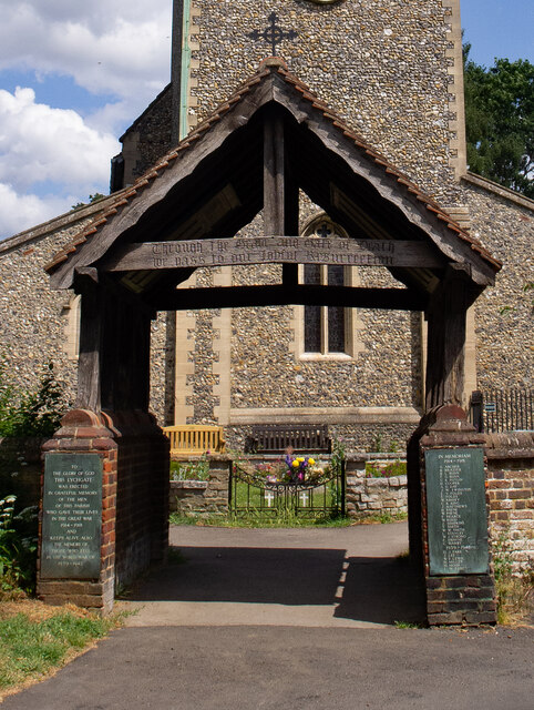
Sandridge Lychgate

Sandridge Lychgate is a war memorial in the village of Sandridge, Hertfordshire, England. The timber lychgate with its flanking walls is listed Grade II...

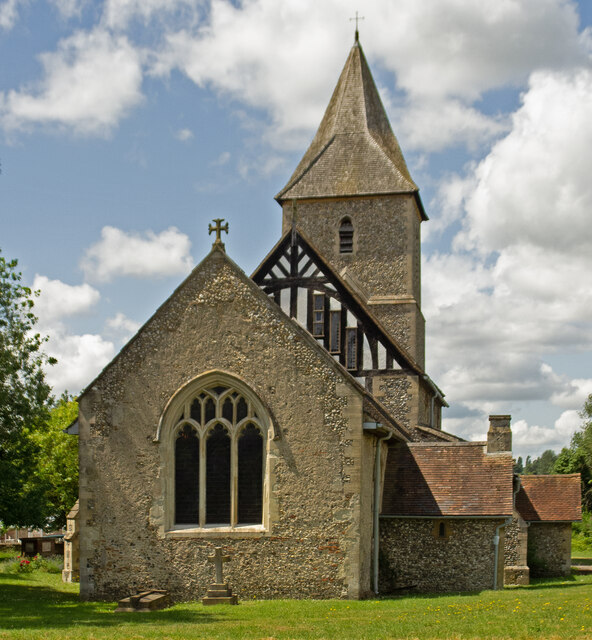
St Leonard's Church, Sandridge

St Leonard's Church is in Sandridge, a village in Hertfordshire, England. It is an active Anglican parish church. The building is Grade II* listed: notable...

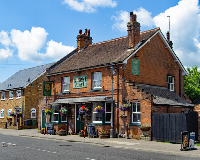
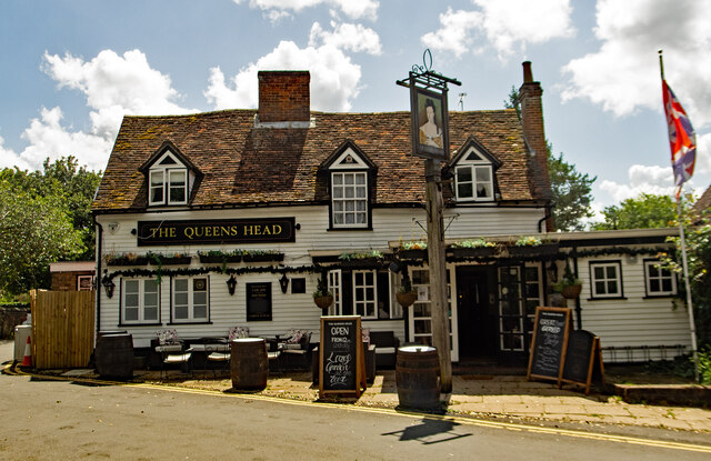
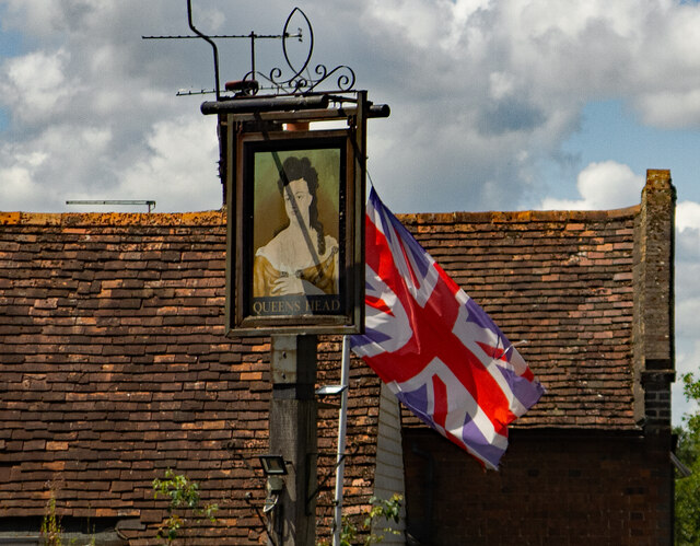
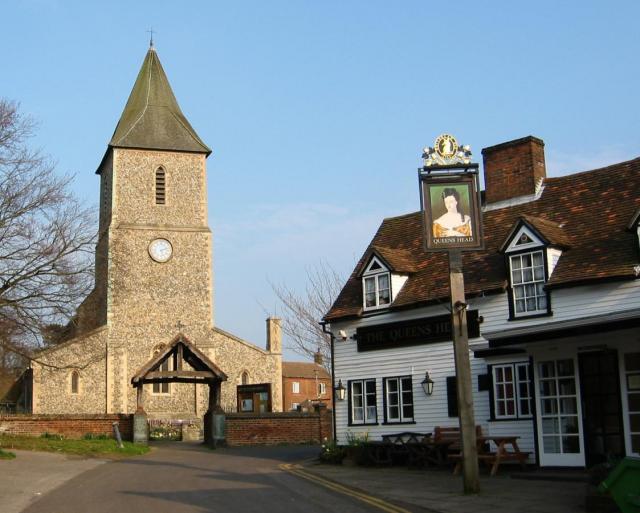
The Queen's Head, Sandridge

The Queens Head is a public house in the village of Sandridge to the north of St Albans, Hertfordshire, England. The timber framed building is weather...

Nearby Amenities

Located within 500m of 51.798077,-0.30698232
Waste Basket
Waste: trash
Lat/Long: 51.7976258/-0.3039144
Nomansland
Place: hamlet
Lat/Long: 51.8008611/-0.3031485
The data included in this document is from www.openstreetmap.org. The data is made available under ODbL.

Have you been to Nomansland Common?

Leave your review of Nomansland Common below (or comments, questions and feedback).