Clarendon Park
Downs, Moorland in Surrey Elmbridge
England
Clarendon Park
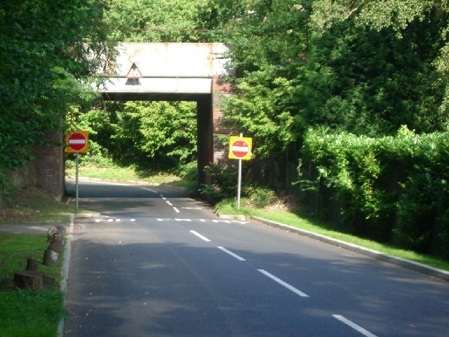
Clarendon Park is a picturesque area located in Surrey, England. It is known for its diverse landscape, combining rolling downs, lush moorland, and enchanting woodlands. Covering an area of approximately 500 acres, Clarendon Park offers a tranquil escape from the bustling city life.
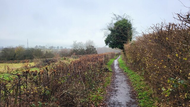
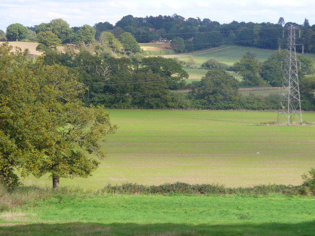
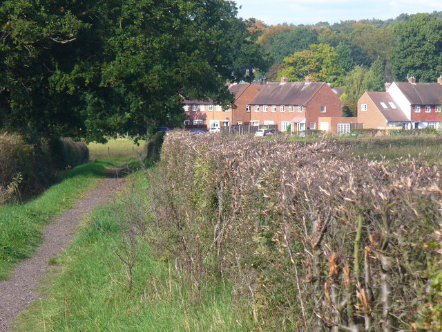
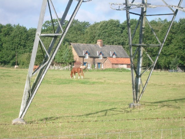
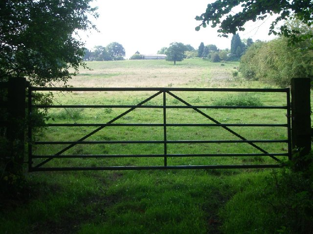
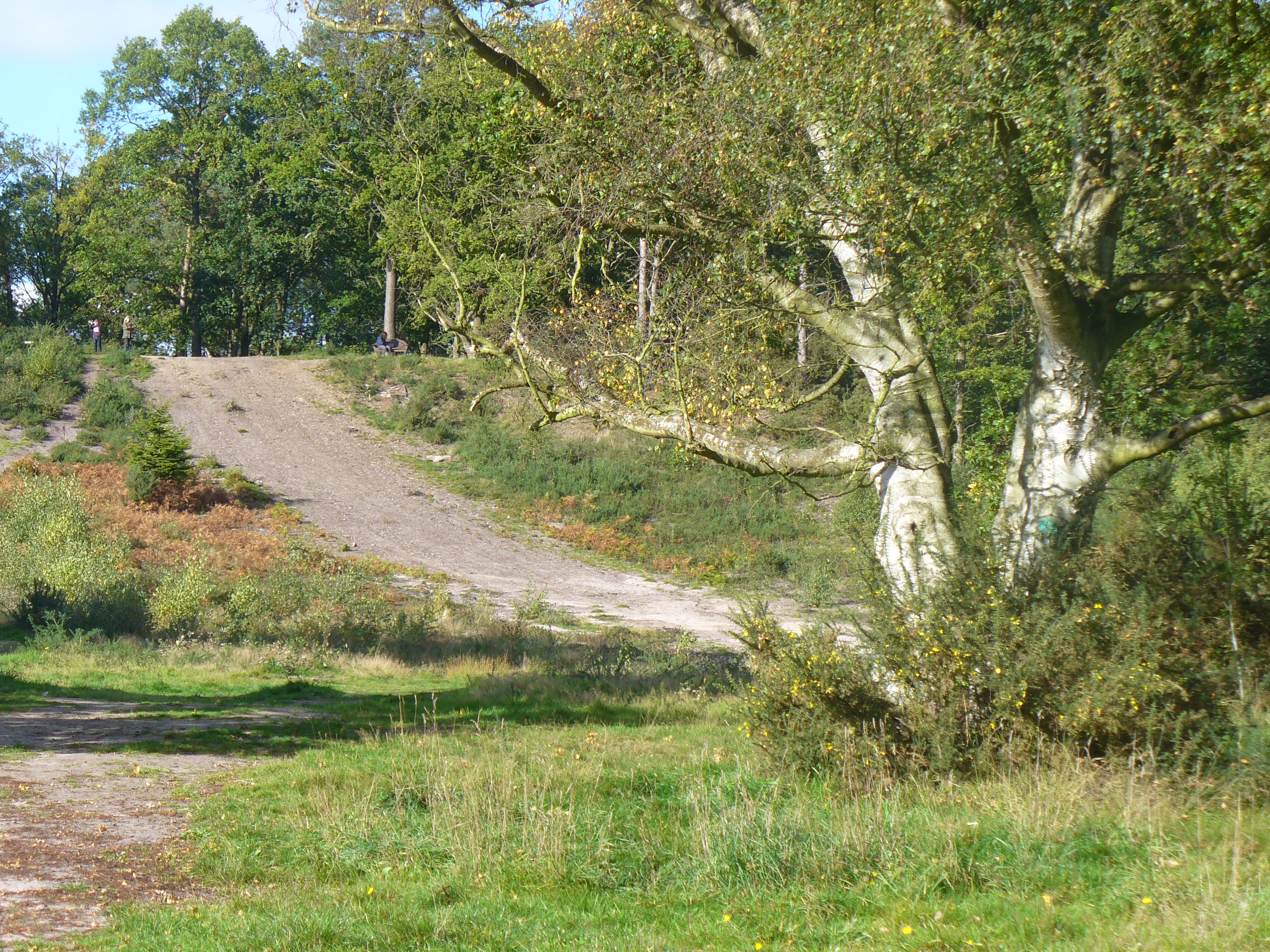
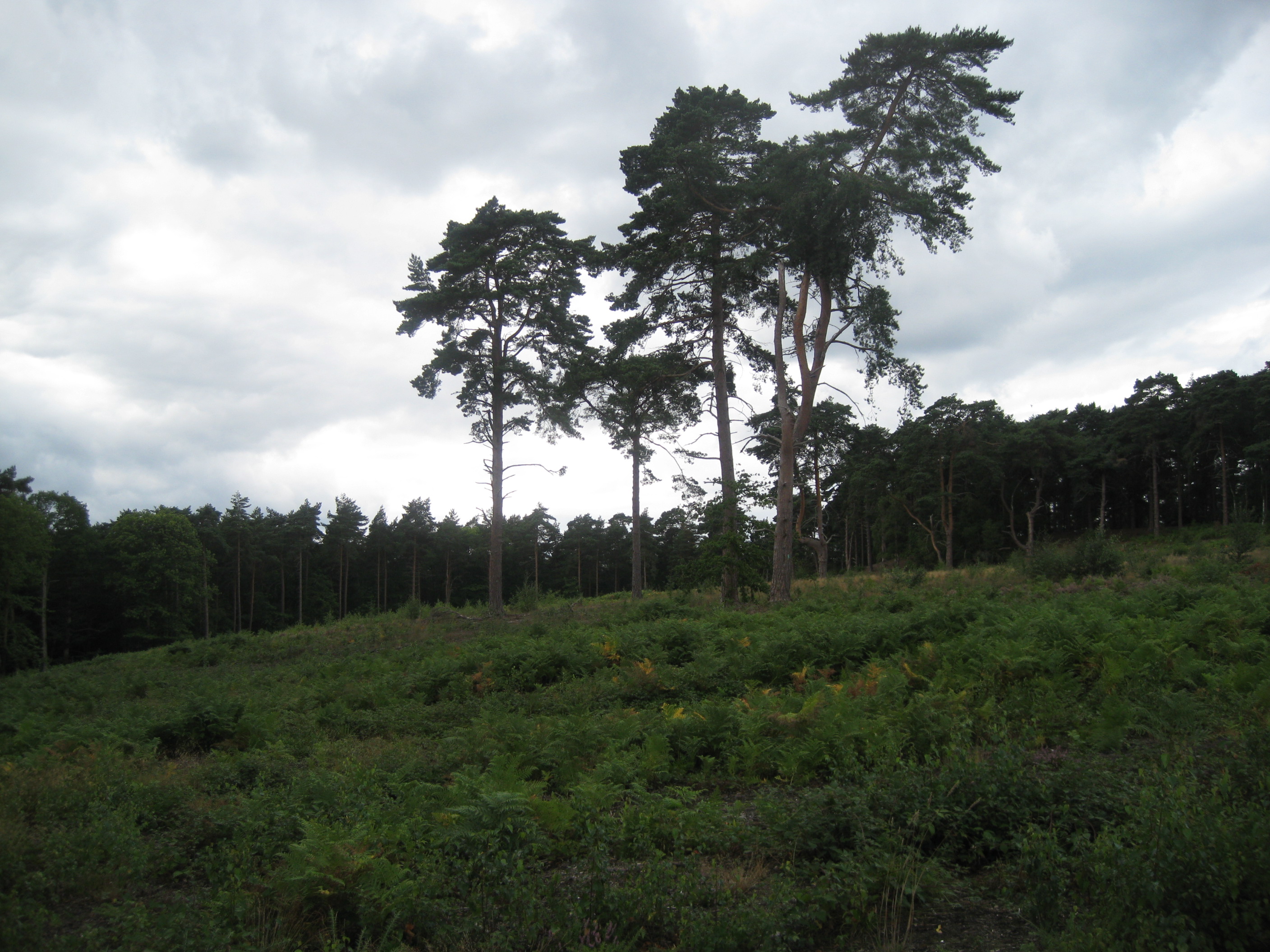
The downs of Clarendon Park are characterized by their sweeping hills and breathtaking views. These open grasslands provide a perfect setting for leisurely walks, picnics, and outdoor activities. The area is home to a wide array of wildflowers and native wildlife, making it a popular spot for nature enthusiasts and photographers.
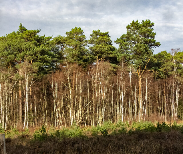
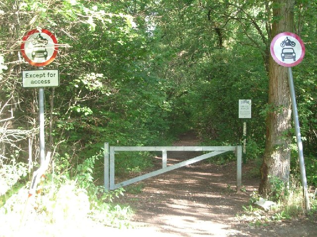
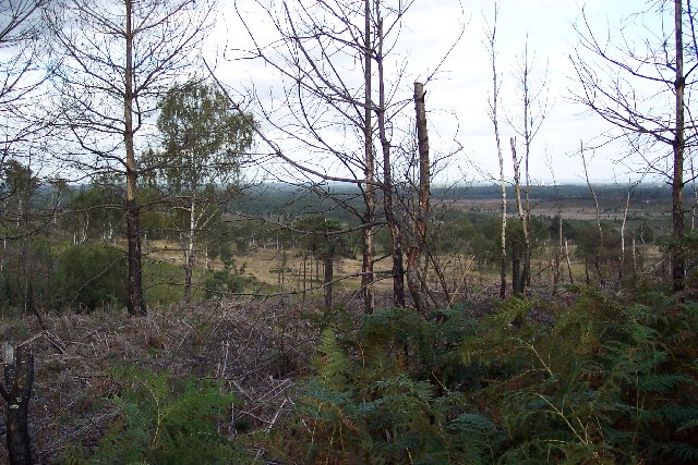
Adjacent to the downs, the moorland of Clarendon Park adds another layer of natural beauty to the area. With its heather-covered hills and mysterious atmosphere, it exudes a sense of wilderness and tranquility. Moorland walks are a popular pastime here, allowing visitors to immerse themselves in the untamed beauty of the surroundings.
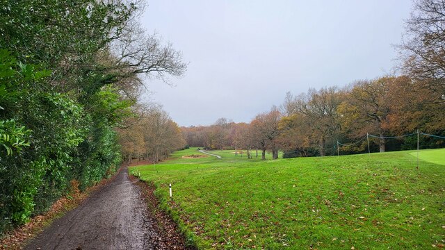
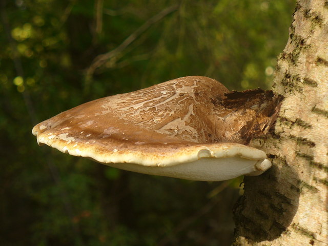
The woodlands of Clarendon Park complete the diverse landscape, offering a peaceful retreat for those seeking shade and serenity. Ancient trees, such as oak and beech, provide a canopy of green, while the forest floor is carpeted with ferns and bluebells in the springtime.
Clarendon Park is a haven for outdoor enthusiasts, offering a variety of activities such as hiking, cycling, and horseback riding. It also features well-maintained trails and paths, making it accessible for people of all ages and abilities.
Overall, Clarendon Park in Surrey is a natural oasis that showcases the beauty and diversity of the British countryside. Whether you are seeking adventure, relaxation, or simply a connection with nature, this area has something to offer everyone.
If you have any feedback on the listing, please let us know in the comments section below.
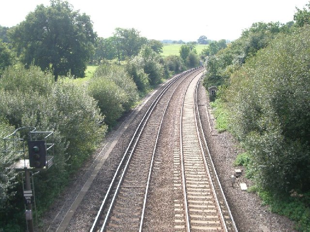
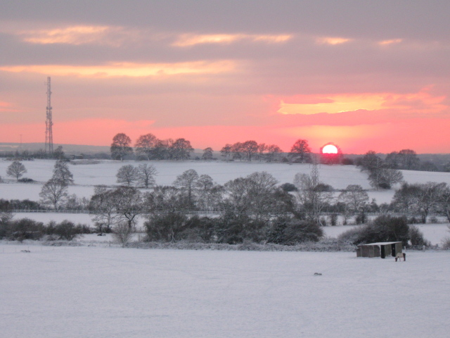
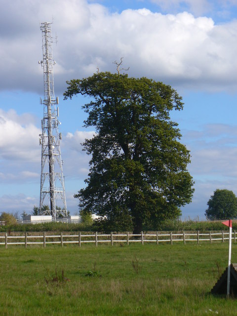
Clarendon Park Images
Images are sourced within 2km of 51.335518/-0.358919 or Grid Reference TQ1460. Thanks to Geograph Open Source API. All images are credited.
Clarendon Park is located at Grid Ref: TQ1460 (Lat: 51.335518, Lng: -0.358919)
Administrative County: Surrey
District: Elmbridge
Police Authority: Surrey
What 3 Words
///pints.pies.tend. Near Cobham, Surrey
Nearby Locations
Related Wikis
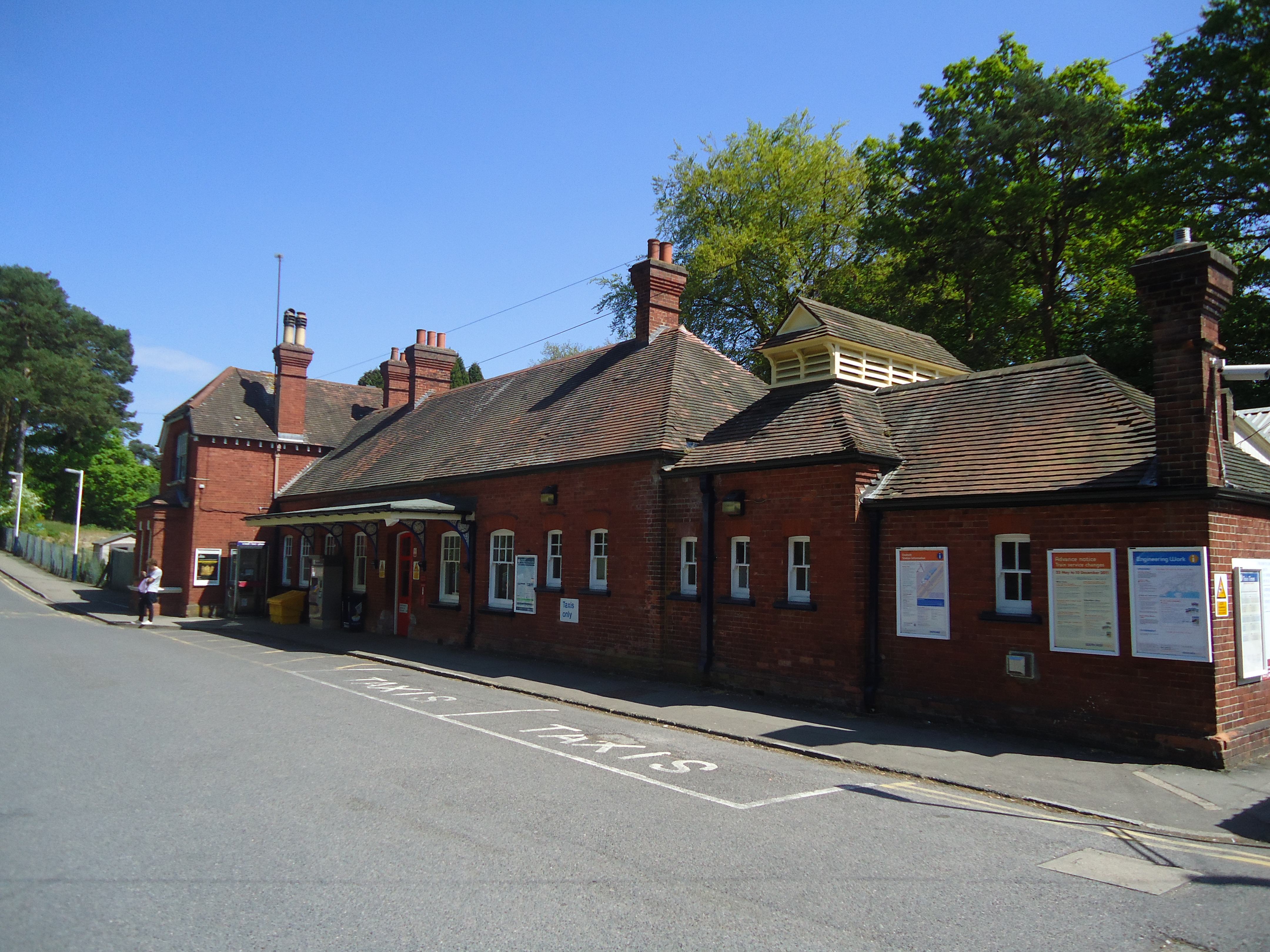
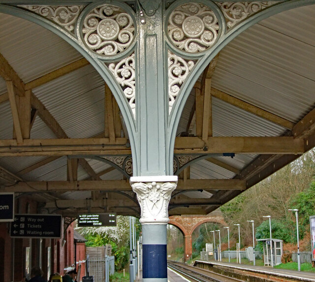
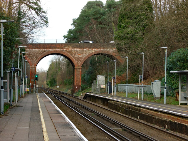
Oxshott railway station
Oxshott railway station serves the village of Oxshott, in Surrey, England. It is 16 miles 79 chains (27.3 km) down the line from London Waterloo. The station...
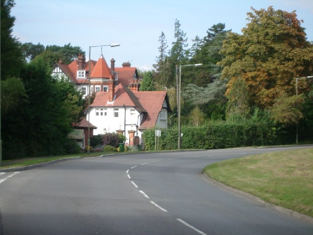
Oxshott
Oxshott is a suburban village in the borough of Elmbridge in Surrey, England. Oxshott includes hilly acidic heath which is partly wooded (see Esher Commons...
Oxshott Heath and Woods
Oxshott Heath and Woods is an area of woods and heathland in Oxshott, Surrey, England covering approximately 200 acres (81 ha), as an area of common land...
Colony Bog and Bagshot Heath
Colony Bog and Bagshot Heath is a 1,130.5-hectare (2,794-acre) biological Site of Special Scientific Interest between Camberley and Woking in Surrey, England...
Nearby Amenities
Located within 500m of 51.335518,-0.358919Have you been to Clarendon Park?
Leave your review of Clarendon Park below (or comments, questions and feedback).