Clay Plantation
Wood, Forest in Surrey Elmbridge
England
Clay Plantation

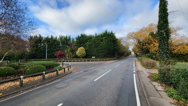
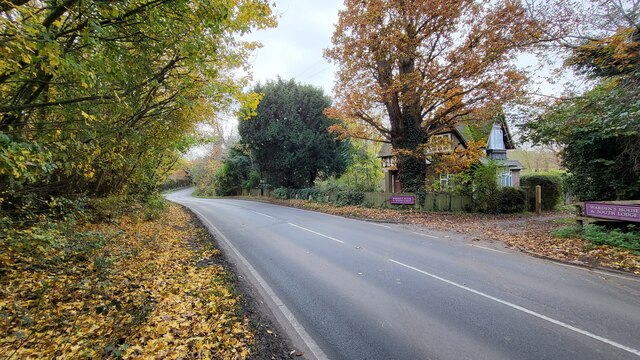
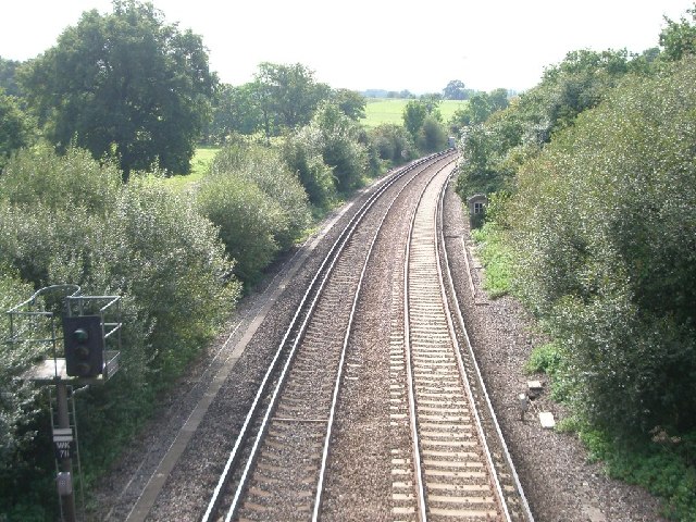
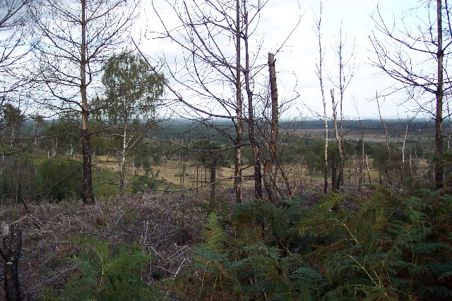
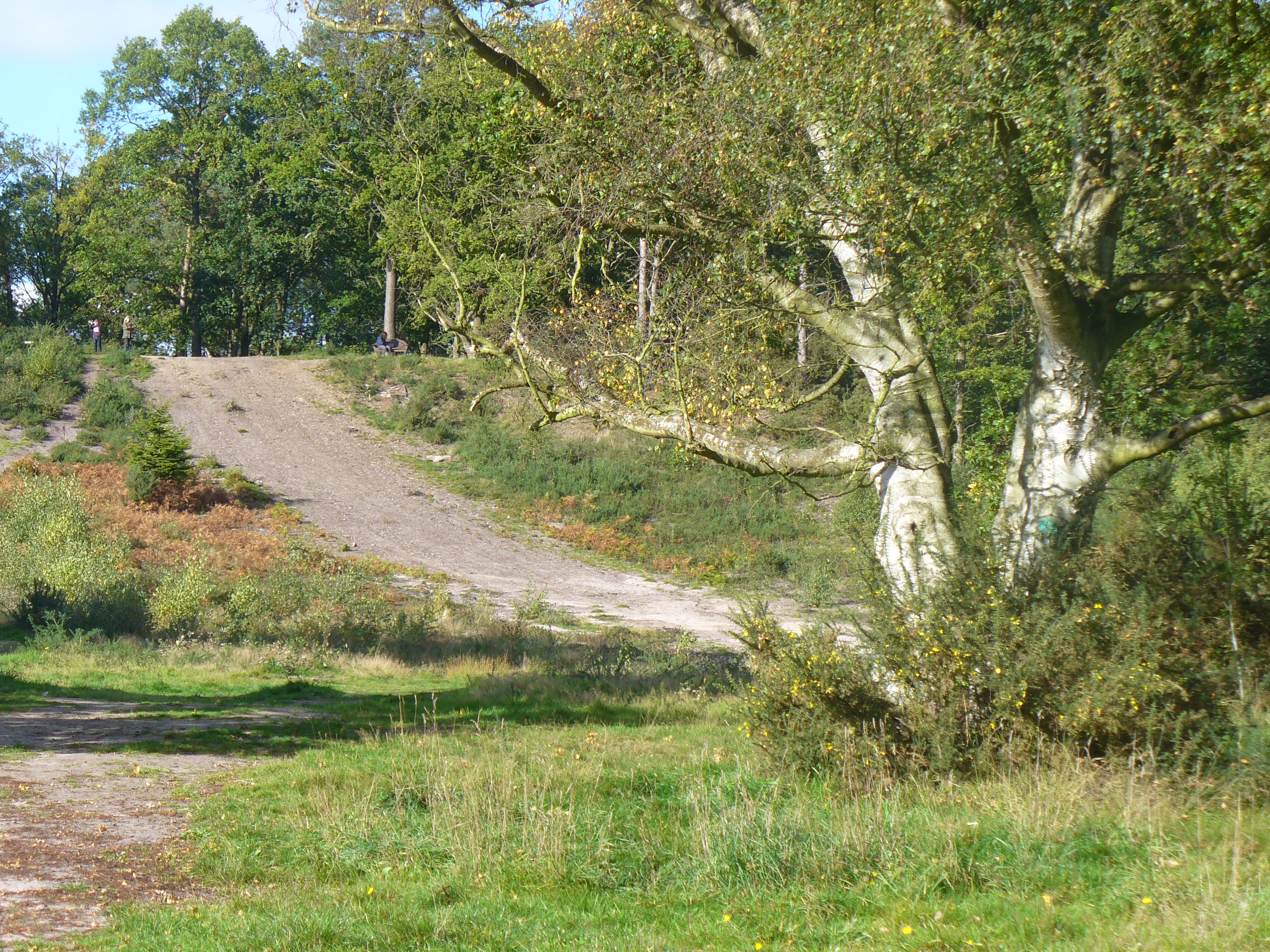
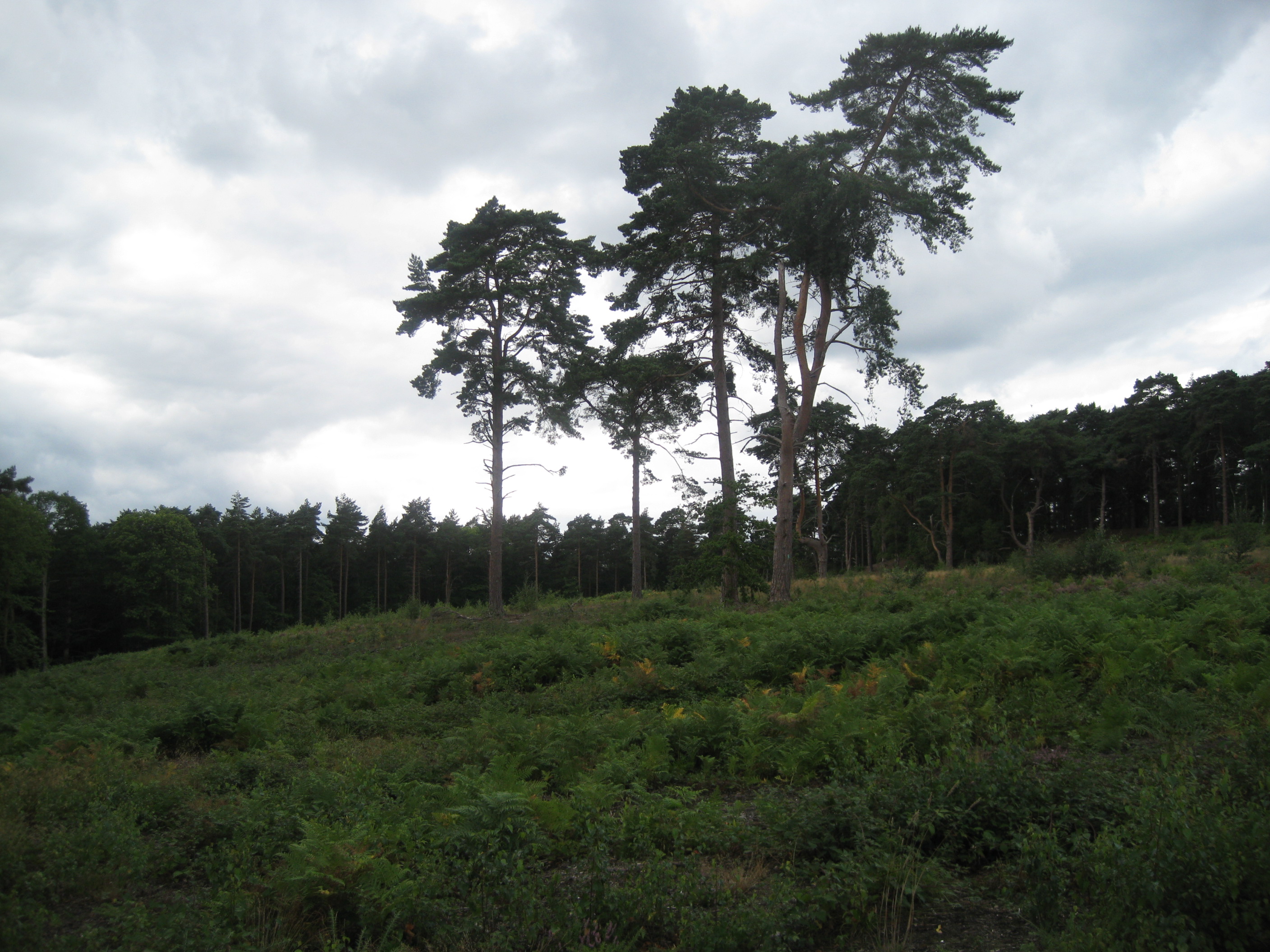
Clay Plantation, located in Surrey, England, is a sprawling woodland area known for its rich clay soil and diverse plant life. Spanning over several acres, the plantation is nestled within the picturesque Surrey Hills, offering visitors a tranquil and scenic retreat.
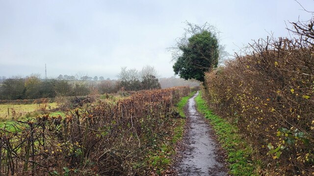
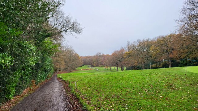
The plantation is predominantly covered with dense woodland, comprising a variety of tree species such as oak, beech, and birch. This diverse ecosystem provides a habitat for numerous wildlife species, including birds, butterflies, and small mammals. The woodland floor is carpeted with an array of wildflowers, adding a burst of color to the landscape during spring and summer.
Clay Plantation is renowned for its high-quality clay soil, which has been historically used for pottery production. The clay deposits found within the plantation have attracted potters and ceramic artists for centuries, making it a significant location for the local arts and crafts scene.
Visitors to the plantation can enjoy a range of recreational activities, including walking, hiking, and birdwatching. The well-maintained trails meander through the woodland, offering breathtaking views of the surrounding countryside. The plantation also features designated picnic areas, allowing visitors to relax and soak in the peaceful atmosphere.
Clay Plantation is easily accessible by car and public transportation, making it a popular destination for nature enthusiasts, photographers, and families seeking a day out in the countryside. With its diverse plant and wildlife, scenic beauty, and historical significance, Clay Plantation offers a captivating experience for all who visit.
If you have any feedback on the listing, please let us know in the comments section below.
Clay Plantation Images
Images are sourced within 2km of 51.328501/-0.36453774 or Grid Reference TQ1460. Thanks to Geograph Open Source API. All images are credited.


Clay Plantation is located at Grid Ref: TQ1460 (Lat: 51.328501, Lng: -0.36453774)
Administrative County: Surrey
District: Elmbridge
Police Authority: Surrey
What 3 Words
///slim.drums.follow. Near Cobham, Surrey
Nearby Locations
Related Wikis
Colony Bog and Bagshot Heath
Colony Bog and Bagshot Heath is a 1,130.5-hectare (2,794-acre) biological Site of Special Scientific Interest between Camberley and Woking in Surrey, England...
Oxshott
Oxshott is a suburban village in the borough of Elmbridge in Surrey, England. Oxshott includes hilly acidic heath which is partly wooded (see Esher Commons...

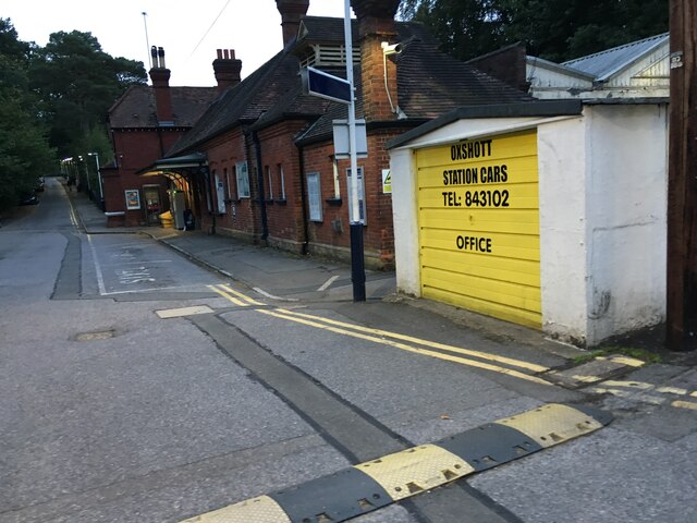
Oxshott railway station
Oxshott railway station serves the village of Oxshott, in Surrey, England. It is 16 miles 79 chains (27.3 km) down the line from London Waterloo. The station...
Oxshott Heath and Woods
Oxshott Heath and Woods is an area of woods and heathland in Oxshott, Surrey, England covering approximately 200 acres (81 ha), as an area of common land...

Reed's School
Reed's School is an independent secondary boarding school for boys with a mixed sixth form located in Cobham, Surrey, England. There are currently around...
Stoke d'Abernon
Stoke d'Abernon () is a village and former civil parish in the borough of Elmbridge in Surrey, England. It is on the right bank of the River Mole contiguously...
Cobham Training Centre
The Cobham Training Centre, is the training ground of Chelsea Football Club located in the village of Stoke d'Abernon near the village of Cobham, Surrey...
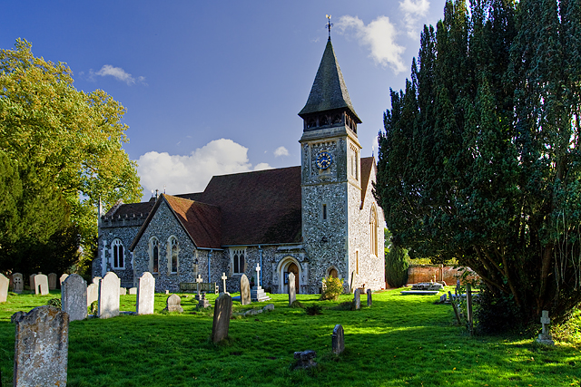
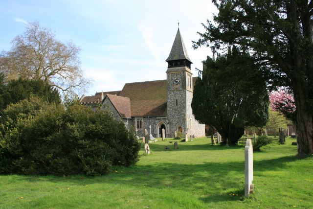
St Mary's Church, Stoke d'Abernon
The Church of St Mary is an Anglican church in the village of Stoke d'Abernon, Surrey, in the Diocese of Guildford. The church, the oldest parts of which...
Nearby Amenities
Located within 500m of 51.328501,-0.36453774Have you been to Clay Plantation?
Leave your review of Clay Plantation below (or comments, questions and feedback).